Category Archives: Big Trip – November 2022

Barn Hill Station, Eighty Mile Beach, Port Hedland, Point Samson, Onslow, Nanutarra,
Exmouth

Exmouth

Wee stop on the Exmouth Peninsula
Exmouth Van Site
Whalebone Brewing Company
Three Espresso Martinis and a Coral Bay Mule

So after a pleasant overnighter at Nanutarra Roadhouse we got going early the next day for the 277km slog to Exmouth and the Ningaloo Caravan Holiday Resort. It’s another drive through the flat arid scrub of the Gascoyne until you get to Burkett Road. At this point you turn west and then make your way north to the Exmouth Gulf and Exmouth.
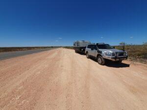
Wee stop on the Exmouth Peninsula

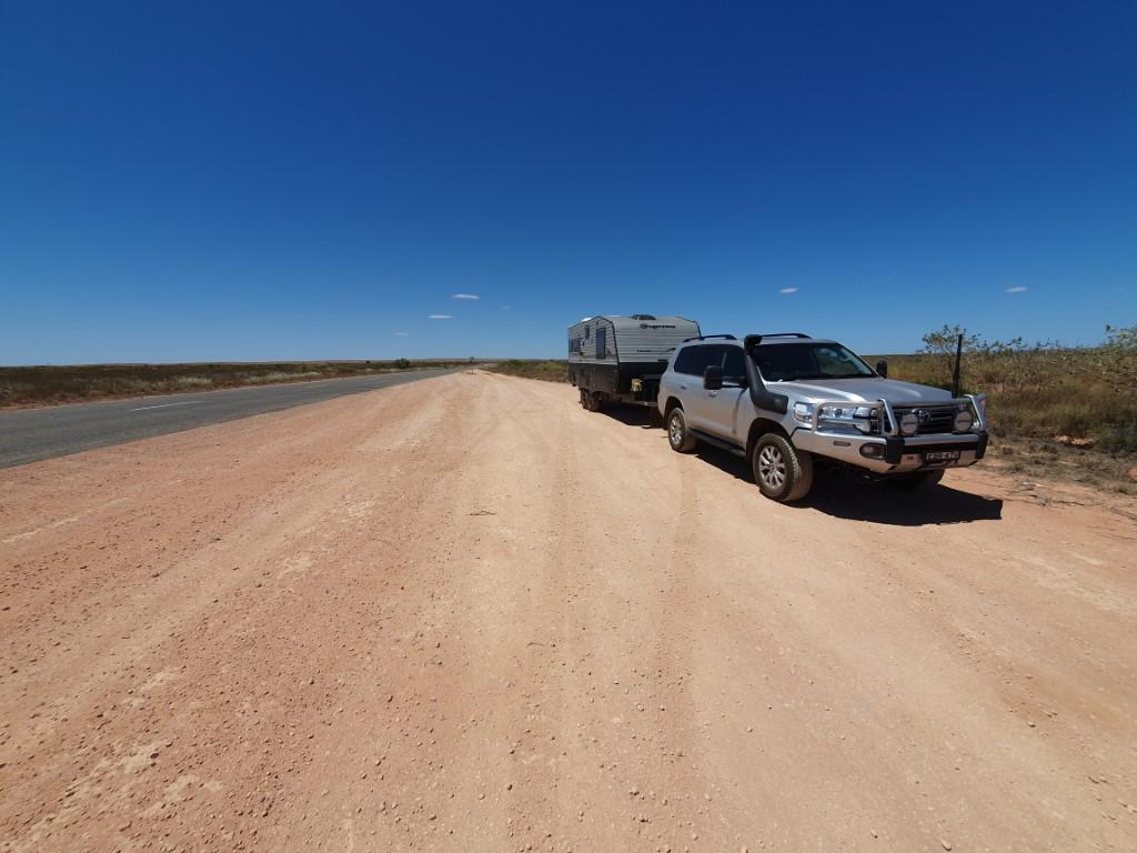
We stooped for a toilet break about 60km south of Exmouth and were struck by just how flat and arid the landscape was despite being so close to the ocean and the Ningaloo Reef. There is an emptiness to Western Australia that is only matched by the Northern Territory. All there is is you, the road, the scrub and the sky…
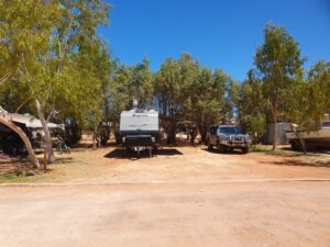
Exmouth Van Site

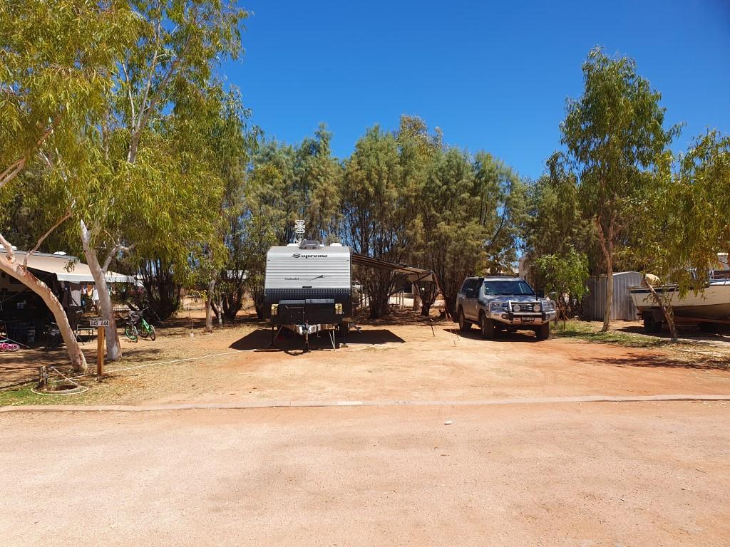
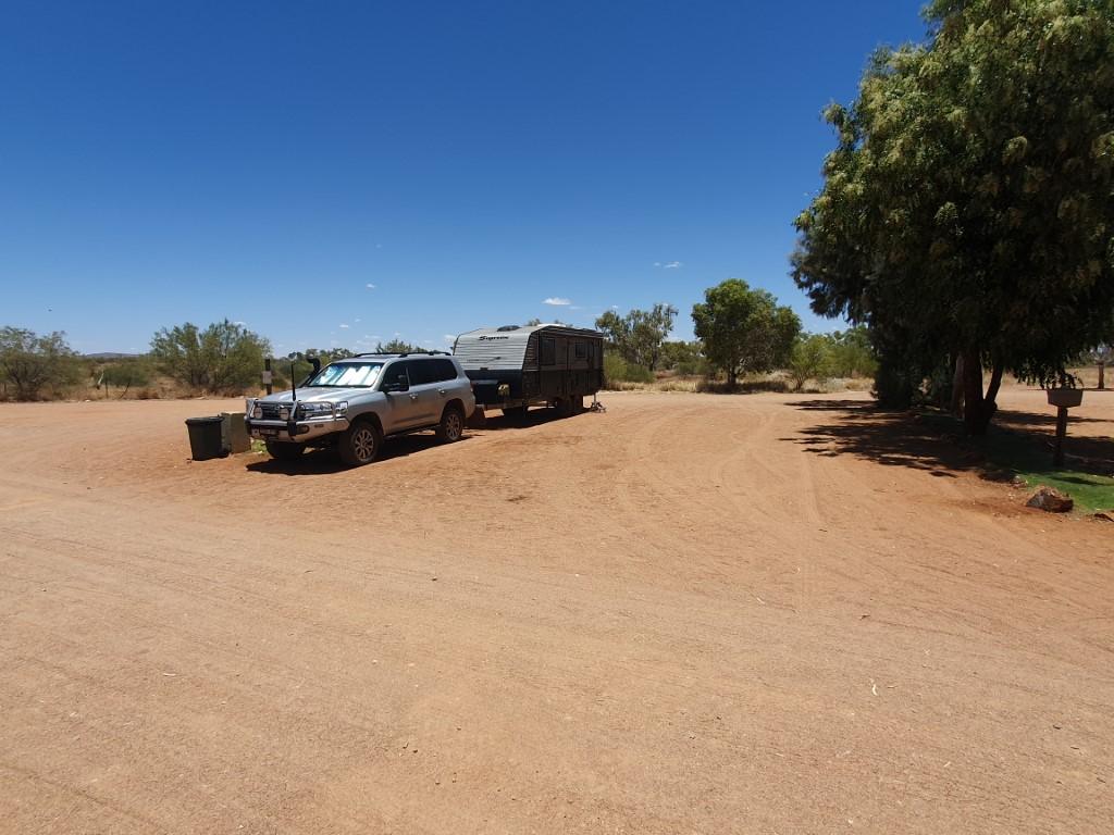
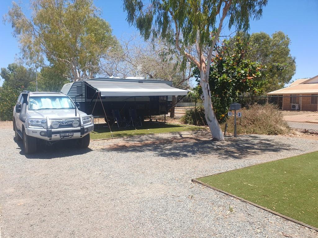
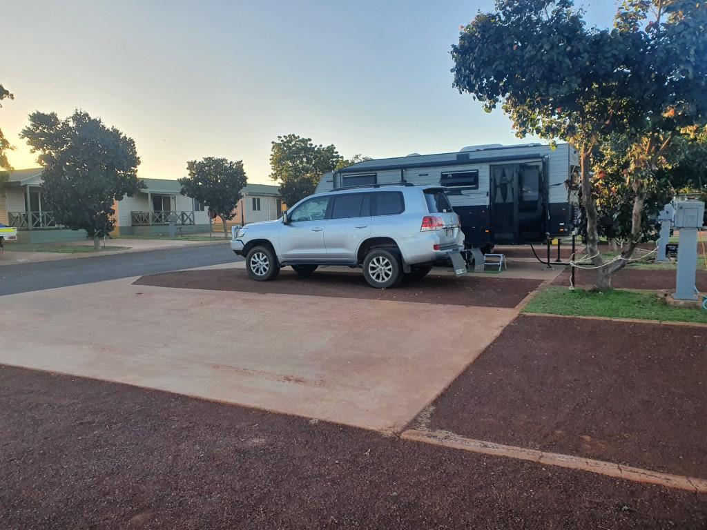
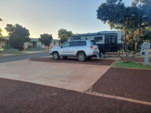
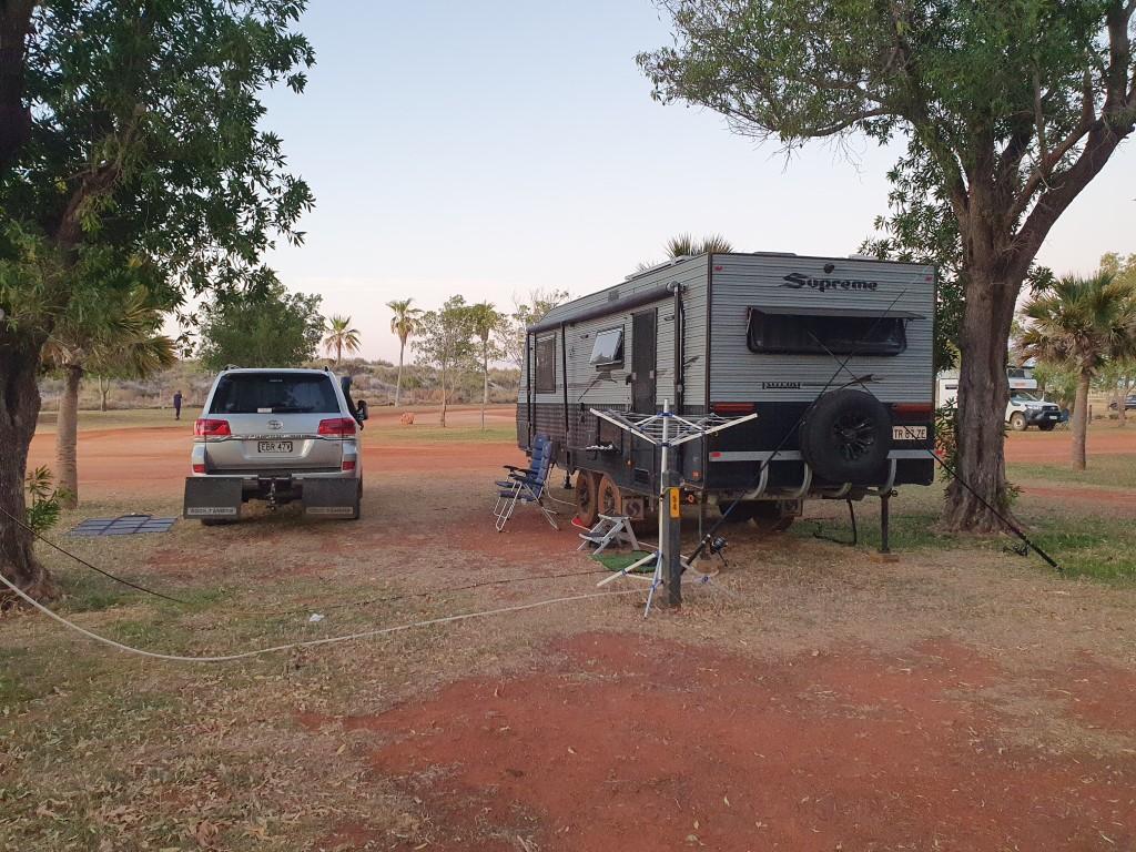
Ningaloo Caravan Holiday Resort is located on the main street, which is set back about 1km from the main beach on the Exmouth Gulf side. It’s a very big caravan park with a few different sections and one of the best pools that we’ve come across. Our site was massive with more than enough room to have the van with the annex out and the cruiser all comfortably side-by-side. It was a red dirt base and getting tent pegs in for the annex was a bit of a saga with Rob having to continually straighten out bent pegs. Each peg would go in about 4cm and then hit some sort of crust that was like rock about 10cm thick. Once through that the tent pegs were in tight but relatively easy to take out by simply twisting them backwards and forwards.
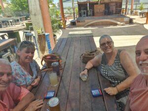
Whalebone Brewing Company

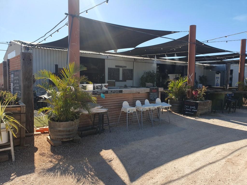
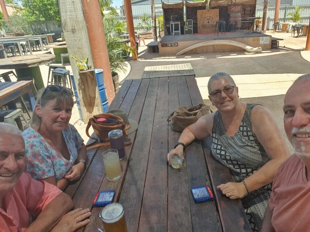
Having unhitched and setup we caught up again with Sandy and Gary who were also staying in the same park. They had taken a different shedule and route from Point Samson to get to Exmouth. It was great to catch up with them again and swap tales since meeting them in Point Samson. We enjoyed a drink and a meal at the Whalebone Brewing Company and they asked us if we wanted to join them on a glass bottom boat cruise and snorkel over the Ningaloo Reef, which we accepted.
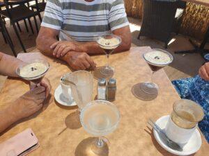
Three Espresso Martinis and a Coral Bay Mule

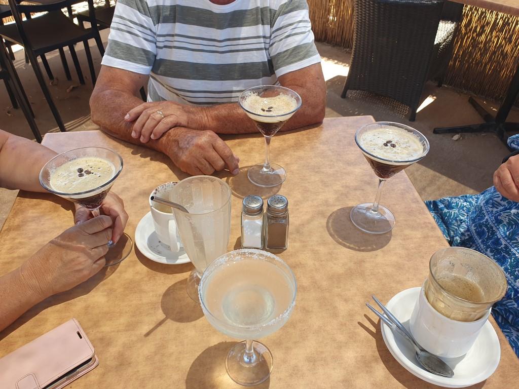
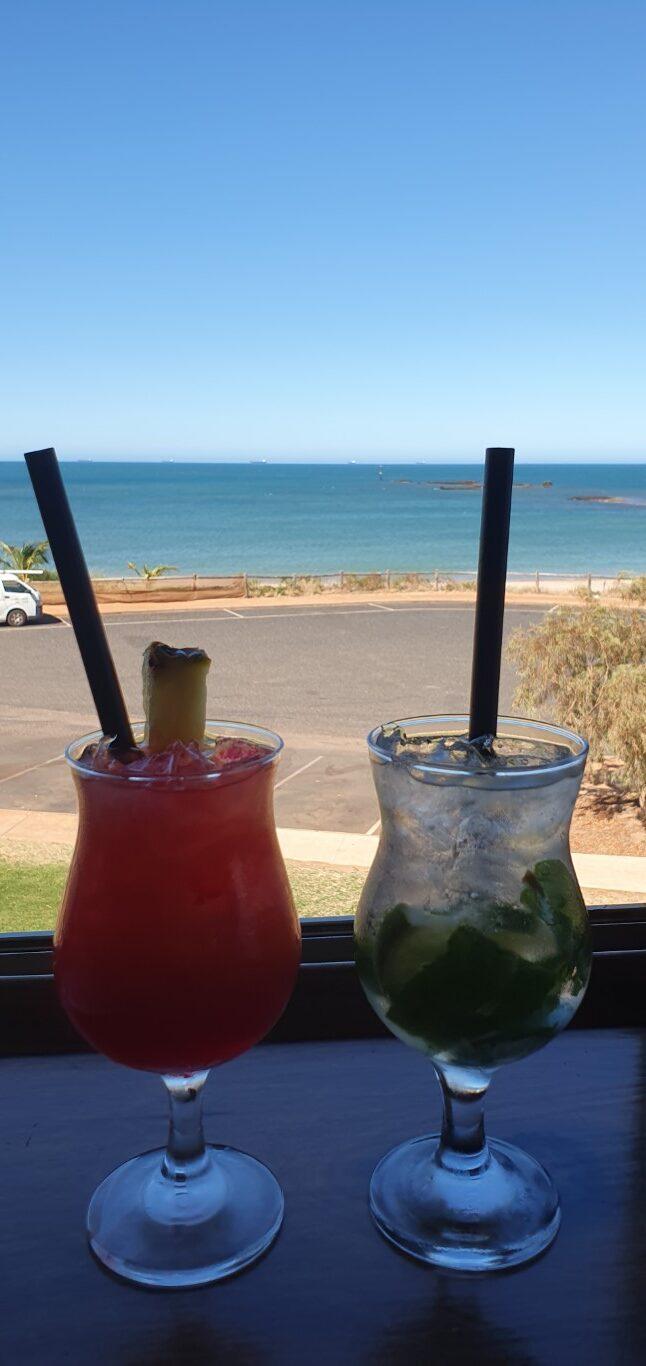
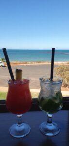
We also spent one afternoon with Sandy and Gary at Mantarays Ningaloo Resort for their cocktail happy hour. We were told that it was a good place to enjoy a cocktail as the sun went down. And although it was a beautiful setting near the resort’s pool, the sun actually set behind us so it didn’t turn out to be a sunset drink. Rob did however discover the ‘Coral Bay Mule’, which was the resort’s take on a ‘Moscow Mule‘. See the recipe below… It’s a new favorite cocktail…
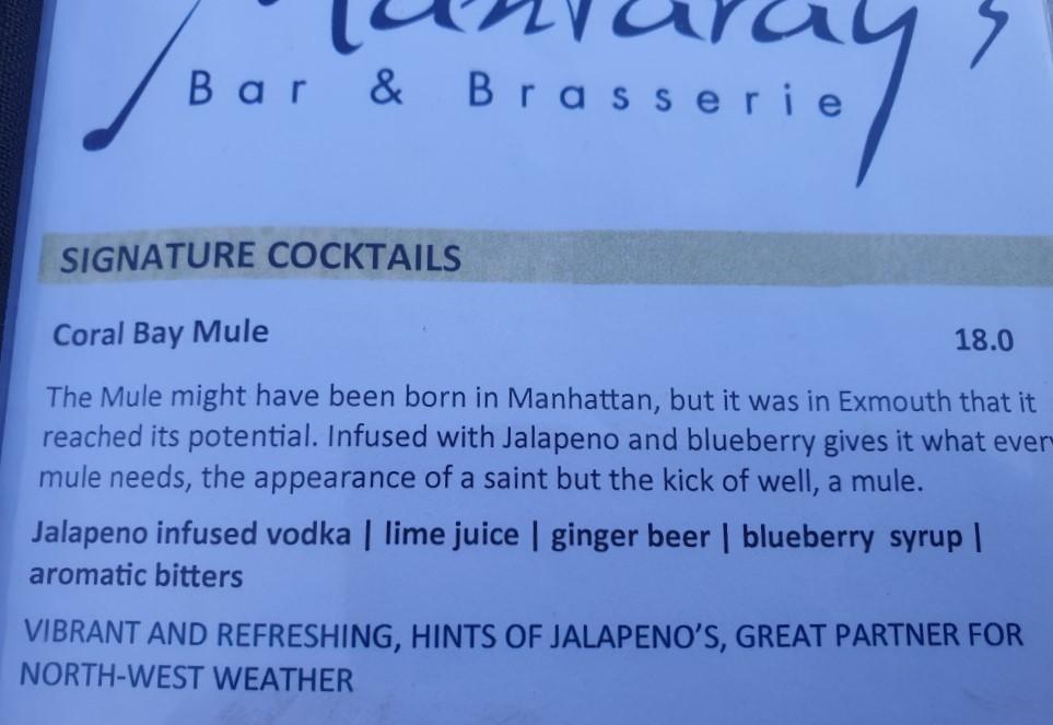
Coral Bay Mule Recipe

Sandy and Gary must have enjoyed our company because we also had a couple meals at the Adrift Cafe, which had cheaper cocktails, great food and exceptionally good service. By the end of our time in Exmouth we were comparing travel plans and agreeing to catch up again as we travelled along.

Exmouth is a very casual kind of town. It’s still quite remote but because of the Ningaloo Reef it’s a very touristy kind of place; but not overtly touristy like Noosa or Byron Bay. It still has a rawness to it that matches the arid surroundings and remoteness of it’s location. We really enjoyed Exmouth and it signalled good times ahead as we began the long haul down the central west coast of W.A.
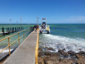
View Ningaloo Glass Bottom Boat
Mermaid at Ningaloo Reef
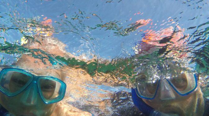
Snorkelling at Ningaloo Reef
Ningaloo Reef
Ningaloo Reef
Ningaloo Reef
Ningaloo Reef
Ningaloo Reef
Ningaloo Reef
Ningaloo Reef
Ningaloo Reef
Ningaloo Reef
Ningaloo Reef
Ningaloo Reef
Ningaloo Reef
Ningaloo Reef
Ningaloo Reef
Ningaloo Reef
Ningaloo Reef
View Ningaloo Glass Bottom Boat

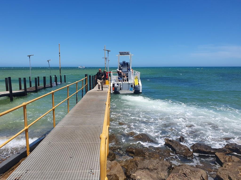
So the morning after we arrived in Exmouth we found ourselves driving to the Tantabiddi boat ramp to board a glass bottom boat for a two hour cruise and snorkelling trip. Exmouth is regarded as the gateway to the Ningaloo Reef and having a chance to see the reef close up was too a good a chance to pass up.
Glass Bottom Boat Viewing Windows

The View Ningaloo semi-submersible boat was a deceptive craft that was actually a lot larger than it looked. It had a catamaran hull, making it very stable in the water. We boarded from the rear and s set of steps took you down to two rows of seats where the outside of the hull was a series of glass viewing windows that provided an excellent view of the sea bottom below.
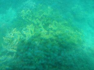
Ningaloo Reef

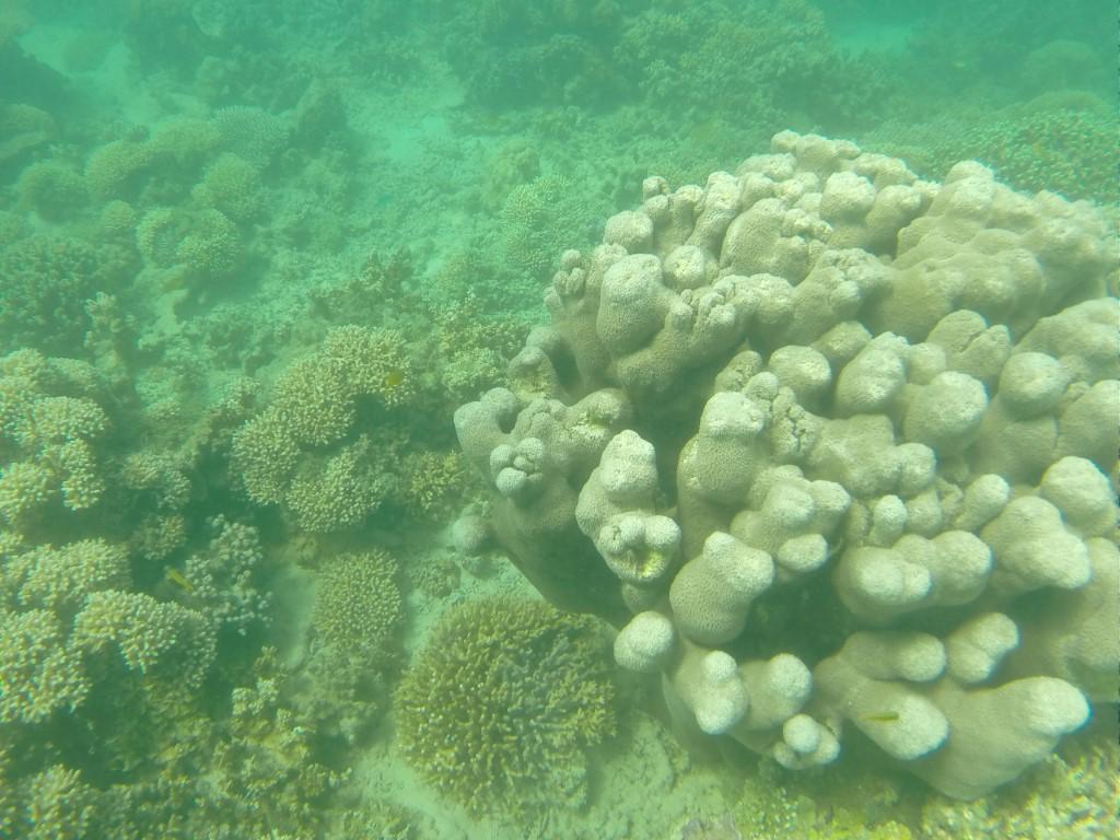
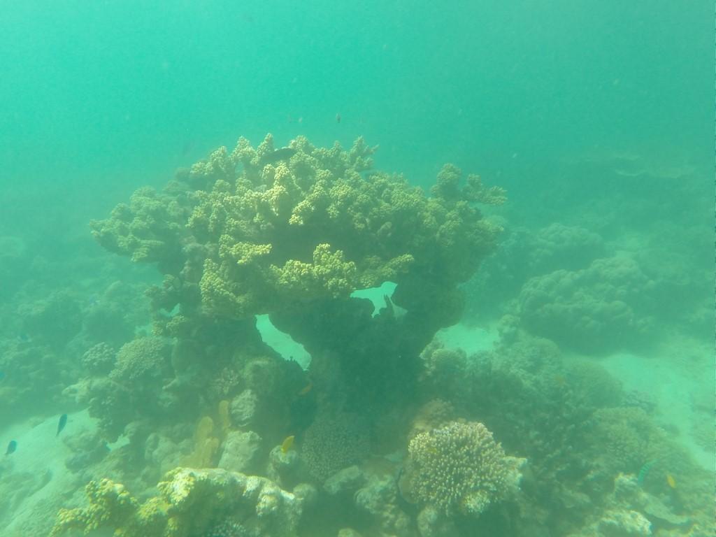
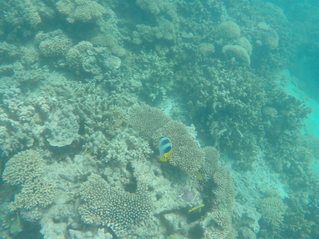
Although the boat was quite sluggish (max. 6 knots) due to the weight, it didn’t take long to get to the reef, which is quite close to the shore. This is because Ningaloo Reef is a fringing reef unlike the Great Barrier Reef. It wasn’t long before we were viewing the corals through the bottom of the boat.

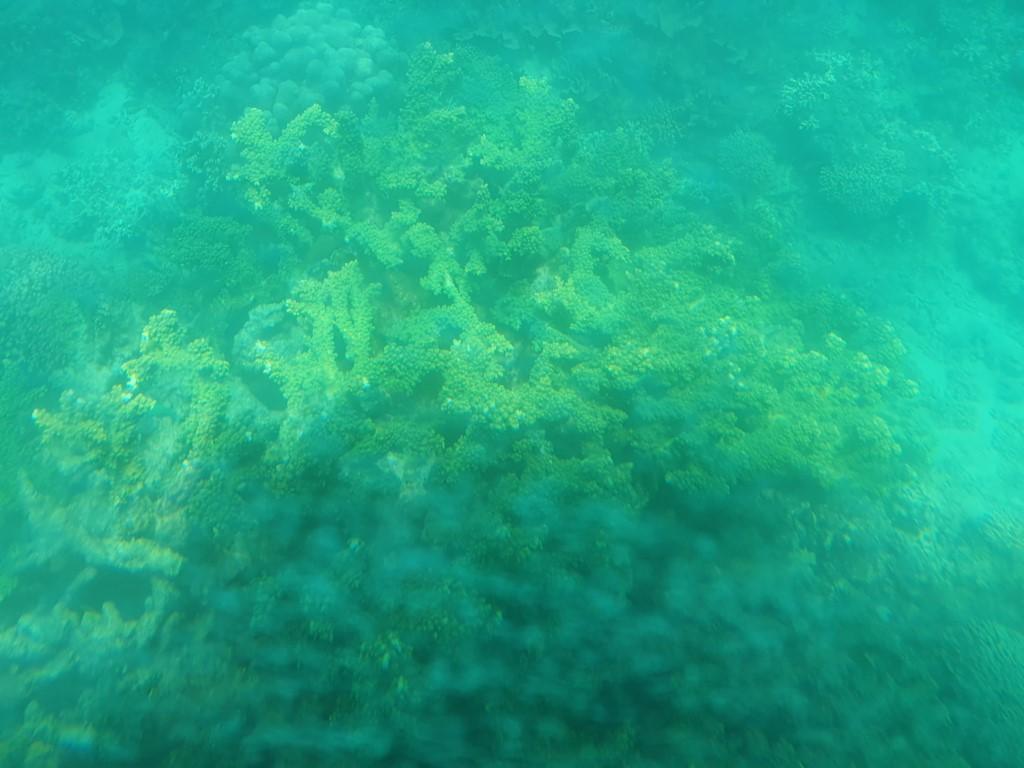
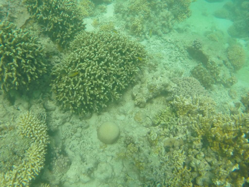
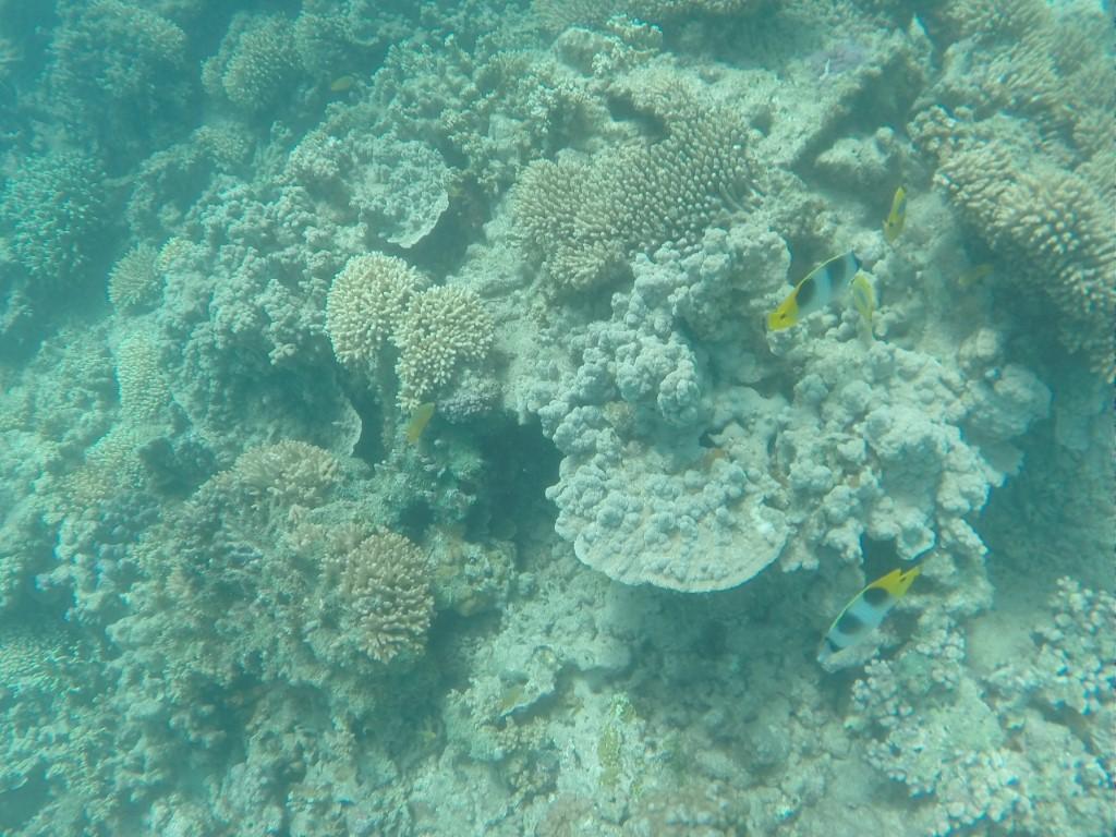
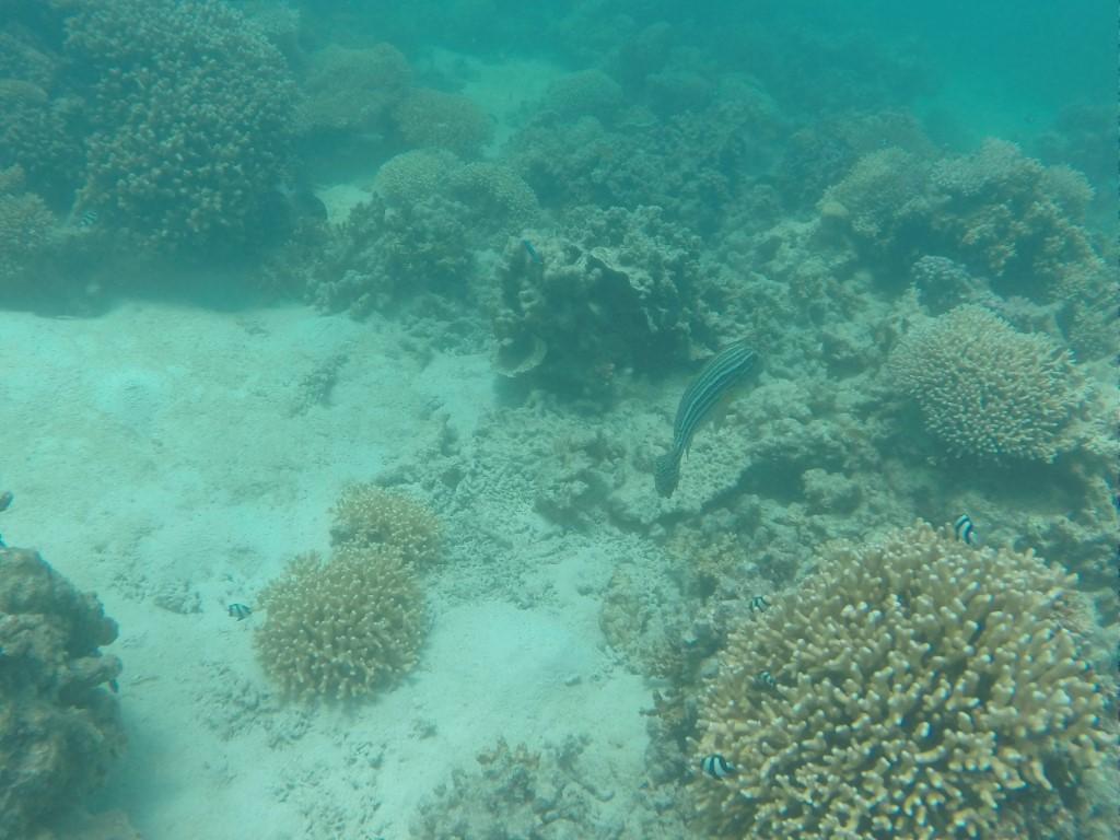
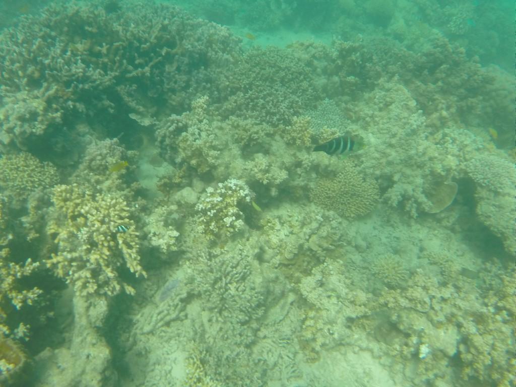
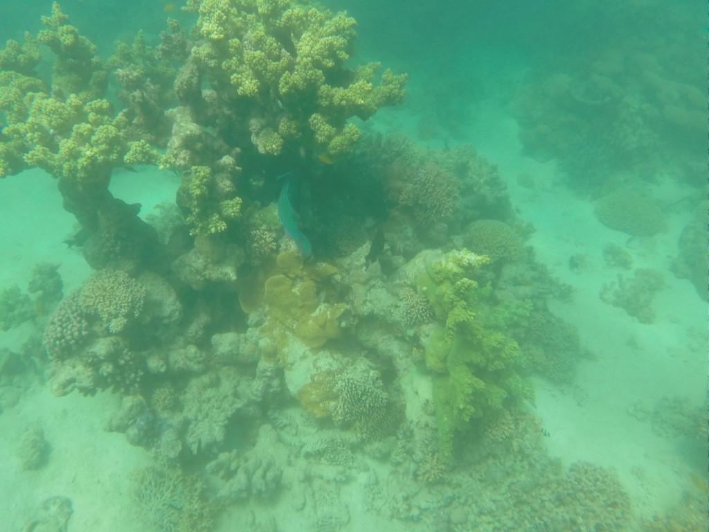
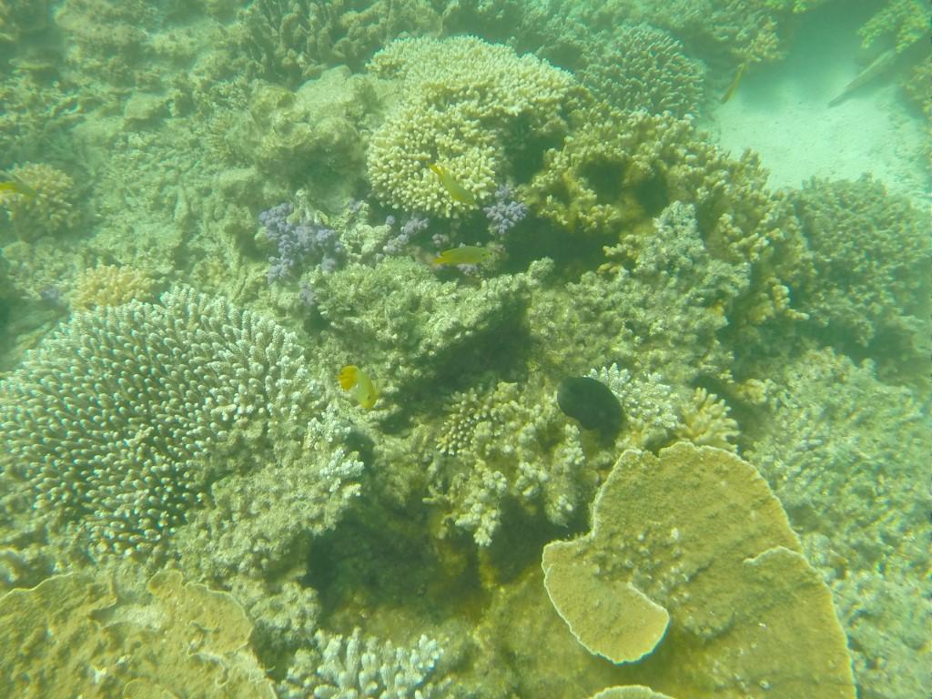
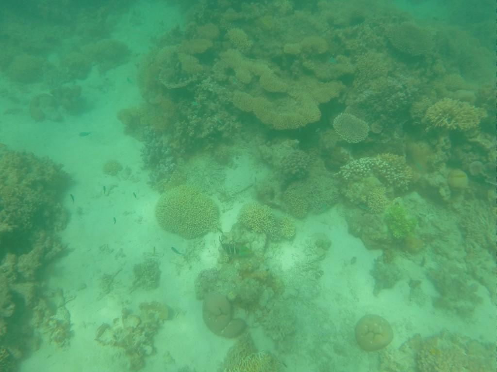
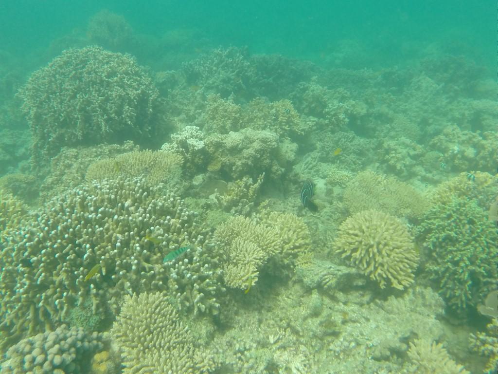
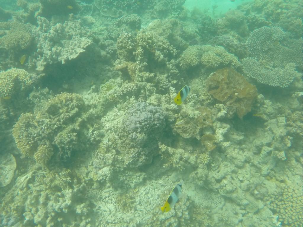
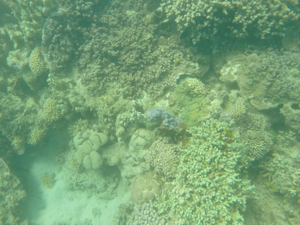
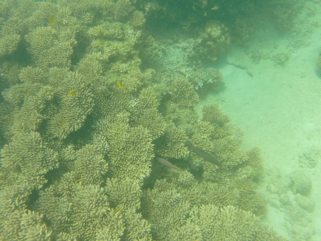
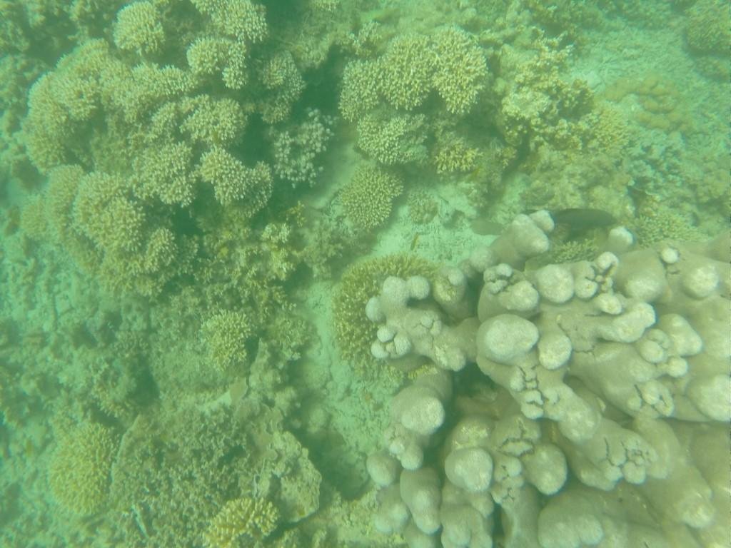
The corals of the Ningaloo Reef aren’t very colourful unlike the Great Barrier Reef and the tour operators were quick to explain that Ningaloo is actually in reasonably good health. The dull coral colours are natural for a fringing reef but we were still treated to the odd burst of colour from the tropical fish that take refuge amongst the coral.
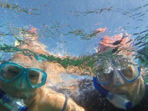
Snorkelling at Ningaloo Reef

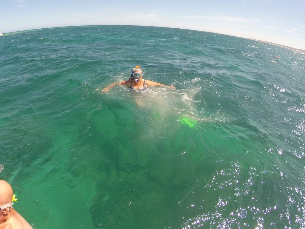
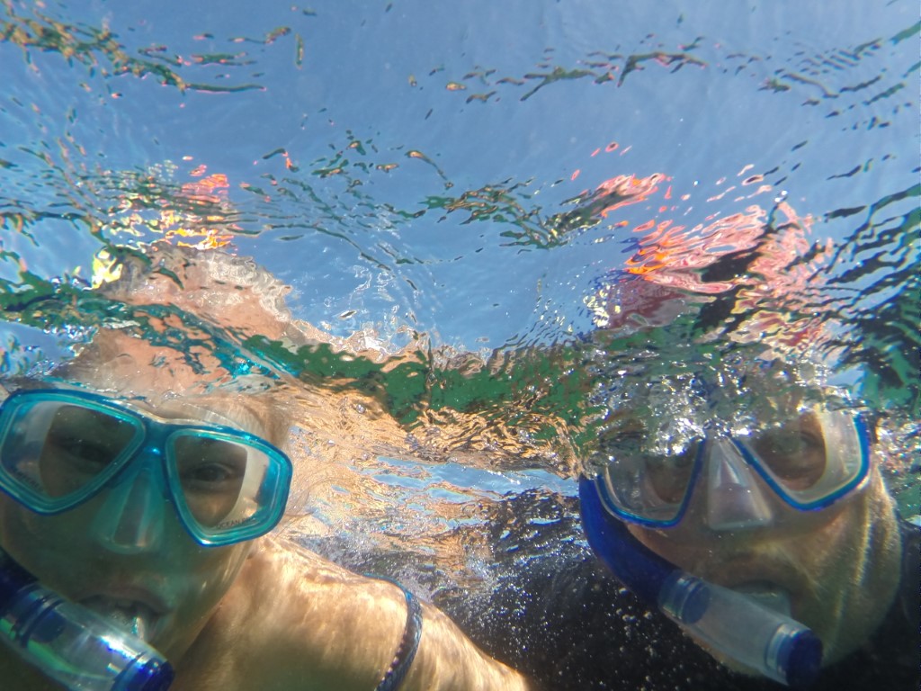
After a brief cruise and coral viewing we were invited up onto the outside deck to grab some fins, mask and a snorkel to jump in and get up close to the reef. The water was beautifully clear and on the cool side of warm, which was nice. Jo was hoping the get up close to a turtle but alas we only saw a couple from a distance on the boat.
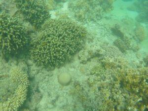
Ningaloo Reef

There was however an abundance of tropical fish that were completely unphased about our presence. The corals were the main attraction though despite their dull brownish appearance. We snorkelled for the best part of an hour before returning to the boat for some more viewing through the glass bottom panels.

All in all it was a good day out an a nice introduction to Ningaloo Reef and Exmouth.

Naval Communication Towers
Jurabi Turtle Centre
Jurabie Turtle Centre
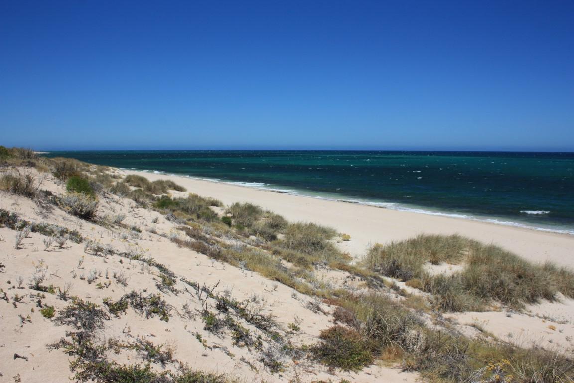
Beach at Jurabi Turtle Centre
Mildura Anchor – Vlamingh Head
Anchor from the Mildura – Vlamingh Head
View from Vlamingh Head
Vlamingh Head Lighthouse
Vlamingh Head
Mildura Wreck
Mildura Wreck

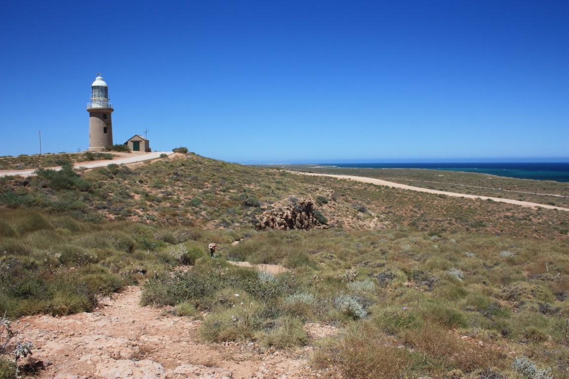
We took a short excursion one morning to the Vlamingh Head Lighthouse… because we love a good lighthouse. It’s situated on the north-western tip of the Exmouth peninsula and the drive took us past a few other interesting places on the way.
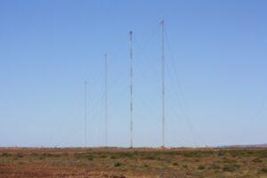
Naval Communication Towers

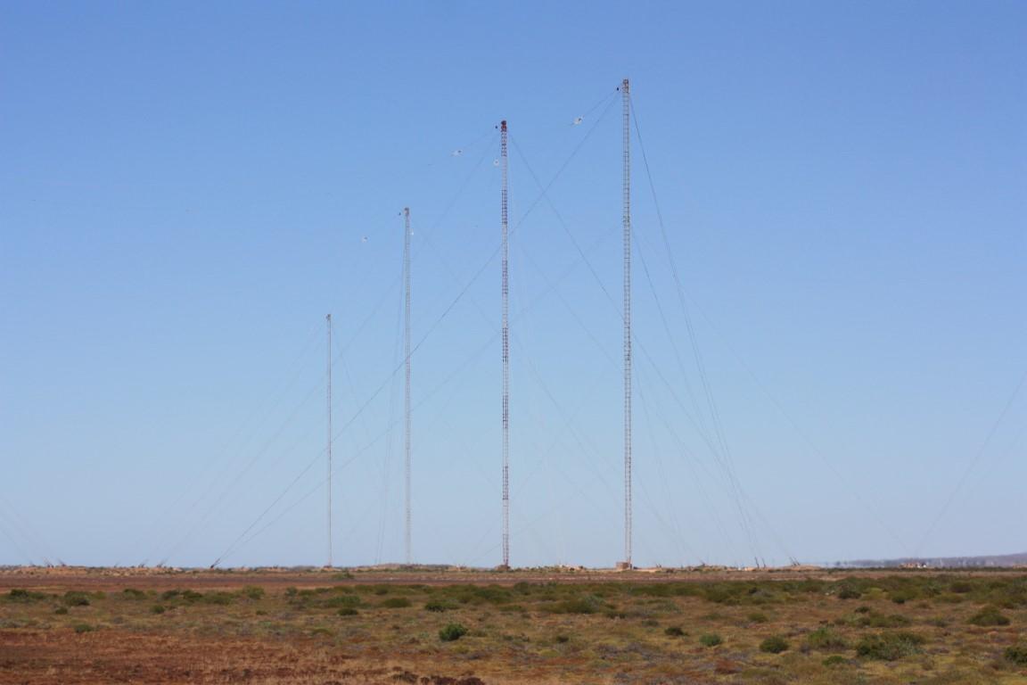
Exmouth was originally established as a naval submarine base and is also home to the Learmonth RAAF base. The landscape just north of town is dominated by thirteen giant towers used for submarine communications. You can drive quite close to one of the towers, which doesn’t seem all that secure given that it is a defence installation. Despite their soaring height, each tower is finely balanced on a (relatively) small pivot point at the base and the whole thing is kept vertical by a number of guy wires attached at various points up the mast. They reminded Rob of the 200m high 2KP (ABC) radio mast at Kinchela, which his dad used to monitor back in his childhood years.
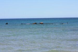
Mildura Wreck

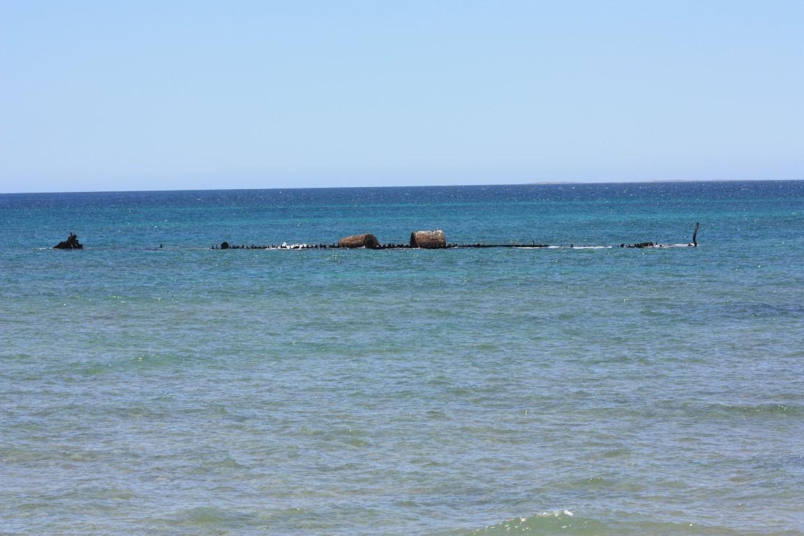
Before you get to the lighthouse you can make a turn north to see the remains of the shipwrecked SS Mildura. It lies about 80m offshore and the rusting remains are still visible just above the water’s surface, more so at low tide. It was carrying cattle and some passengers when it became stuck on the reef where it sat for a few days with all on board until it was finally decided to abandon ship. The cattle were all put into the ocean and left to swim ashore. The SS Mildura became a ‘lucky’ catalyst for the construction of Vlamingh Head Lighthouse.
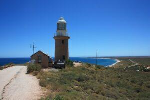
Vlamingh Head Lighthouse

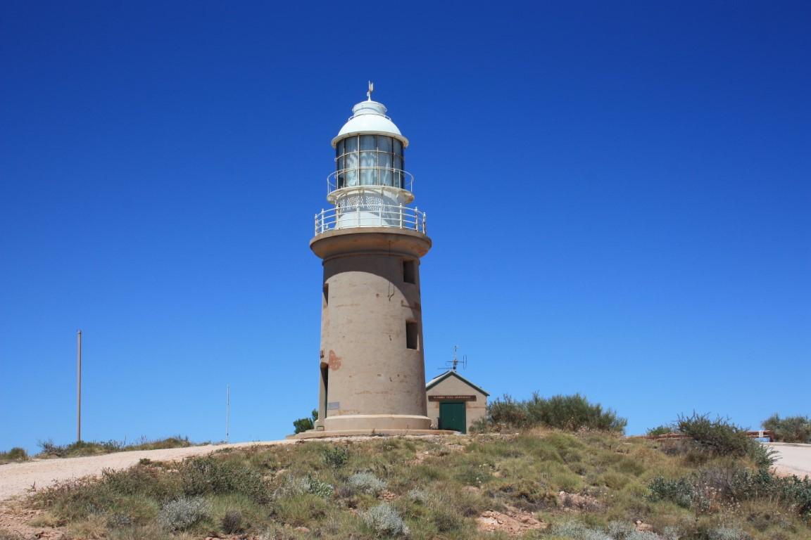
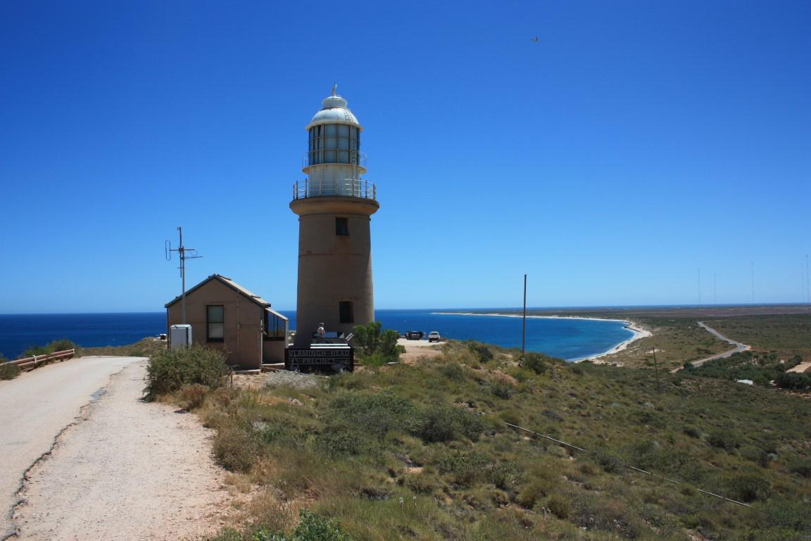
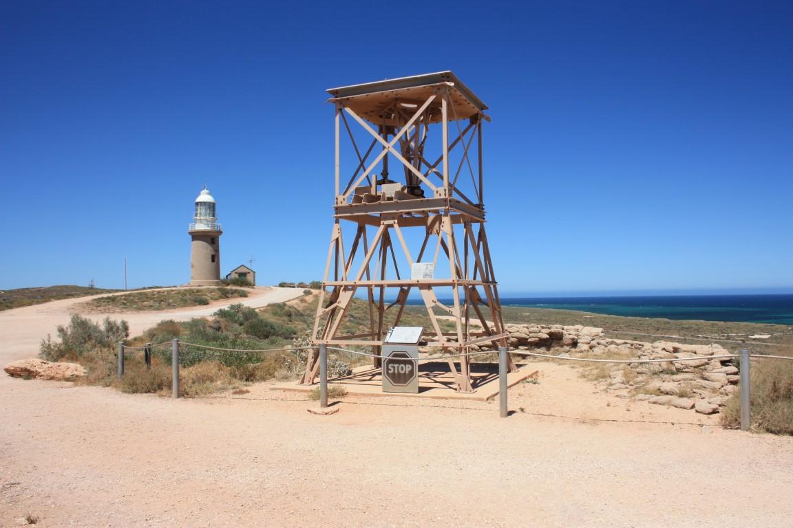
Vlamingh Head Lighthouse was one of five lighthouse sites under consideration in 1907 but not chosen to be built until the SS Mildura was shipwrecked there in that year, which forced a reconsideration and the lighthouse was built. Back then it was incredibly remote and a few of the construction workers died from dysentry due to the poor quality, salty water that they were forced to drink. Exmouth today has a desalination plant that produces potable drinking water for the town.
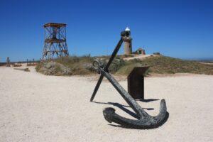
Anchor from the Mildura – Vlamingh Head

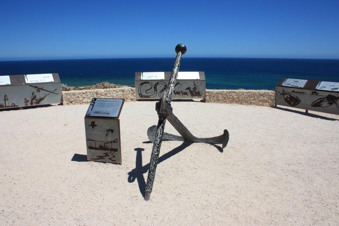
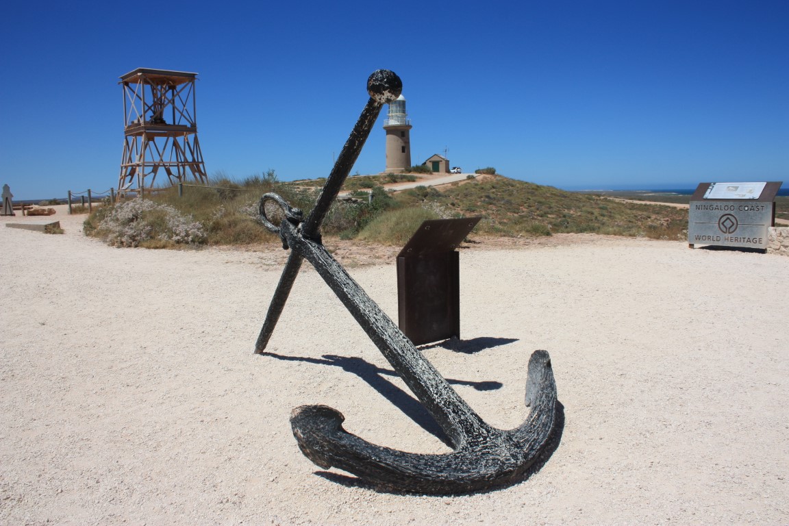
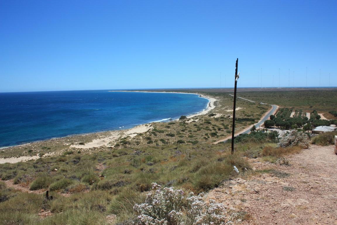
The lighthouse is kept in excellent condition and Vlamingh Head is also and excellent lookout over Lighthouse Bay. The lighthouse is no longer operational; a flashing strobe light has been set up at the top of one of the radion masts at the naval base. However, it still serves its purpose as a historical marker at the site as a point of interest for travellers and tourists. The anchor from the SS Mildura is also on display there as well as the remains of a radar installation from WW2.

It’s a fascinating part of the Exmouth peninsula and very well worth the visit when here…
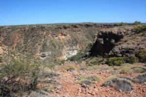
Shothole Canyon
Shothole Canyon
Shothole Canyon
Shothole Canyon
Shothole Canyon
Shothole Canyon
Shothole Gorge
Shothole Gorge
Shothole Gorge
Shothole Gorge
Shothole Gorge
Shothole Gorge flora
Shothole Gorge
Shothole Gorge
Shothole Gorge
Shothole Gorge
Shothole Gorge
Shothole Gorge
Shothole Gorge
Shothole Gorge
Shothole Canyon

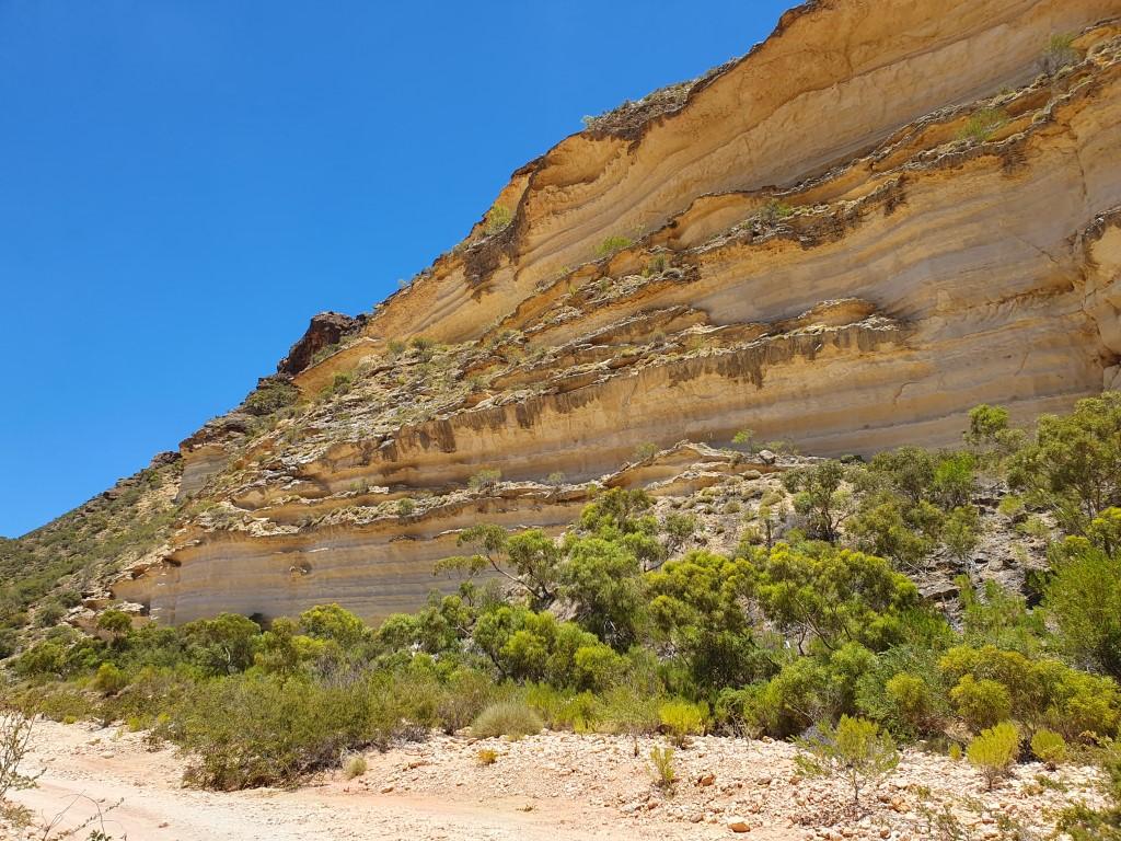
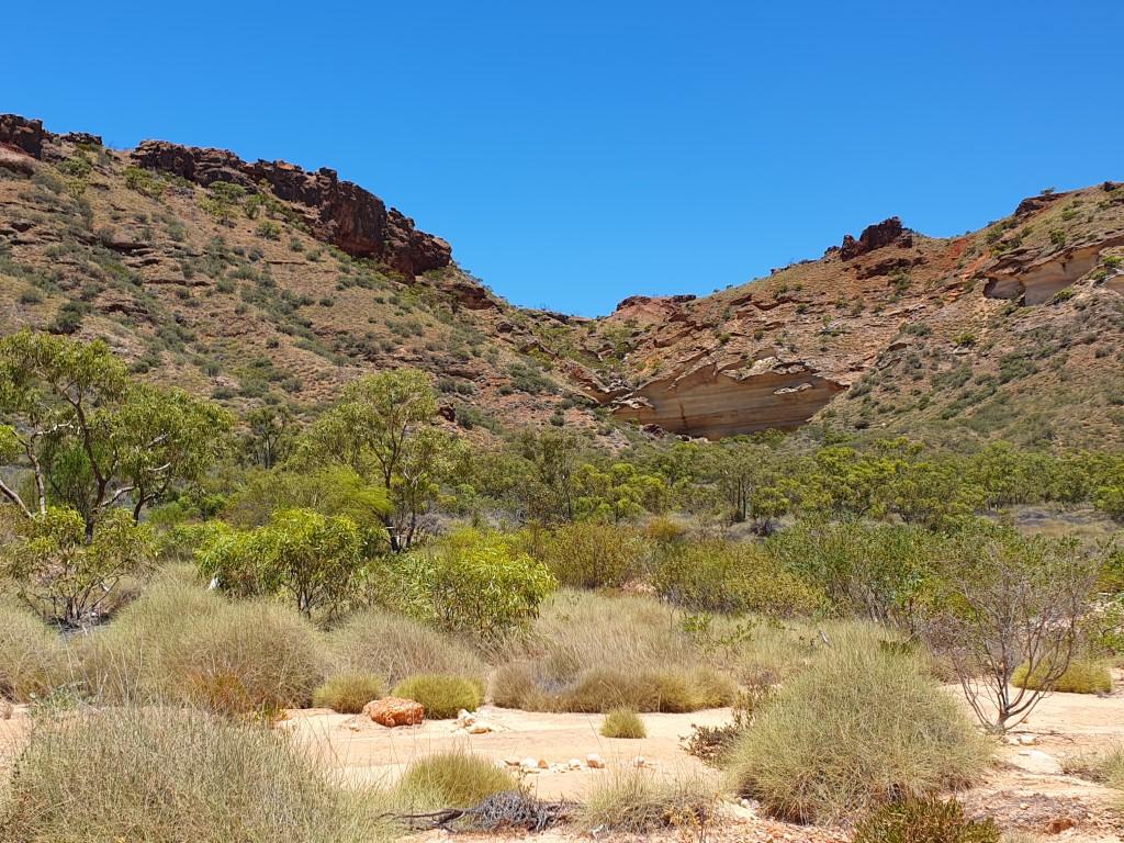
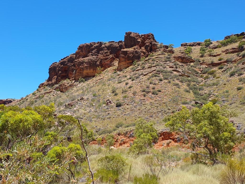
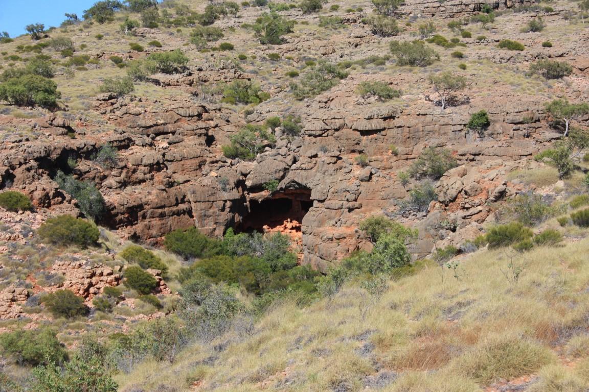
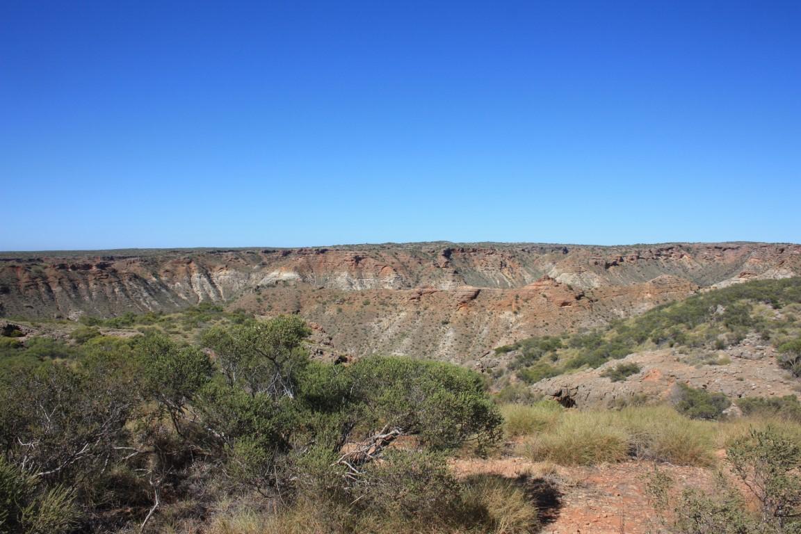
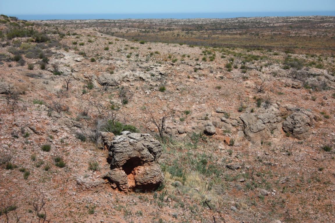
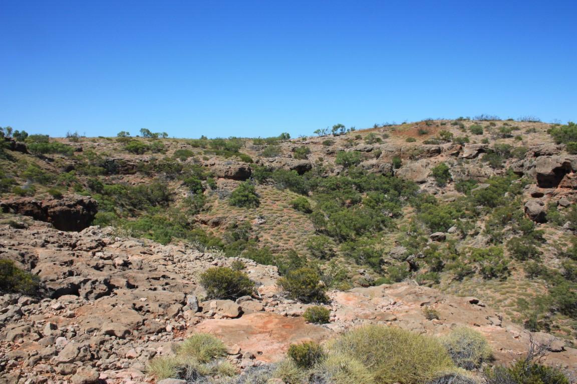
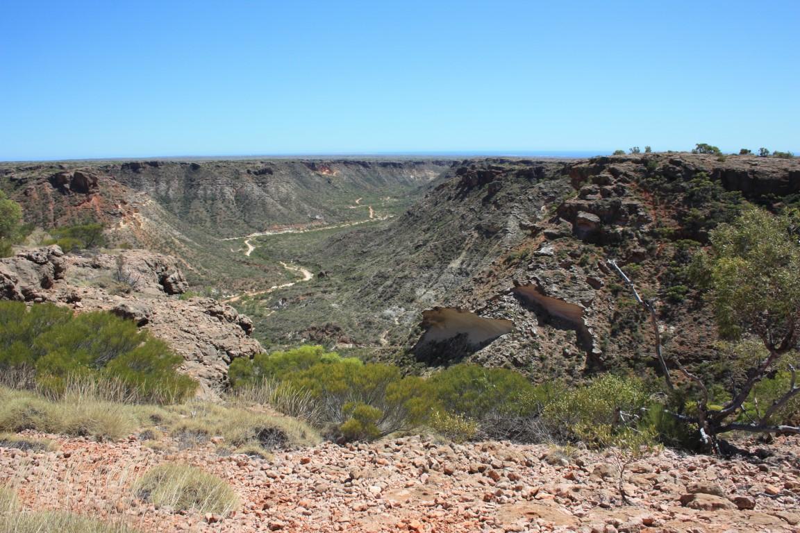
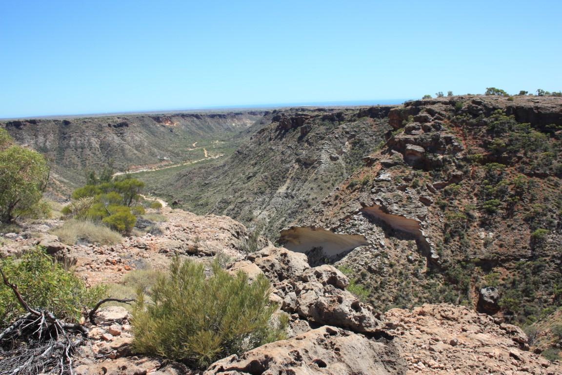
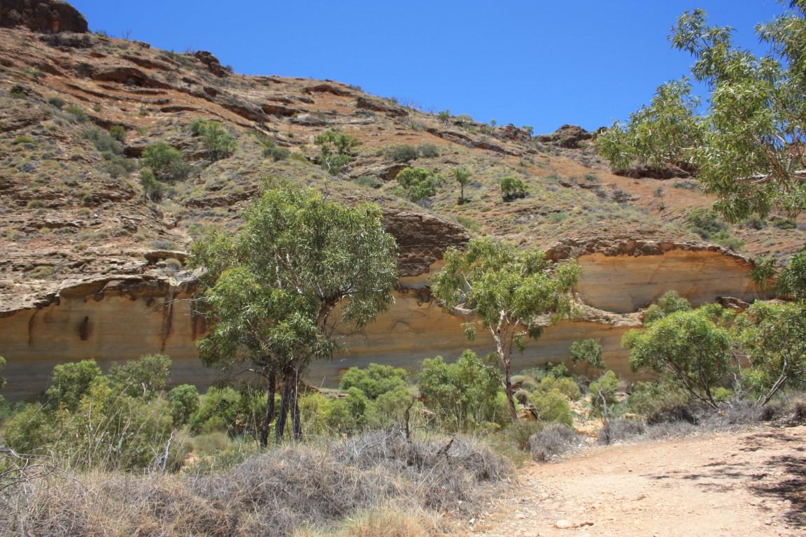
On a very hot and dry morning, which was most of the time in Exmouth, we drove back south to the Shothole Canyon. At Shothole Canyon Road we turned inland and headed into the centre of the peninsula and up a steep bluff into Cape Range National Park. The road, which had a few roller coaster sections, took along a precipitous part of the canyon rim and onto a sweeping plateau.
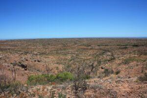
Shothole Canyon

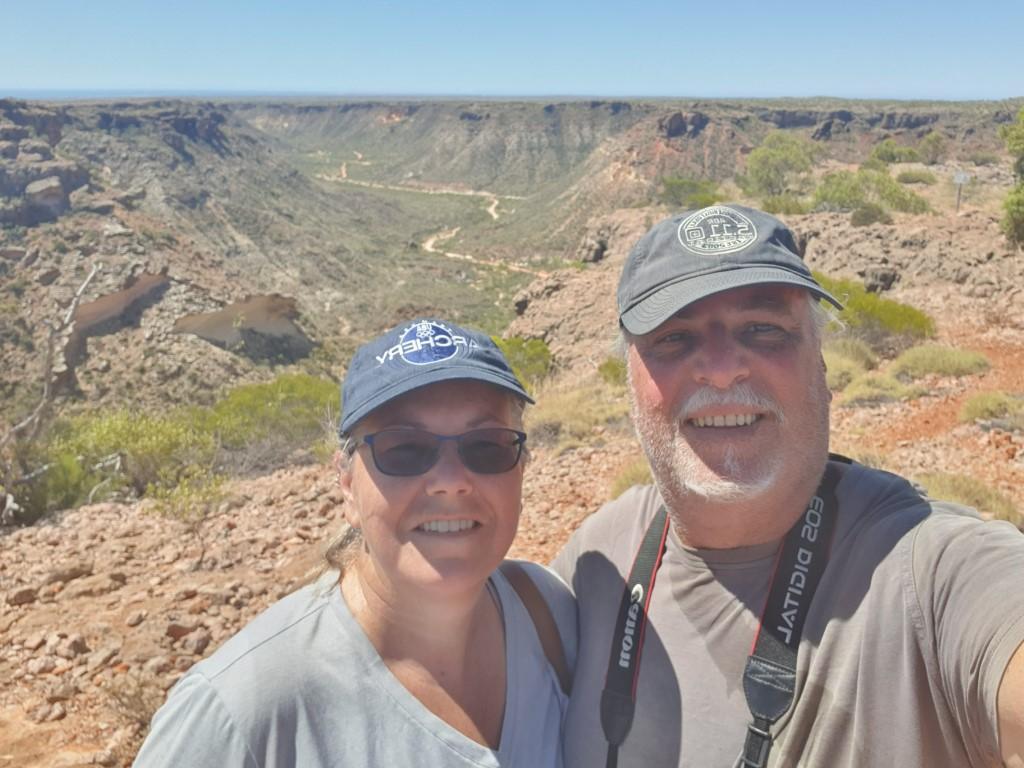
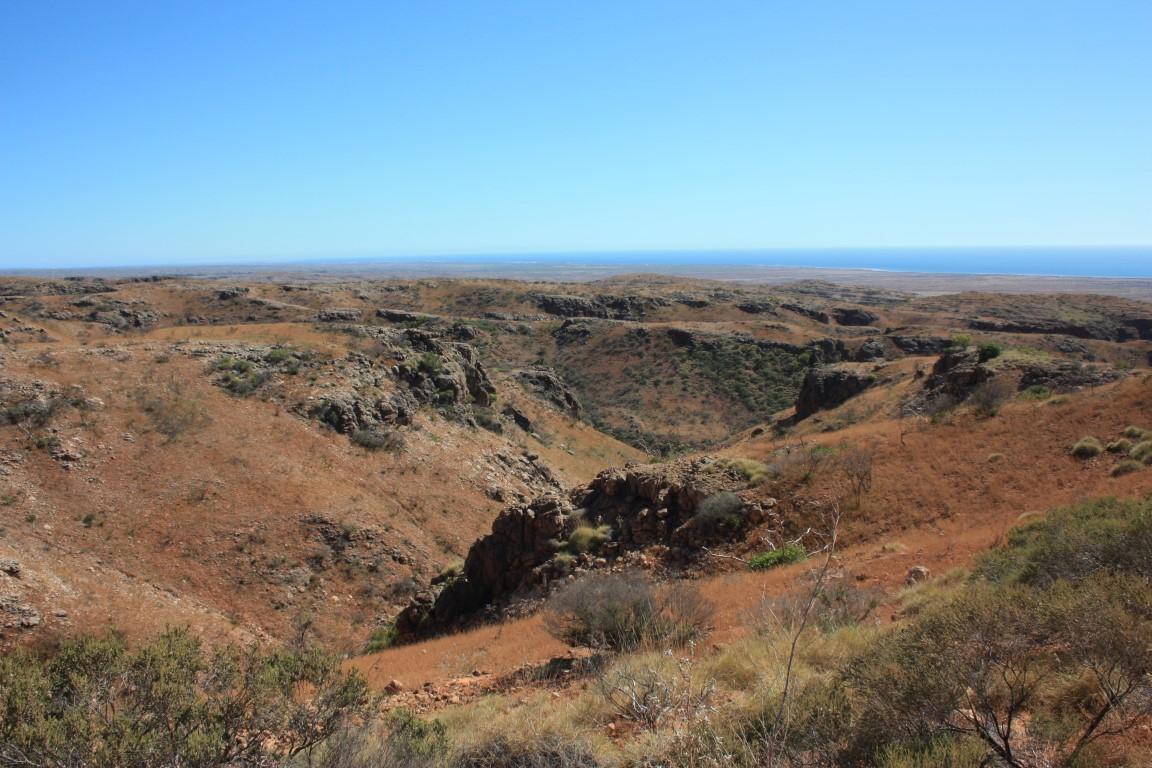
We pulled in at a carpark and did a 2½km walk across the plateau to rejoin the canyon rim at a lookout over the canyon with sweeping views to Exmouth and the Exmouth Gulf. It was a long hot 2½km there and back but very well worth the effort and the sweat.
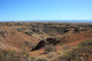
Shothole Gorge

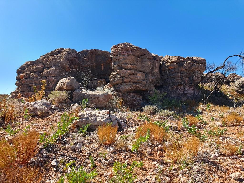
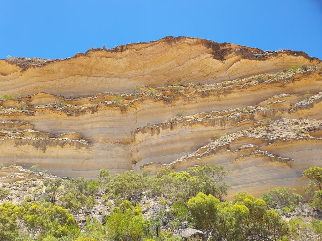
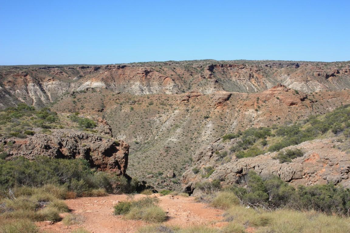
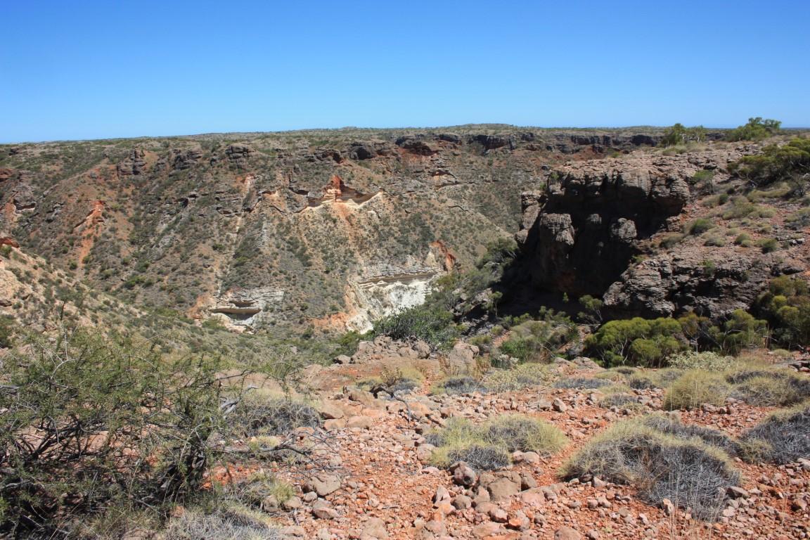
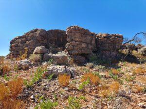
Shothole Canyon itself is quite grand and the three colours of limestone make for some stunning formations and colour variations as earth, wind and water weave their magic over the millenia. Unfortunately in this day the wind and the heat meant that the drone stayed in its bag… again! The lookout was still pretty special though.
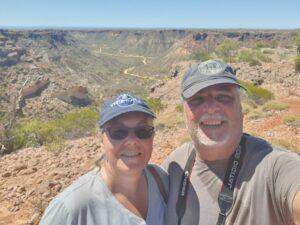
Shothole Gorge

It was also one of our first encounters with the iconic ‘sticky flies’; those annoying little buggers that like to land in the corners of your eye and nearly need to be surgically removed. And once removed they come back again 5 seconds later… little buggers! Not having encountered many flies to date we had conveniently left our fly nets in the car so ended up expending twice the amount of energy by constantly waving our arms around. Not so much ‘the great Aussie salute’ as more like one of those inflatible arm waving tings in front of used car sale yards…
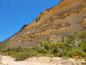
Shothole Canyon

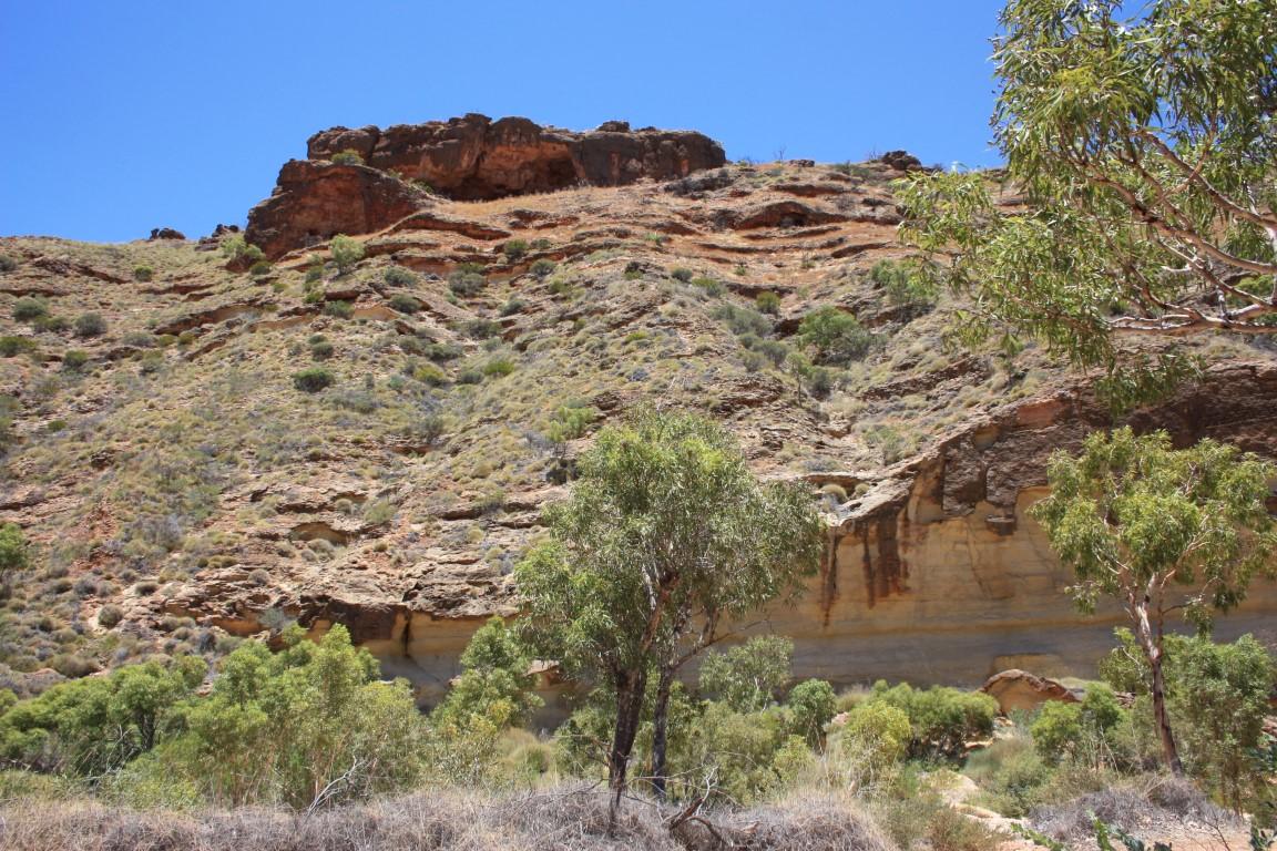
After the hike back to the car we jumped back in and did the reverse roller coaster back down to the bottom of the canyon and did a bit of light 4 wheel driving into the canyon floor. The road was quite rutted and corrugated, which made for a bouncy 12km’s into the spot below the lookout, where you can actually take a walk back up to the lookout if you feel so inclined. Not today for us…
Shothole Canyon

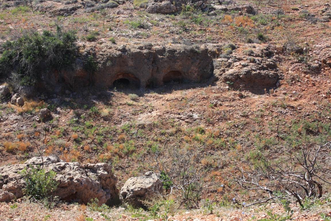
The floor and walls of Shothole Canyon are every bit as picturesque as the view from above. The canyon itself is named ‘Shothole’ after all shot holes left from the use of explosive charges, which were used to create small earthquakes for seismic research and oil exploration.

Turquoise Bay
Pilgramunna Beach Creek
Pilgramunna Beach
Osprey Bay
Osprey Bay
Osprey Bay
Yardie Creek
Yardie Creek
Bats at Yardie Creek
Yardie Creek
Yardie Creek
Yardie Creek Beach
Yardie Creek Beach
Rock Wallaby – Yardie Creek
Pilgramunna Beach
Bats – Yardie Creek
Yardie Creek flora
Shell at Yardie Creek
Bundegi Beach
Bundegi Beach
Jurabie Turtle Centre
Jurabi Turtle Centre
Bundegi Beach

Our other big day out in Exmouth was a day trip around the Exmouth Peninsula into Cape Range National Park and down to Yardie Creek. To get to Yardie Creek we once again drove north to Vlamingh Head around the top of the peninsula then back down south towards Yardie Creek, which is the end of the bitumen.

Jurabi Turtle Center
Jurabi Turtle Centre

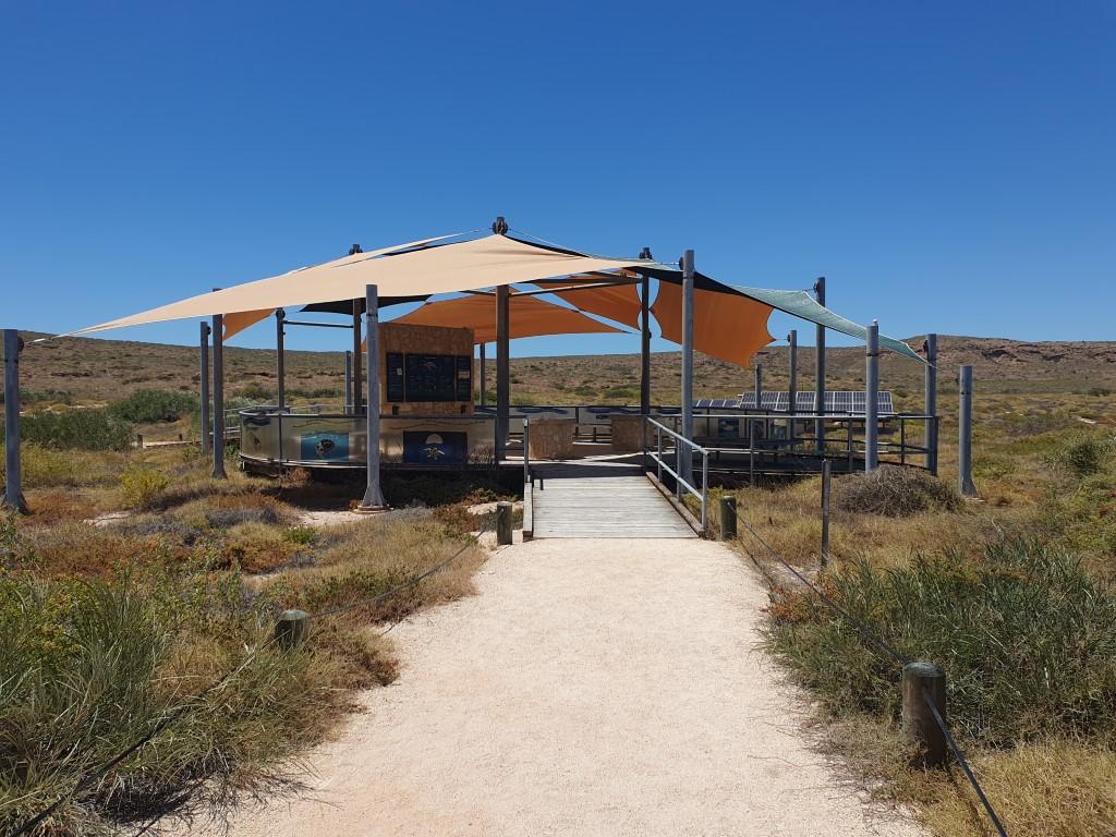
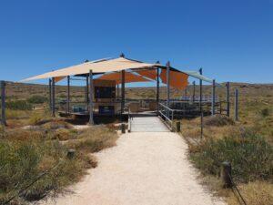
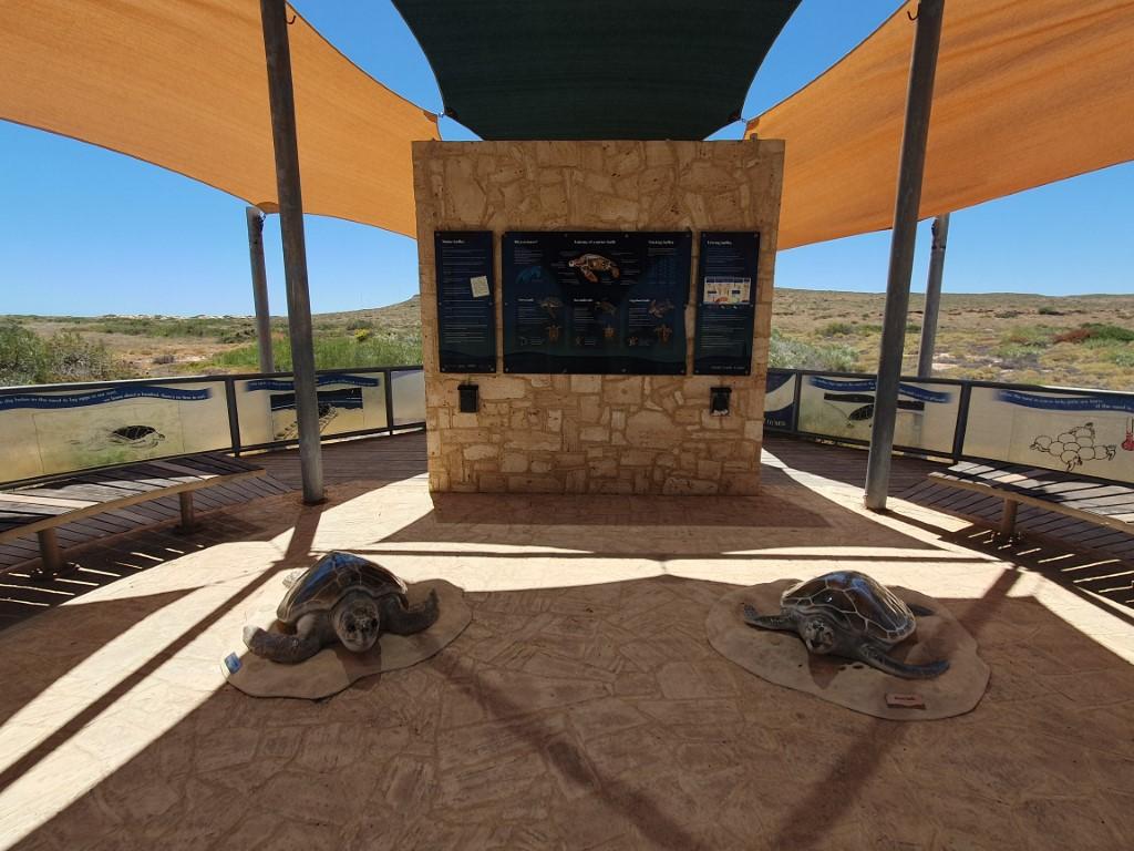
Not far from Vlamingh Head we stopped in at the Jurabi Turtle Center. This is a static display set back from the beach beneath a set of shade sails that resemble a turtle shell from above. The display has an information wall explaining everything you need to know about Green and Loggerhead Turtles that frequent the area and lay their eggs on the surrounding beaches.

Yardie Creek
Yardie Creek Entrance

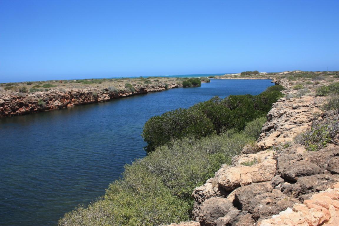
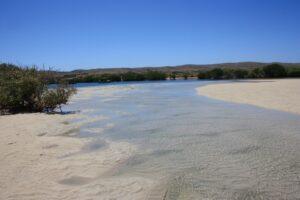
After the Jurabi Turtle Center we headed down to Yardie Creek, 65km south-west down the west side of the peninsula. Yardie Creek is exactly that… a tidal creek that flows out from a rock gorge over a beach sand bar into the ocean.
Yardie Creek

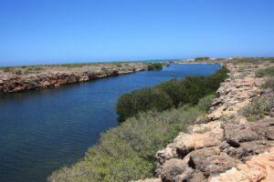
The creek is quite deep and wide as it exits the gorge but becomes quite shallow as it flows over the beach. Yardie Creek is as far as you can go on the bitumen but you can cross from one side to the other in a 4WD if you wish. We chose not to given the soft sand on either side.

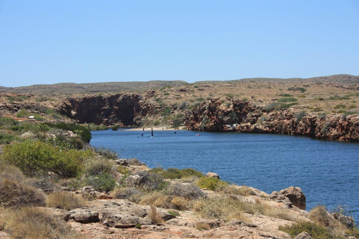
There is a boat tour you can do there but it wasn’t operating on the day we were there. A kayak tour group was setting up when we arrived and that looked like it would have been a good way to get into the gorge proper and see its full extent.
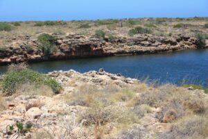
Yardie Creek

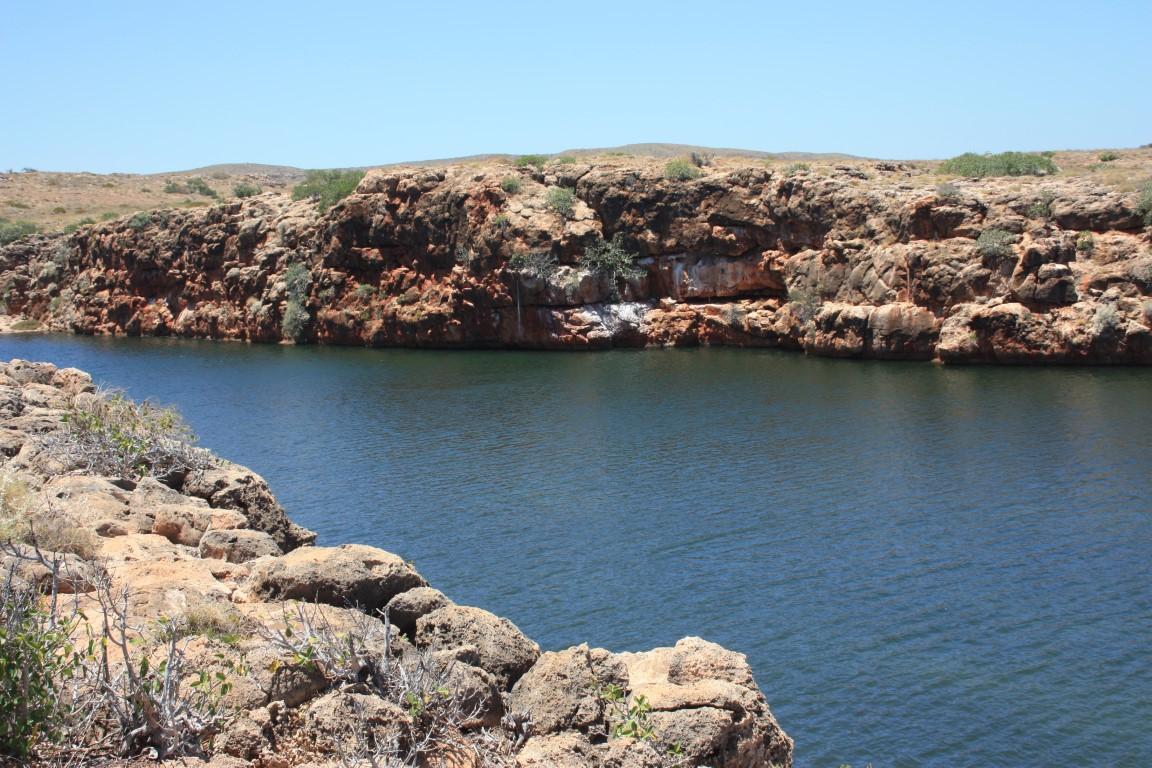
We chose to walk along the creek to the gorge entrance where we had a good view of the gorge’s rock walls. It was like a miniature version of Katherine Gorge with saltwater. The creek was a dark emerald colour and lined with a trees along the rock ledges that were about 4m above the water surface.
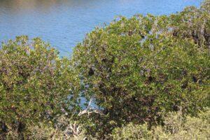
Bats at Yardie Creek

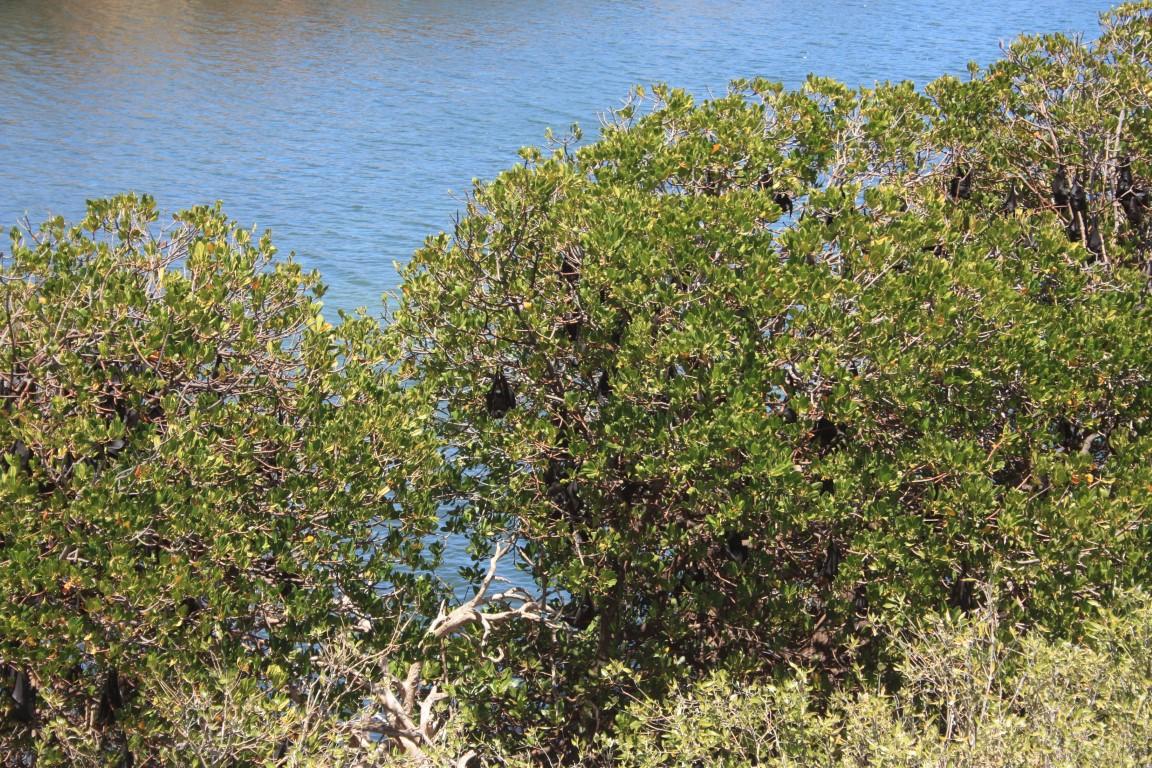
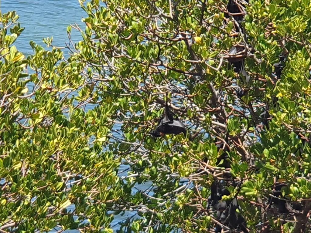
It was a very picturesque creek and a stark contrast to the arid scrub that stretched away from it on either side. In one section the trees were filled with hundreds of bats, which you could easily smell from 50m away as the wind blew through them.
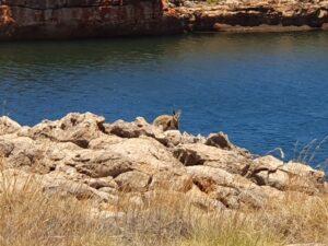
Rock Wallaby – Yardie Creek

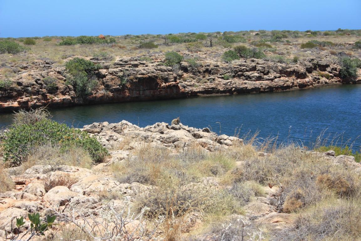
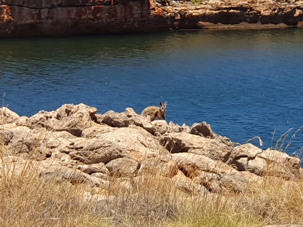
As we walked back along the rock ledge towards the beach we were lucky enough to see three black-footed rock wallabies going about their business on the rock ledge above the water. They never cease to amaze the way they jump over the rocks and around the rocks along the rock ledges. They’re quite timid but happy to show themselves if you keep your distance and don’t make any sudden movements.

Yardie Creek Entrance

The beach consisted of mangroves that gave way to a white sandy beach where the creek washed over the beach’s sand bar. With the kayakers now well and truly up the gorge we were the only one’s there and it really rammed home the isolation and remoteness of this place even though there were plenty of beach camps not too many kilometres away.

Cape Range Bays and Beaches

After Yardie Creek we headed back up the peninsula, stopping at a number of the beach campgrounds along the way.

Osprey Bay
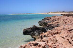
Osprey Bay

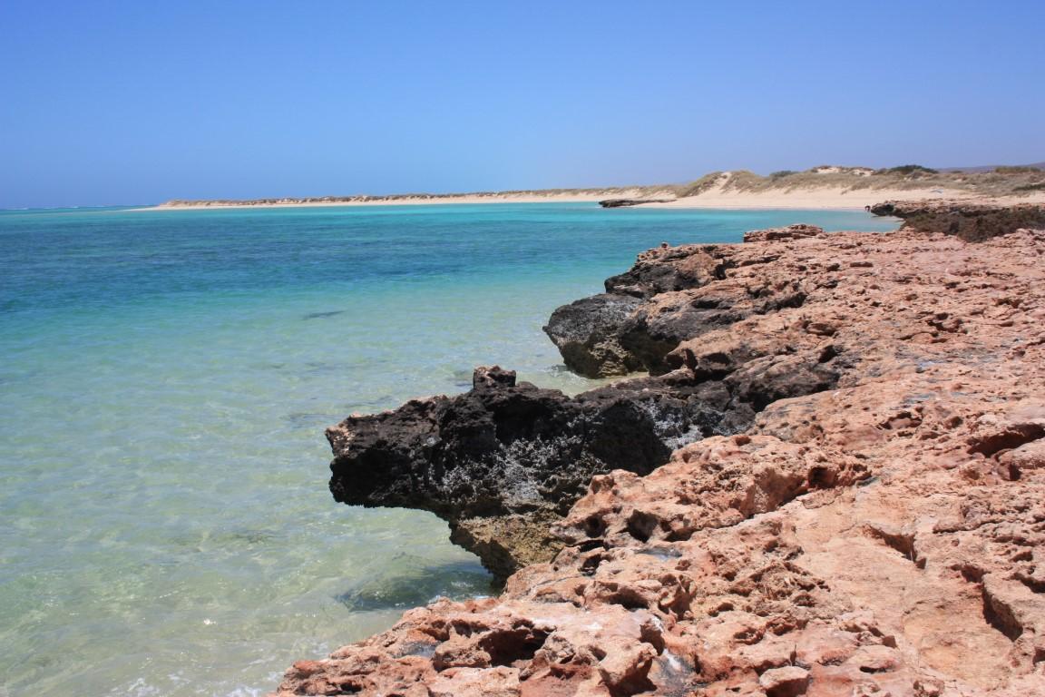
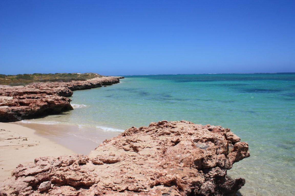
Our first stop was Sandy Bay and nearby Osprey Bay. Sandy Bay was a beautiful, white sand beach that swept around a long arc fronted by crystal clear aquamarine water. Osprey Bay on ther hand was entered by a narrow sandy strip that was bordered on either by rock ledges above the waters surface. The water here was also crystal clear above the shallow sandy bottom until it turned aquamarine where it deepened about 20m from the edge.

Turquoise Bay
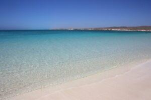
Turquoise Bay

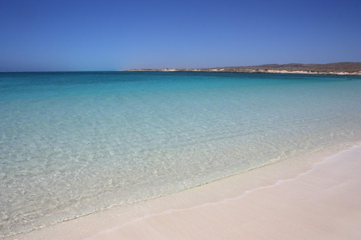
Turquoise Bay was just that… a beautiful long white sandy beach disappering into crystal clear turquoise coloured water. Turquoise Bay and the nearby Oyster Stacks (beach) are very popular snirkelling spots and there were a few people doing just that when we stopped by.
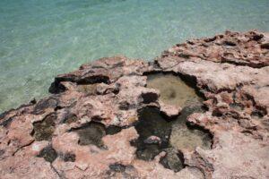
Osprey Bay

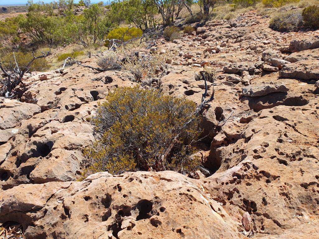
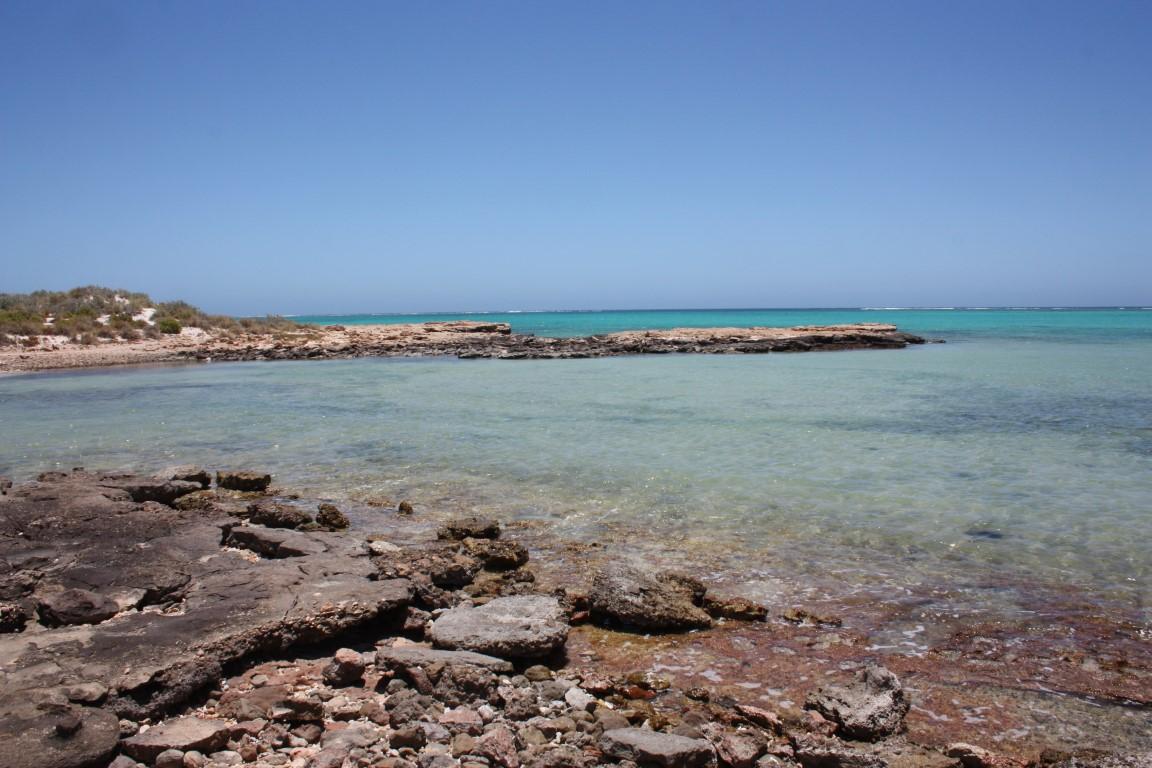
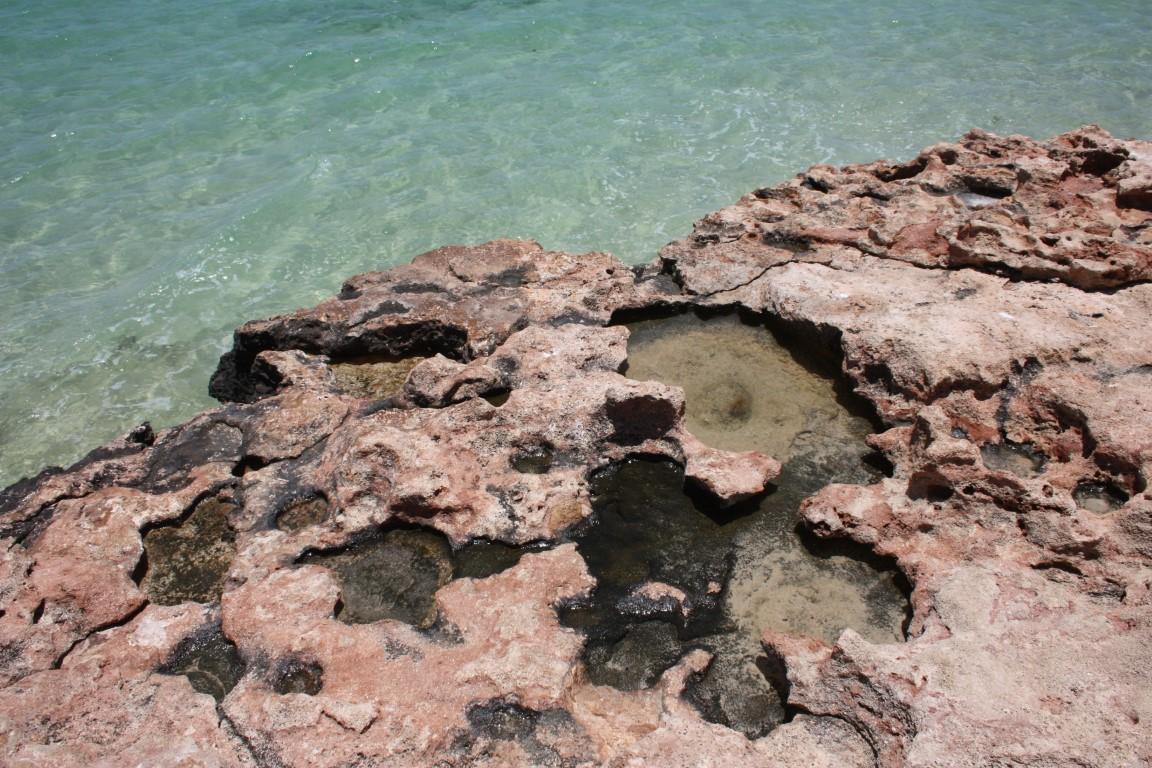
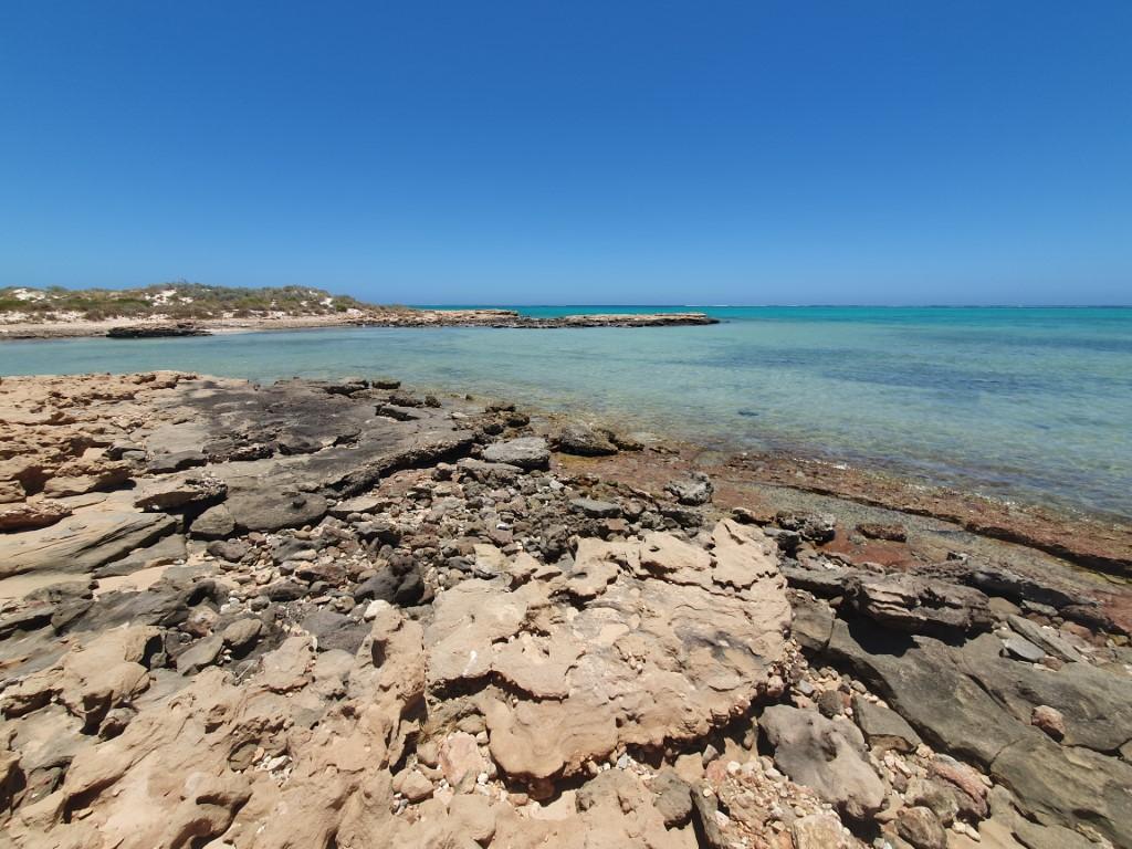
We took a short walk along the rock ledge above the water. It was like a mini lunar landscape, pock-marked with lots of little shallow bowl shaped pools; some filled with sea water. This made it a somewhat unique beach-scape compared to what we’re used to back home on the east coast.

Pilgramunna Beach
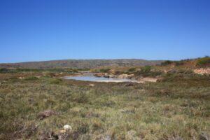
Pilgramunna Beach Creek

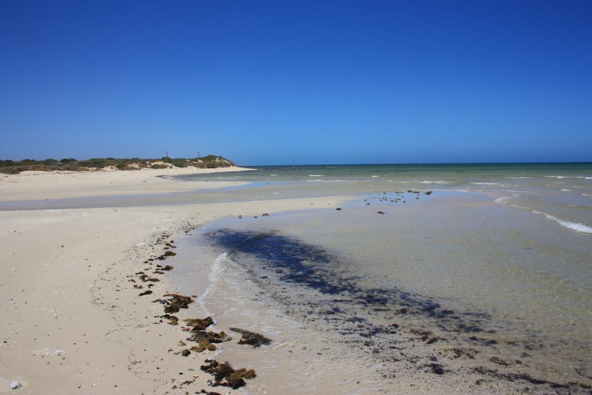
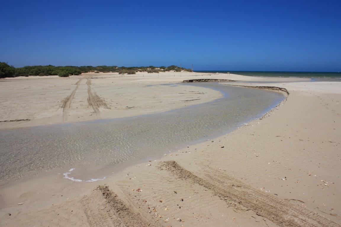
Our last stop was at Pilgramunna Beach, which is the outlet for another small creek system nestled in behind the dunes. Once again we had it all to ourselves, which heightened the sense of isolation you feel even though most of the beaches along Yardie Creek Road have small campgrounds at them.
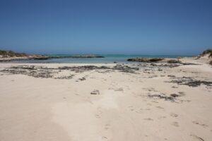
Pilgramunna Beach

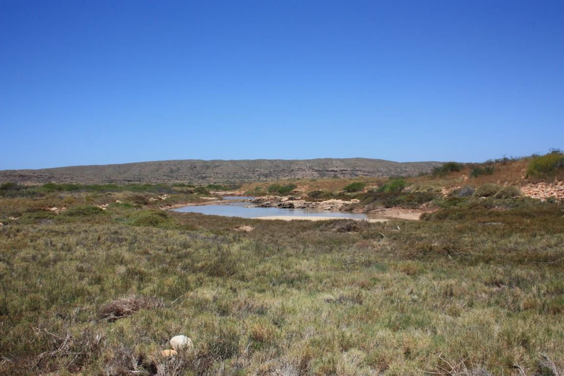
The creek empties out, when full, via a small sandy inlet enlcosed by opposing rocky ledges that look for all the world like a miniature marina. Once again the water was crystal clear and very calming to look at, which belies the dangers of the reef and the wild weather that can hammer this part of the coast.

Nanutarra Roadhouse

Van Site – Nanutarra Roadhouse
All to ourselves – Nanutarra Roadhouse
Bridge over the Ashburton River at Nanutarra
The old bridge over the Ashburton River at Nanutarra
Ashburton River – Nanutarra
All to ourselves – Nanutarra Roadhouse

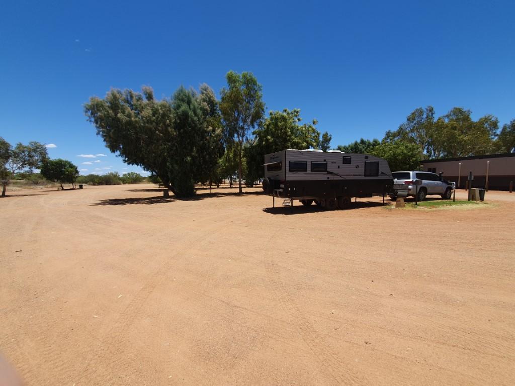
Given that it 380km from Onslow to Exmouth we decided to break the drive up with an overnighter at the Nanutarra Roadhouse, which is an easy 125km from Onslow and situated beside the bridge at Nanutarra. We got there fairly early and had our choice of sites so we snaffled the easiest, flattest site and hooked up to get the air-conditioner on as quickly as possible.

There’s not much at Nanutarra other than the roadhouse and the bridge(s) over the Ashburton River that we visited back at the Old Onslow ruins. So we hunkered down in the cool of the van’s air-conditioning and had a lazy day resting up before the drive to Exmouth the following day.

The old bridge over the Ashburton River at Nanutarra

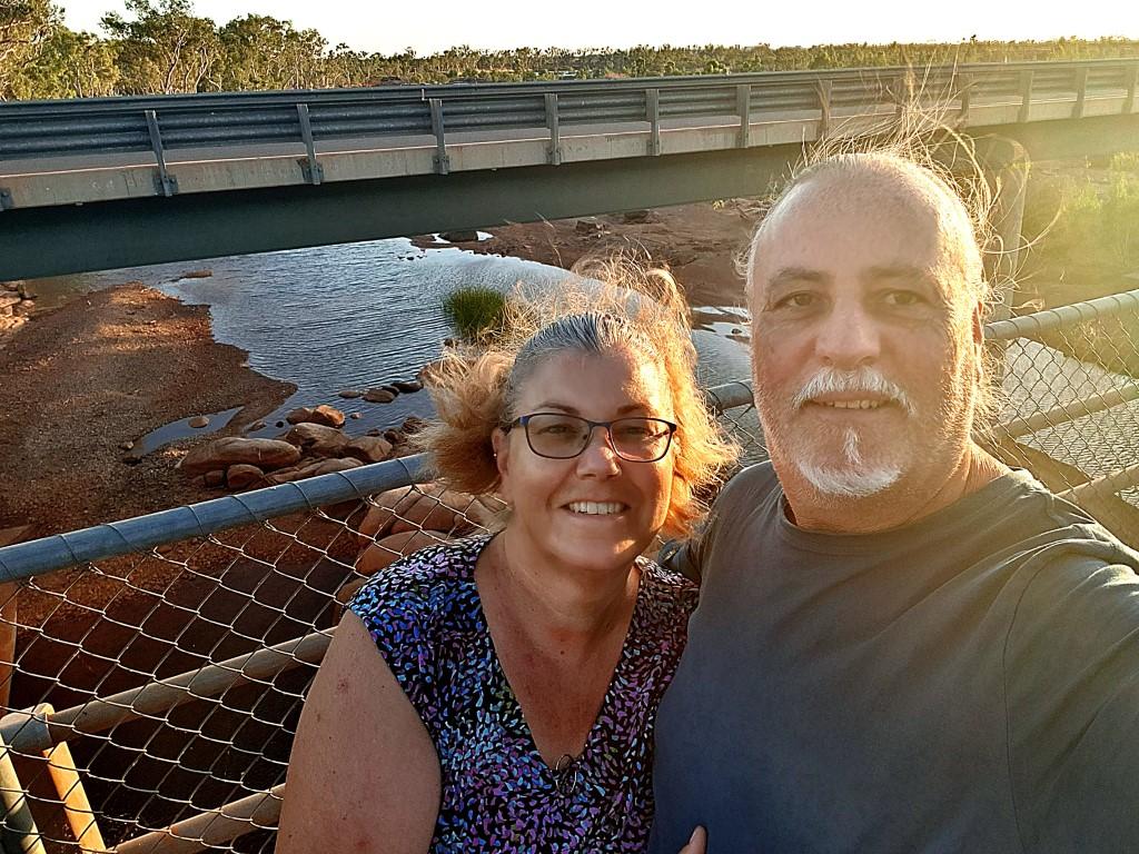
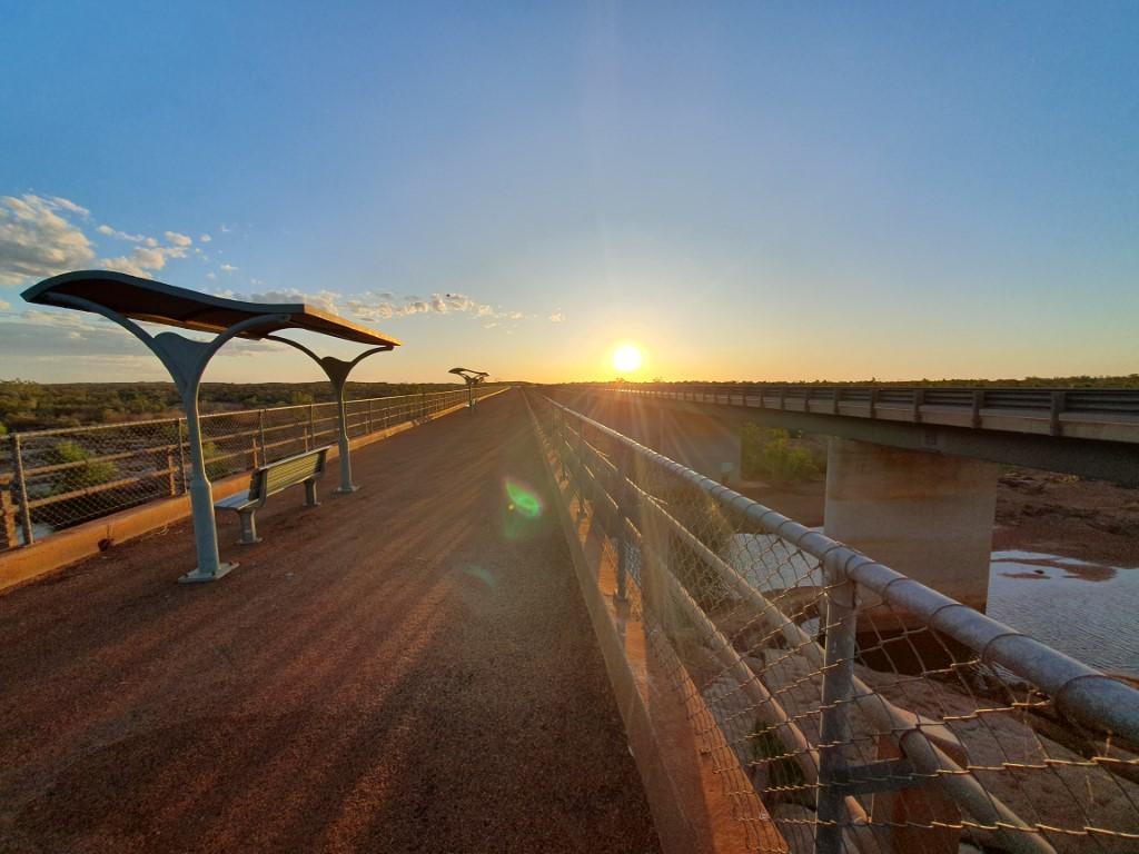
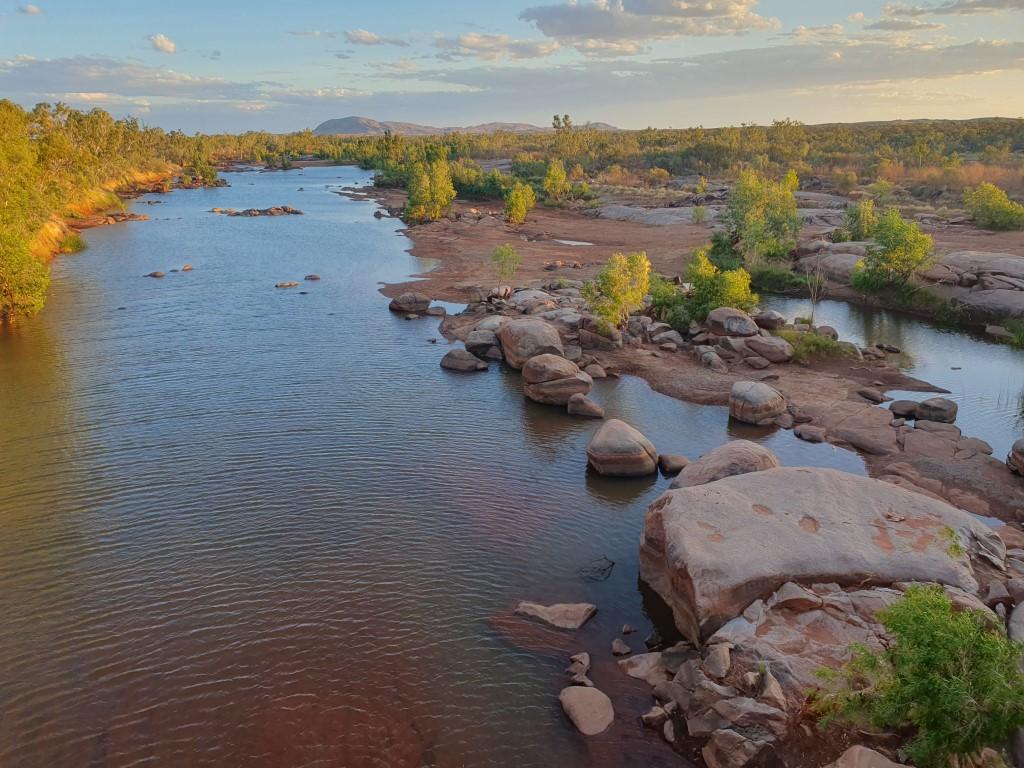
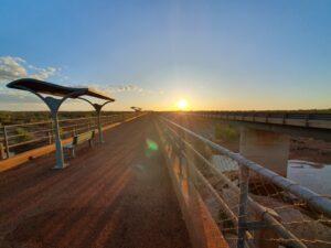
Towards sunset we wandered down to the bridge(s) to watch the sunset before dinner at the roadhouse. Whilst it wasn’t blowing a gale the wind was strong and constant but the views were stunning. I say bridge(s) because there is an old and new bridge at Nanutarra. The old traffic bridge has been retained as a viewing platform over the Ashburton River and has a cute little shade structure with a seat beneath it for those who want to just sit and take in the views.

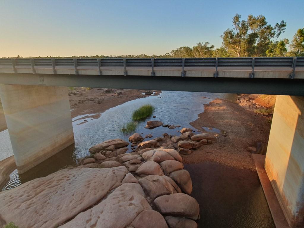
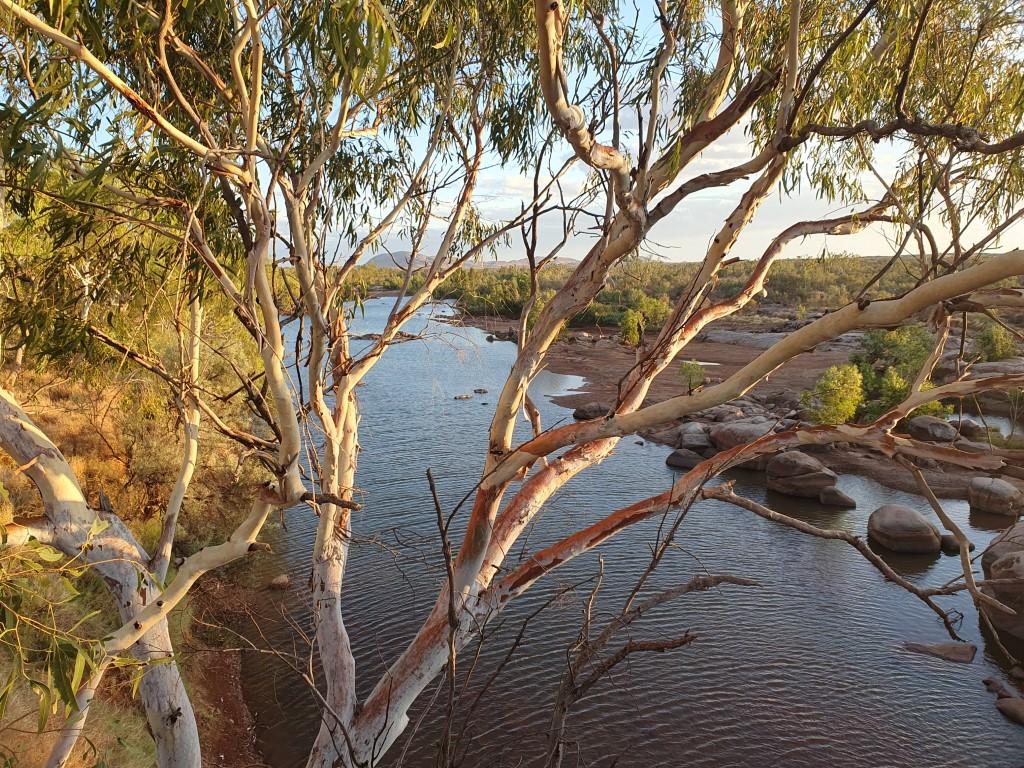
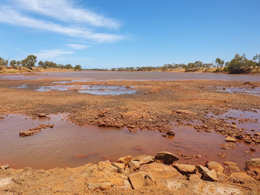
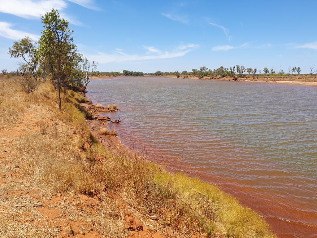
Whilst the river itself is fairly shallow it did have a reasonable amount of water in it. The steep bank on the roadhouse side was tree-lined and the bank on shallow side was lined with boulders sitting on a red sand base. With the bridge being quite high we were treated to a stunning landscape especially with the golden light of the setting sun.

Ashburton River – Nanutarra

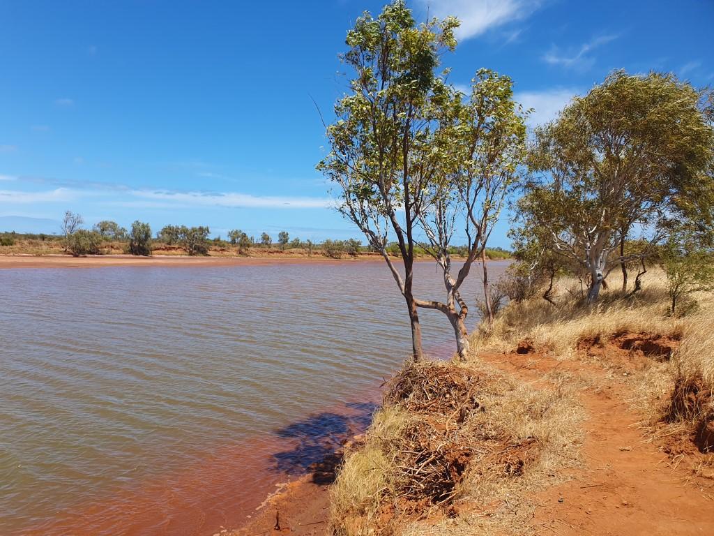
A ghost gum on the roadhouse side provided a photo reminiscent of an Albert Namatjira lanscape painting… albeit nowhere near the Northern Territory. The wind seemed quite fitting as we stood there on the bridge and we braved it until the sun dipped over the horizon. Then back to the roadhouse for some roadhouse cuisine before a quiet night to rest up for the 250km drive to Exmouth the next day.

Onslow

Onslow Van Site View
Onslow van site
Rosella bud
Rosella bush
Derelict hose locker and jetty
Boardwalk panorama
Loading salt onto bulk carrier
Onslow Community Garden
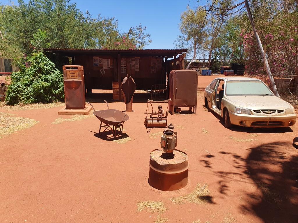
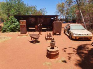
Onslow Machinery Relics

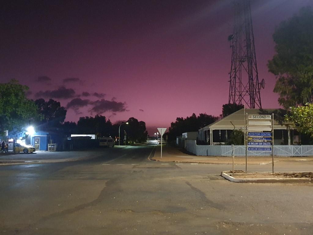
A long tow of 353km from Point Samson to Onslow. Thankfully it went smoothly and reasonably quickly. We decided to bypass Karatha based on other peoples recommendation. Despite being a larger town it is off the highway and we weren’t in any need of the facilities offered in larger towns.

Onslow Machinery Relics

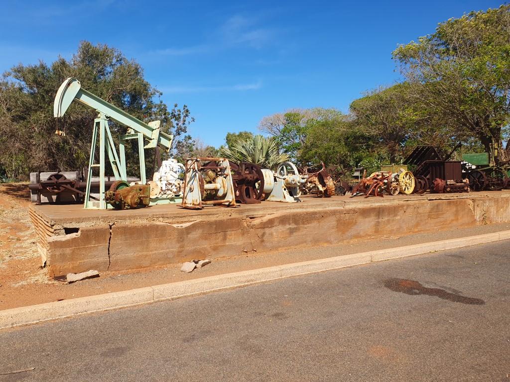
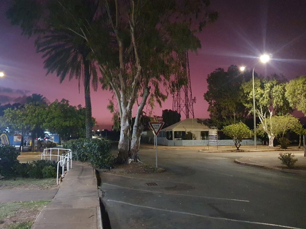
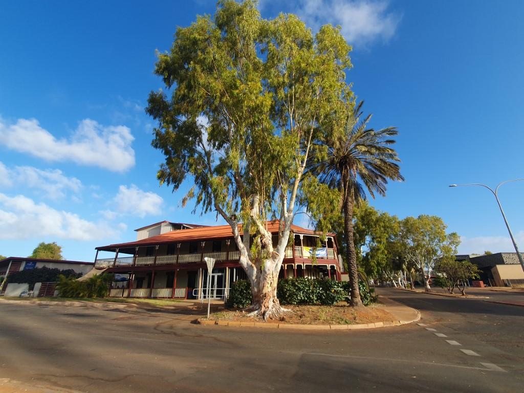
Onslow turned out to be a little bigger than Point Samson with one hotel, one resort, a decent supermarket with small hardware store and a couple of fuel station. The information centre also had a small museum and an array of old machinery on display.

Onslow van site

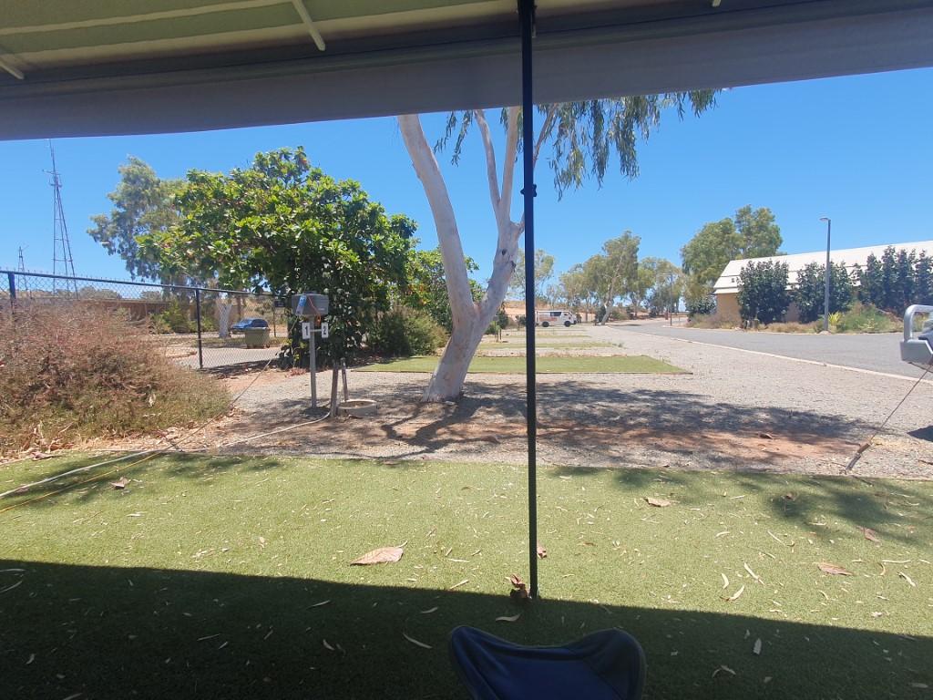
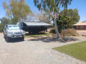
Onslow Ocean View Caravan Park is located at the end of the main street, next to the Memorial Park and has full beach frontage. The park itself is immaculate and well laid out with gravel sites, each with an artificial grass area to sit under your awning. It was quite windy most of the time we were there so we were glad that our site was in a back corner where we got a bit more shelter.

Rosella bud

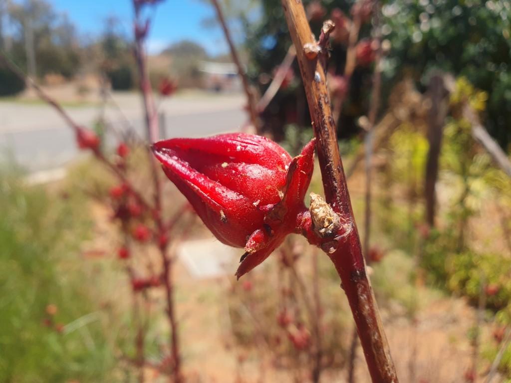
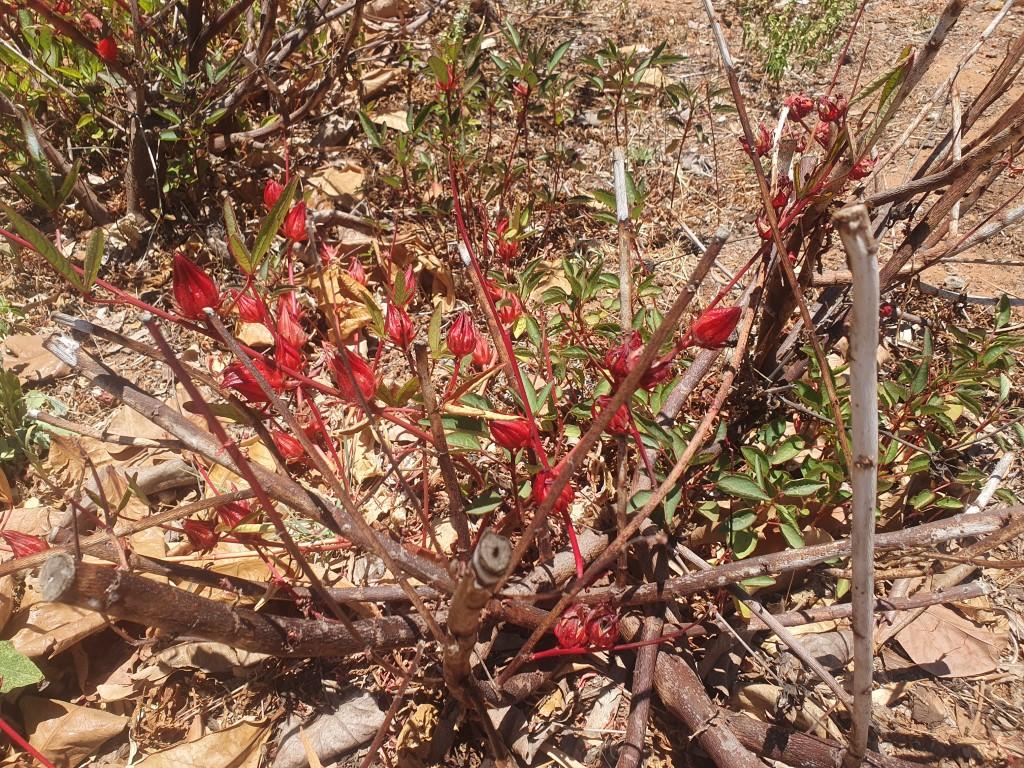
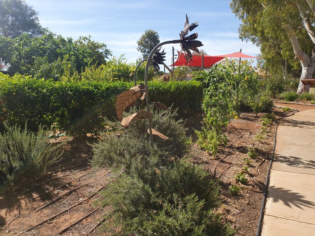
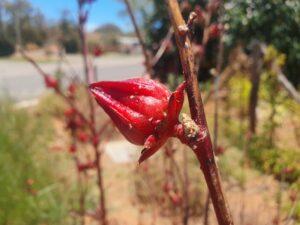
The park has a small herb garden that is being regenerated where you can pick some basil, snake beans or mini eggplants if you wish. The garden also had some roselle bushes so we picked a dozen or so of the flower buds to make a rosella infusion. Two buds in a mug of boiling water results in a tangy, tart red infusion that’s quite refreshing and a change from tea.

Onslow Memorial Park

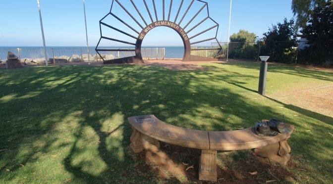
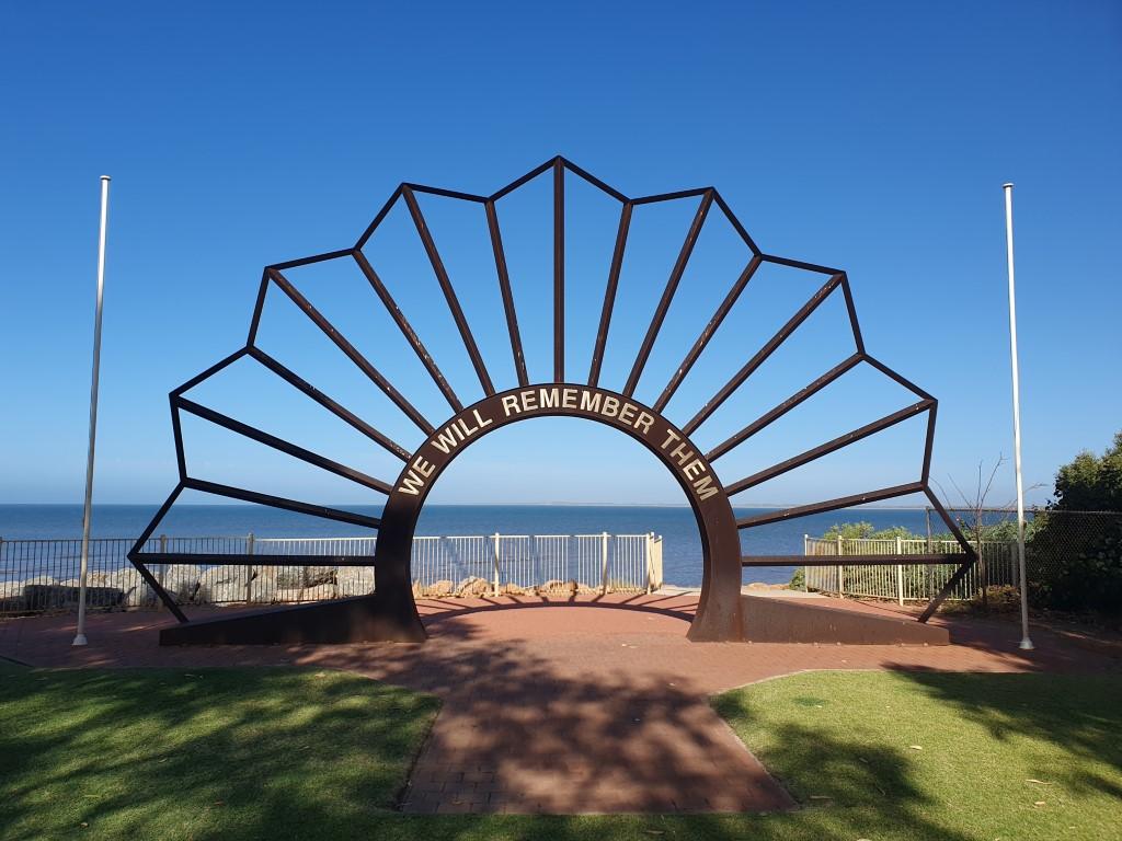
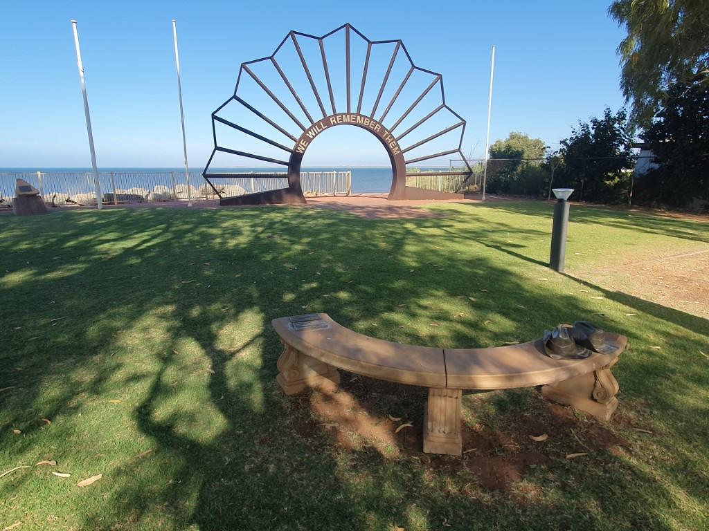
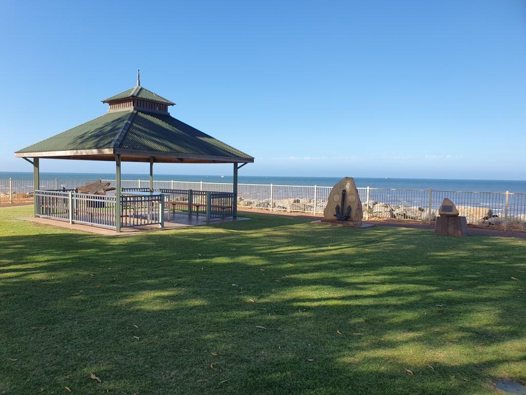
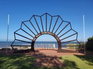
Onslow Memorial Park is located next to the caravan park and is noteworthy for the rising sun archway that is situated so the sun rises and sets directly in the centre of it. There is also a very tasteful stone bench near it that has a bronze sculpture of a pair of army boots sitting on it.

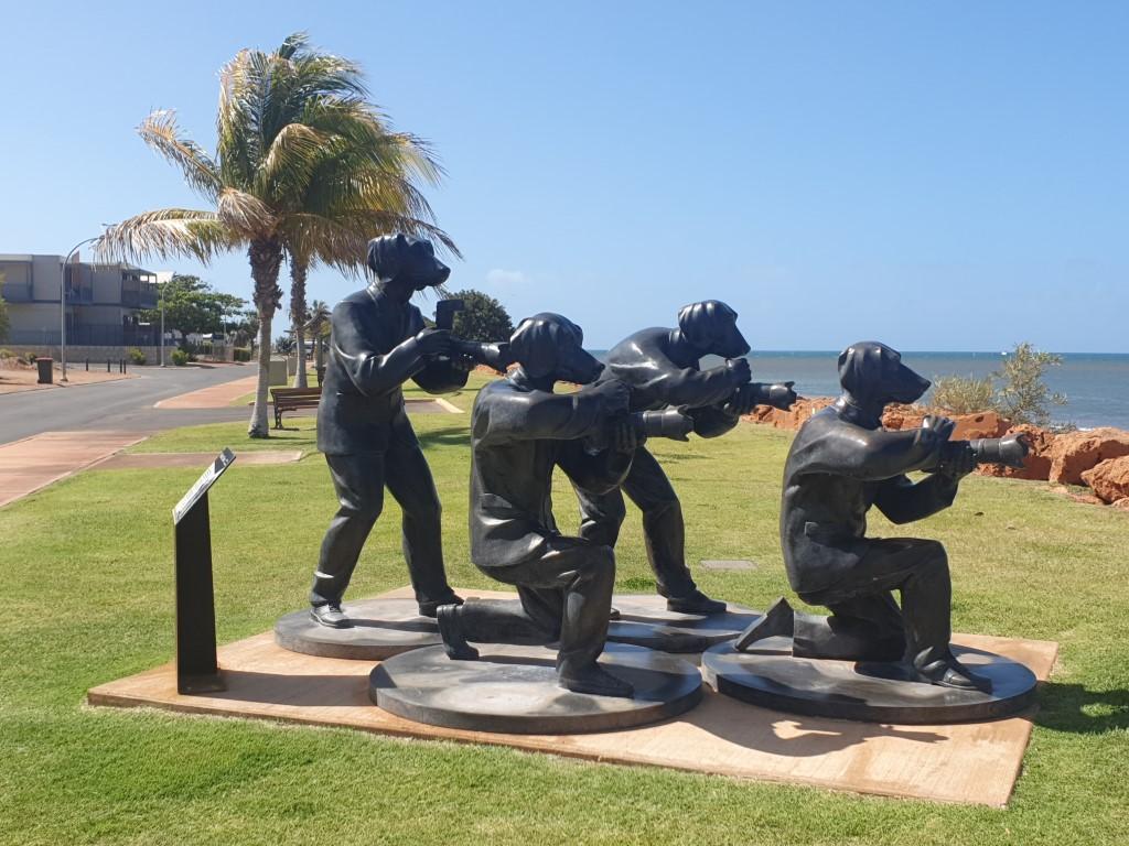
Paparazzi Dogs capturing The Stairway To The Moon

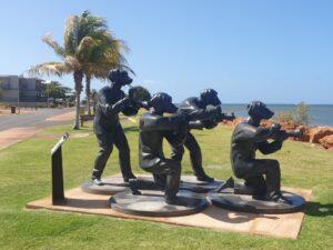
There are sculptures along the foreshore of the beach with the most striking of them being the ‘Paparazzi Dogs’. Onslow is another place in Western Australia where you can view the Staircase To The Moon. The Paparazzi Dogs represent the media pack vying to get the best photograph of it.

Derelict hose locker and jetty

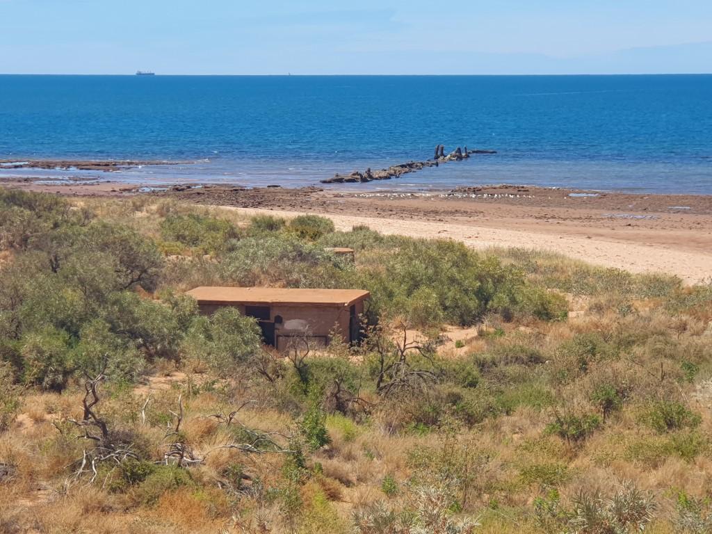
The main street of Onslow is set back a short distance from the waters edge and you can follow it from one end of town to the caravan park and up to the Memorial Park. From the Memorial Park you can walk along a boardwalk for about 1.5kms, which takes you over the dunes, past a derelict World War 2 Hose Locker and jety and down to the newer salt loading jetty.

Loading salt onto bulk carrier

Onslow has a salt producing facility (Shark Bay Salt) that exports 300 million tonnes of salt per year from Onslow. The salt loading jetty is very similar to the iron ore loading jetties in Port Hedland and Point Samson. The ships are towed in by tug boats and the salt is loaded directly into them via a conveyor belt that runs along the jetty. It’s quite staggering to think how much salt is used around the world since there a quite a few salt fields in operation between Port Hedland and Onslow . And each of the salt fields we saw contain hills of salt that you would struggle to walk up…

We had a bit of an attack of the ‘lazies’ whilst we were in Onslow. Settling in for seven nights we mainly stayed around Onslow town except for a half-day trip to ‘Old Onslow‘, another derelict township that was the original site for the town.

Beadon Bay Hotel Steak Sandwich

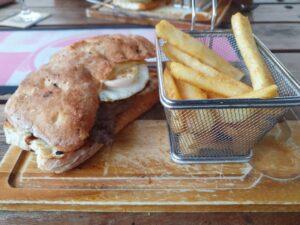
We did two pub nights at the Beadon Bay Hotel because the steak sandwiches were both cheap and fully loaded with betroot, egg and all the food groups! Speaking of which… if you accept that beer is a food group (who doesn’t?)… we were utterly flabbergasted to see a woman at one of the tables near us drinking a pint (NSW Schooner) of beer through a straw… Wonders will never cease!

Ashburton River Crossing
Ashburton River
Ashburton River
Ashburton River
Old Onslow Town Site
Bird Bush Flower
Bird Bush
Birdbush
Old Onslow Town Site
Old Onslow Police Station and Cells
Old Onslow Gaol Cells
Old Onslow Police Station
Old Onslow Police Station and Cells
Old Onslow Gaol Cells
Old Onslow Derelict Machinery
Ashburton River Crossing

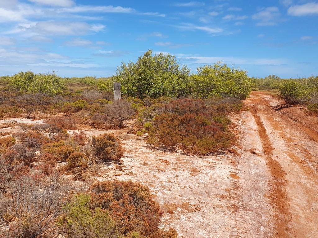
Our only sightseeing trip in Onslow was to take a drive out to the derelict ruins of Old Onslow, the original town site. It’s a 40km dirt road drive even though it’s only about 15km as the crow flies. The drive takes you past termite mounds and over the semi-dry Ashburton River. The crossing is a concrete causeway with shallow pools either side until you travel a bit further down towards the mouth where it has constant depth and tidal flow.

Ashburton River

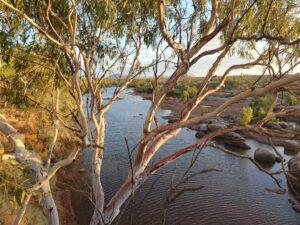
The river is quite picturesque regardless of whether it is a dry section or deep section because of the arid landscape and the big deep blue sky above it. The deeper section looks like it would be a decent fishing spot and there are free camp sites dotted along it that would be brilliant for a lazy weekend in a camper trailer. The local fishermen reckon they still see the odd saltwater crocodile but that may also be a tall tale to keep people away from their fishing spots.

Bird Bush Flower

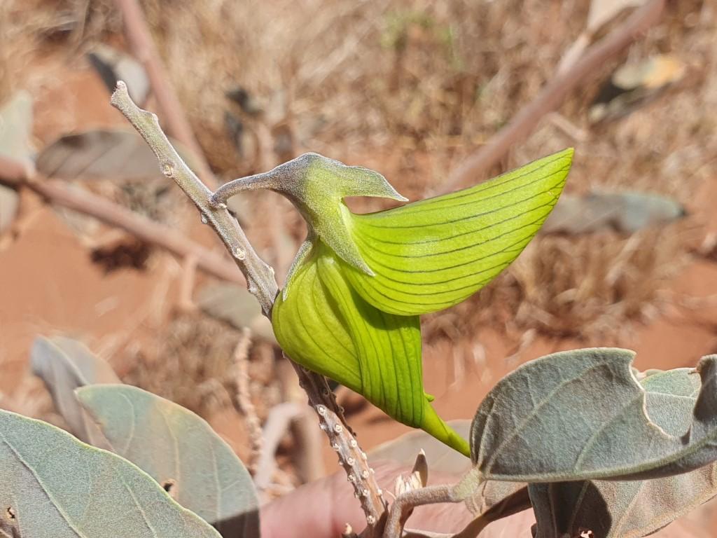
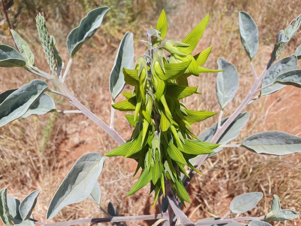
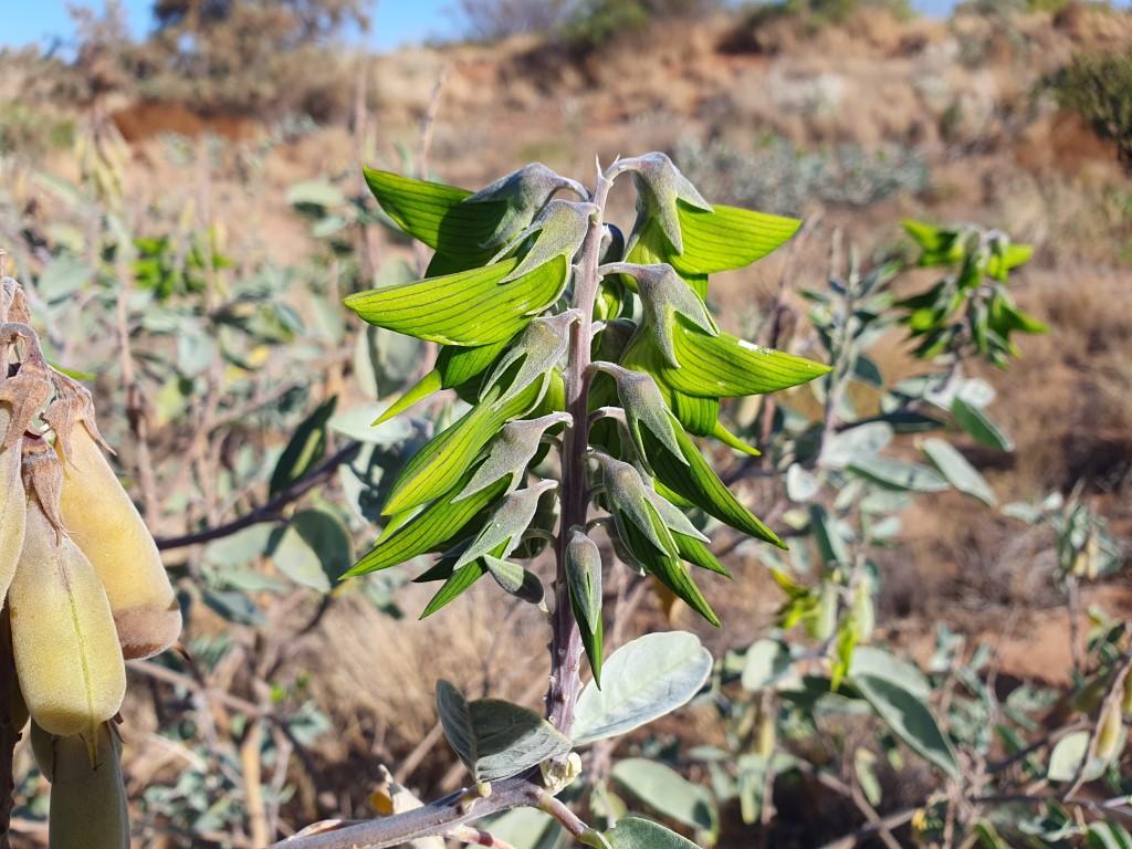
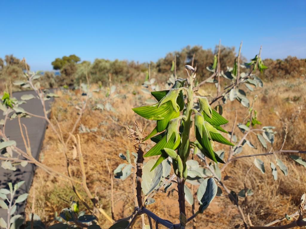
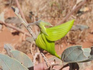
The road is a graded dirt road that has the usual corrugations and lumpy bits but nothing that requires any serious 4WD skills. It could be done in a 2WD car as long as you’re careful and dont mind getting shaken around. One distinctive feature of the area, and this applies to new Onslow as well, is the ever-present Green Birdbush (or Birdflower). It is a stunningly beautiful, soft and delicate green flower in the shape of a bird that grows in bunches around a central stem. It’s a quirky and fascinating plant that grows wild in the region. Indigenous people used the flowers and bark of the bush to treat eye infections and swelling of limbs.

Old Onslow Police Station

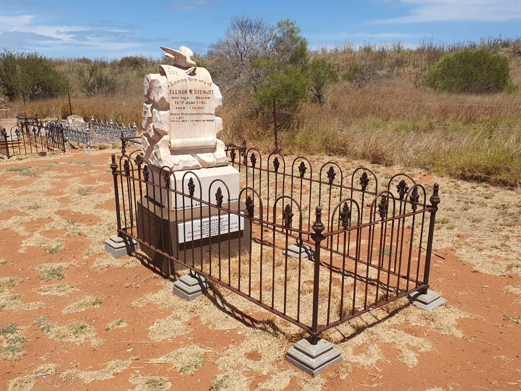
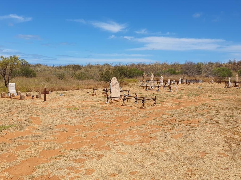
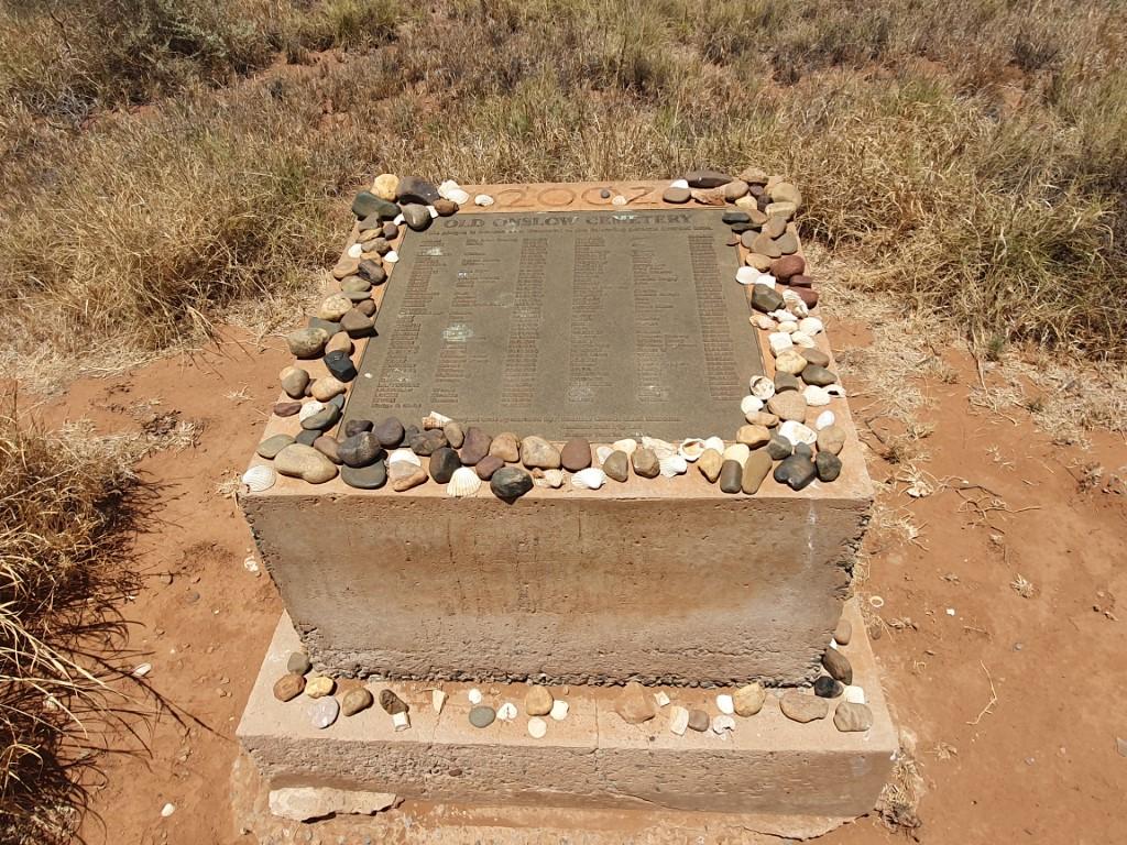
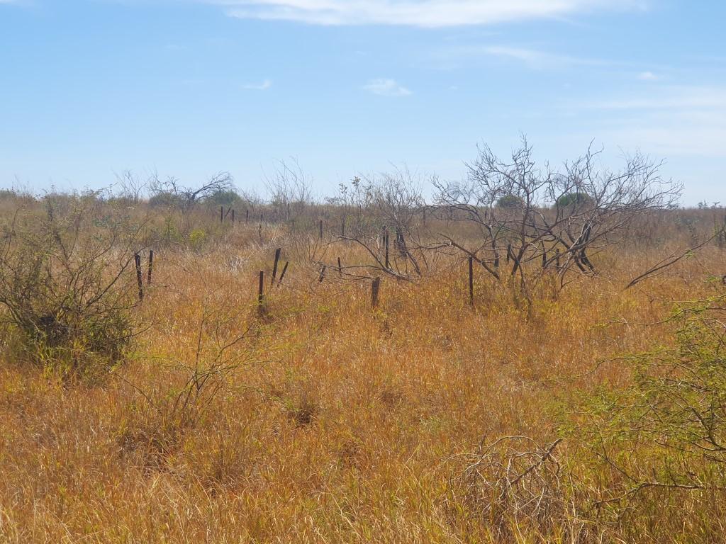
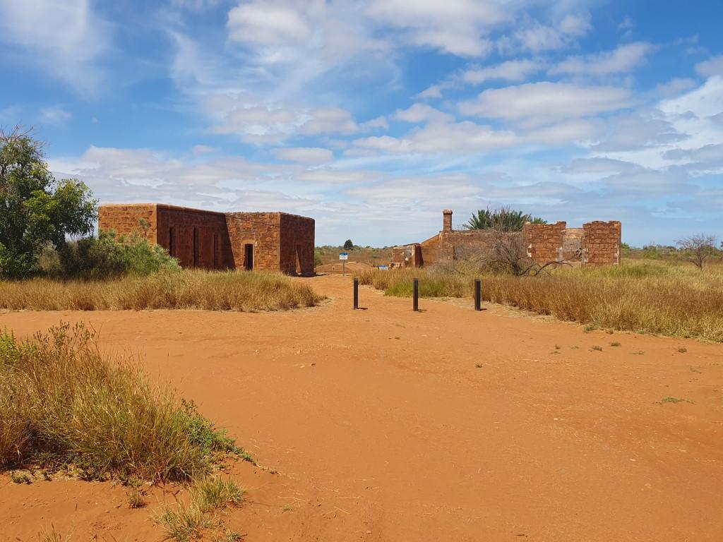
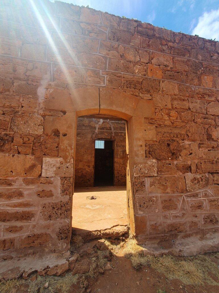
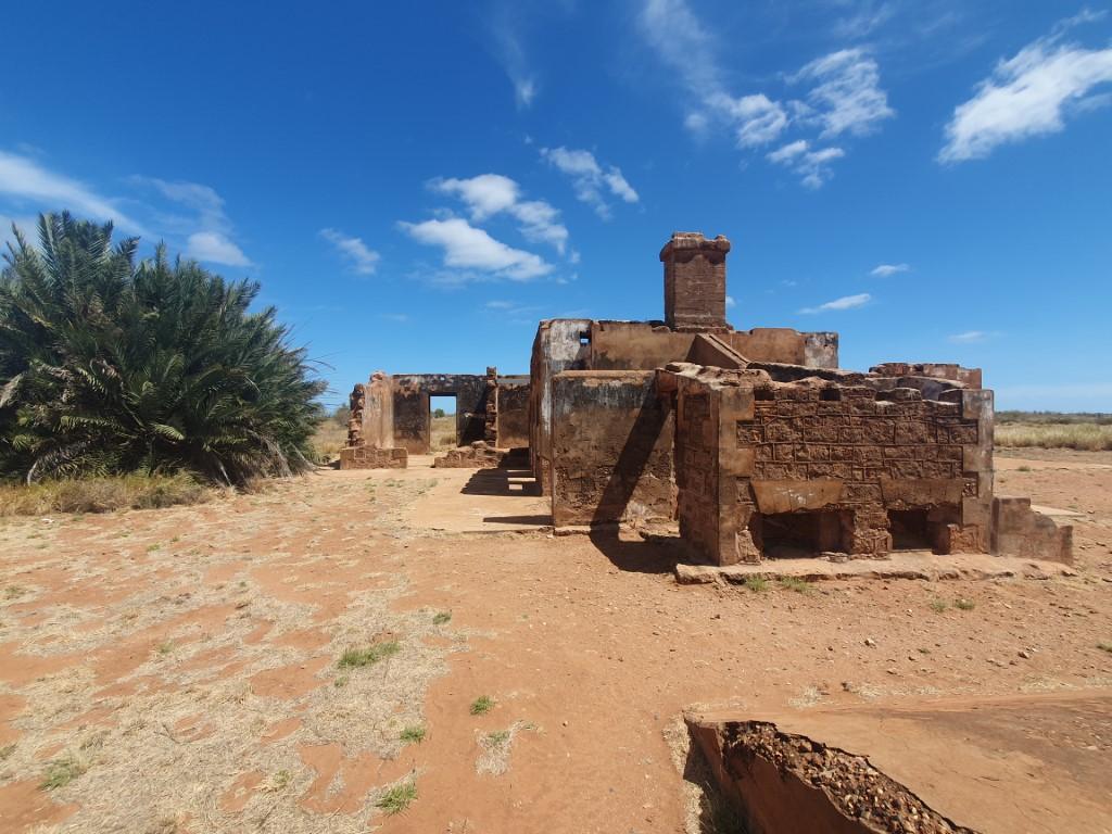
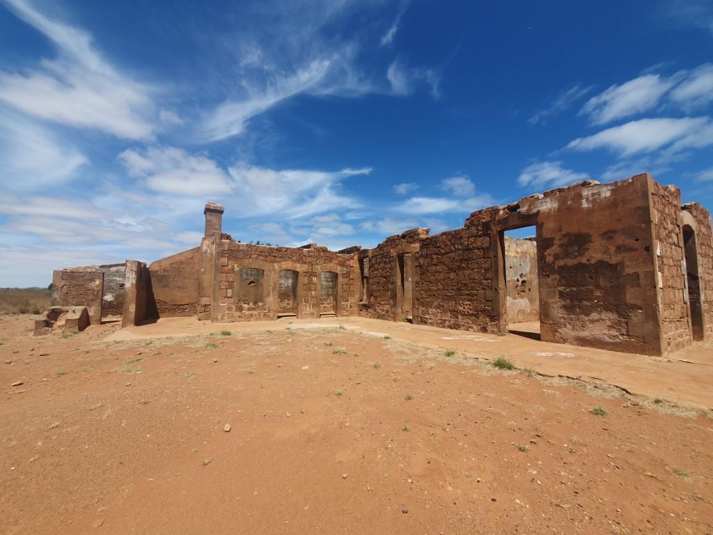
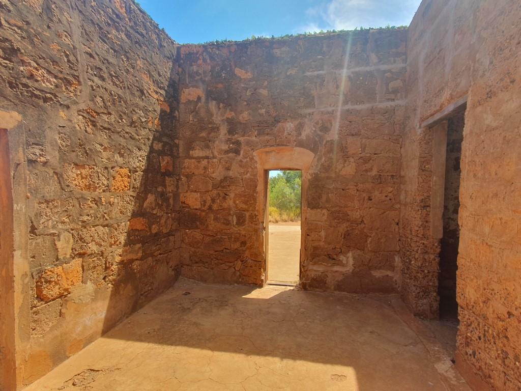
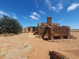
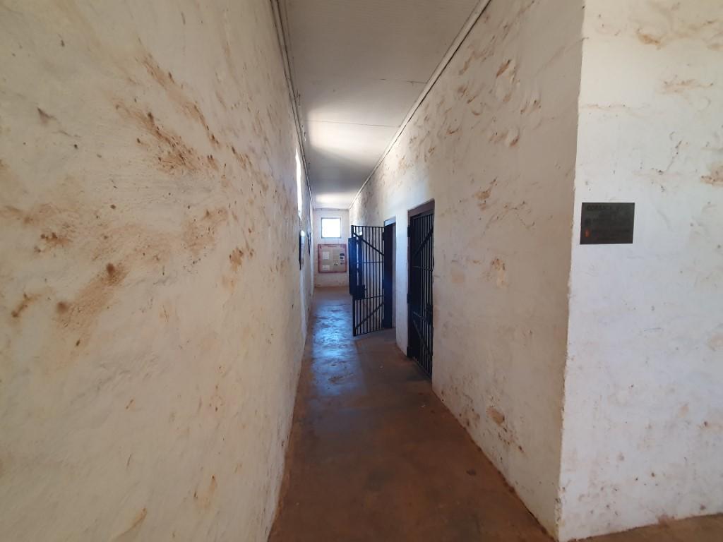
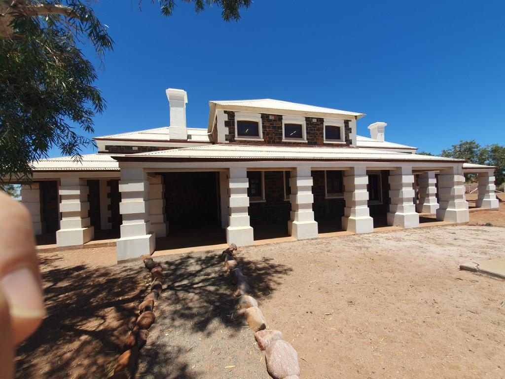
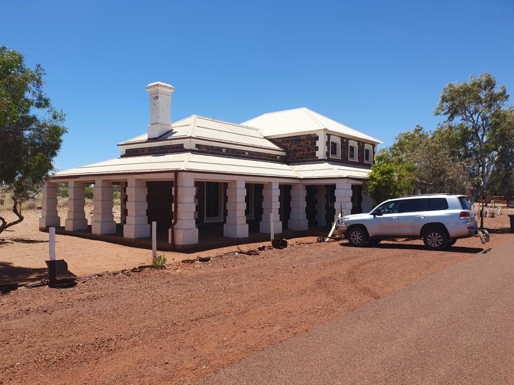
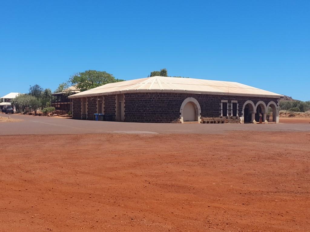
There is not much left of the old town save for the ruins of the Police Station and Gaol Cells. The whole site is marked out with number signs describing what was there and you can often see the odd bit of rusting machinery or what’s left of the fence around the tennis courts. The old Community Hall was dismantled some while back, transported to new Onslow and re-constructed in the main street where it serves as the Information Office and museum.

Old Onslow Jetty ruins

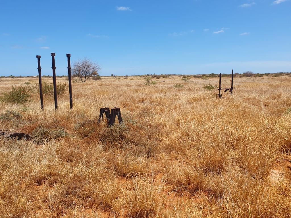
The rotting pylons of the original jetty still poke up out of the ground. It must have been a long jetty because it looked to us to be a long way from any water. Old Onslow was abandoned due to cyclone damage so perhaps the river channel has altered as well.

Old Onslow Derelict Machinery

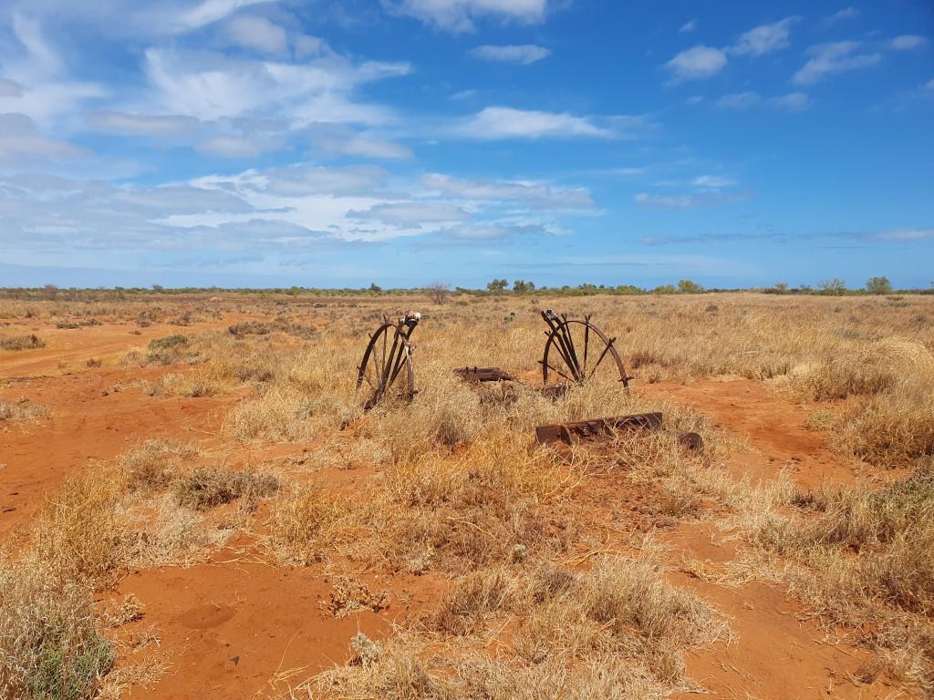
Old Onslow gets a bit of a bum wrap in a lot of the traveller reviews that your read but we think that’s a bit unfair. The whole site is dotted with numbered signs that correspond to a map that gives information about the town as it was. If you take the time then your mind builds the picture for you and it is a good way to spend a couple of hours. Too many people seem to want force-fed, Disneyland experiences these days where everything is laid out without the need to think or work to hard.

Onslow Gas Plant

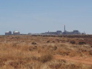
As you head towards the west side of the site you can see the massive gas plant in the distance with it holding tanks and tall flare tower burning off excess gas… If you look around in Onslow you can see that there is a fair bit industry in the region from the salt and gas export facilities. Despite the heat and flies it was well worth the drive to see a bit more hidden history from tougher times…

Point Samson

Van Site at Night
Turtle Scultpure
Whale Sculpture
Fish Sculpture
Cocktail Hour – Point Samson Tavern
Sturt Desert Pea – Point Samson
Historic Jetty – Point Samson
Mangroves at the Boat Harbour
Point Samson Boat Harbour
Van Site – Point Samson
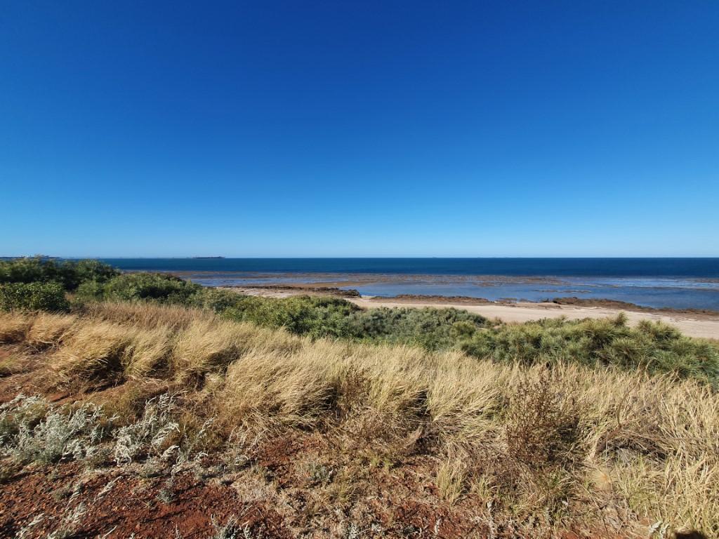
Point Samson Coastline
Point Samson – Coastline
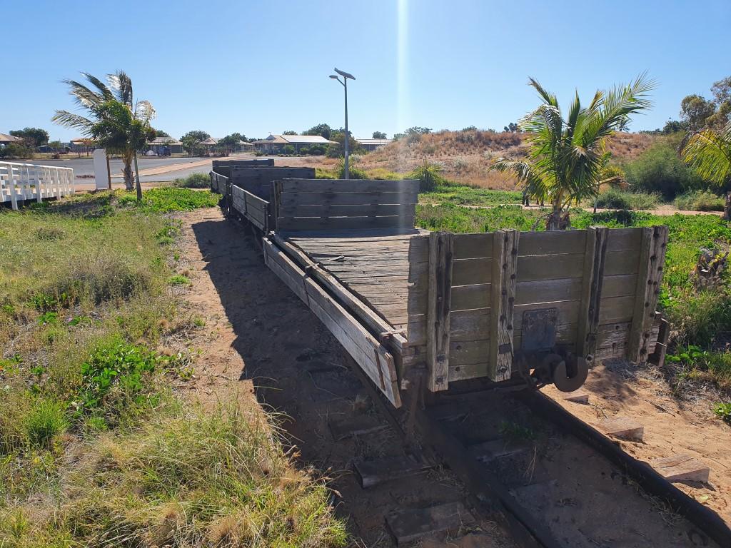
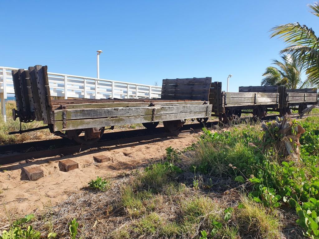
Historic Rail Carts – Point Samson
Historic Jetty – Point Samson

After the industrial landscape of Port Hedland we continued south to Point Samson, a small township on the coast with a tavern, a general store, a small marina and some light industry. It is a holiday/getaway township close to Wickham and Roebourne.

Approaching and driving through Roebourne caused us a little bit of anxiety as a retired police officer we met in Lake Argyle said it was another place with indigenous issues and kids were known to throw rocks at passing cars. Thankfully the town was very quiet as we passed through.

Van Site – Point Samson

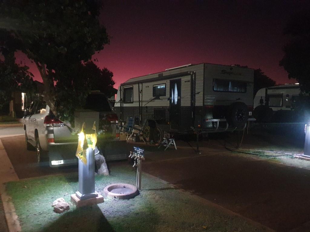
Our campsite was The Cove Holiday Village, one of two van parks in Point Samson. This park is one of the cleanest, newest looking parks we’ve stayed at. Sites are lined up in rows but are quite spacious with concrete pads, gravel and grass.

Historic Jetty – Point Samson

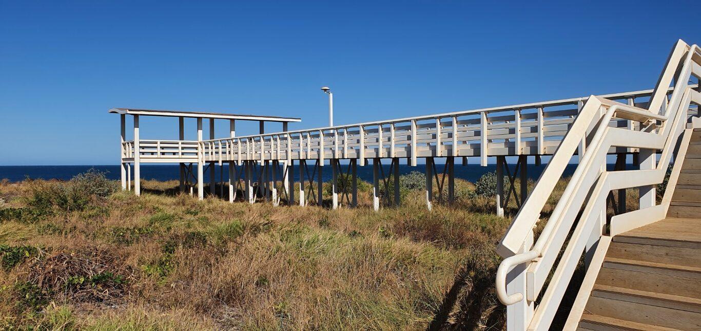
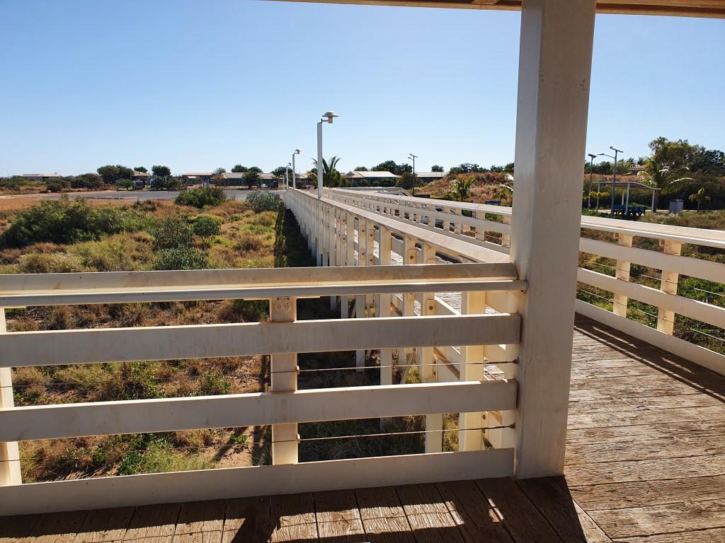
The park was only a short walk to the tavern, shop and the historic jetty, which looks like it was rebuilt at some point back from the water. The historic jetty looks out over the beach to the ocean and has a viewing platform at the end with a free binocular mounted for public use.

Whale Sculpture

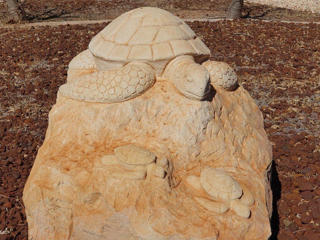
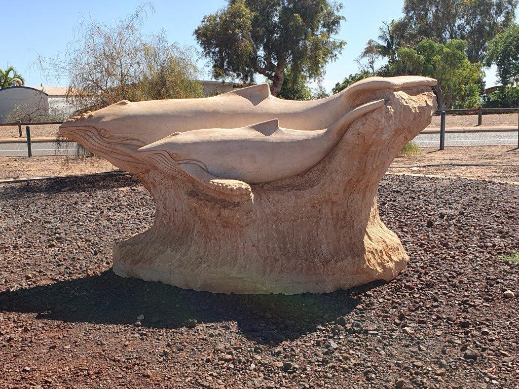
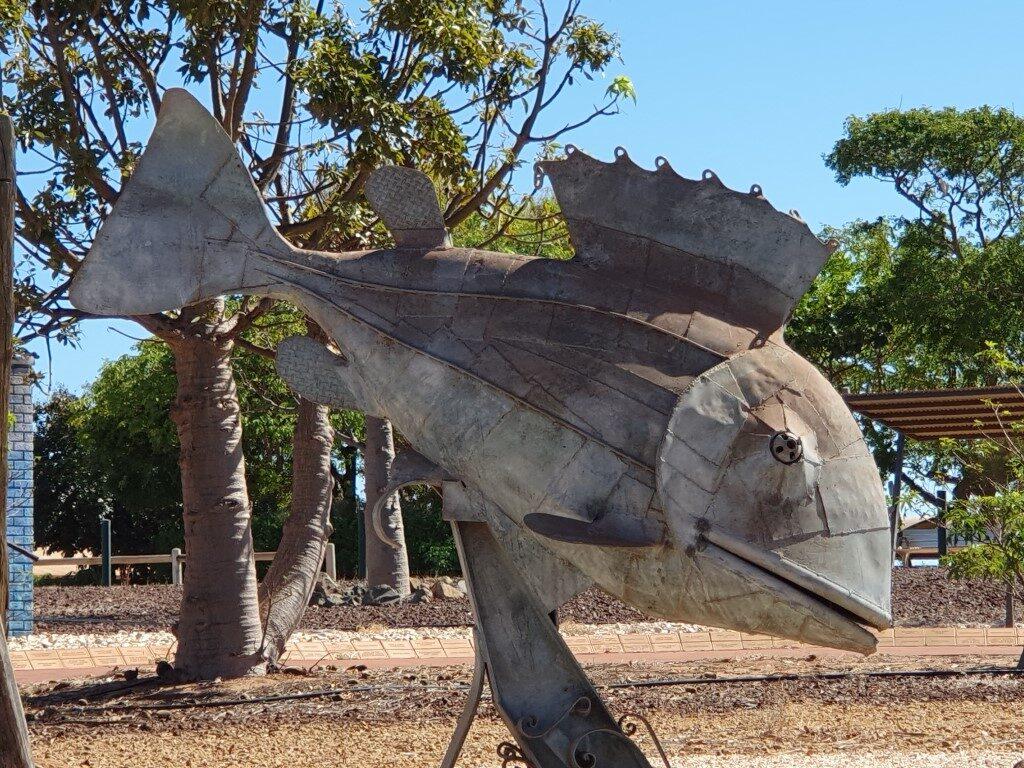
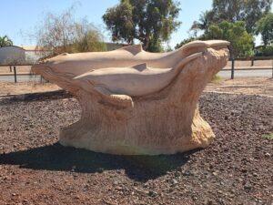
There is a small park area behind the tavern with some beautiful rock sculptures based on the sea life along the coast including whales, a turtle and fish reinforcing the township as a recreational destination as opposed to a nearby Wickham, which is a service center and residential town.

The tides at Point Samson are stil quite dramatic as are the sunsets. We spent a couple of evenings on the tavern verandah looking out over the bay area enjoying the happy hour and watching the sky change colour over dinner.

Point Samson Boat Harbour

We thought we were in for another fishing bonanza because everywhere we looked there were school fish being chased by predator fish and being dive bombed by seagulls. We even saw this at Cossack, a restored historical ghost town nearby. Alas, after getting no bites off the beach, losing a rig in the creek and getting no bites with a soft lure in the creek we decided that fresh fish was not on the menu at Point Samson.

Cocktail Hour – Point Samson Tavern

The Point Samson Tavern is the focal point of the township and do $10 cocktails between 2:00 and 3:00, a happy hour hour between 5:00 and 6:00 and pretty good pub meals. Friday night is ‘Chase The Ace‘ night with extended happy hour. Despite the small size of Point Samson the tavern seems to attract a good crowd from Wickham especially on Friday afternoon.

Sturt Desert Pea – Point Samson

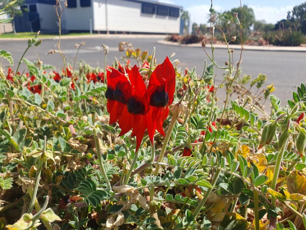
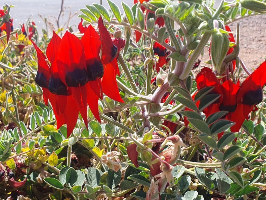
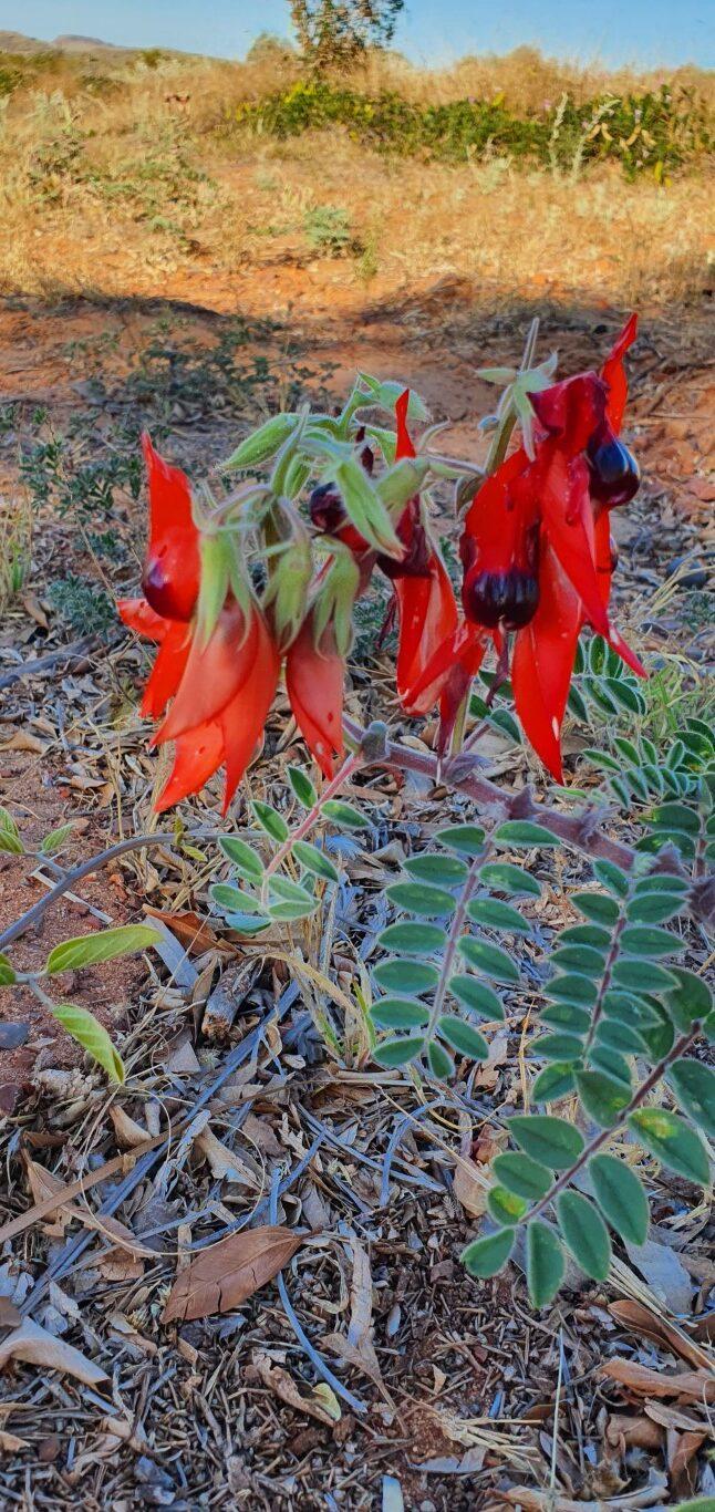
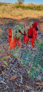
We also saw some Sturt Desert Peas growing wild along one of the Point Samson backstreets. Despite being the floral emblem of South Australia, here in Western Australia was the only time we had seen them growing wild. The only others we had seen were some that had been planted on the streets of Alice Springs back in the Northern Territory.

After the isolation of Barn Hill Station and Eighty Mile Beach, and the ‘industrialness’ of Port Hedland it was nice to be back in a more normal town setting abeit a very small one.

Tram and Telegraph Station – Cossack
Tram Line – Cossack
Historic Store – Cossack
Behind Cafe – Cossack
Cafe Garden – Cossack
Jail Cells – Cossack
Courthouse – Cossack
Customs House & Bond Store – Cossack
Settlers Beach – Cossack
Rusted Rock – Cossack
Jarman Island – Cossack
Reader Head Lookout – Cossack
Tram Station/School – Cossack
Tien Tsin Lookout – Cossack

Cossack is an historic ghost town about 30km from Point Samson. It is the original home of the pearling industry until a cyclone wiped out the fleet and the industry was moved to Broome.

Customs House & Bond Store – Cossack

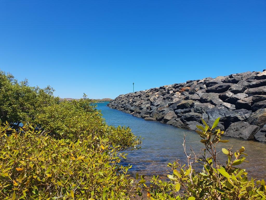
The town itself is situated at the mouth of the Harding River, which empties into Butcher’s Inlet. There is a very pretty wharf area across from the Customs House & Bond Store where the water is very blue and also filled with bait fish being chased by bigger fish and gulls.

Tram Station/School – Cossack

We drove up to the Tien Tsin Lookout (Tien Tsin was the original name of the town). The lookout provides a commanding view of the area and inlet. From there you could see the entire town and the surrounding scrubby landscape.

Courthouse – Cossack

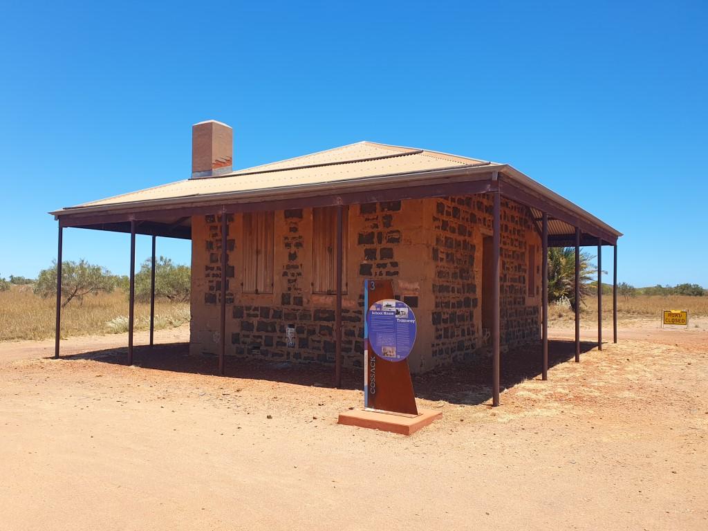
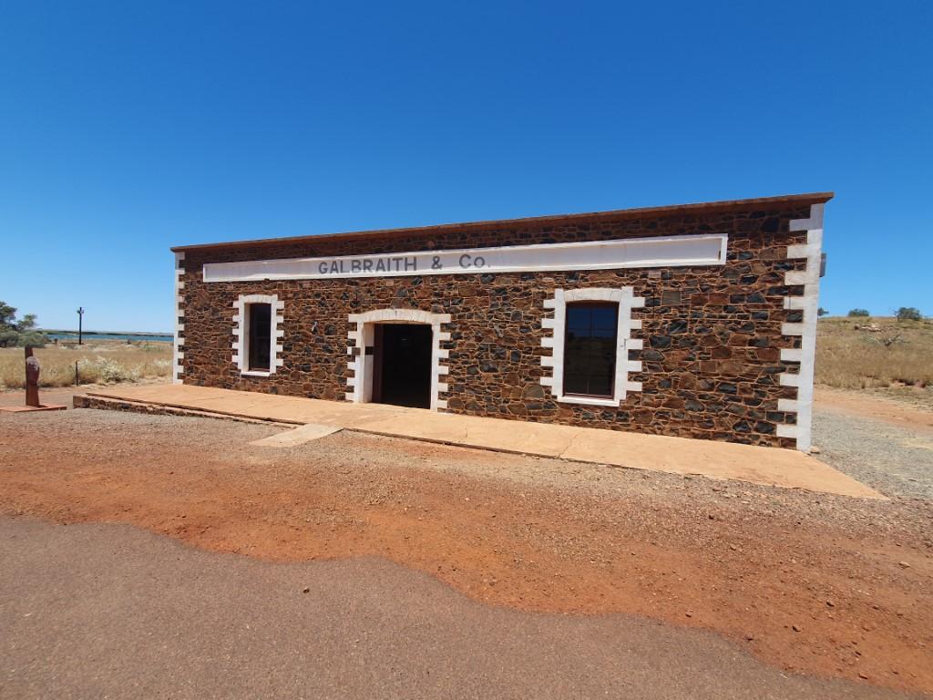
The standout features are the courthouse, which contains a small museum, the Customs House & Bond Store, the school,/tram, post and telegraph station, Galbraith’s Store, the Police Station and Bakehouse. Unfortunately for us the coffee shop wasn’t open while we there but it was still well worth the drive to be able to wander around the various buildings, which have been extremely well restored and preserved.

The Courthouse/museum was sparse in terms of content but had enough items of interest to paint a picture of the early days of the town, especially it’s beginnings with pearling. The pearling industry meant that there was a sizable Chinese community at the time and there is Chinese cemetery located near Reader Head lookout that is still in good repair.

Settlers Beach – Cossack

Reader Head lookout was a good place to scout the beaches for a fishing spot and we located a nice beach nearby that had a long strip of sand and water that had a reasonable depth at casting distance. Alas it turn out to be so but the sand was the interesting feature here. The sand up to the tide line was super soft and you would sink to your ankles with every step making it quite tiring to walk along.

Cossack, being a ghost town, was all the more eerie for the fact that there was hardly anybody else there apart from two or three other sightseers and a couple people fishing from the wharf area. Everything is open to view but the lack of people really hits home the desolation and harshness of living in a remote place like this in the 1800’s.

Tien Tsin Lookout – Cossack
Wickham Gateway
Outdoor Movie Screen – Wickham
Tank Hill Lookout – Wickham
Diesel Locomotive – Wickham
Big Tonka Toy – Wickham
Diesel Locomotive – Wickham

Whilst the General Store in Point Samson is quite well stocked, Wickham (15km away) is the service town for the area and has a Woolworths supermarket and a handful of other shops. It’s an industrial service town like a mini-Port Headland.

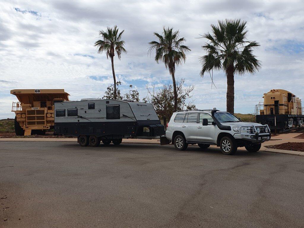
The entrance to the town is denoted by a gateway area housing a Diesel Locomotive and an Ore Carrier truck like a giant Tonka Toy. It adds a bit of character to what is otherwise a very utilitarian and stark little town.

Outdoor Movie Screen – Wickham

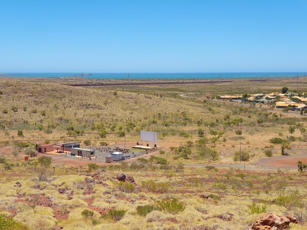
We took a drive up to the Tank Hill Lookout from which you could the starkness of the surrounding landscape and a quirky feature of the town, the open air cinema. Similar to the Picture Garden in Broome. From the lookout we first thought it was a drive-in theatre by the size of the screen but it was in fact an outdoor cinema with deck chairs and space to bring your own seat… Unfortunately we weren’t in Point Samson long enough to see the next feature.

Other than that Wickham was just a chance to get some fresh veges and re-stock on some the essentials you need when travelling. Interestingly… diesel was slightly more expensive in Wickham, which is substantially larger than Point Samson.

Port Walcott is another iron ore loading port, similar to Port Hedland, that operates 24 hours per day with massive ore loaders continually scooping iron ore onto conveyor belts which dump the iron ore directly into ship’s holds.

Unlike Port Hedland you could drive along the fence at Port Walcott and see one of the loaders up close. It is unbelievable how much iron ore is being dug up, transported to the coast and loaded onto ore ships for export. The scale of these machines and the non-stop operation of them just boggles the mind…

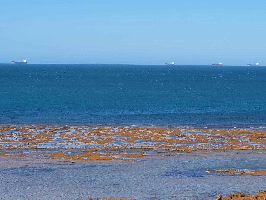
From the tavern and the historic jetty in Point Samson we could see nine or ten bulk iron ore ships lined up to horizon waiting their turn to dock and be filled with iron ore. We were told that there are probably more lined up over the horizon that we couldn’t see.

Bulk Ore Carriers – Point Samson
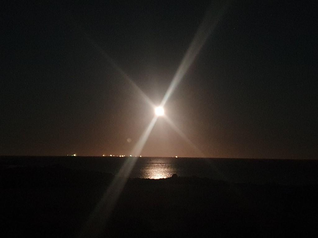
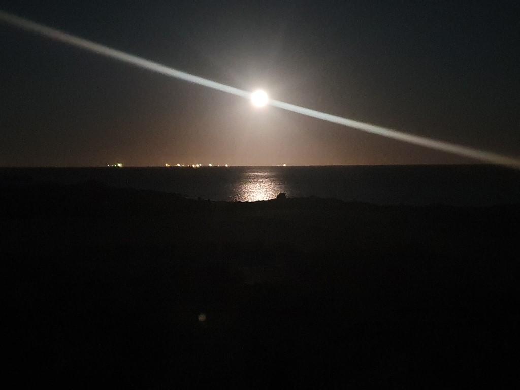
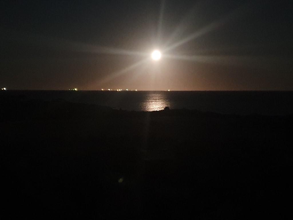
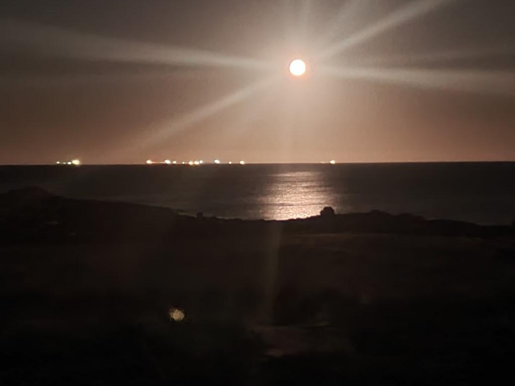
Staircase to the Moon

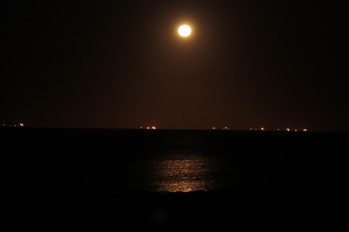
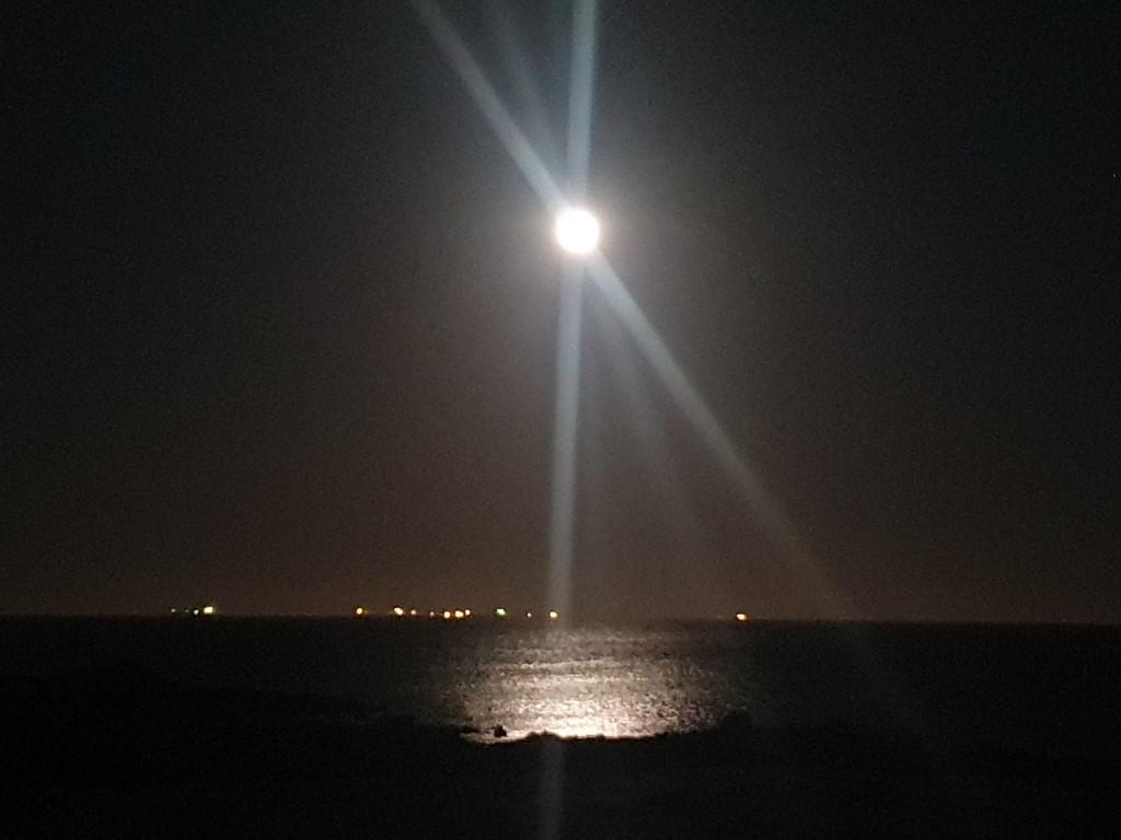
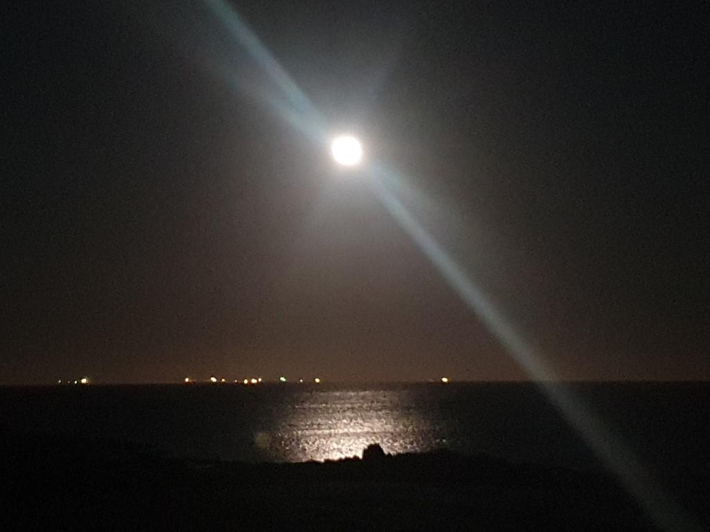
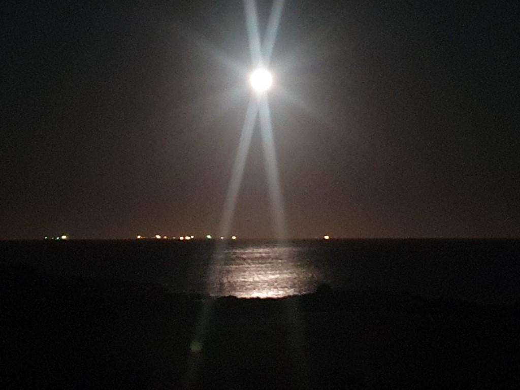
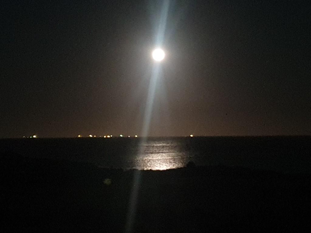
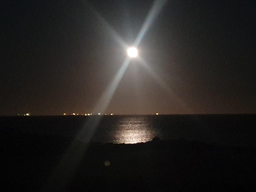
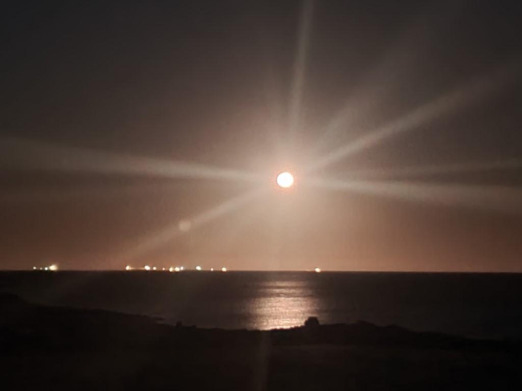
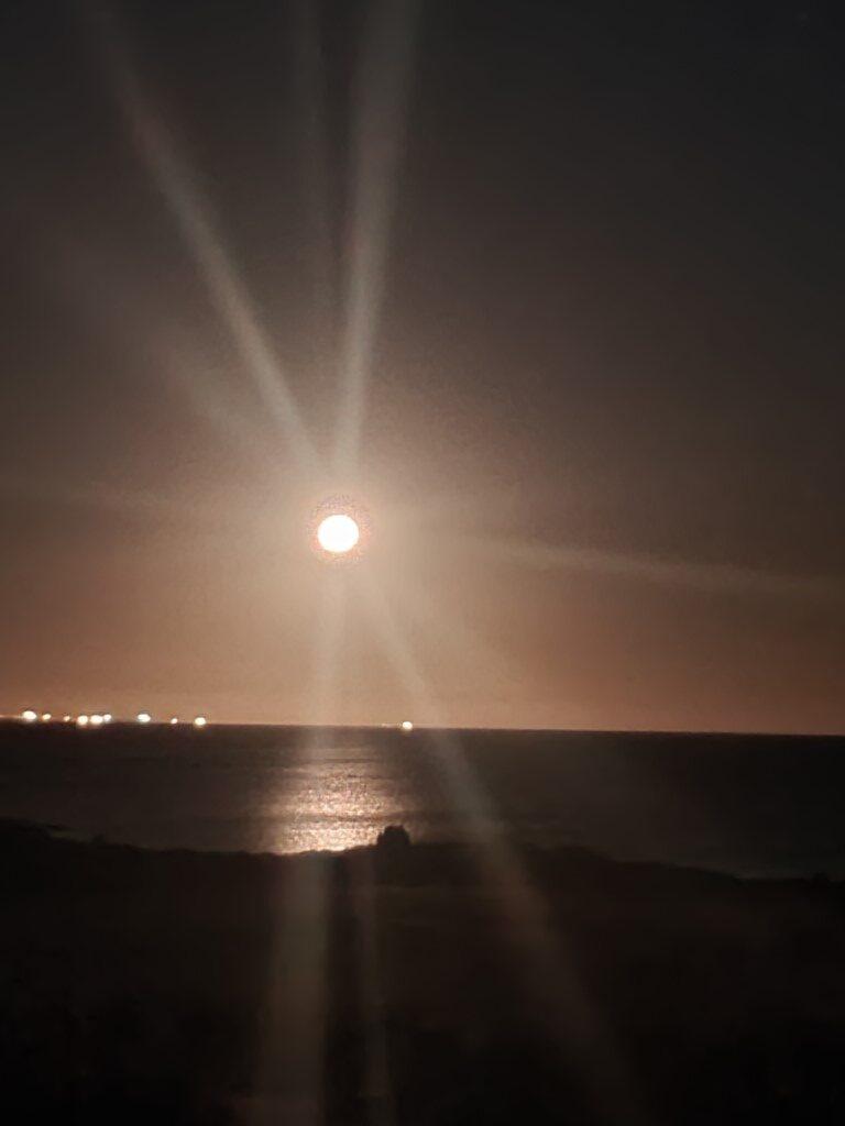
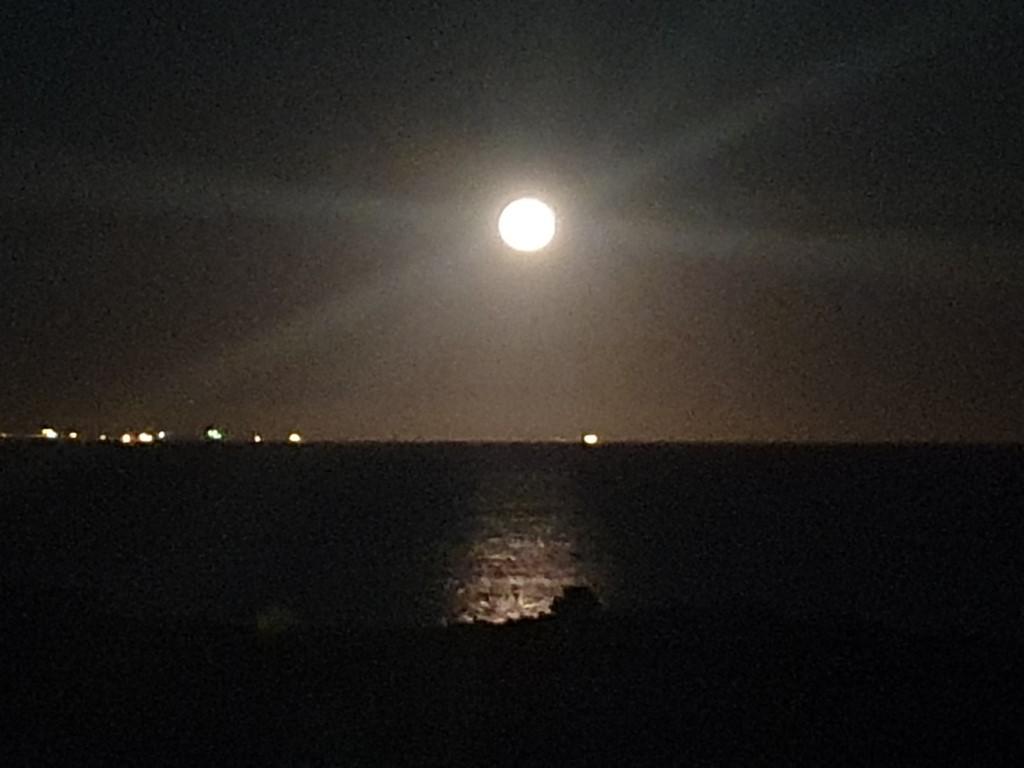
Point Samson is one of the places on the North Coast of Western Australia where you can view the phenomenon known as the ‘Staircase to the Moon‘. When conditions are right the full moon rises above the horizon and the light reflected on the ocean surface creates the illusion of a set of steps rising up to meet the moon.

Historic Jetty – Point Samson

We trapsed down to the Historic Jetty on two evenings to witness the event but both were not as good as they could have been and we put this down to the light pollution from the string of iron ore carriers waiting to come into Port Walcott, the relative calmness of the water surface and the fact that it was the last opportunity of the year before conditions become suitable again the following year.

Unfortunately the moon rose too high in the sky before the reflection appeared and it the reflections were not quite as banded ( stair-like ) as the best commercial photos show it. Still… watching the moon rise over the water is a nice way to spend a quiet evening in a beautiful place like Point Samson.

The really nice thing about our two evenings spent watching the Staircase to the Moon was that we met Sandy and Gary (Seagull), who were also staying at The Cove Holiday Village and were also trying to capture the moment. We got to know them a little and they invited us over to their van for happy hour on their last night. They’re good folks and have a very similar outlook on life and travel to us.

Staircase to the Moon

It turned out that they are from Coffs Harbour, which is Rob’s happy place in terms of a potential retirement place in the future. We were destined to keep catching up with them as our trip progresses as their plans and route are quite similar to ours heading onwards to Perth.

Coincidentally, they are rally enthusiasts who know the Bates (of Australian Rally fame and we have links with) and have very probably met our brother-in-law Trevor at some point as a result of the rally scene. Not only that but Sandy knows of Rob’s cousin who lives in Coffs Harbour as well from work associations.

We spent a very enjoyable and fairly long evening with them over nibbles (which ended up sufficing as dinner), beer, alcoholic ginger beer and more than sufficient bottles of red wine. We agreed to catch up with them again at Onslow, our next port of call.

Port Hedland

Port Hedland Van Site
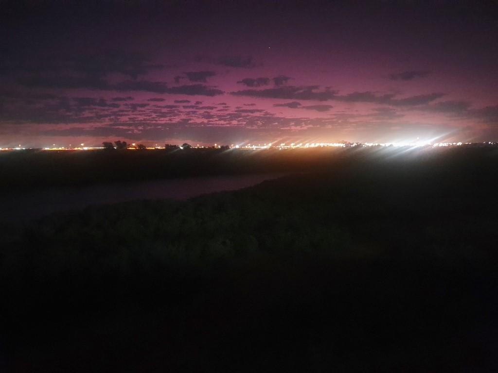
View from back of van site
South Hedland at night
View behind van site
Bulk Ore Carrier
Bulk Ore Carrier
Dome Cafe Visitors
Dome Cafe
Dome Cafe
Port Hedland Boat Ramp
Ore Loader
Public Wharf
Public Wharf Panorama
Loading a bulk ore carrier
Ore loading docks
The Esplanade Hotel window
Port Hedlan Control Tower
The Esplanade Hotel
Port Hedland Memorial

After nearly 250km from Eighty Mile Beach we were about 10km from Port Hedland and were pulled up behind a wide load truck transporting the most massive piece of equipment we have ever seen. The load on the truck looked like a gigantic steel rectangular swimming pool and was probably close to 3 stories high. It was immense… Luckily for us we came up on it at exactly the right moment to be waved past as we approached a wide intersection area.

Safely past the wide load we immediately noticed three things about Port Hedland:

  • Every fourth or fifth vehicle is a road train carrying ore or fuel;
  • Almost every vehicle that isn’t a road train is a white Toyota Hilux;
  • Every vehicle that isn’t Hilux is a Toyota LandCruiser.
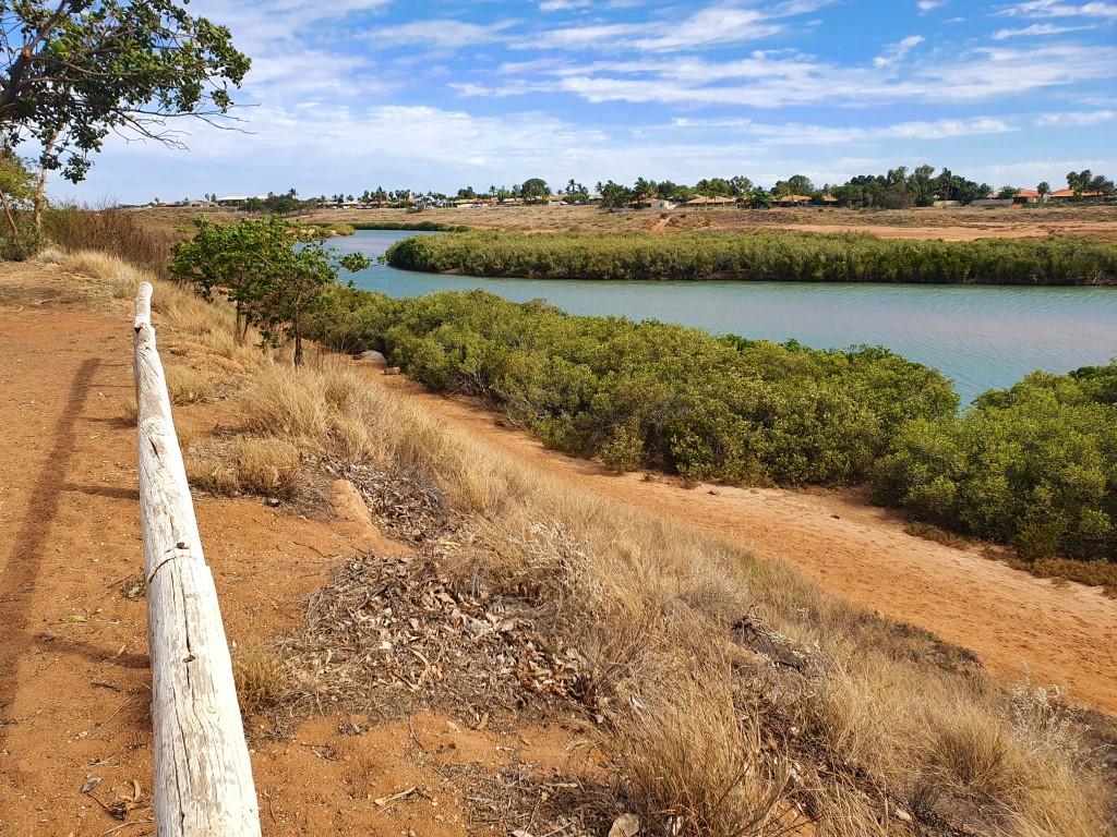
View behind van site

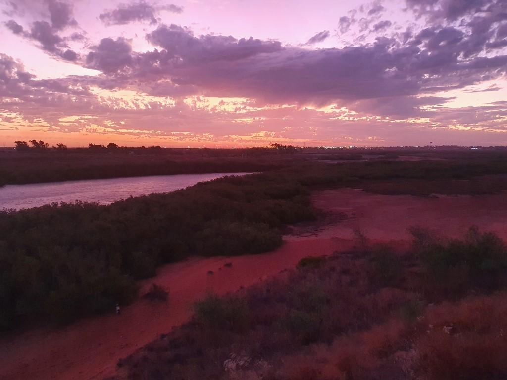
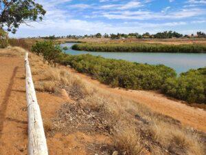
Consequently we fit right in.,, The drive to the Port Hedland Discovery Caravan Park loops you right through the residential housing area to the end of the road which loops back into town. The park itself is set on a point bordering a tidal creek. Across the creek is Pretty Pool, a newer residential development area is actually a twenty minute drive despite being just on the other side.

Port Hedland Van Site

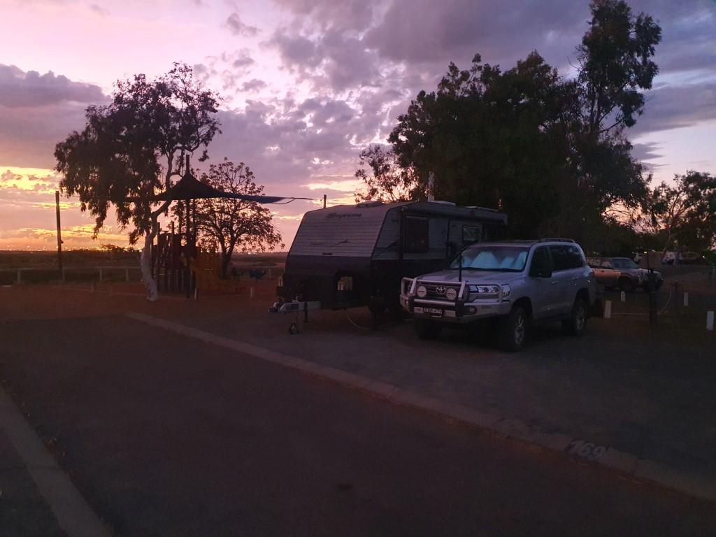
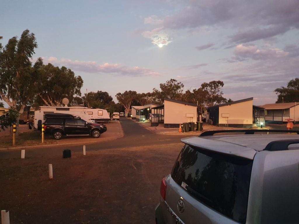
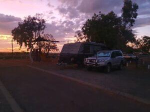
The reviews for the Port Hedland Discovery Caravan Park said that the road inside the park was very tight and that manoeuvering vans over 21ft was difficult. The road was very tight but given that the park was quite empty it ended up being quite easy getting out 22½ft van onto our site, which overlooked the creek.

Bulk Ore Carrier

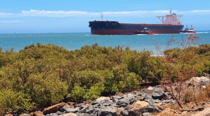
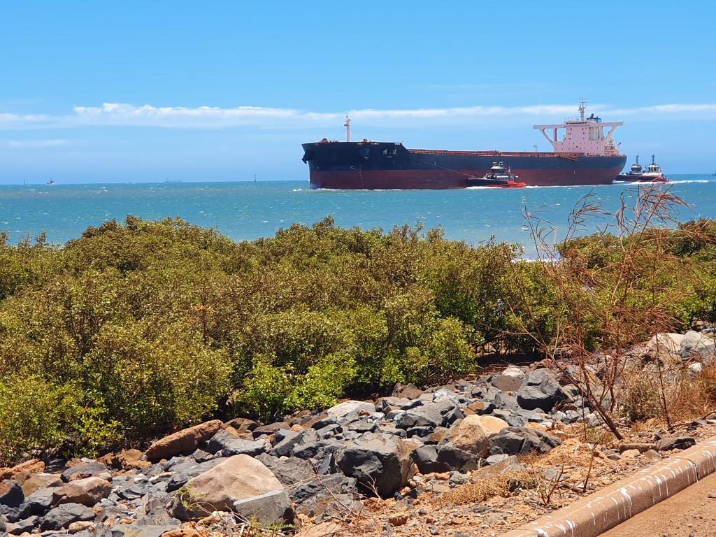
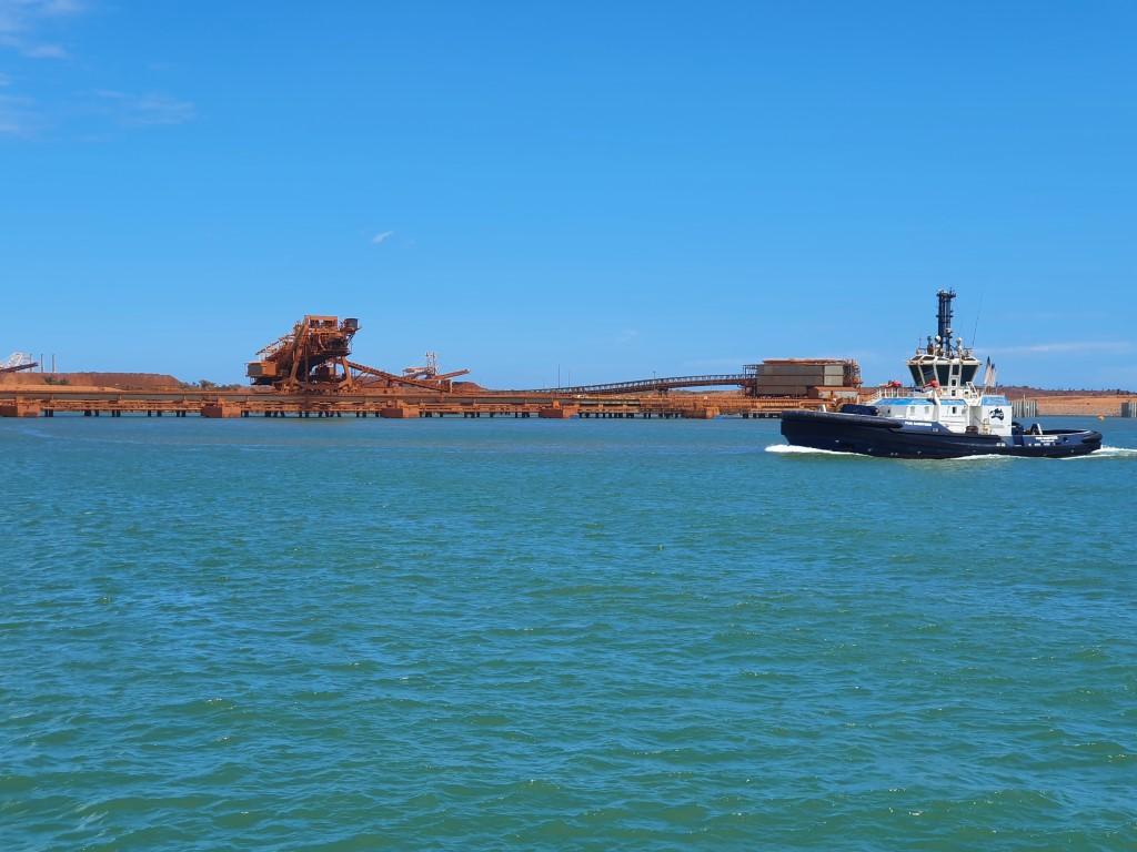
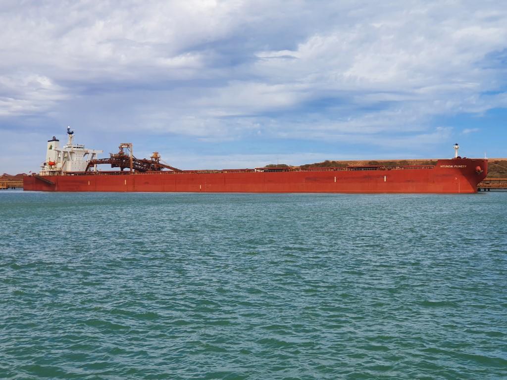
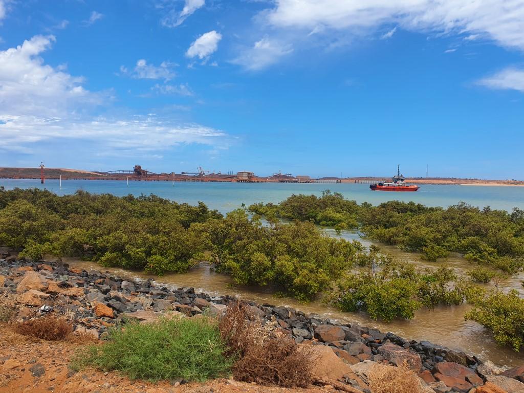
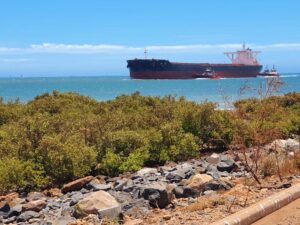
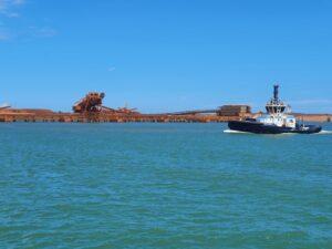
Port Hedland is first and foremost a mining port. It has a weird vibe about it, kind of like Woomera with people. The buildings and houses are all new’ish and the town itself is very clean and tidy. The ore loading port dominates the landscape on Finucane Island on the opposite side of Taylor Inlet. Like most visitors to Port Hedland we spent a few hours in town just watching the ore loader and the bulk carriers across the water.

Ore Loader

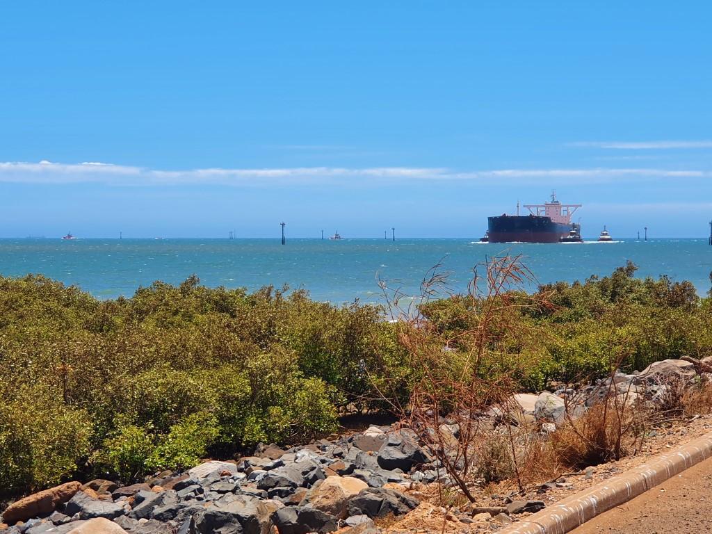
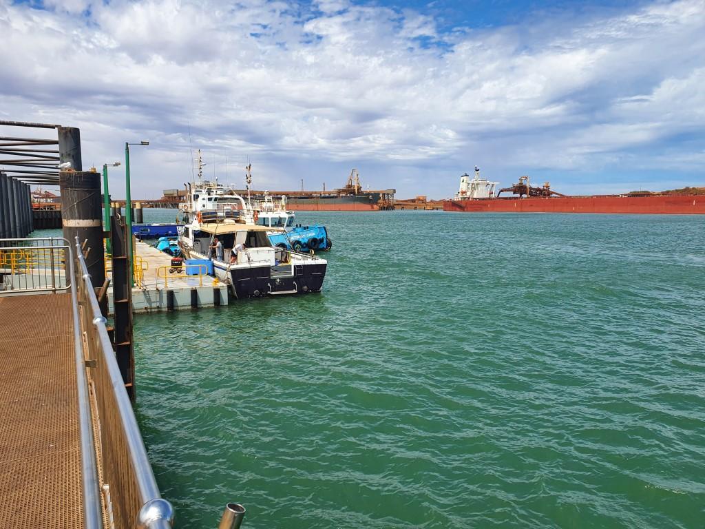
The tug boats seem to be going 24 hours a day shepherding the massive bulk ore carriers in and out of the port in an endless procession. The speed that the tugs bring the ships in is quite amazing and the unladen ships ride quite high in the water. Apparently it takes around 18 hours to fill an ore carrier and you can always see four or five lined up to the horizon ready to come in and be filled.

Dome Cafe

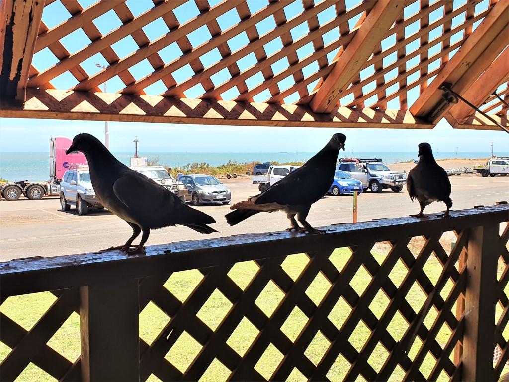
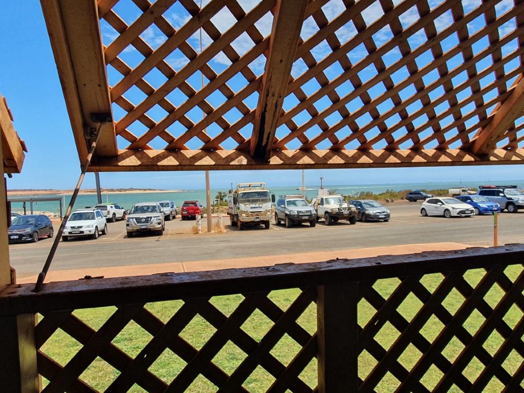
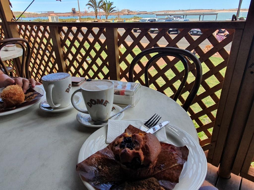
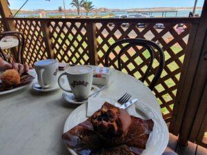
We spent a pleasant morning at Dome Cafe sitting on the verandah watching one ship being towed into port. The cafe was a historic building with a huge verandah attached by a breezeway to a newer kitchen/shop area. The verandah was completely enclosed by large lattice storm shutters, presumably a defence against cyclones. After the cafe we parked over near the public jetty and boat ramp to watch the ore carrier go past. It’s not often that you can sit in your car and watch a massive ship ply its way past you so closely.

The Esplanade Hotel

We didn’t do too much sight-seeing in Port Hedland, other than a drive around Pretty Pool, because there isn’t really that much to see. We did some re-stocking and re-fueling at South Hedland which is another residential and community area about 10km inland from the port. The fuel was also noticeably cheaper in South Hedland.

The Esplanade Hotel window

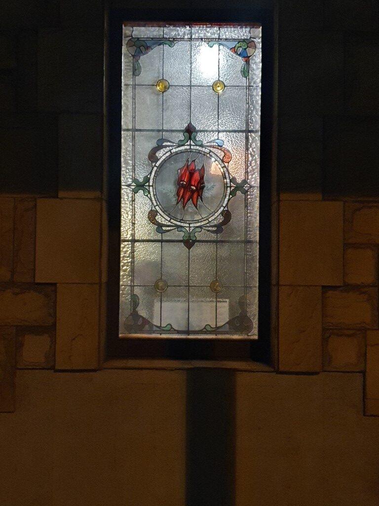
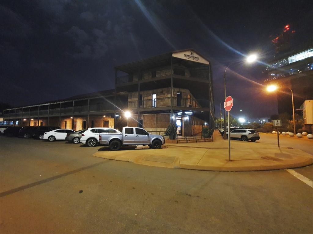
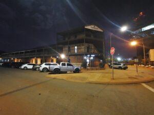
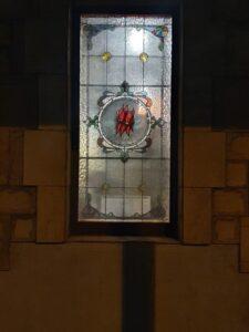
We did, however, do pub night at The Esplanade Hotel, a beautiful stone hotel in the port area of Port Hedland. First built in 1904 it is now a very elegant two story stone building with wrap around verandah on the upper floor. It has very distinctive stained glass windows featuring the iconic Sturt Desert Pea in the centre. The pub was incredibly busy and we couldn’t get a table in the courtyard area and had to settle for a table in the bar area. It was quite a nice pub but had matching nice prices as well.

Port Hedlan Control Tower

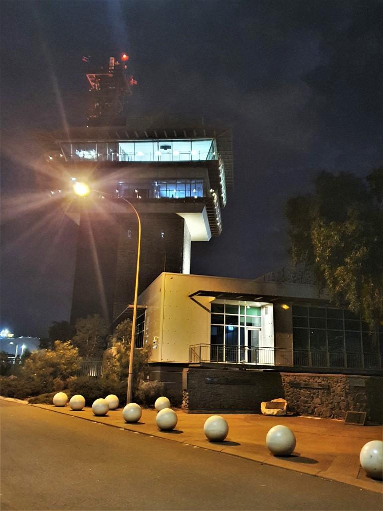
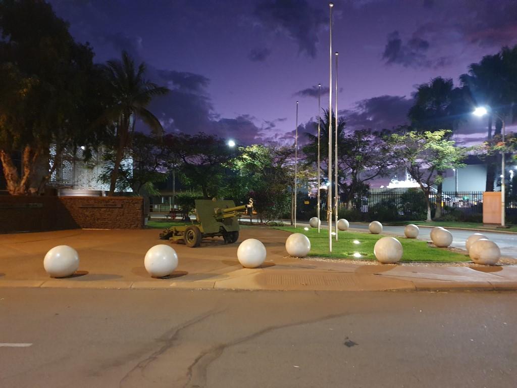
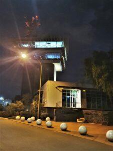
The Esplanade Hotel was directly across the road from the port control tower and a small war memorial. The control tower was an impressive structure similar to an airport control tower but not as high and with a broader work space. The control tower overlooks the port and ship turning basin, which was once a land-locked lake area that was re-joined with the ocean.

Apart from iron ore, Port Hedland also produces export quantities of salt from huge evaporation ponds and hills of salt that you drive past as you approach the town. It is also developing an area of lithium deposits and has natural gas reserves off the coast. It is an absolute hive of activity between the port and the mines further inland and you get the feeling that a lot of money passes through this place… on its way to somewhere else…
Eighty Mile Beach

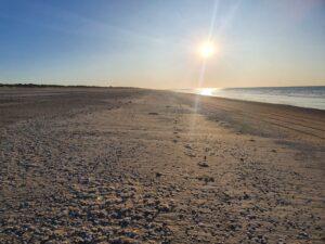
Eighty Mile Beach Sunset
Eighty Mile Beach
Eighty Mile Beach
Assorted Shells
Cake Urchin Shells
Eighty Mile Beach – Turtle Nesting Tracks
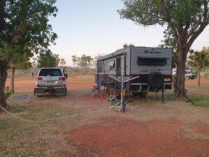
Eighty Mile Beach – Van Site
Eighty Mile Beach – Veterans Memorial
Eighty Mile Beach – Osprey
Eighty Mile Beach
Sandfire Roadhouse
Eighty Mile Beach – Van Site

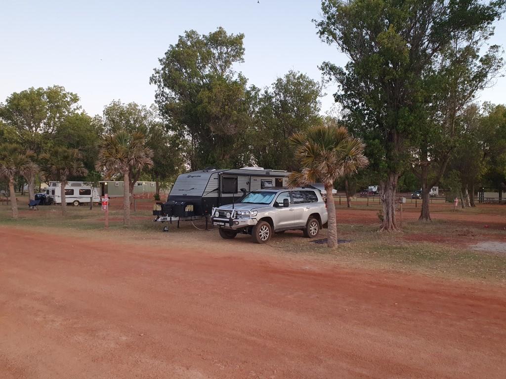
Eighty Mile Beach Caravan Park is half way between Barn Hill Station and Port Hedland by 250km in each direction. It is a remote campground set directly behind the dunes of Eighty Mile Beach. Despite being so remote it is fully serviced with power and water and the park office also has a very well stocked shop with all sorts of essential groceries and even a good range of meats. It was the perfect spot to split the drive from Barn Hill Station to Port Hedland and we opted for a four night stay there.

Sandfire Roadhouse

We did have a lunch and fuel stop at Sandfire Roadhouse. It was an entertaining fuel stop. Rob was filling the cruiser and some locals pulled in behind. Unbeknownst to us, a couple from Barnhill Station had pulled their caravan in from the other direction. After Rob paid and pulled away from the pump the Barnhill couple pulled up to the pump, which caused a minor fracas when the local couple objected loudly that they had been there first (which apparently they were’nt). It didn’t get beyond the stage of verbal abuse but the Barnhill campers held their cool and joined us later at Eighty Mile Beach Caravan Park with a story to tell.

Eighty Mile Beach – Van Site

The campground was quite large and the sites were very generous in size with the standout feature being green grassy sites, which was most welcome after having spent a lot of time on red dirt and gravel in the last month.

Like Barn Hill Station, you have to turn off the highway and drive 9km to the campsite on corrugated red dirt. The road was in fairly good condition when we arrived and once again Rob’s sliding door ‘anti-bounce’ devices made from an old thong held the doors securely in place. A design engineering masterpiece…

As it turned out, Ange and Chris (from Lake Argyle and Barn Hill Station) were also there, as were an assortment of people who were at Barn Hill Station at the same time as us. Jo turned into social engineer and organised a happy hour at one of the camps BBQ areas, which happened two nights in a row. Many stories were swapped and quite a few beers and wines were consumed at sundown… which is just the way it should be.

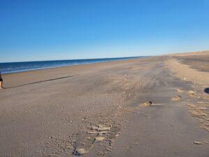
Eighty Mile Beach

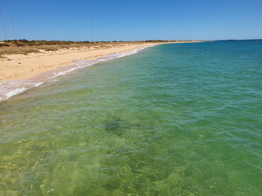
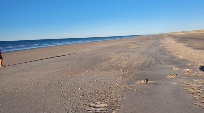
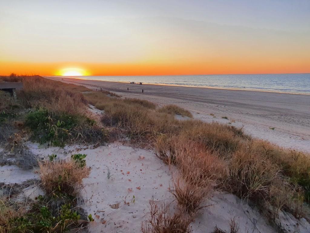
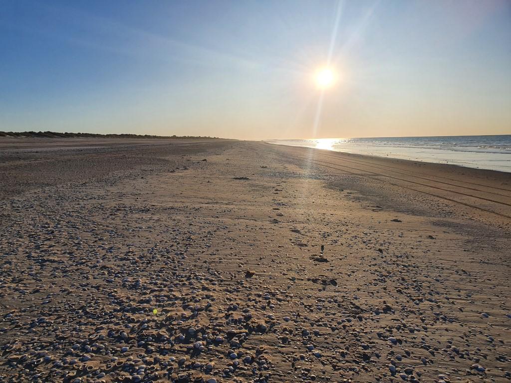
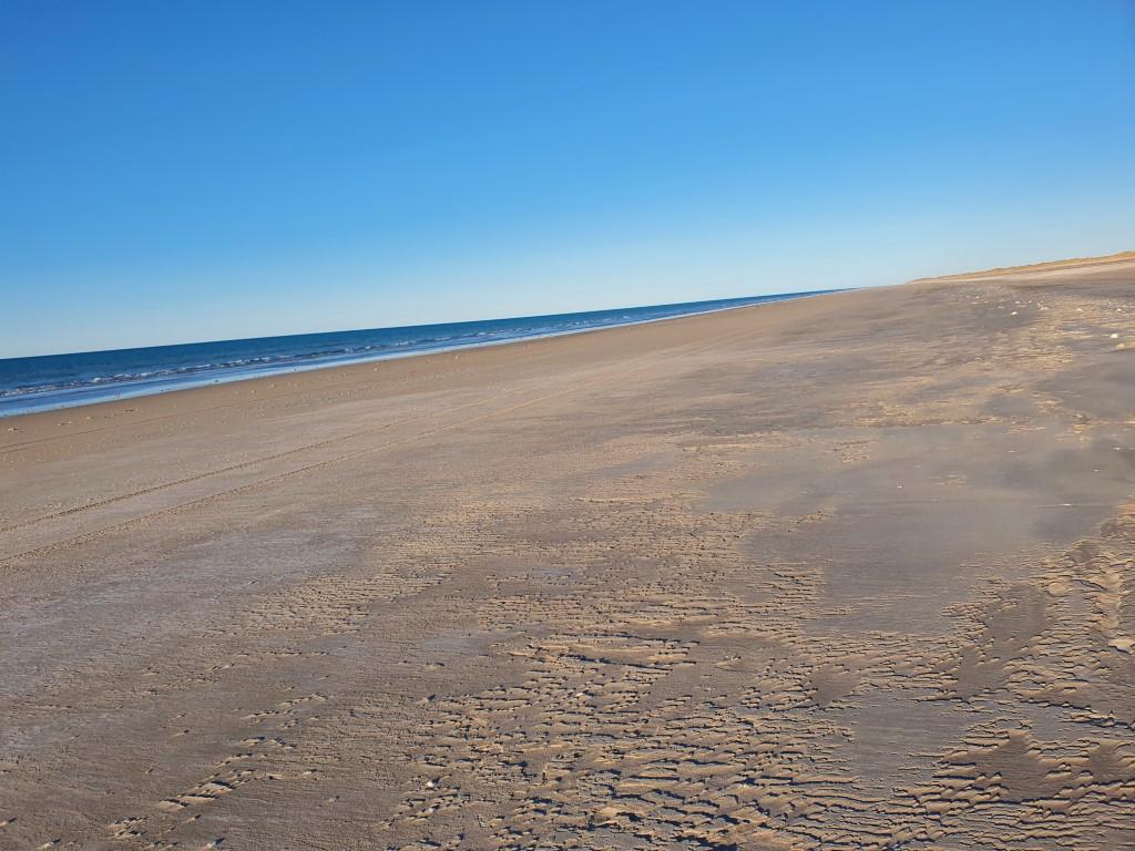
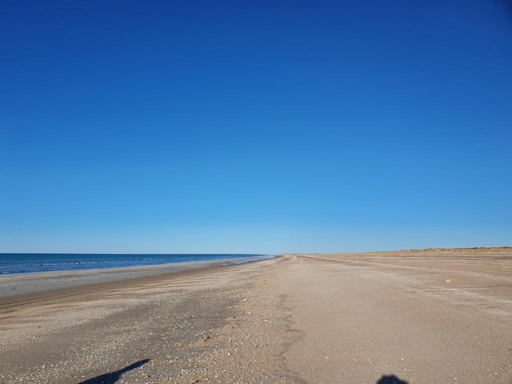
Eighty Mile Beach is exactly that… just one great long beach. Far longer than Barn Hill Station beach. That’s all there really is there but it has two massively attractive features. It is a shell collectors paradise and briliant beach fishing. Rob finally broke out the beach rods and got them wet. The first he tried soft lures, which yielded nothing but the second day using a triple-gang-hook rig with mulies (pilchards) for bait landed three excellent Blue Threadfin Salmon.

Fishing on Eighty Mile Beach was very reminiscent of fishing for tailer on Fraser Island many years ago. The Blue Threadfin Salmon are very similar to tailer except that they dont bite as hard and you need to let them hook themselves rather than jagging back when you feel the bite. Rob lost his first two fish that way until he learnt to let them take a few chomps first.
Eighty Mile Beach

Unfortunately no pictures were taken of the three that were caught but suffice to say we had fresh fish for lunch and dinner that day. The Blue Threadfin Salmon, despite having similar characteristics to east coast tailer were a much better eating fish having a whiter, firmer flesh and a slightly sweeter taste. Nothing like fresh fish caught off the beach and eaten straight away.

Cake Urchin Shells

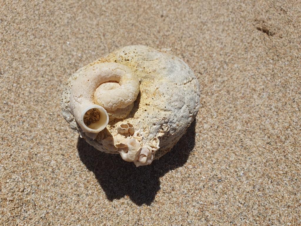
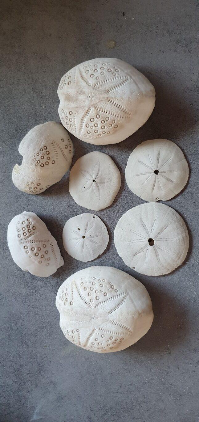
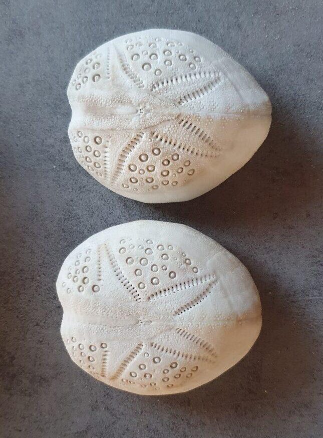
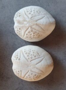
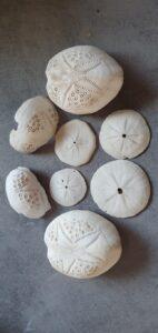
Whilst Rob was busy fishing Jo spent most of her time scouring the beach for a particular type of shell found here called a ‘cake urchin‘. Cake urchins are a hollow egg shaped shell with a star pattern etched on the top as series of small dots. They’re totally amazing… Jo found two of them not far from the campground on her morning walks along the beach and also found a number flat discs with similar patterns.

Assorted Shells
Eighty Mile Beach – Turtle Nesting Tracks

The beach is literally littered with shells deposited along the tidelines stretching as far as the eye can see in either direction. The beach width here varies greatly with the high and low tide differences similar to places like Barn Hill Station, and Broome.

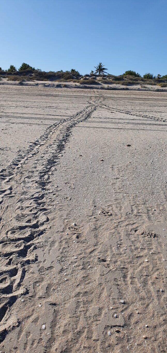
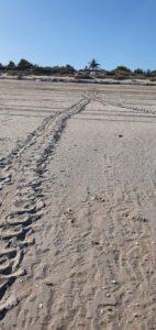
On one walk she also passed a set of turtle tracks on the beach from a female making the trip to the dunes to lay eggs. It was coming into turtle mating season as we arrived and it was good to see that the turtles are doing what comes naturally and that the rangers were marking the egg sites to ensure that they are left to themselves and not raided or inadvertantly walked over or driven on.

Eighty Mile Beach – Osprey

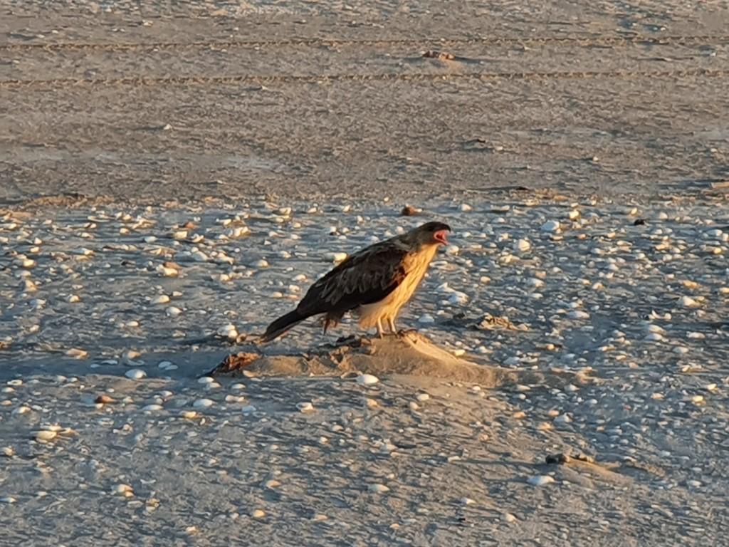
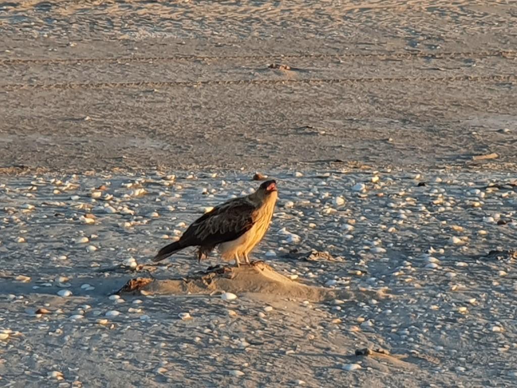
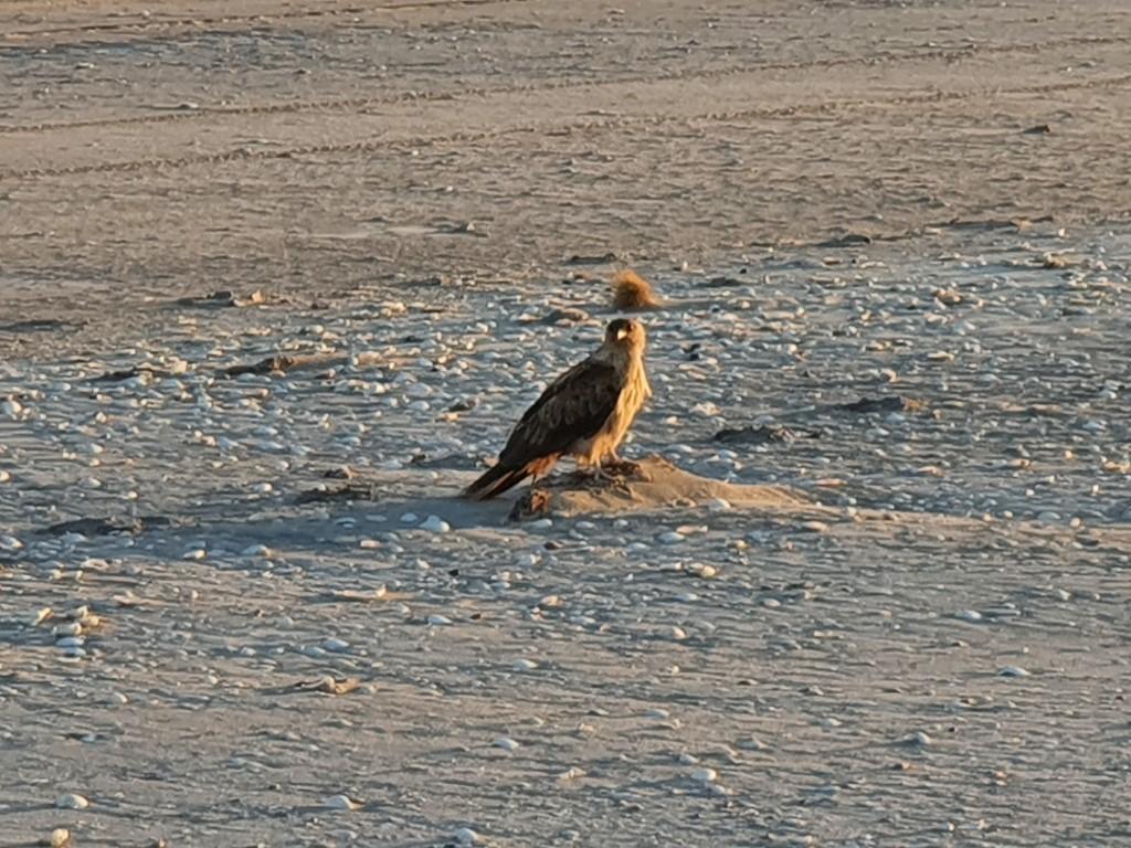
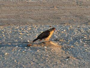
On one beach walk we came across an Osprey. We recognised it from the bird show we had seen at the Northern Territory Wildlife Park we had visited in Darwin. They are a species in their own right having the characteristics of falcons, hawks and eagles. The distinctive feature is a specialised claw that actually locks around a fist so that it is unlikely to drop it. The downside is that whether or not it catches a fish it has to rest and wait for the claws to relax and unlock before it can try again.
Eighty Mile Beach – Veterans Memorial

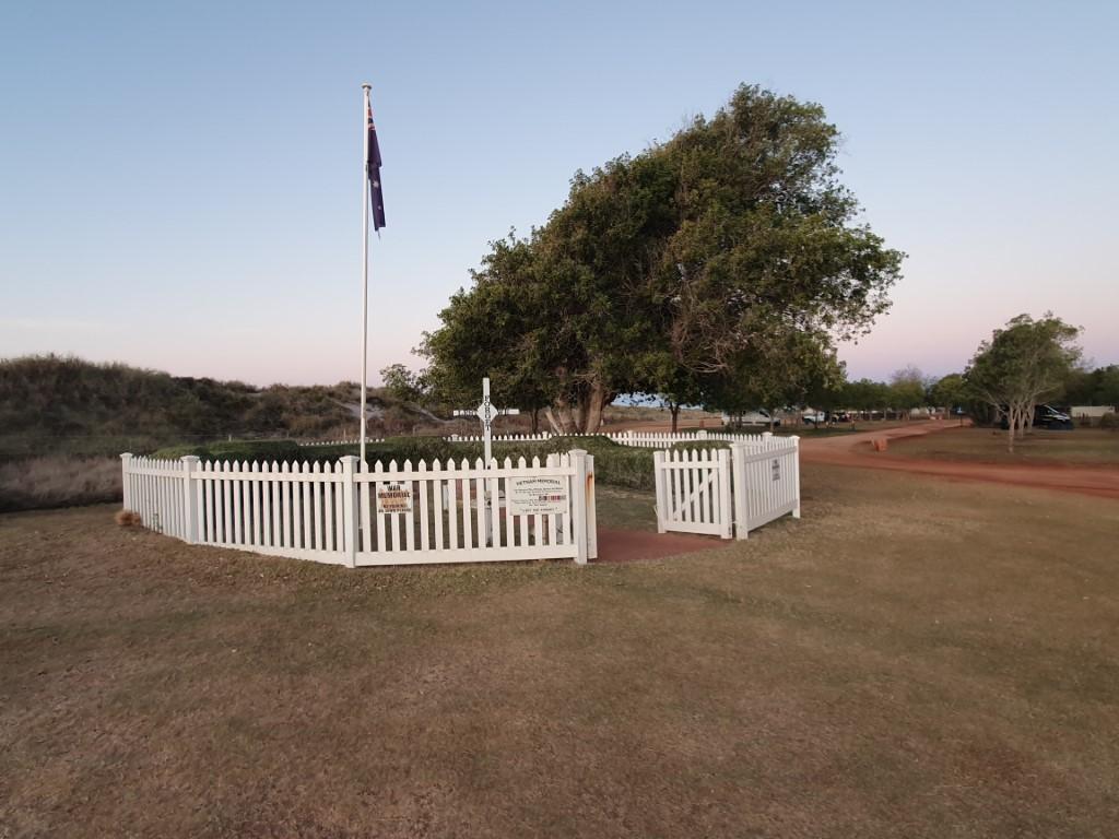
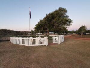
Another nice feature of the campsite was a war veterans memorial that was a neatly kept and fenced lawn area with commemorative memorial and a flag, which was lit at night in accordance with correct flag flying protocols.
So… for a place that is so isolated we had a very full four days that were very memorable…