


So… We continued our long trek up the middle from Erldunda to Alice Springs, which is pretty much the half-way point between Adelaide and Darwin. It’s at this point that you really begin to grasp the enormity of the distances and the vastness of Australia. We suspect that had we crossed the Nullarbor instead that we would probably be learning the same lesson. And that’s a lesson that we’re yet to learn… as well as when we tackle the West Australian coast from Darwin to Margaret River.
It was a decent tow of 275km but the daytime temperature was still relatively cool in the mid-twenties. Not a huge amount of traffic but it was beginning to become noticable that more caravans were beginning to head south with the approaching wet season in the top end.

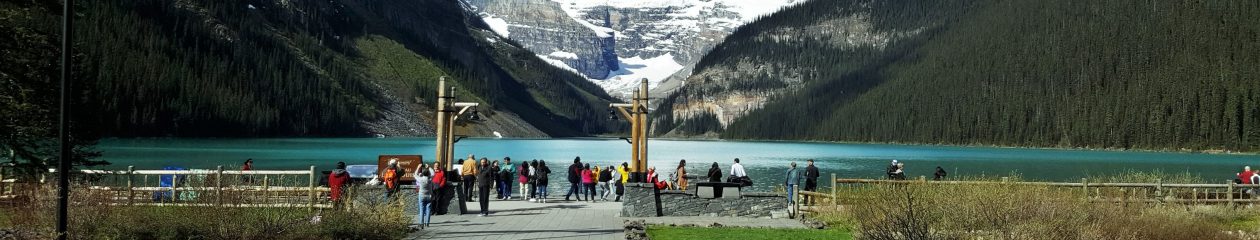
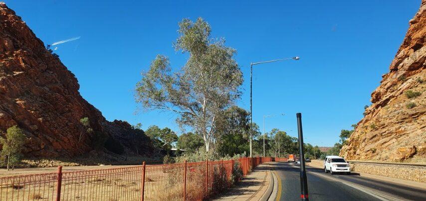
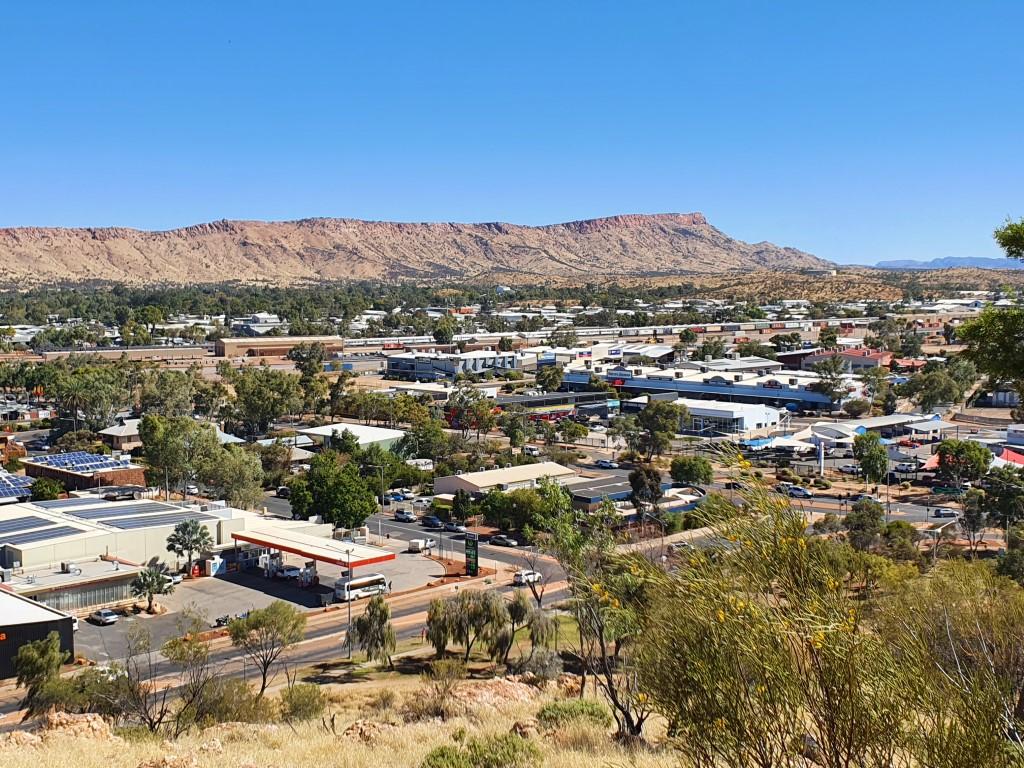
At last we approached the ‘Gap‘, which signalled that we had arrived at Alice Springs. It’s quite an impressive way to enter the town and splits the MacDonnell Ranges into East and West. Our destination was the Wintersun Cabin & Caravan Park on the northern side of town. This meant we go to see the town itself as we drove through.
As you travel up the centre you hear all sorts of warnings about Alice Springs (and other places). That you need to be very careful, where to park or not park, to lock your things up, to not be in town after 3:30pm, etc. Despite it’s reputation, it’s still a pretty tidy and well kept town with good facilities and services. Plenty of green grassy areas that are well irrigated.
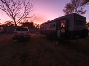
The Wintersun had good reviews and Jo was told that there had only been one break-in in the last year. Some idiot had left his van unlocked with cah on the table… so what would you expect! Still the whole park was fenced with overlapping circles of razor wire sitting atop. It was a nice clean park with decent sized sites and easy to manoeuvre into them.
The park boom gate and entry gate were broken for a day or two while we we there but the caretakers warned everybody that the gate would remain open for one night and to just be sensible. That said… a van across from us left their Weber BabyQ out on their table unsecured so I set ours up and chained it to the van as I do anywhere else. We still have it and the other guy still has his…
We did hear on our second day there that the Coles and another store had been broken into overnight and a car stolen, which had also been recovered and the offenders caught. The ABC radio seems to broadcast a daily crime report and you also see ads on tv about making Alice Springs a better community.
The other major indicator was when we visited the BWS to buy some drinks. The entrance was being guarded by three N.T. Police Officers who were screening customers through the door and refusing entry to certain locals. They were quite thorough asking where we were from and ensuring that our intention was to drink the alcohol we bought and not supply it to anyone else. We also had to provide I.D. at the cash register so they’re pretty serious about their alcohol control but were also doing it all discretely and respectfully.
Our friends from earlier places, Barbara and Paul, had arrived in Alice Springs a few days before us and this was the last stop before turning around and heading back home to the Adelaide Hills. So on their last night we met up for the last time at The Gap View Hotel for dinner and to swap stories once again. Having arrived in Alice Springs before us they gave us plenty of welcome advice on the things to see and do. It was sad to finally farewell them as they turned south and we kept our northern bearings a few days later.
All in all Alice Springs seems to be thriving albeit with a set of serious social problems that will probably take a generation or two to solve… if they can be. On the surface there seems to be ‘will’ for it but the ‘way’ appears to be mired in political ineptness with decisions being made too far away by uninformed politicians.
Hopefully the ‘Uluru Statement From the Heart‘ will go some way to addressing it but symbolic politics probably won’t be enough to help the current generation.
Our first day in Alice Springs saw us heading east along the East MacDonnel Ranges. You could be forgiven for thinking that Alice Springs is the land of ‘gaps’, ‘gorges’ and ‘chasms’…
The gaps, gorges and chasms are passages through the ranges that have been created through folding, faulting and erosion over thousands of years. Most of them have water holes of varying size depending on their geology and the amount of rain received throughout the year.
Barbara and Paul had suggested to us that the best way to tackle the MacDonnel Ranges (either side) was to pick the farthest point you want to visit, go there first and then work your way back towards town, Despite this we actually did it the other way around (on the east side) as things were much closer than the west side.
Emily & Jessie Gap
First stop was Emily Gap and the nearby Jessie Gap. The two gaps are thought to be named after the daughters of Charles Todd who was responsible for the Australian Overland Telegraph Line. A monumental feat of engineering and pererverance from Adelaide to Darwin linking Australia to the world.
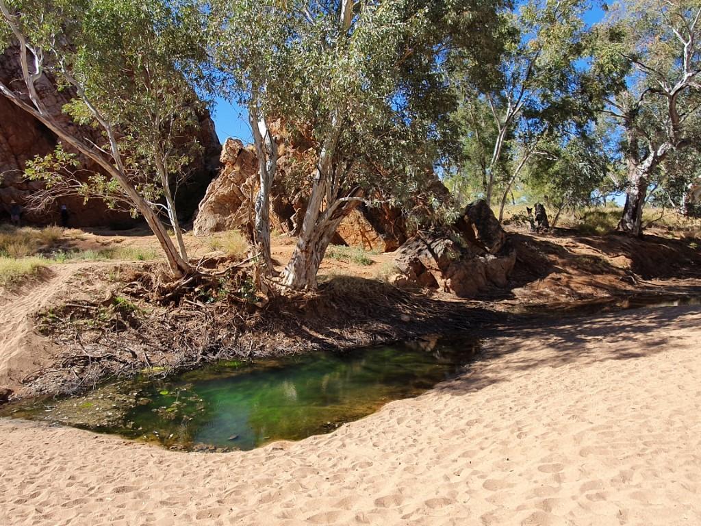
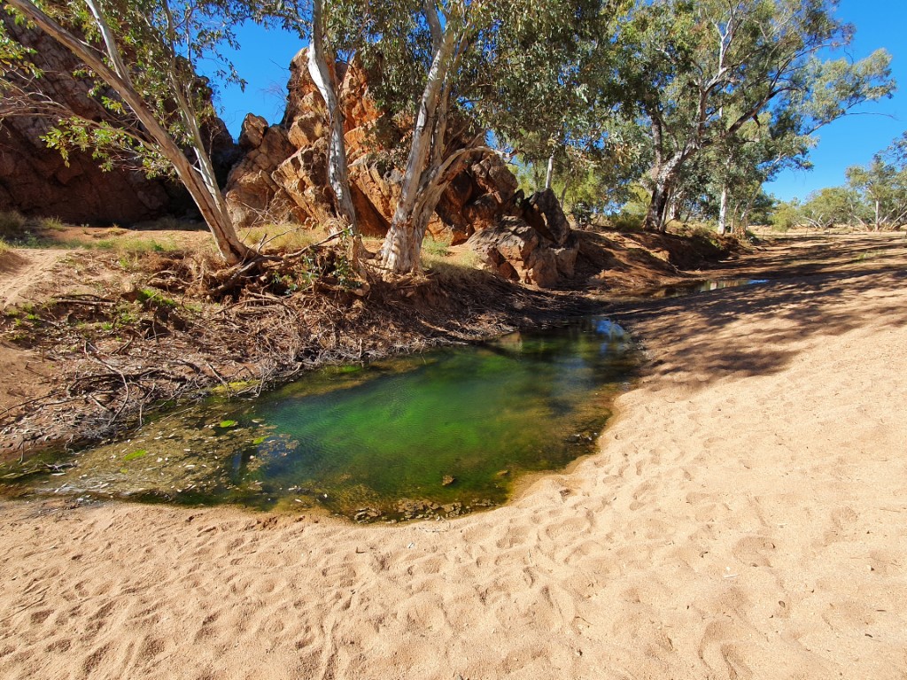
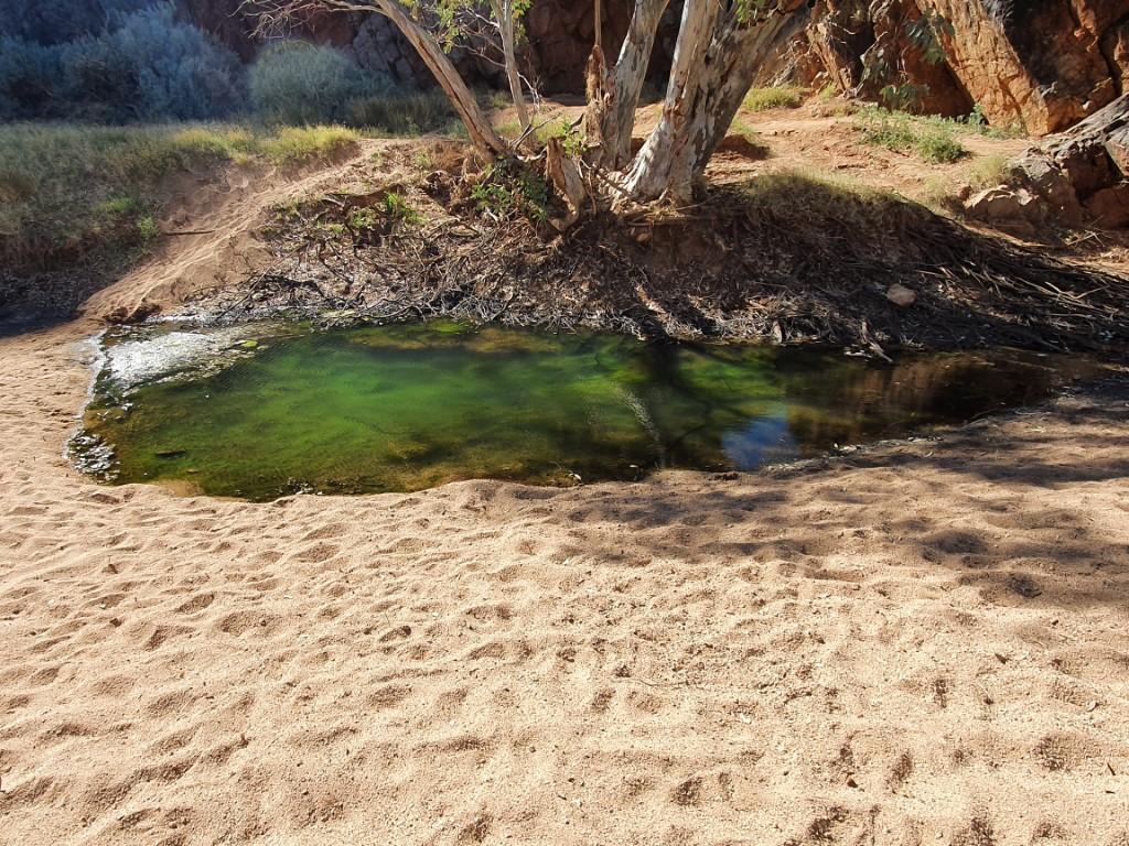
The water in the water holes at Emily and Jessie Gap was fairly stagnant and the smaller ones were thick with algae growth which turned the water a light turquoise green in colour. Quite beautiful to look at but certainly not for wading.
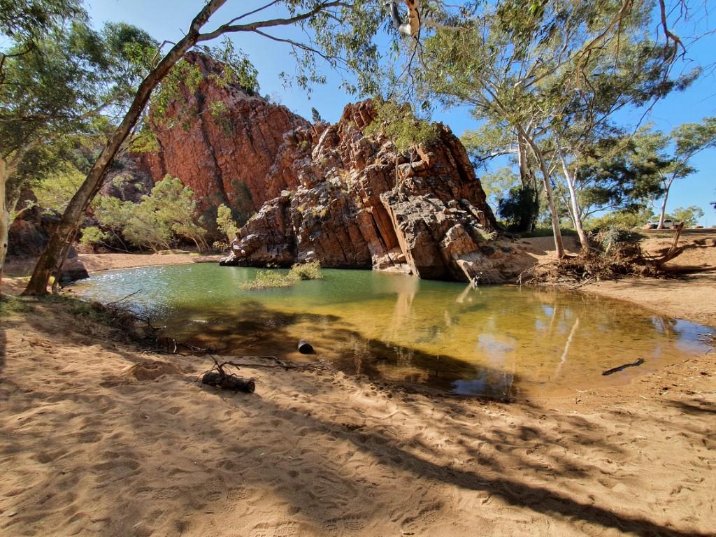
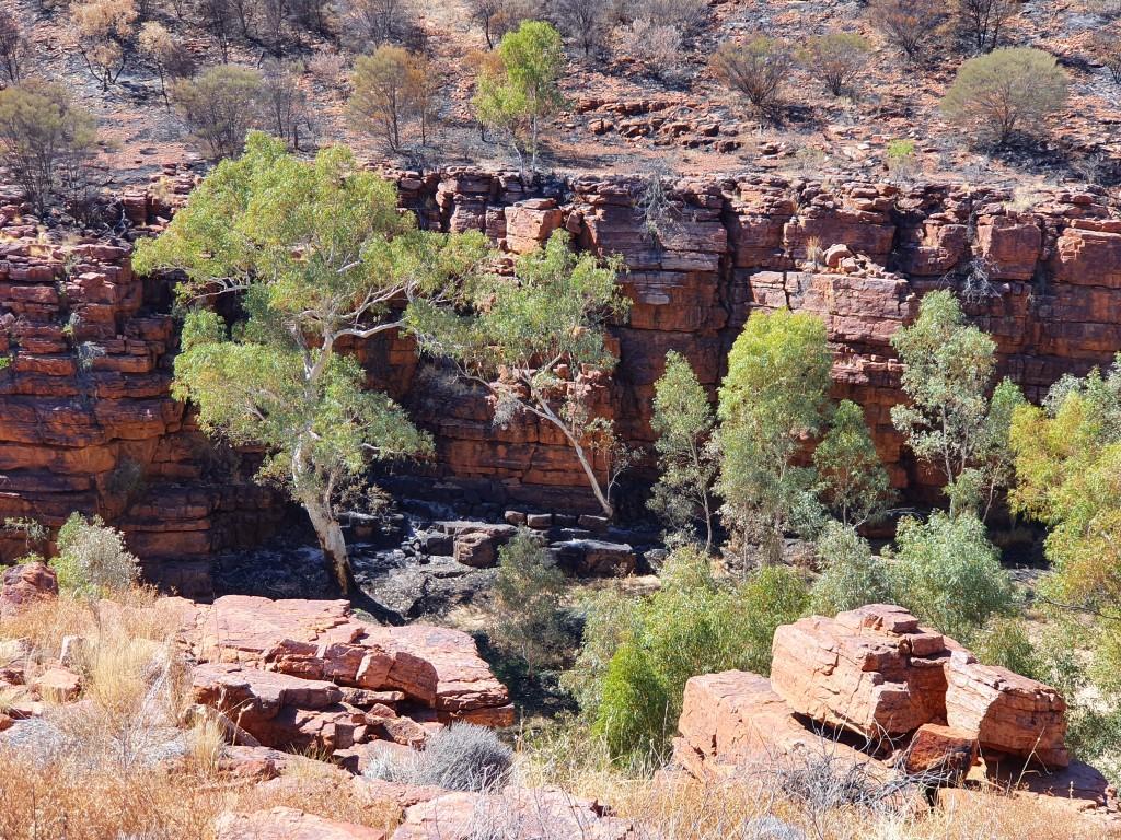
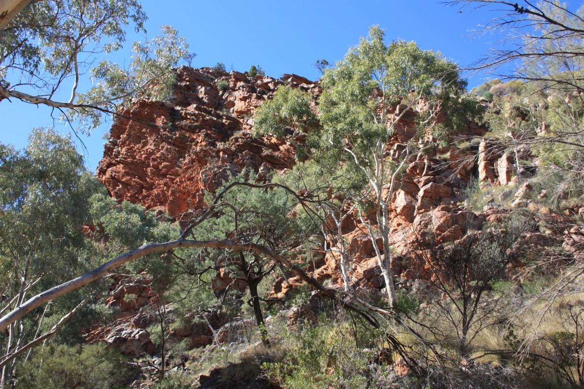
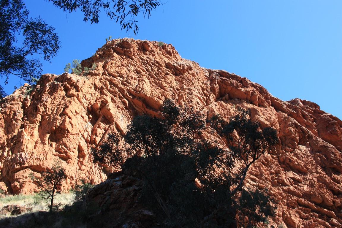
Trephina Gorge
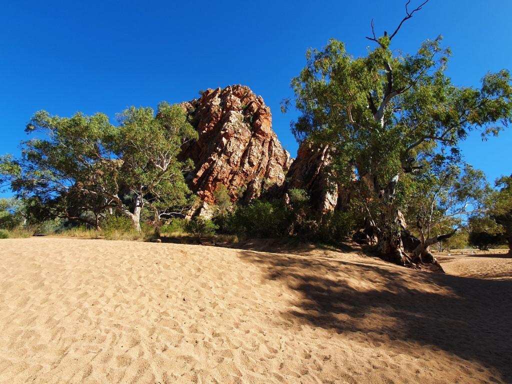
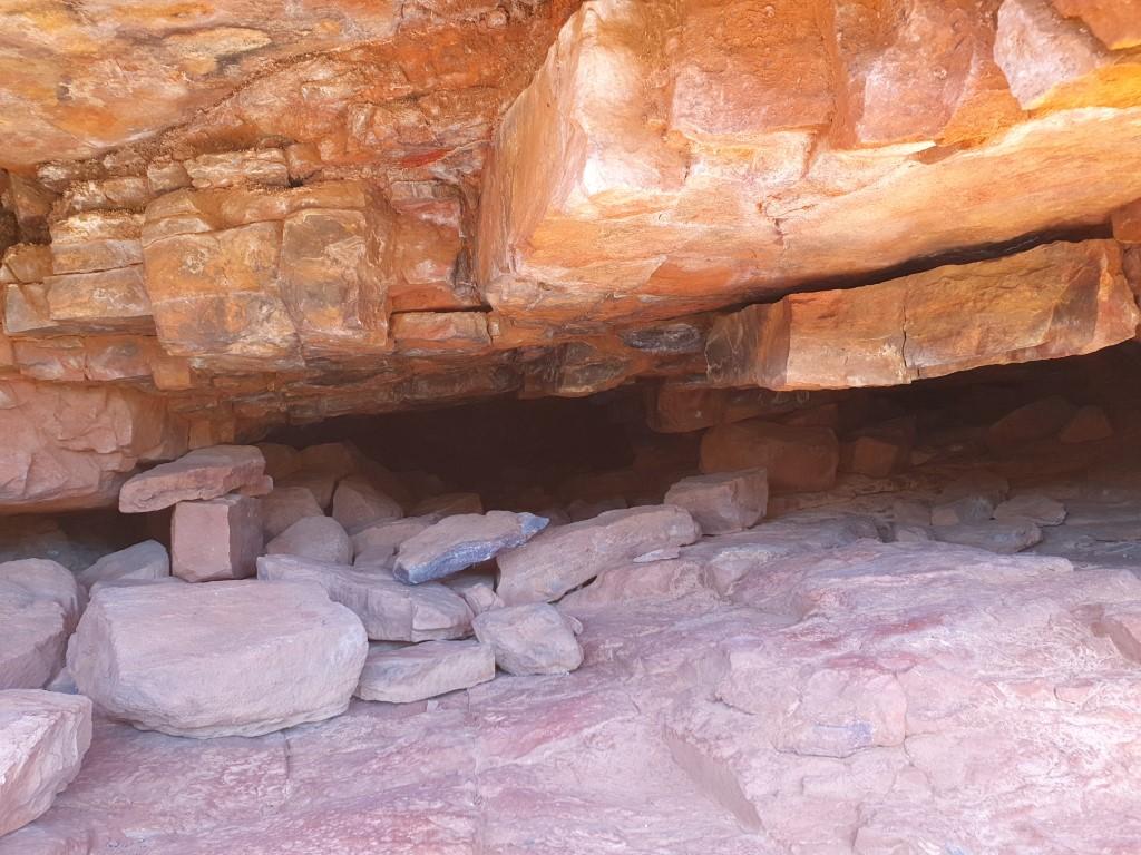
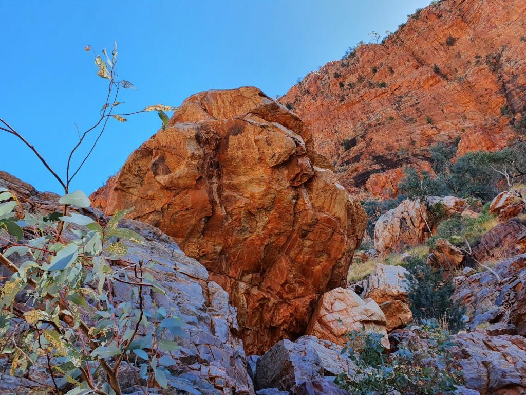
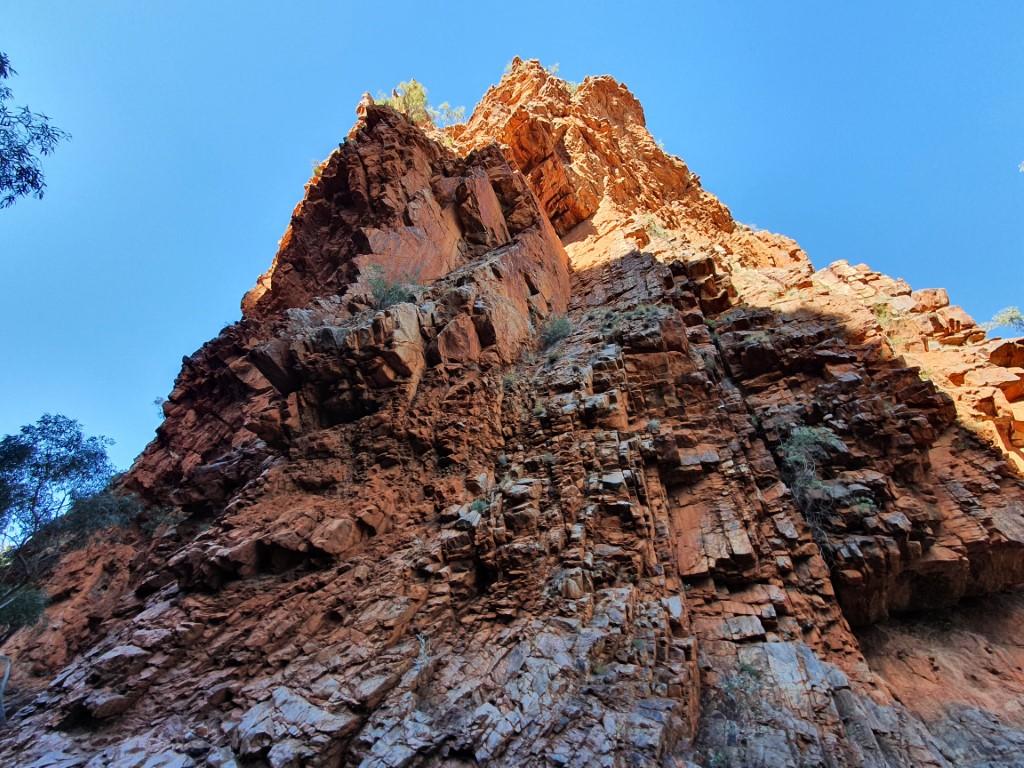
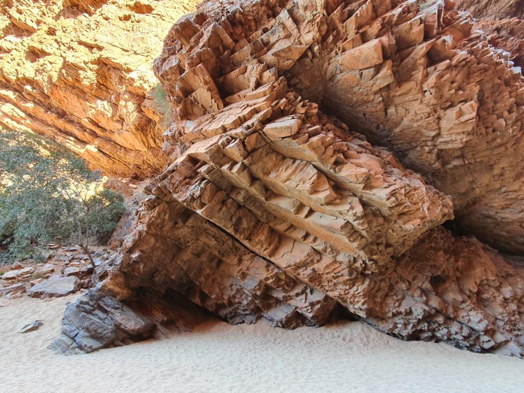
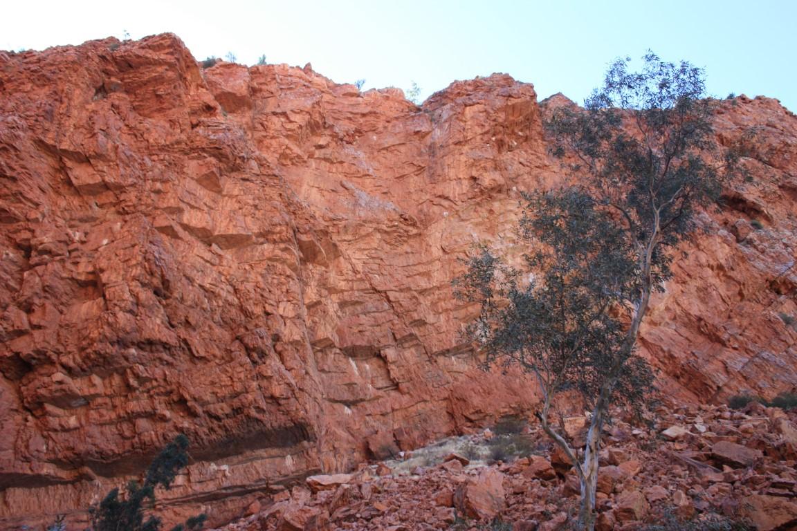
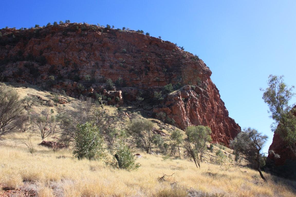
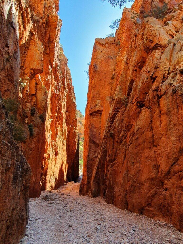
Trephina Gorge is located ~55km from Alice Springs. As our first gorge we were immediately blown away by the red rock walls of the gorge with the contrasting biege sand on the floor of the corridor.
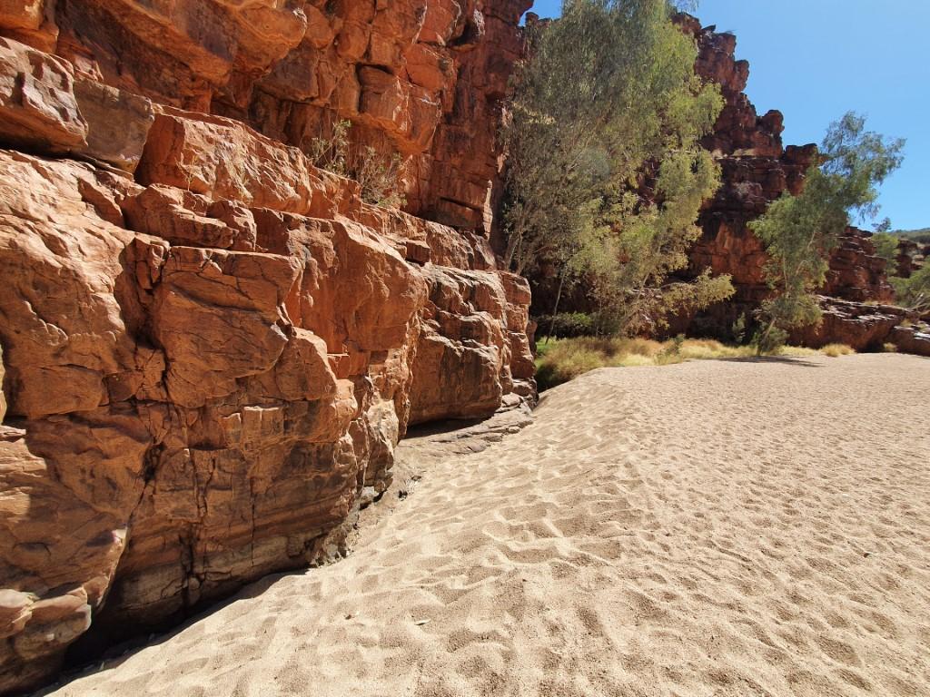
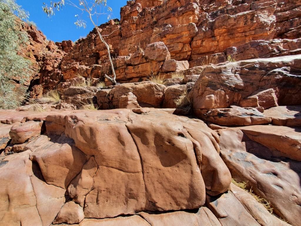
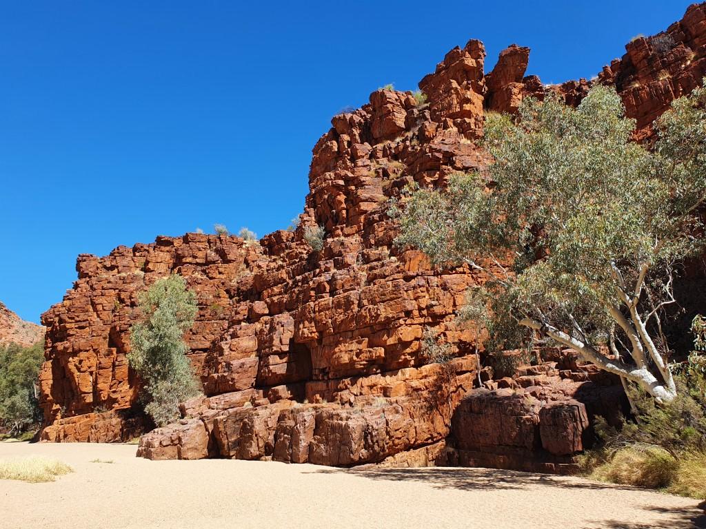
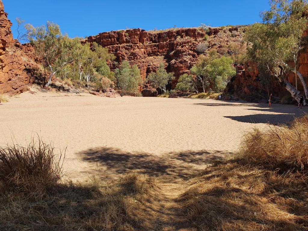
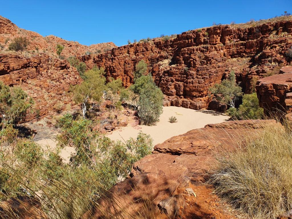
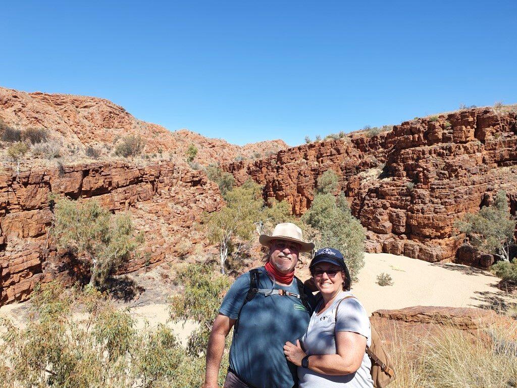
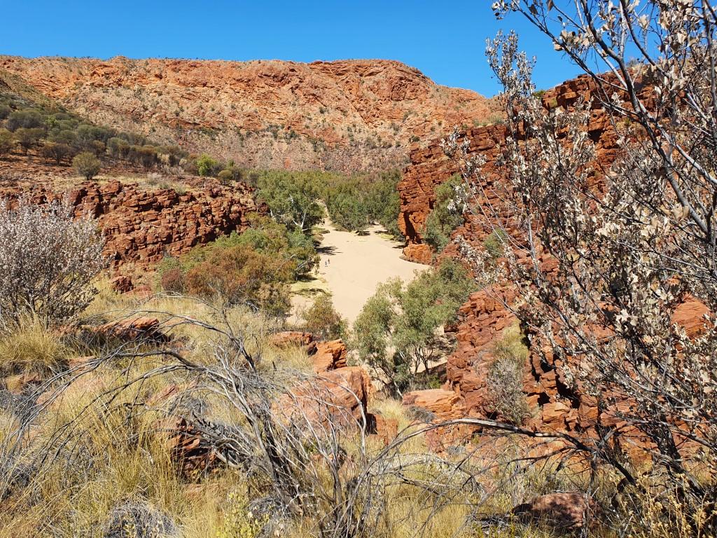
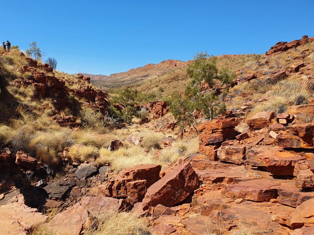
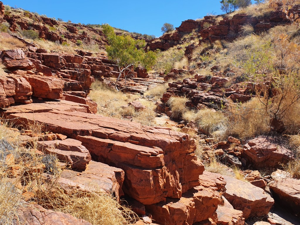
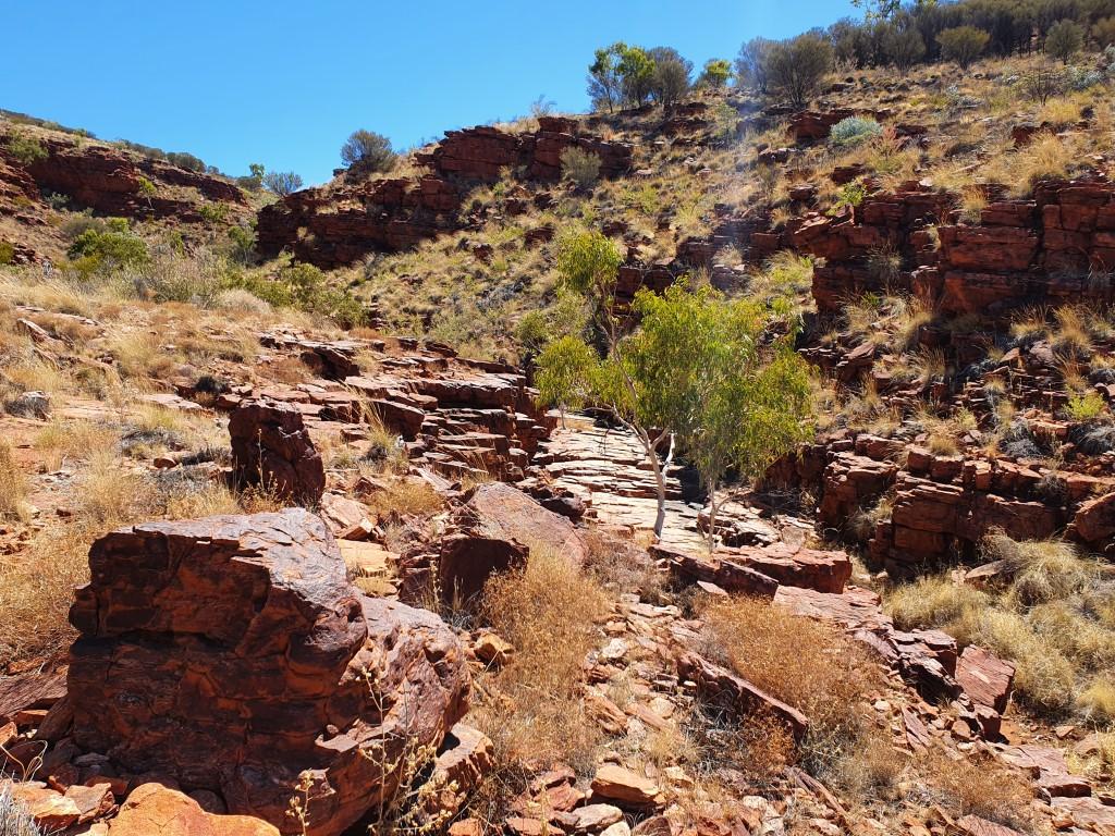
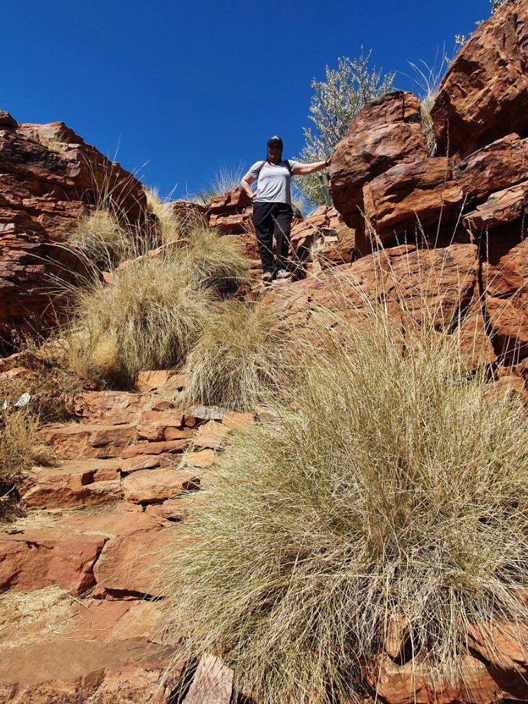
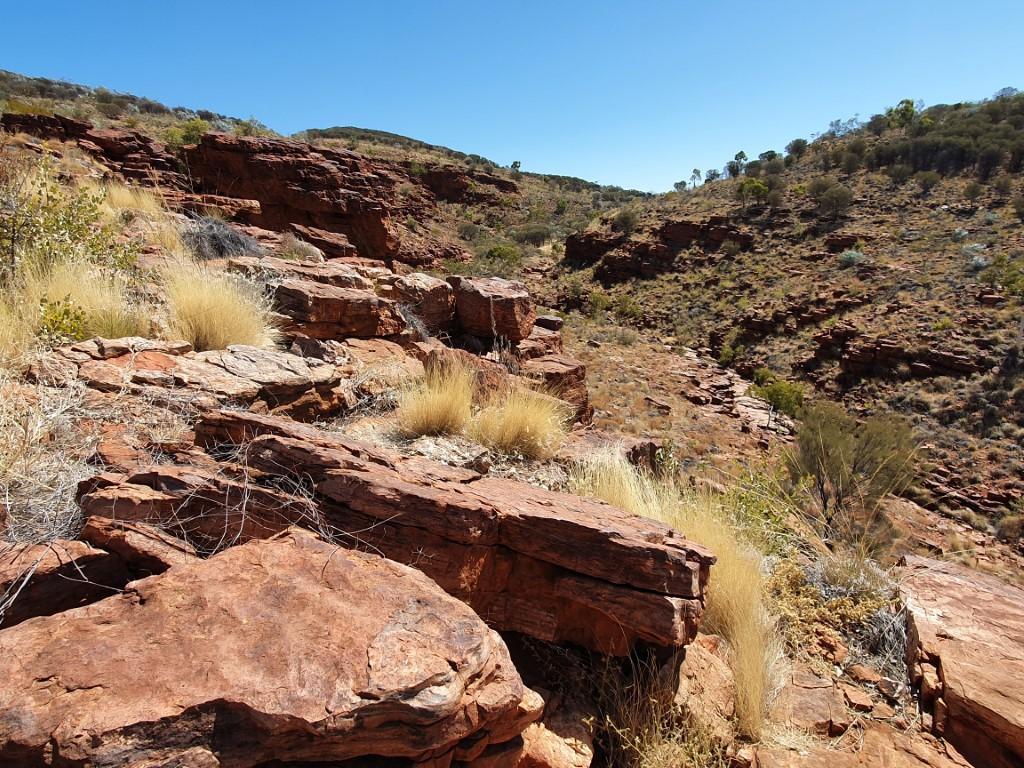
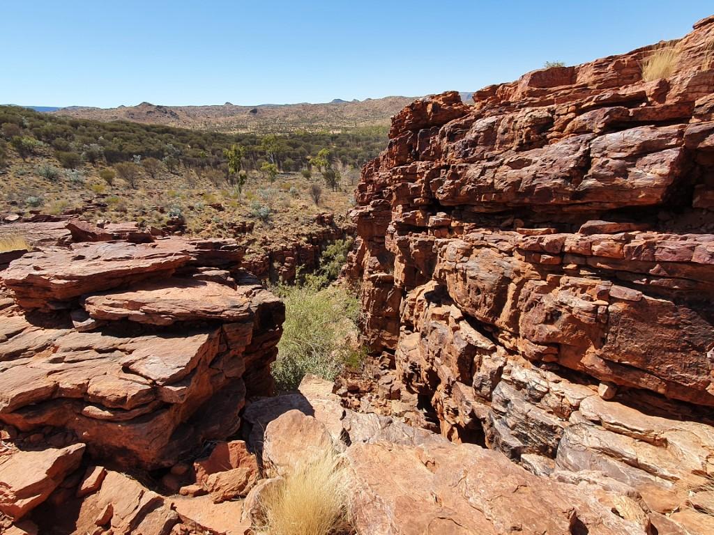
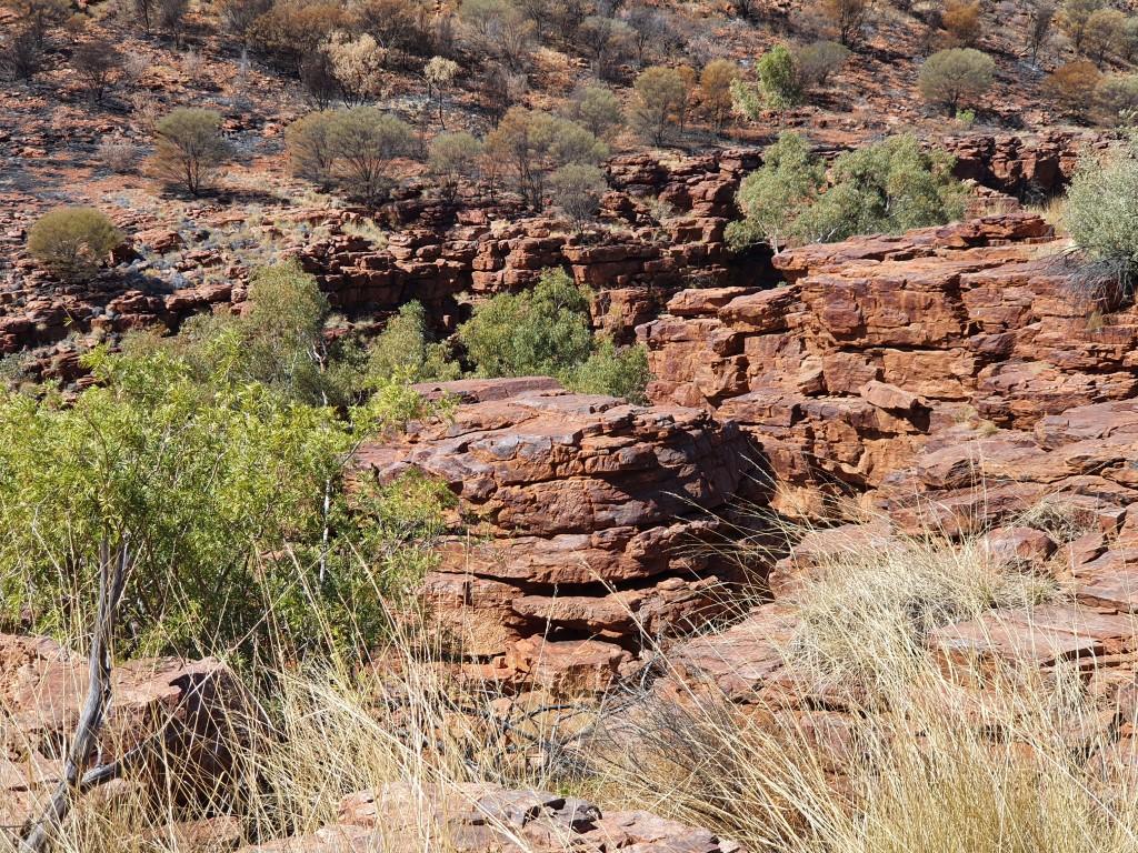
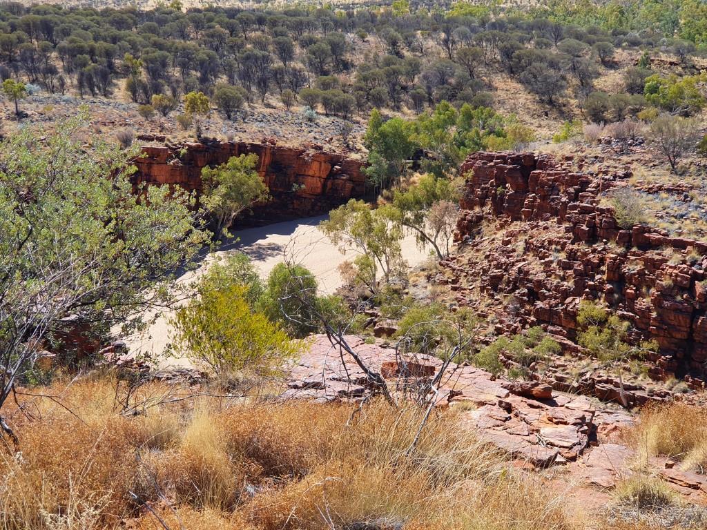
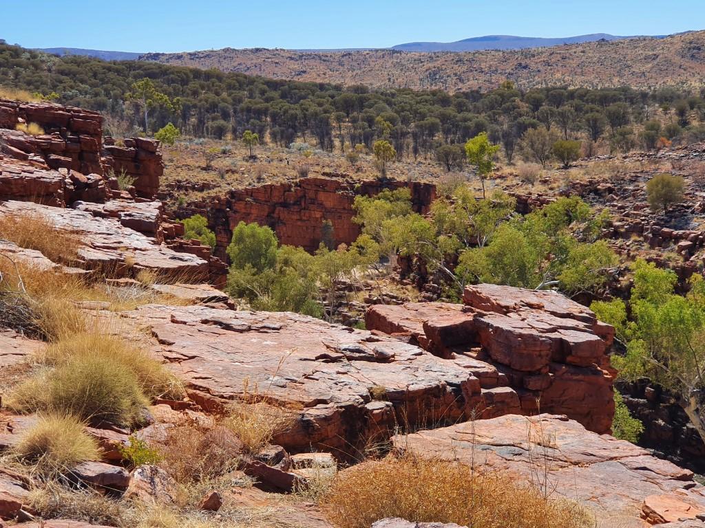
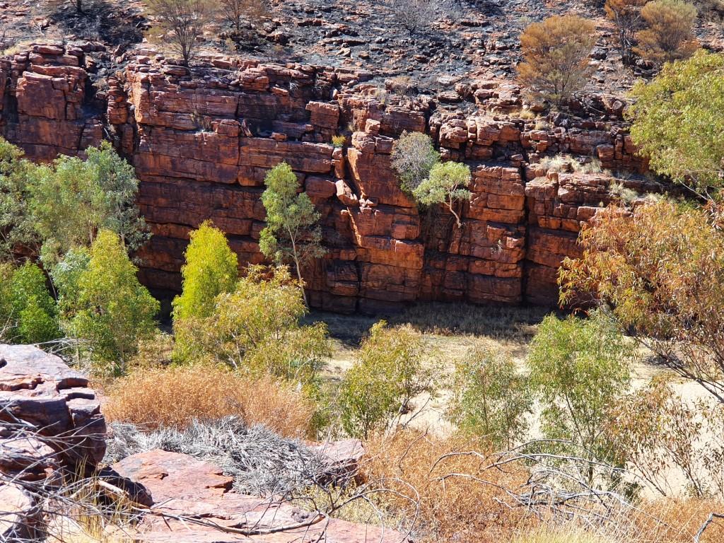
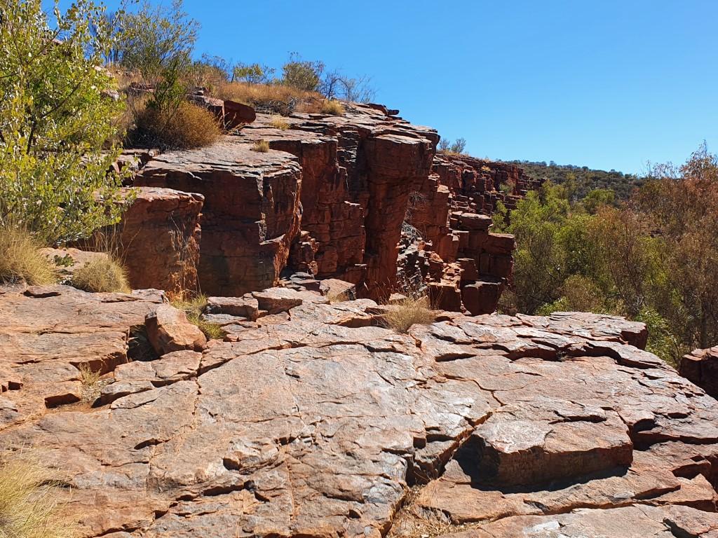
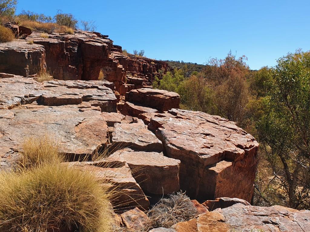
There was a nice hike up onto the gorge walls that provided a lookout view into the gorge as well as being able to walk along the sandy bottom.

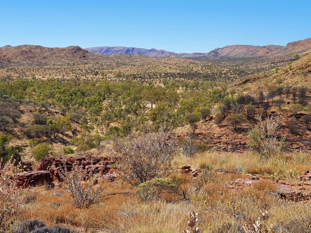
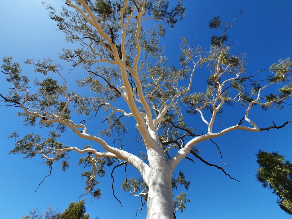
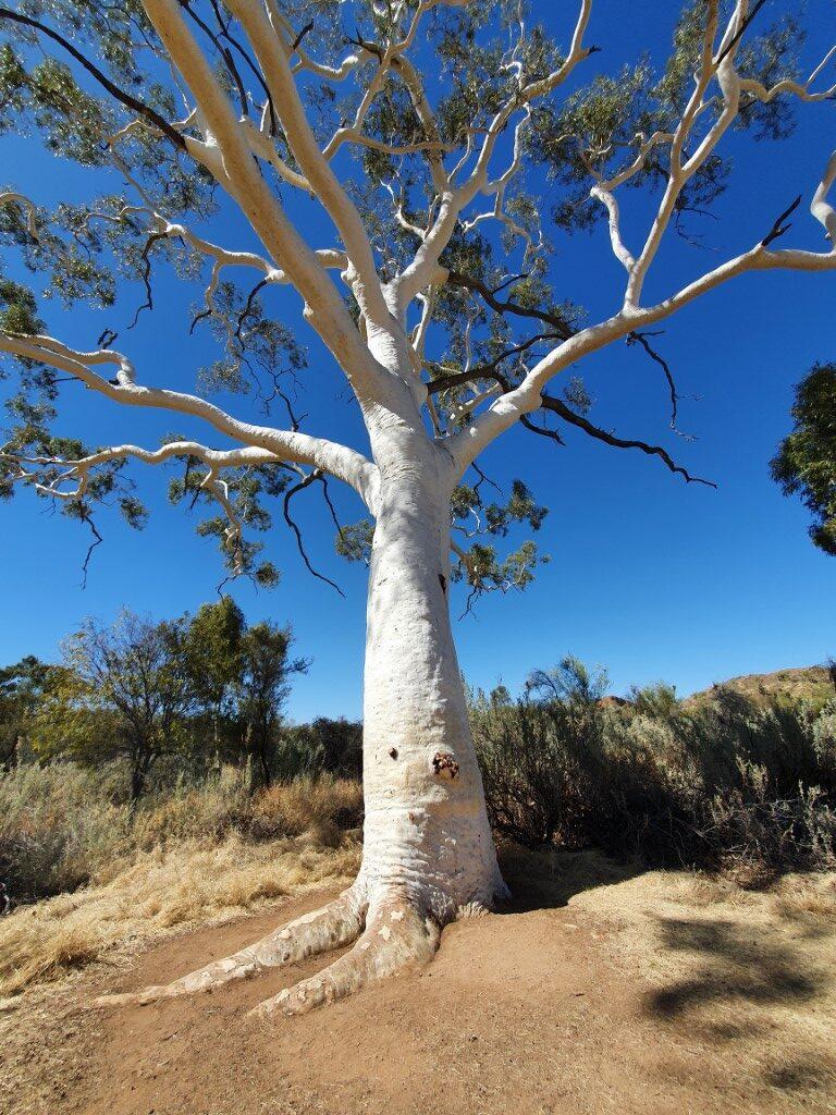
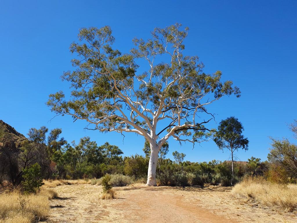
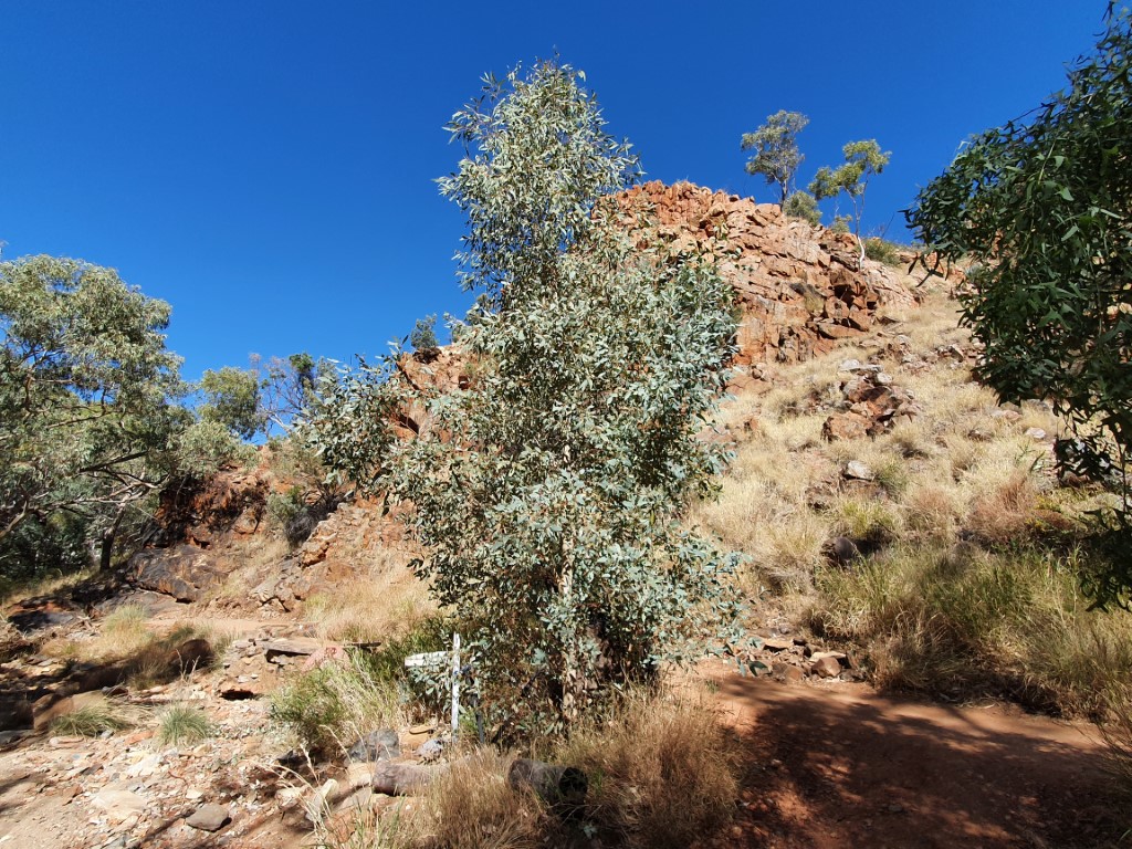
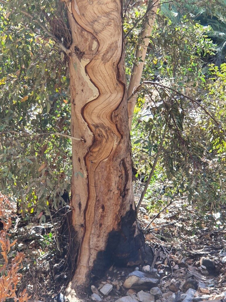
Nearby to Trephina Gorge is a magnificent 300 year old ghost gum that towers up out of the ground with some younger smaller ghost gums dotting the landscape around it. These wonderful trees survive by sending down deep tap roots to find the ground water below.
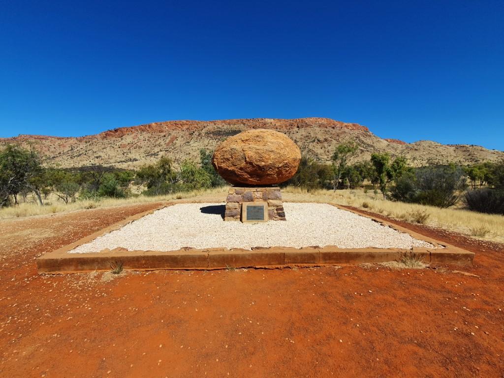
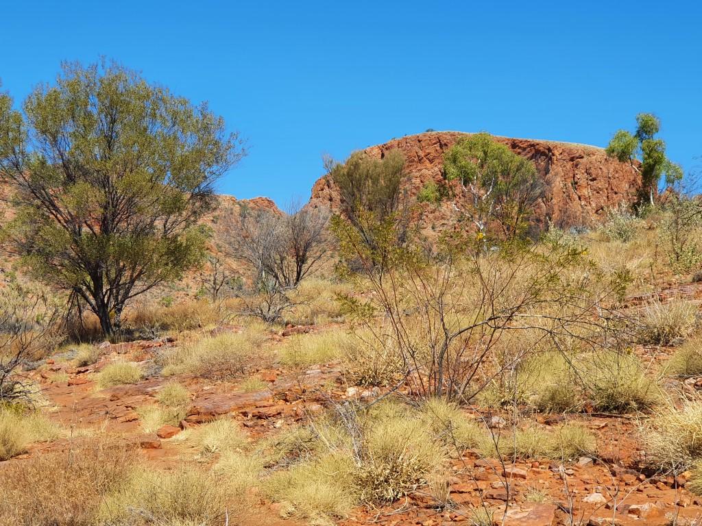
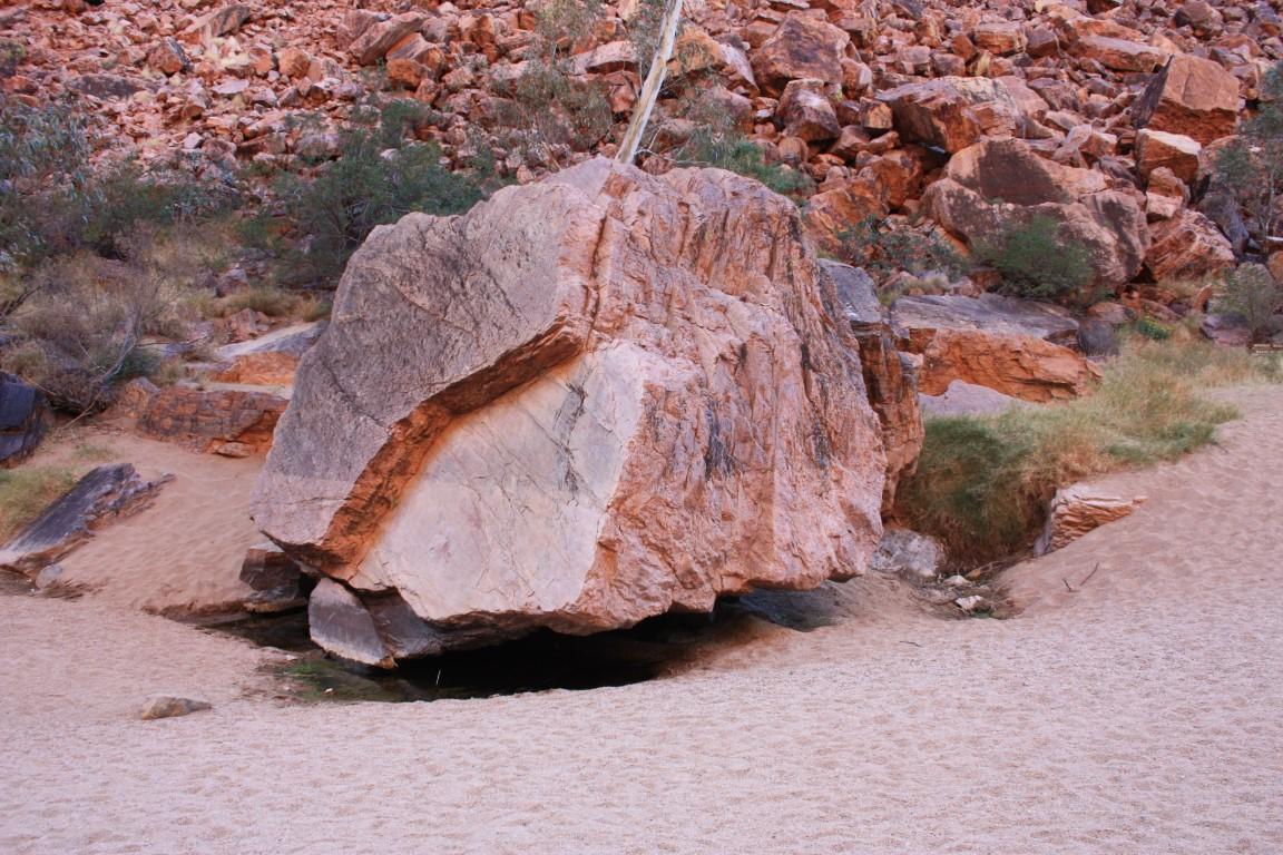
Corroboree Rock
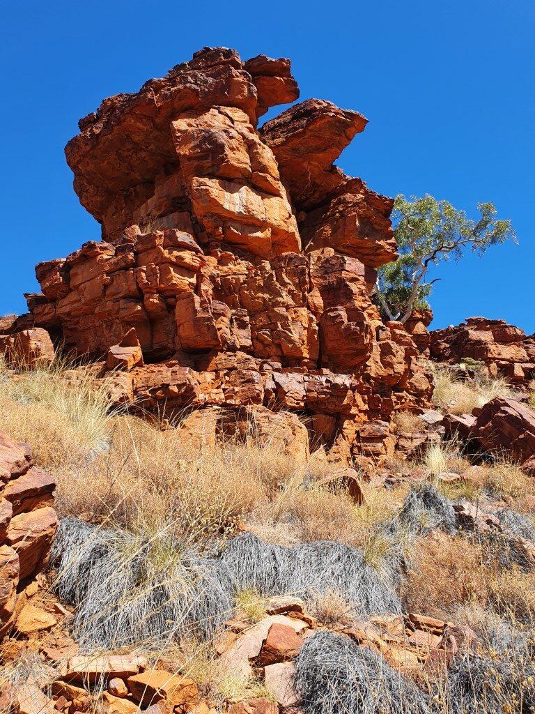
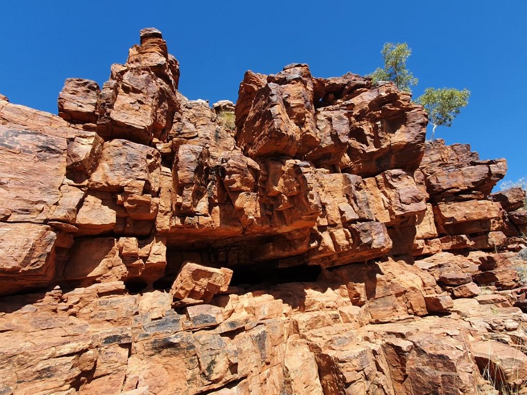
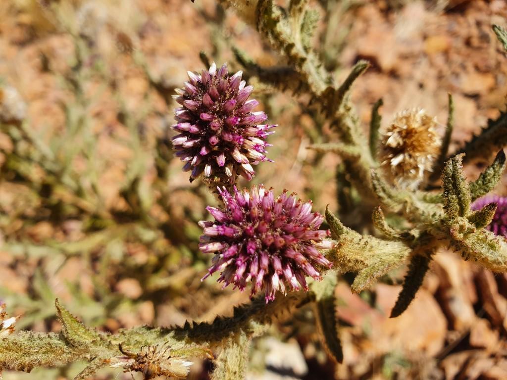
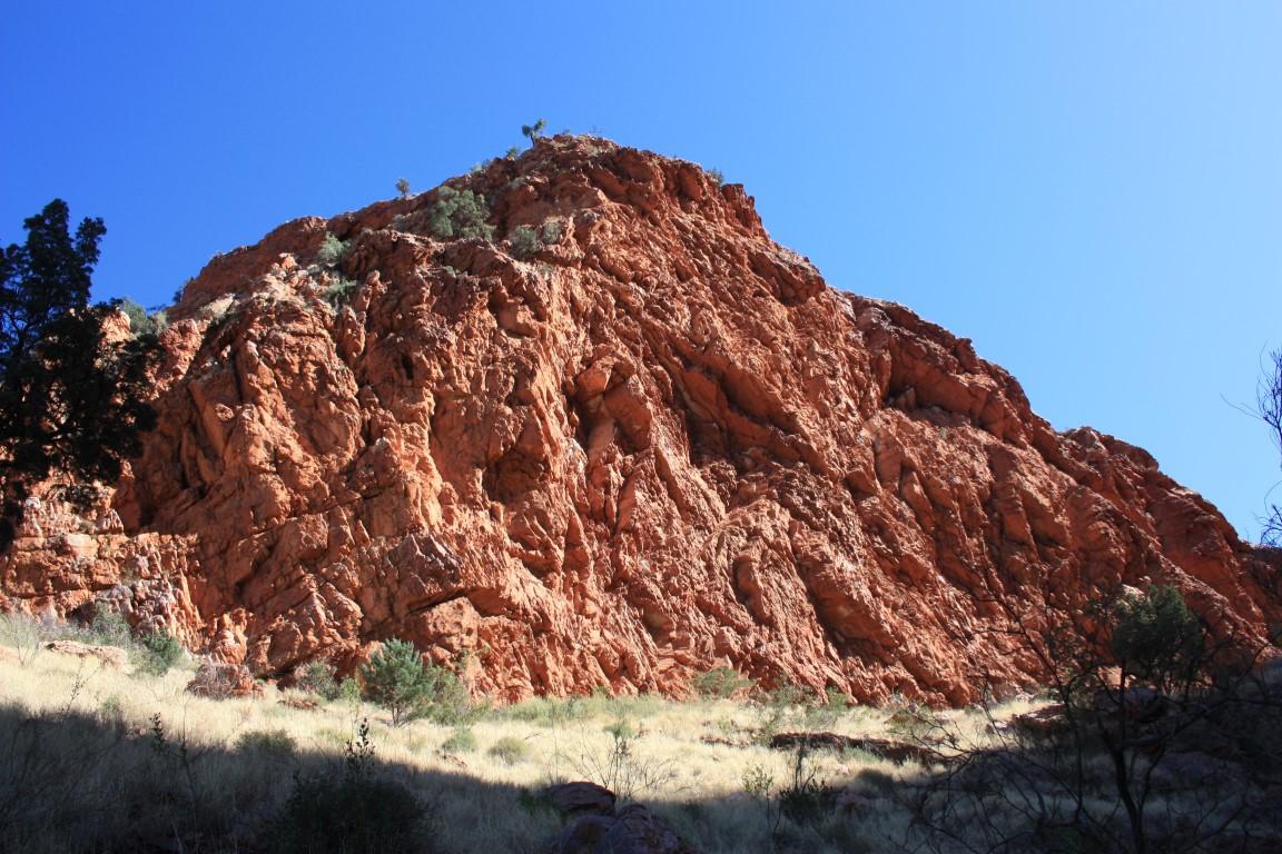
Corroboree Rock is an interesting rock crop that appears quite large as you approach with a dome like appearance. As you move towards one side you suddenly discover that it is very thin and even has some holes through in some places. It is very visually deceptive.
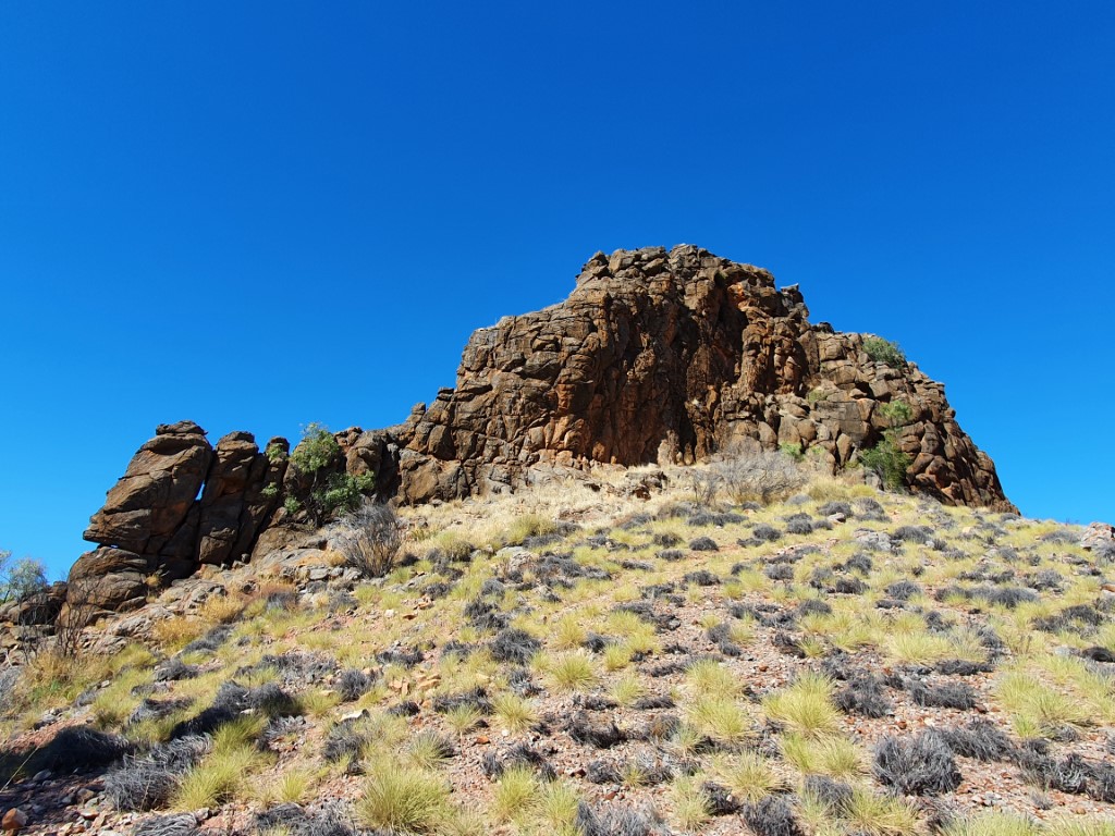
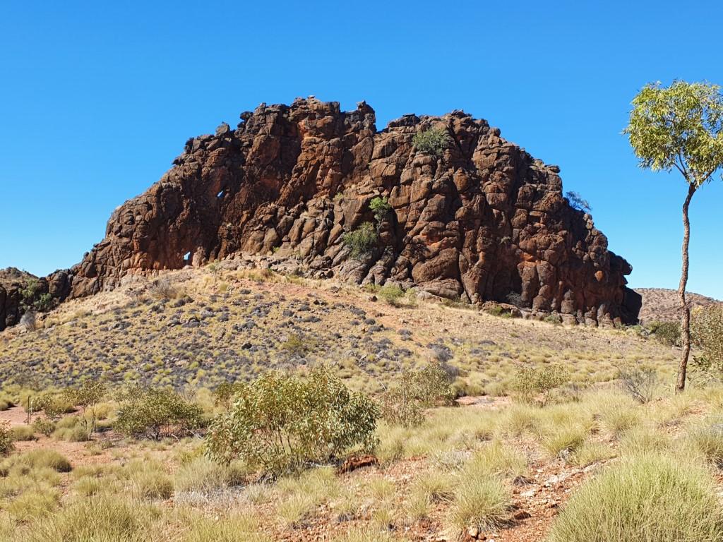
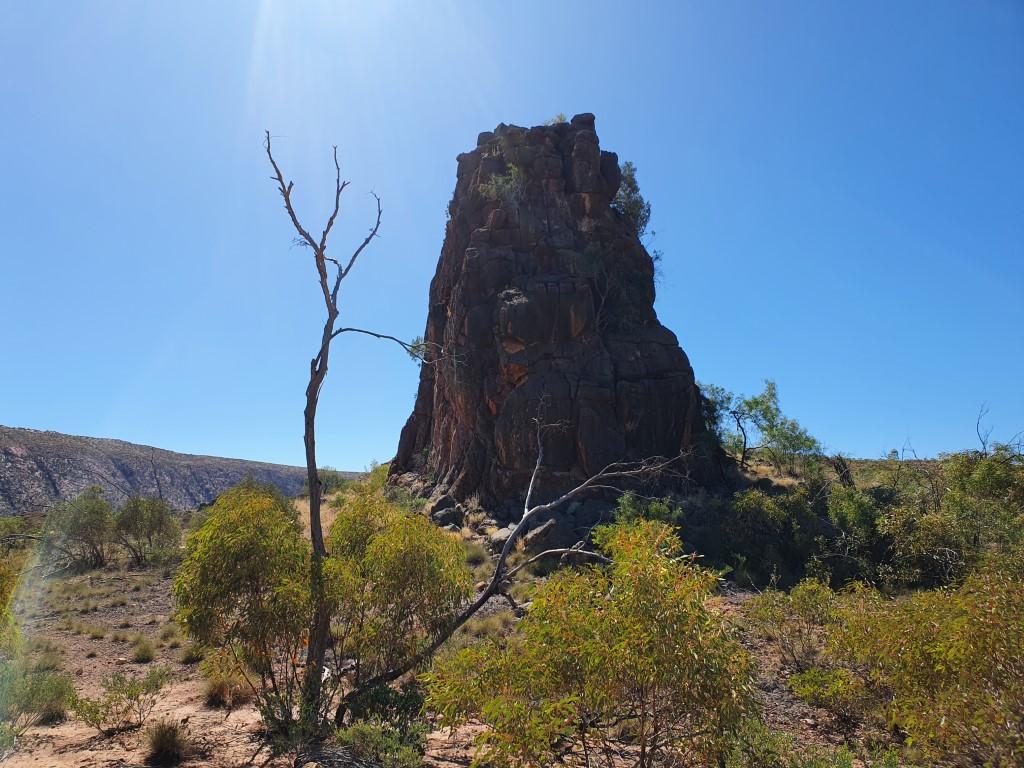
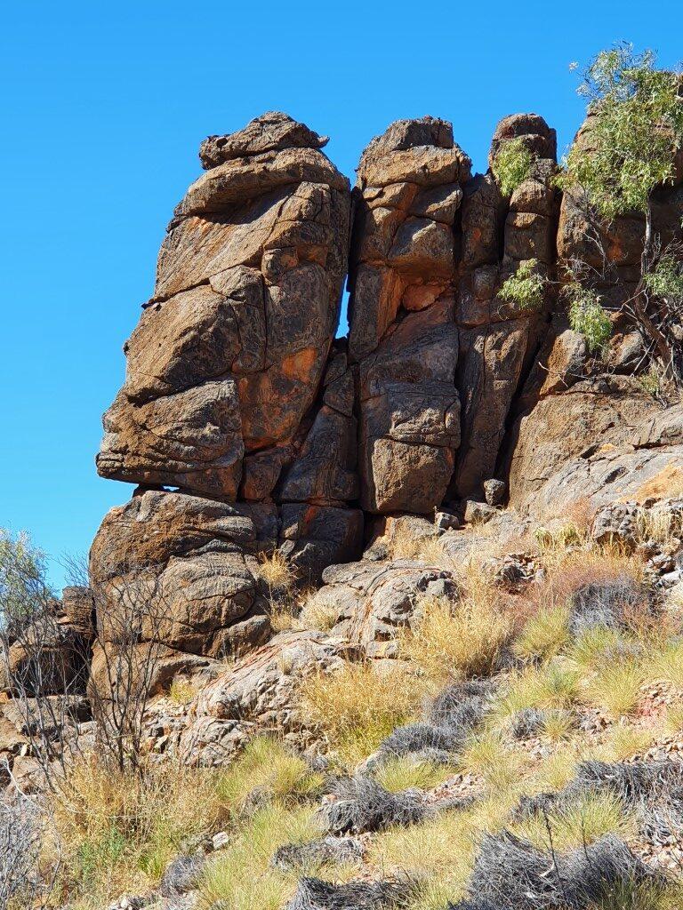
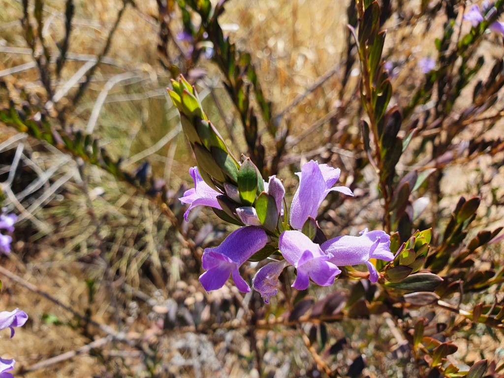
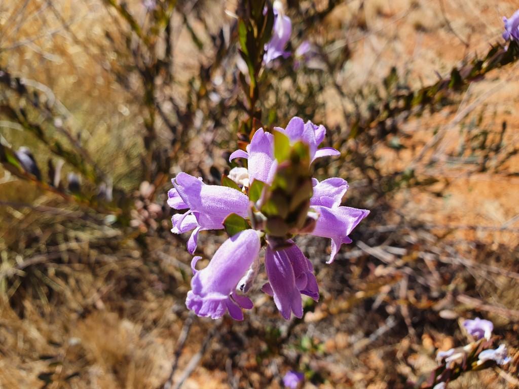
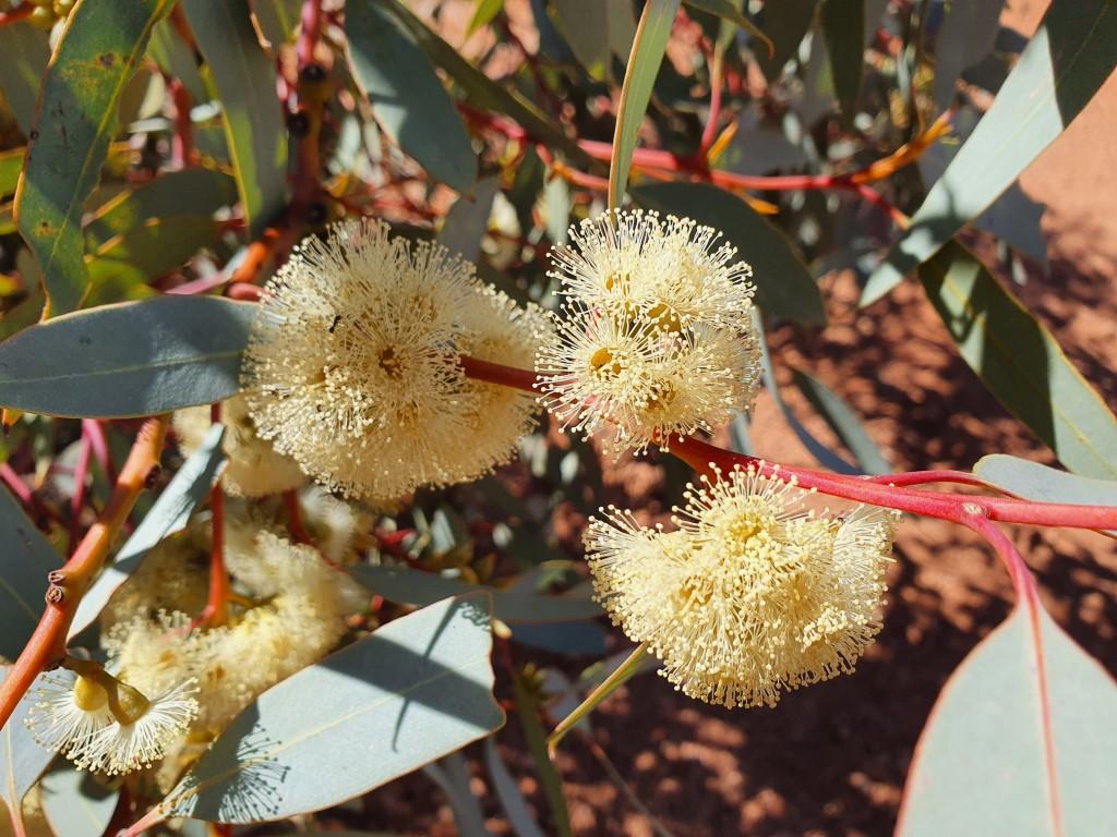
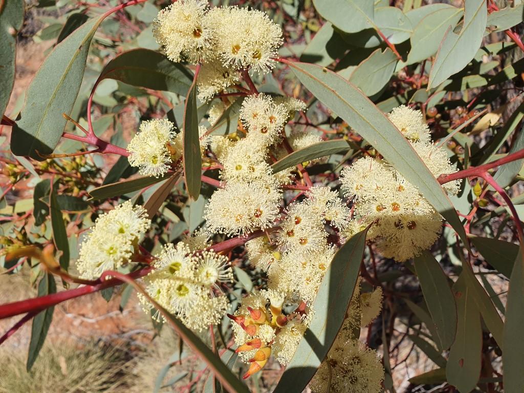
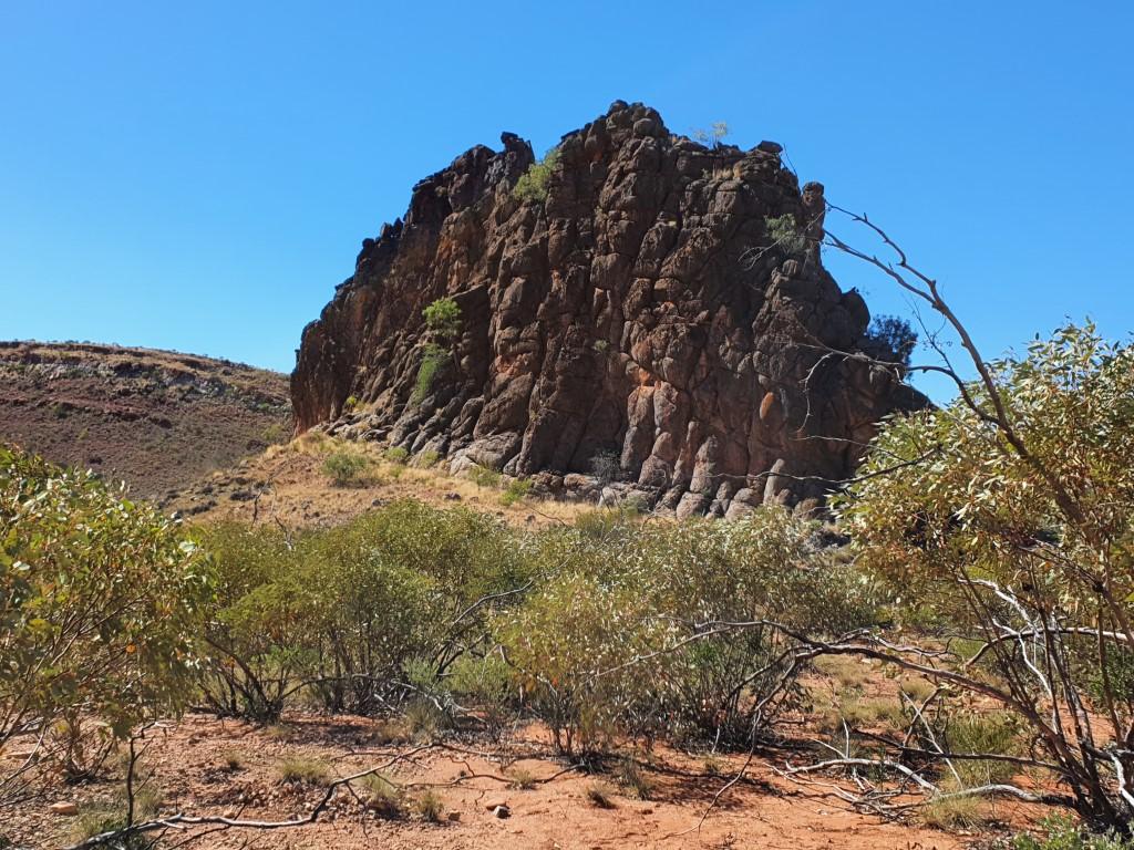
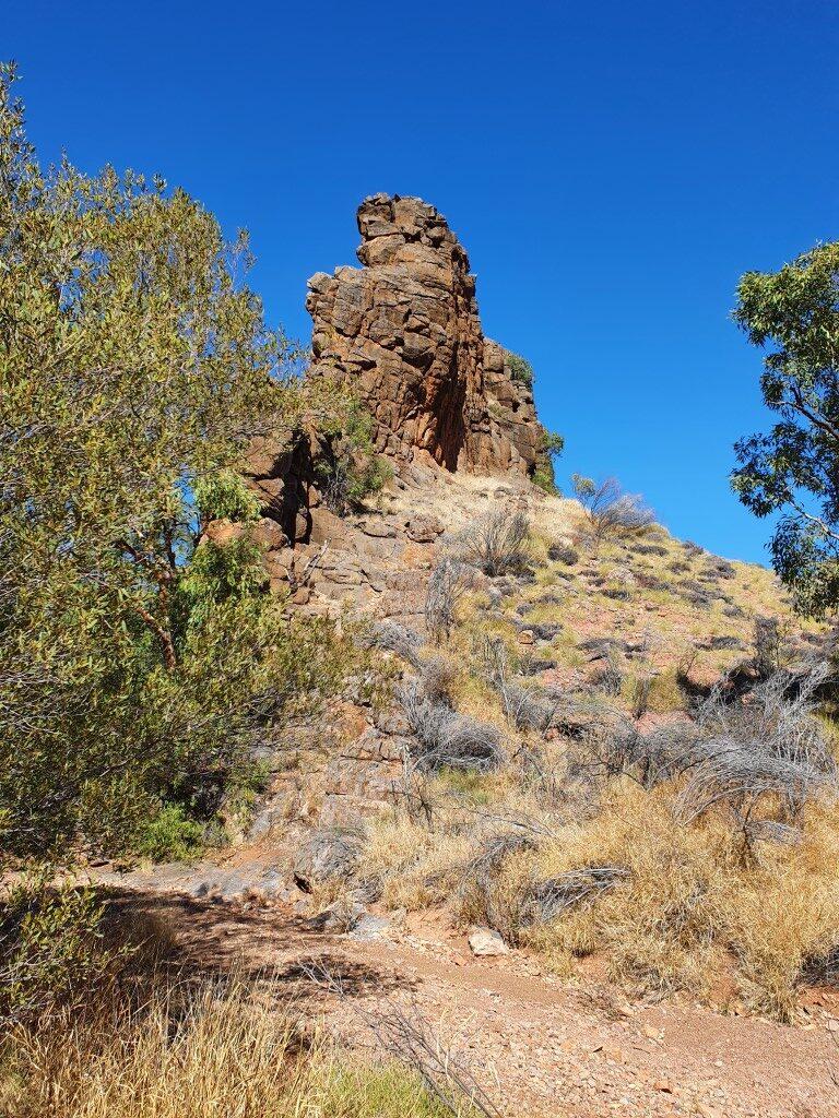
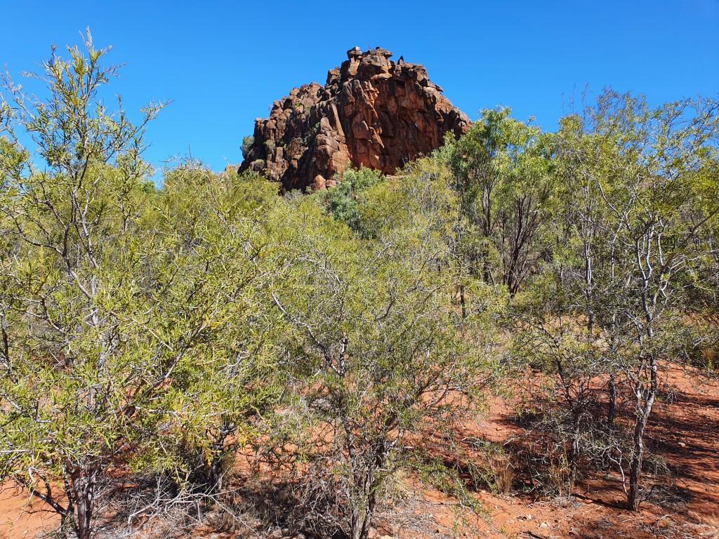
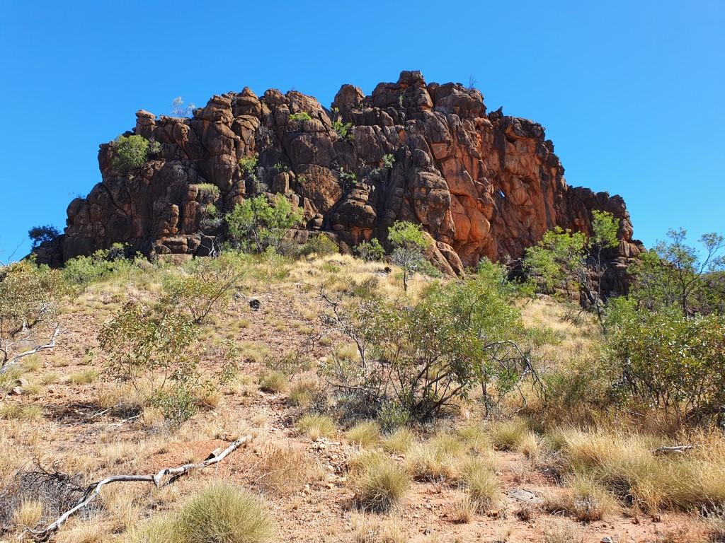
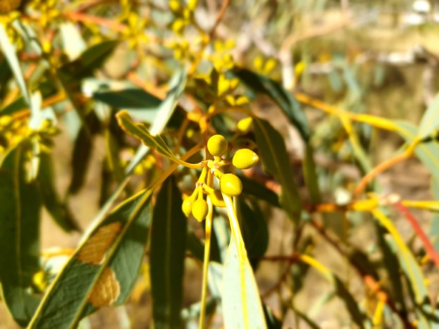
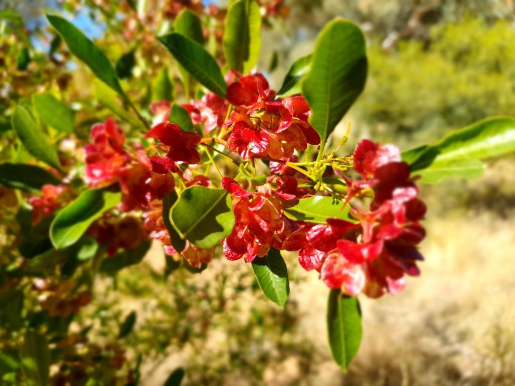
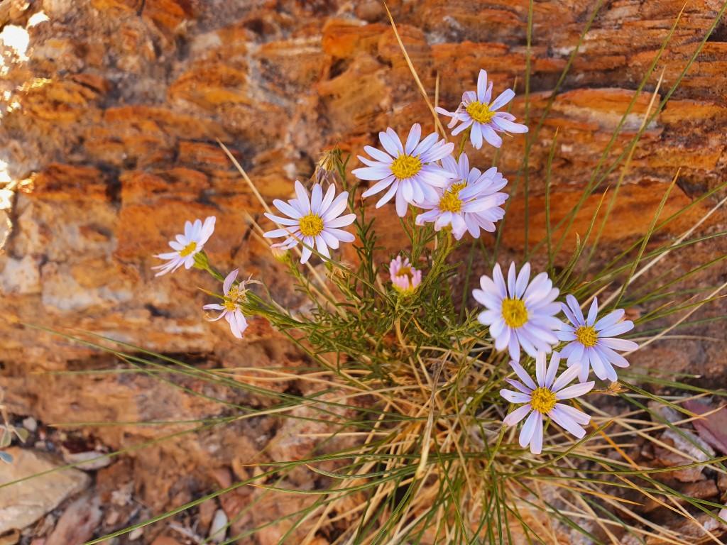
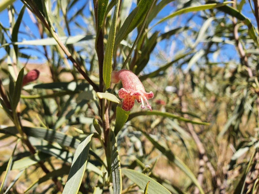
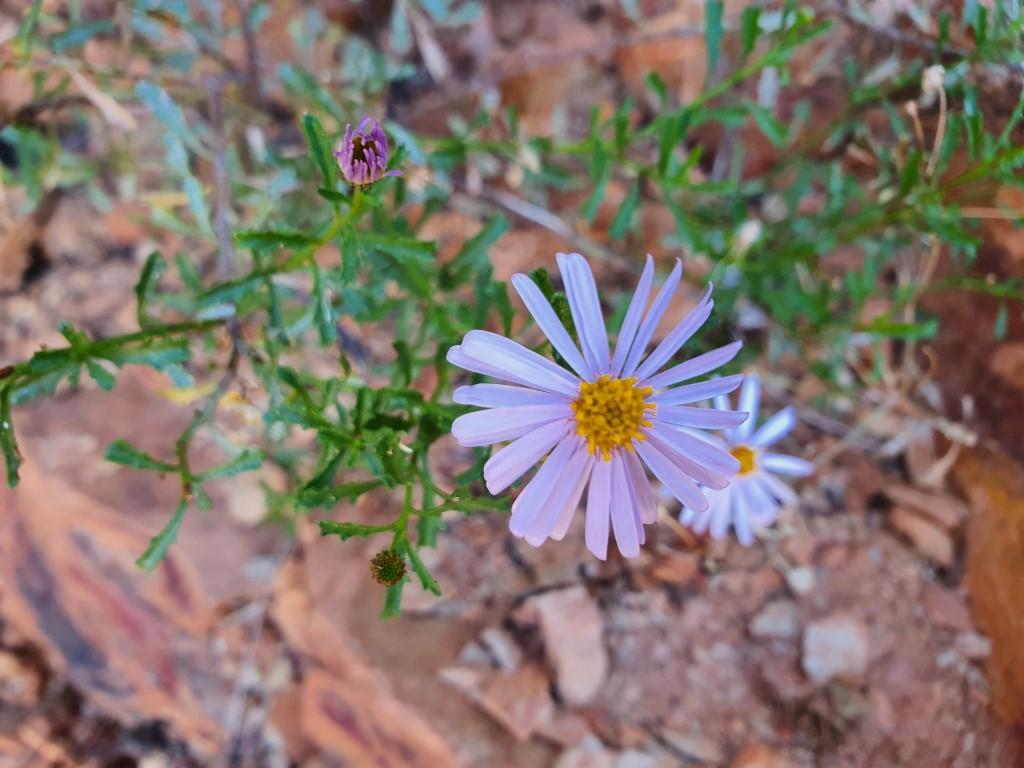
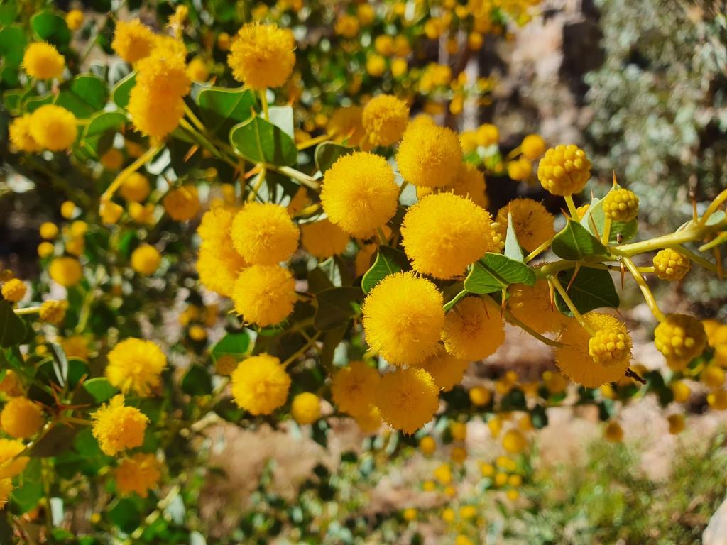
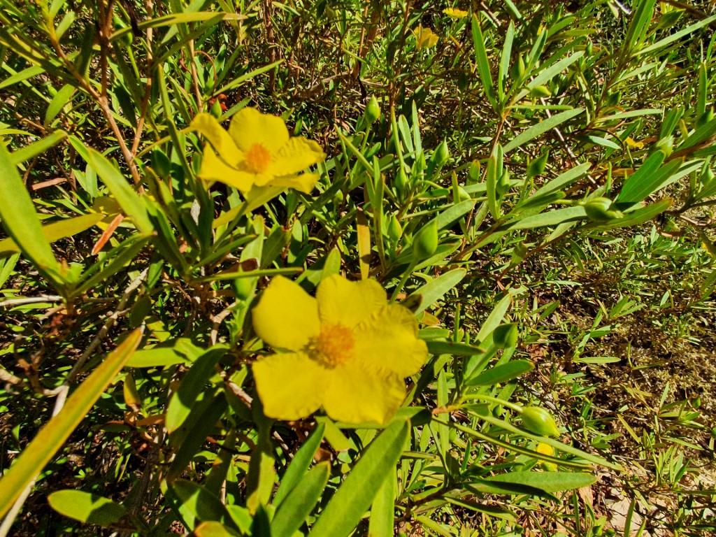
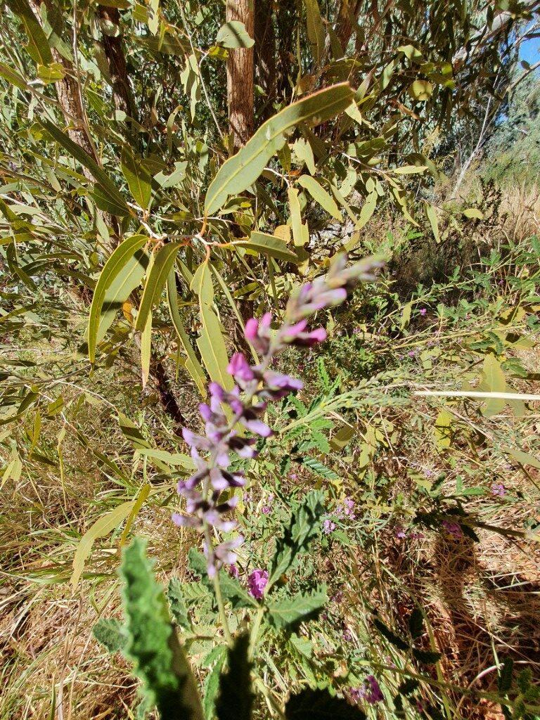
Corroboree Rock is part of a conservation area and is a very sacred men’s site for Arrernte indigenous people. We were able to walk around it and see it from all angles. The area also put on a small show of wild flowers and flowering gum blossoms, which were really quite surprising as we were expecting the whole area to be very sparse and arid. Definitely not the case.
Ross River Resort
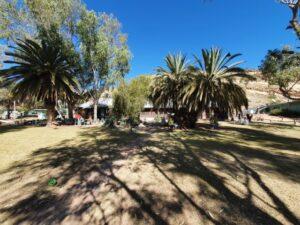
We noticed a sign to Ross River River Resort as we headed east and thought we would drop in and see if we could get some lunch there. It was a complete surprise with a large green grassy lawn area fronting a well maintained homestead,
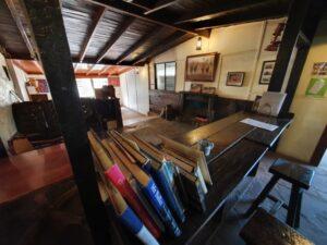
Upon entering we found a cosy, rustic interior that also had a massive additional bar and cafe area to one side that was built from hardwood sleepers stacked on top of each other and held in place between steel support posts, covered over with galvanised roof sheeting.
The bar area had all sorts of homestead memorabilia on display as well as some local fauna, i.e. snake and lizard skeletons. The beer was cold and the food was excellent. They provided a ‘loaner’ stubby holder for my beer and Jo decided, once again, to have calamari as far away from the coast as possible!
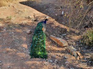
The homestead grounds were home to a flock(?) of peacocks and peahens that wandered around endlessy pecking at the ground for tasty morsels.
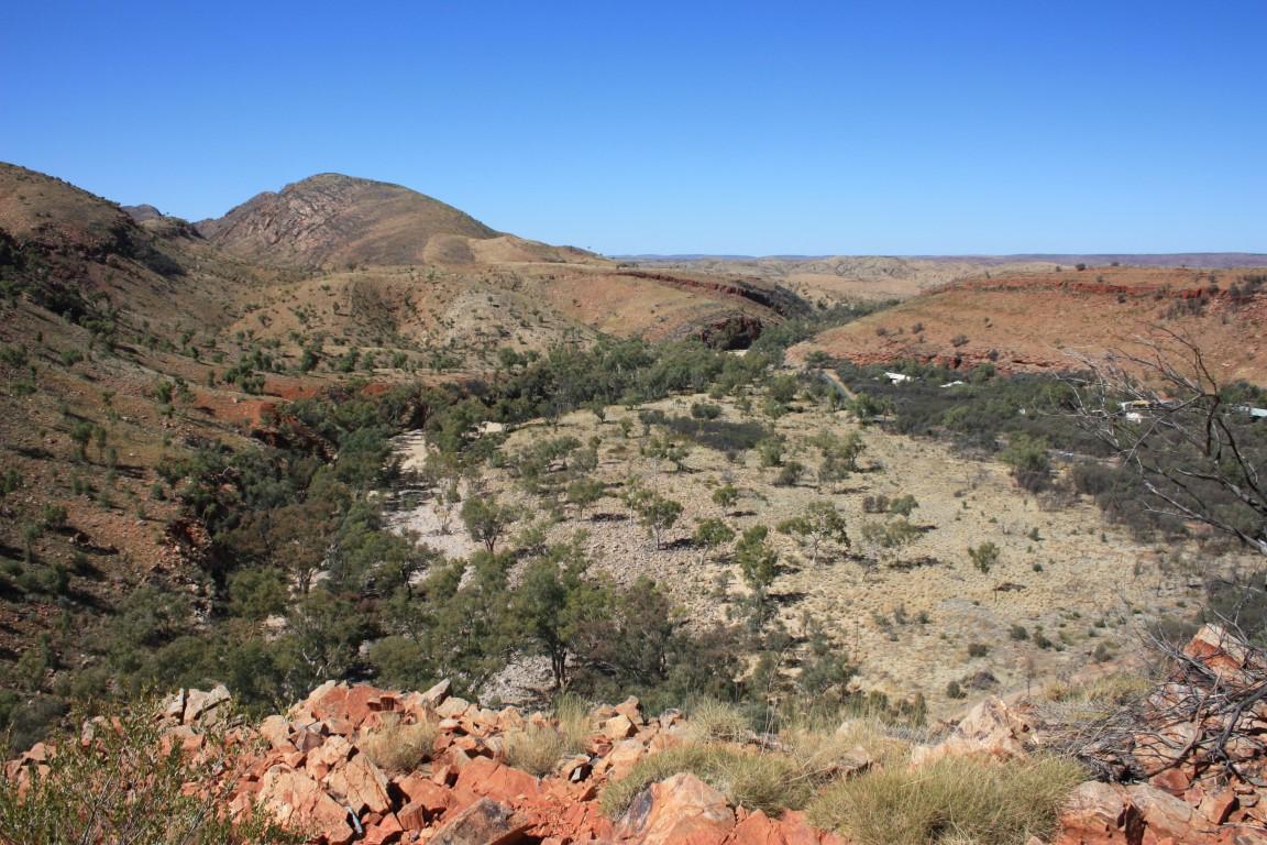
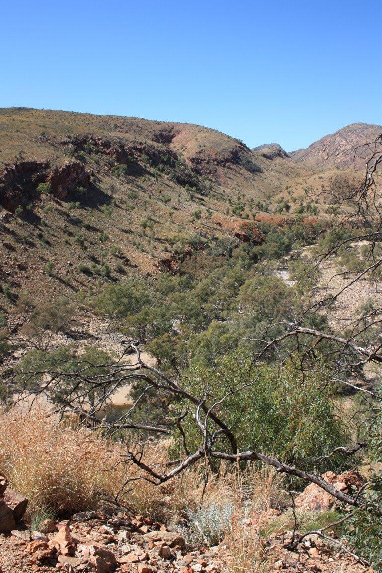
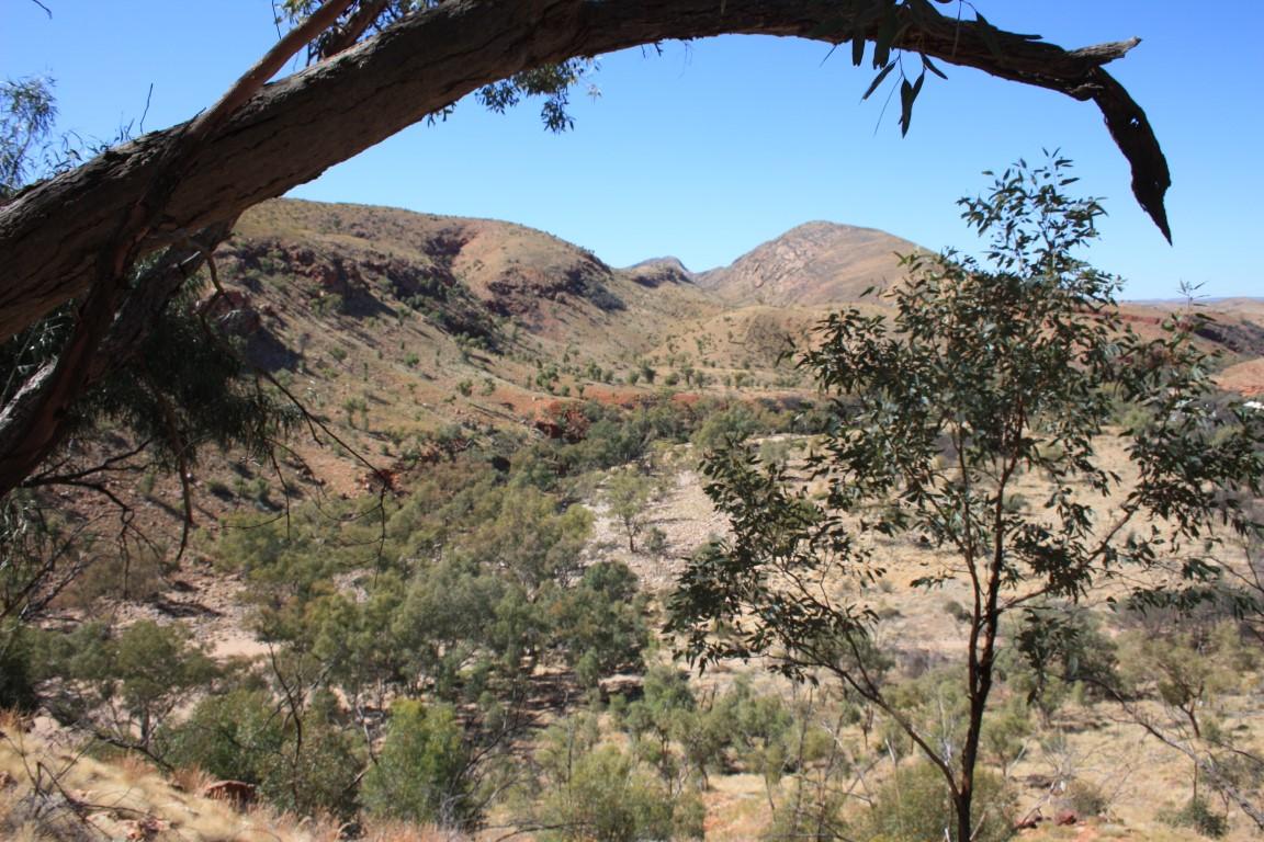
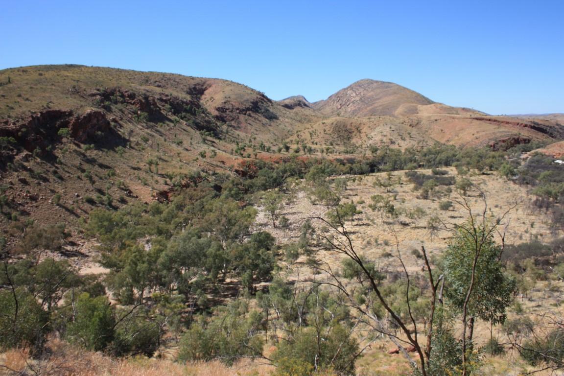
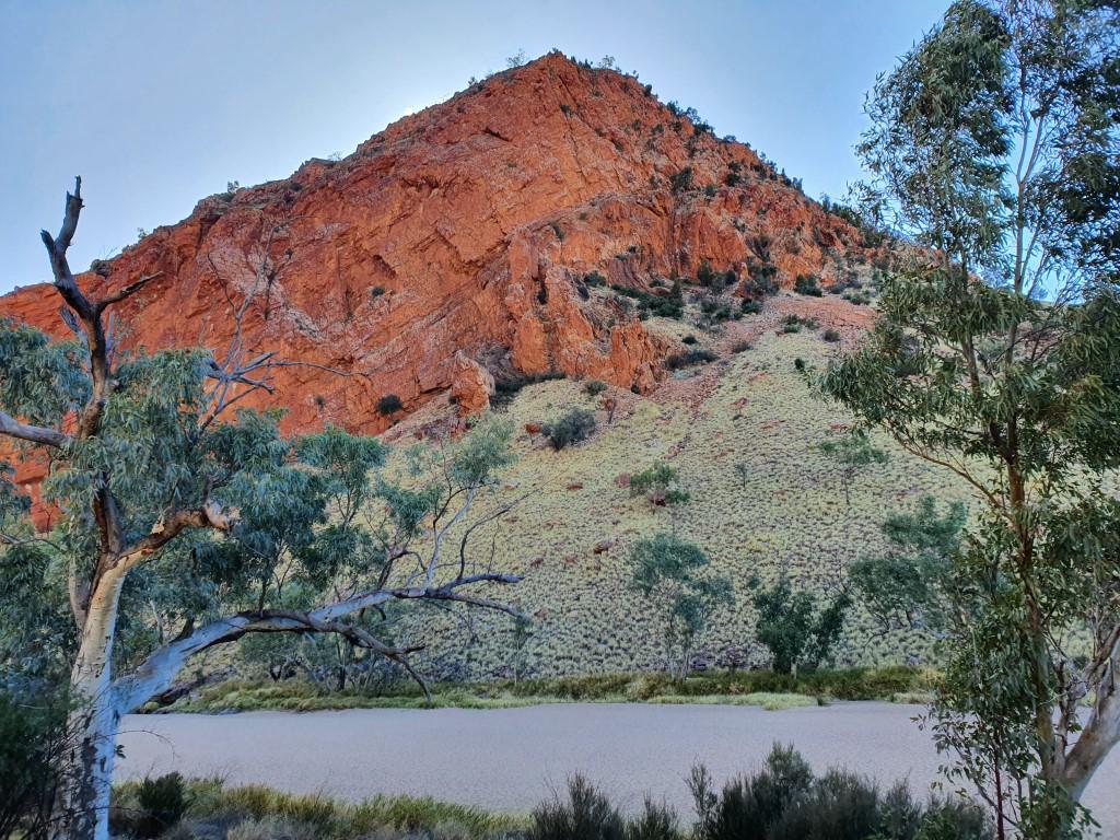
Mount Sonder Lookout
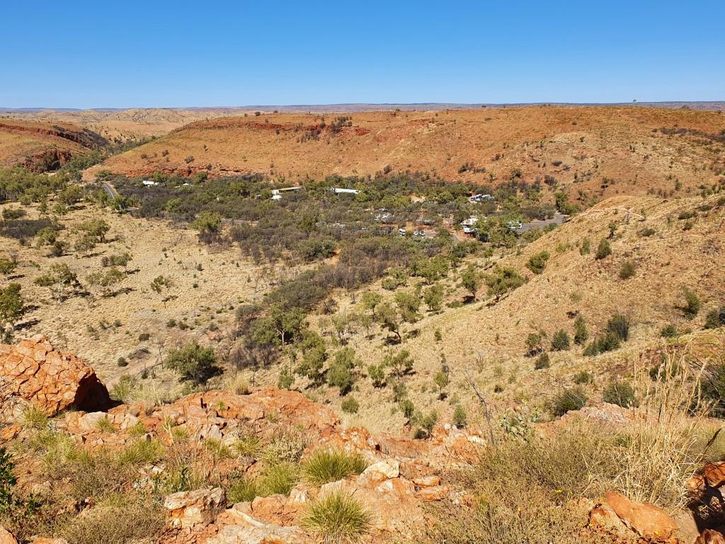
Unlike the previous day, we decided to tackle the West MacDonnell Ranges by driving out to our furthest point first and progressively work our way back towards Alice Springs. Our first stop was the Mount Sonder Lookout.
A young woman, and her dog, were at the lookout where she was beginning to paint a water-colour of the view. It seemed like an artists paradise looking out over the Finke River and the plains towards the mountain range.
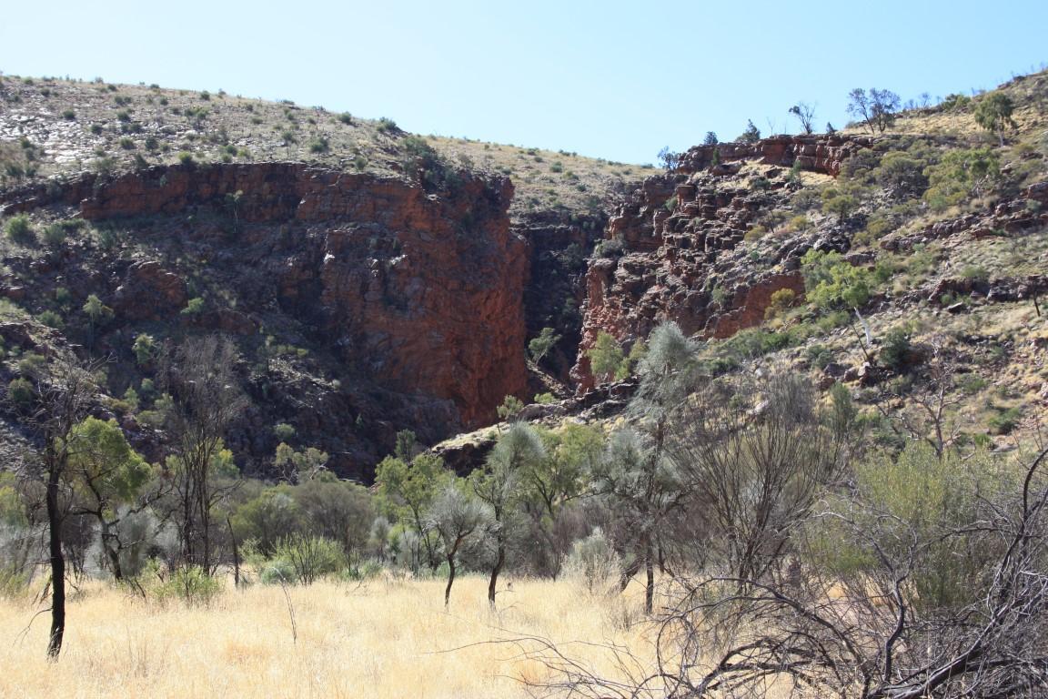
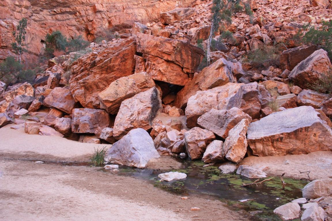
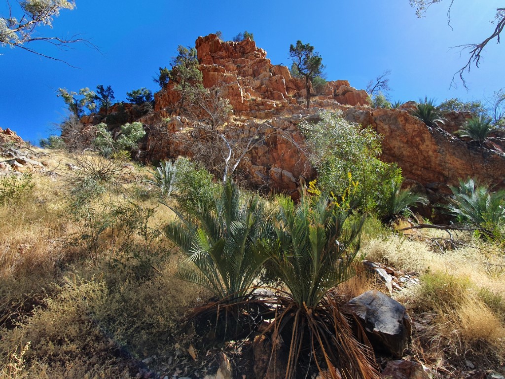
Ormiston Gorge
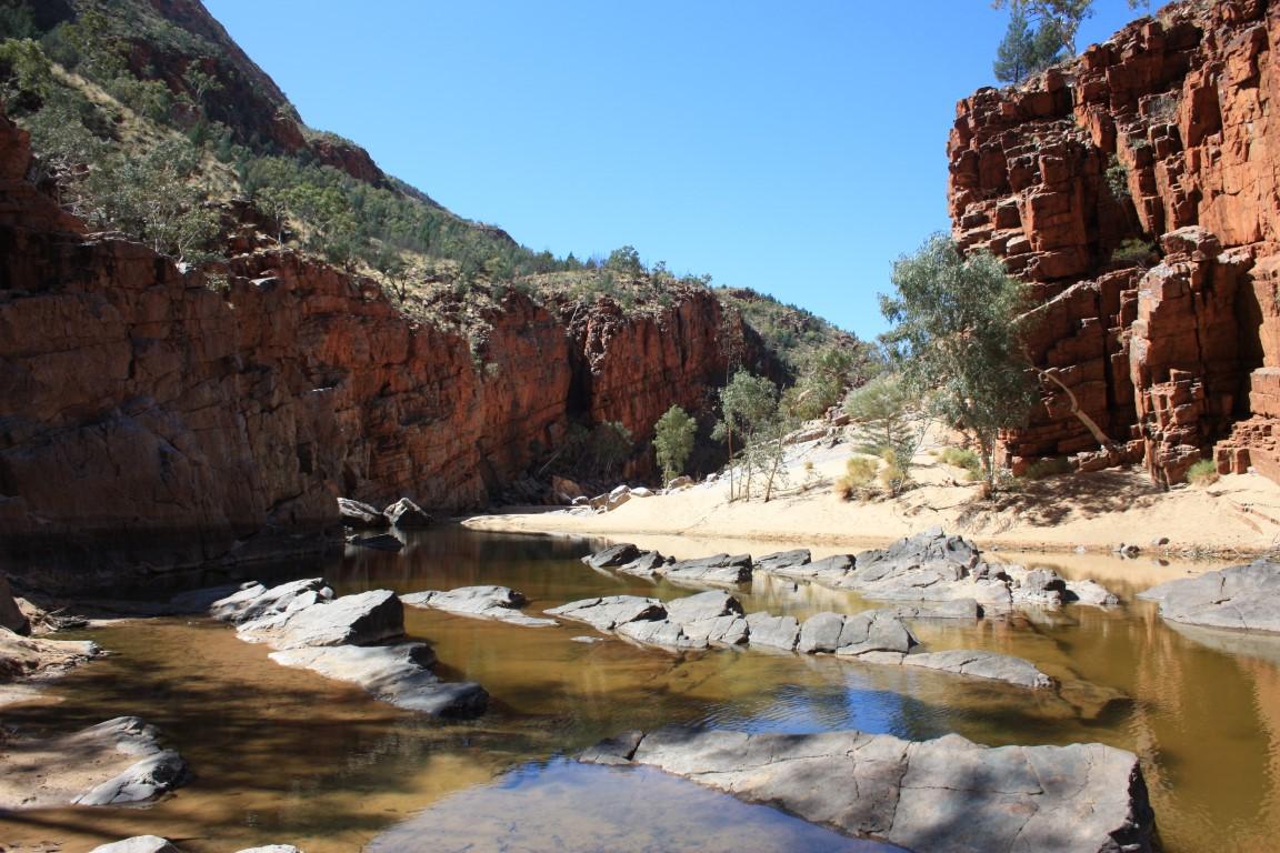
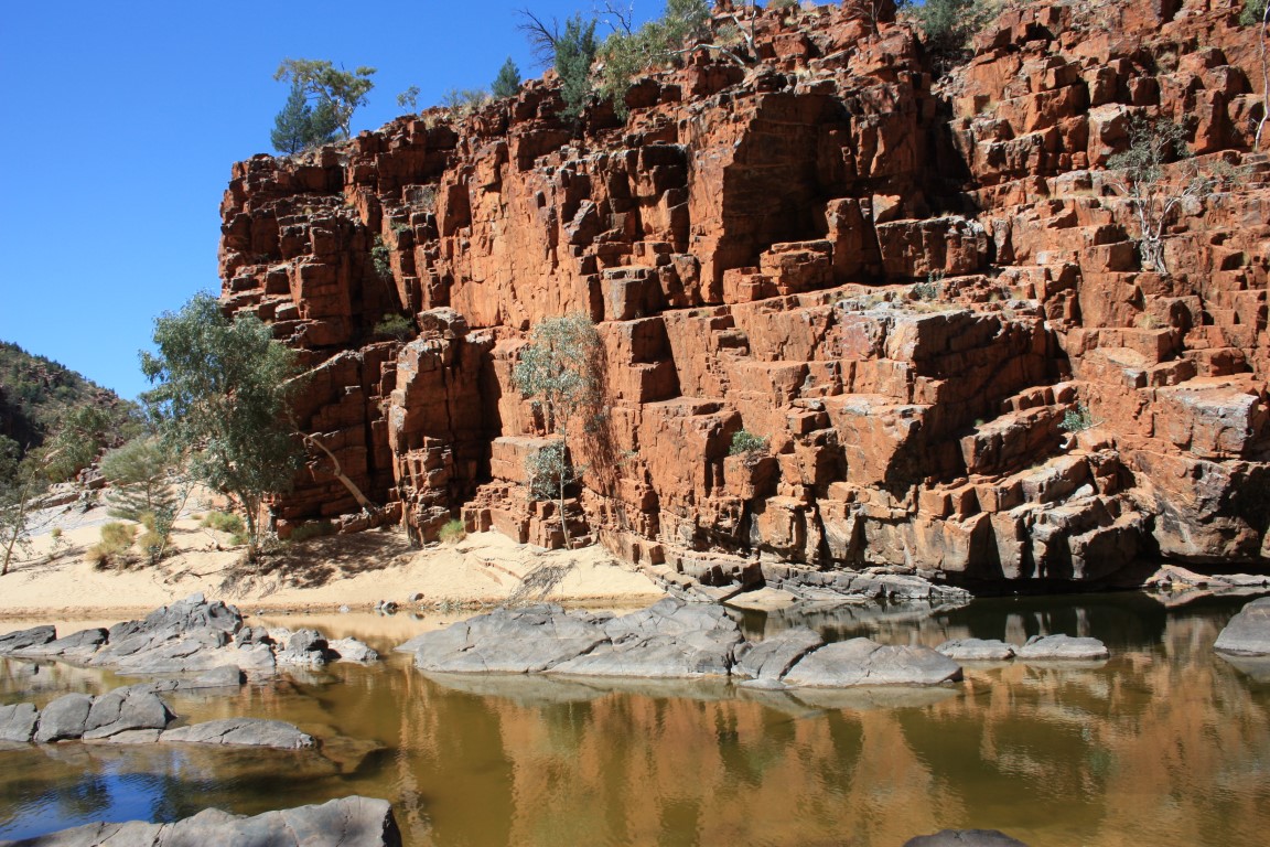
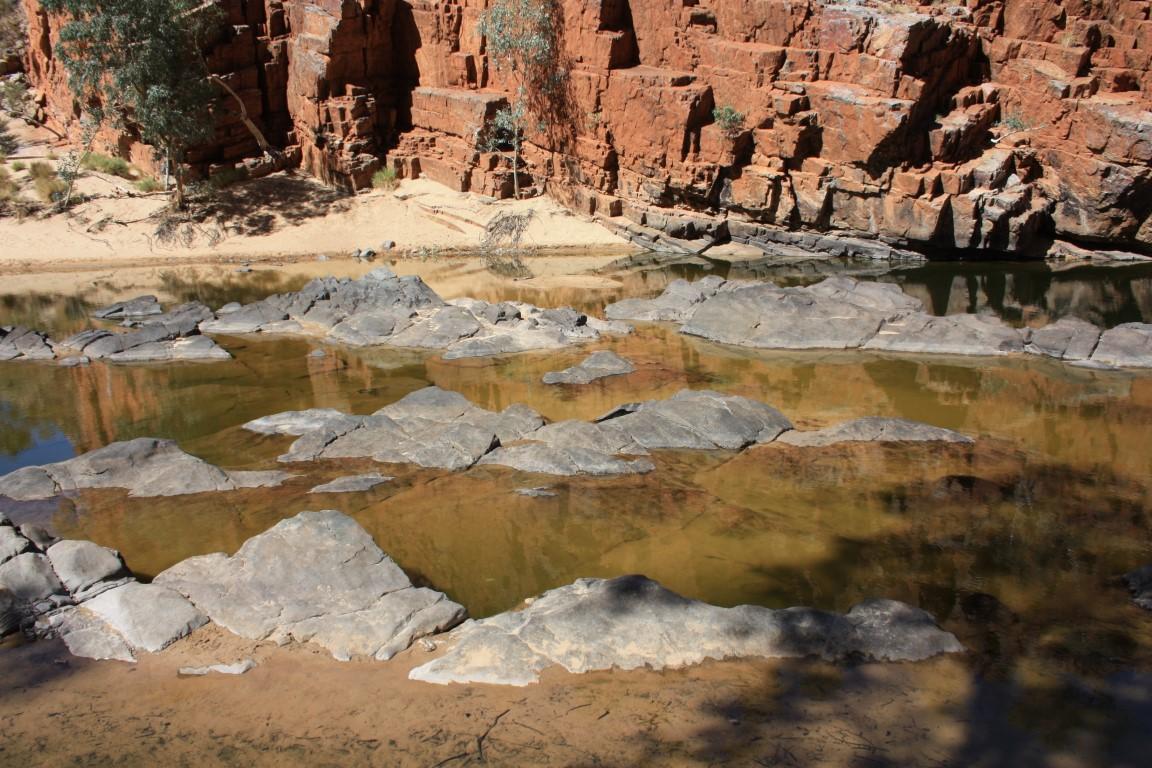
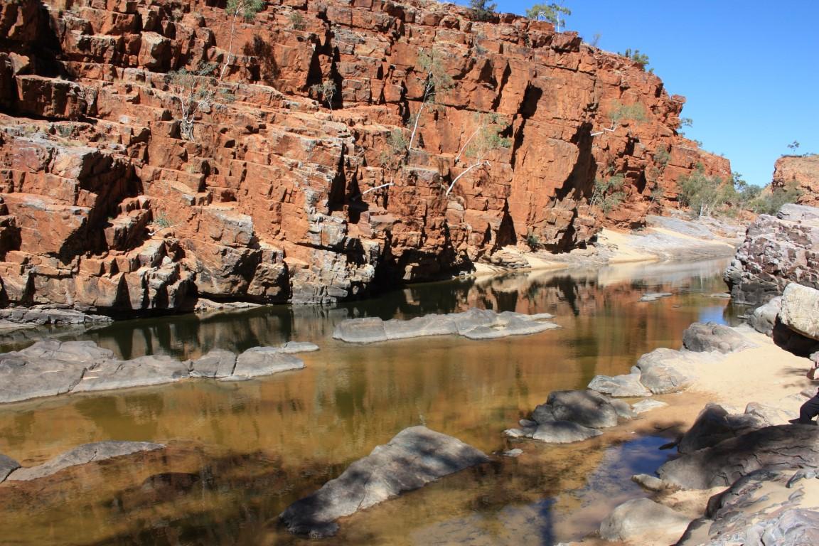
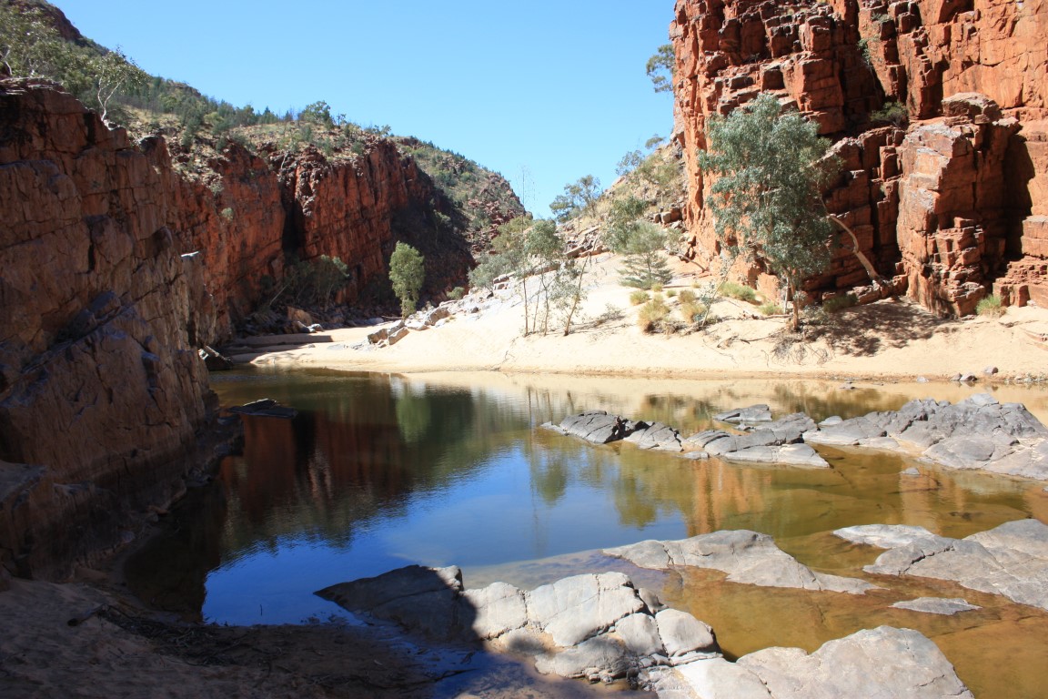
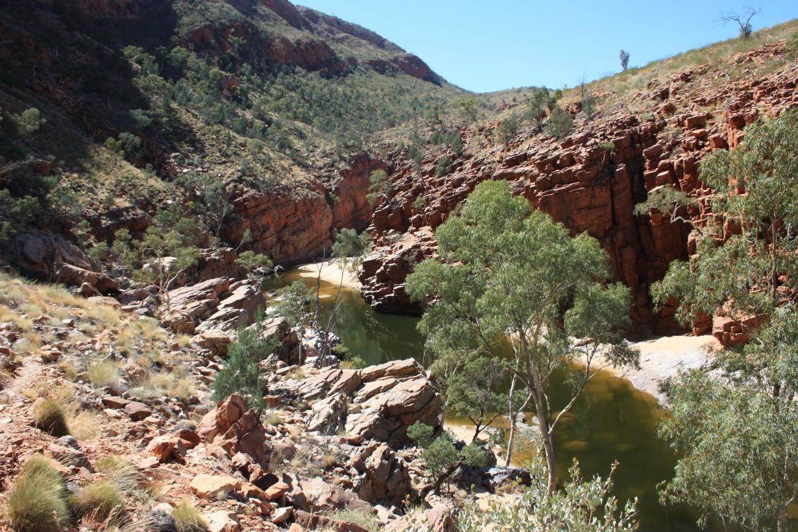
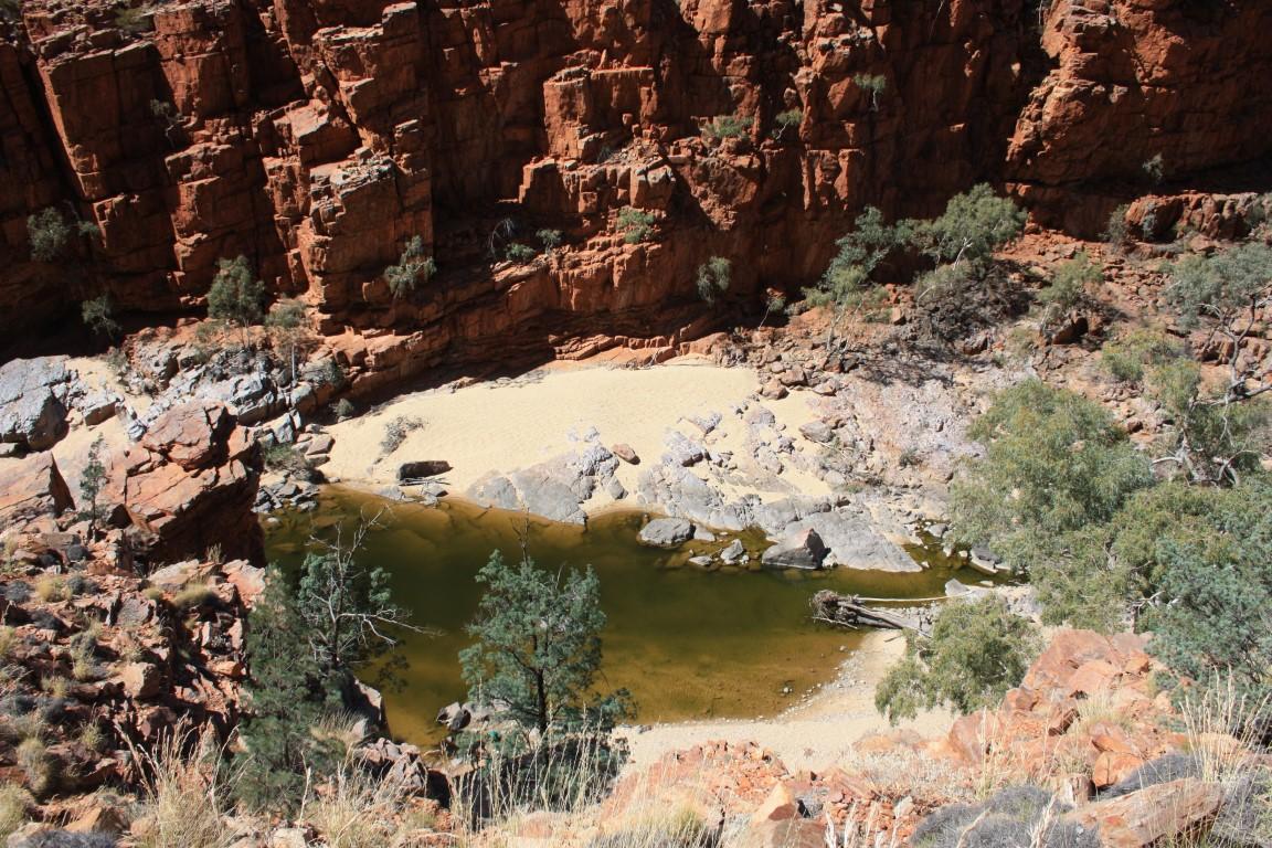
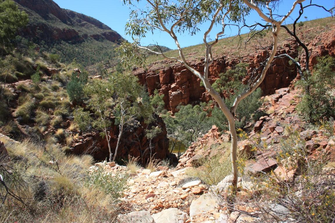
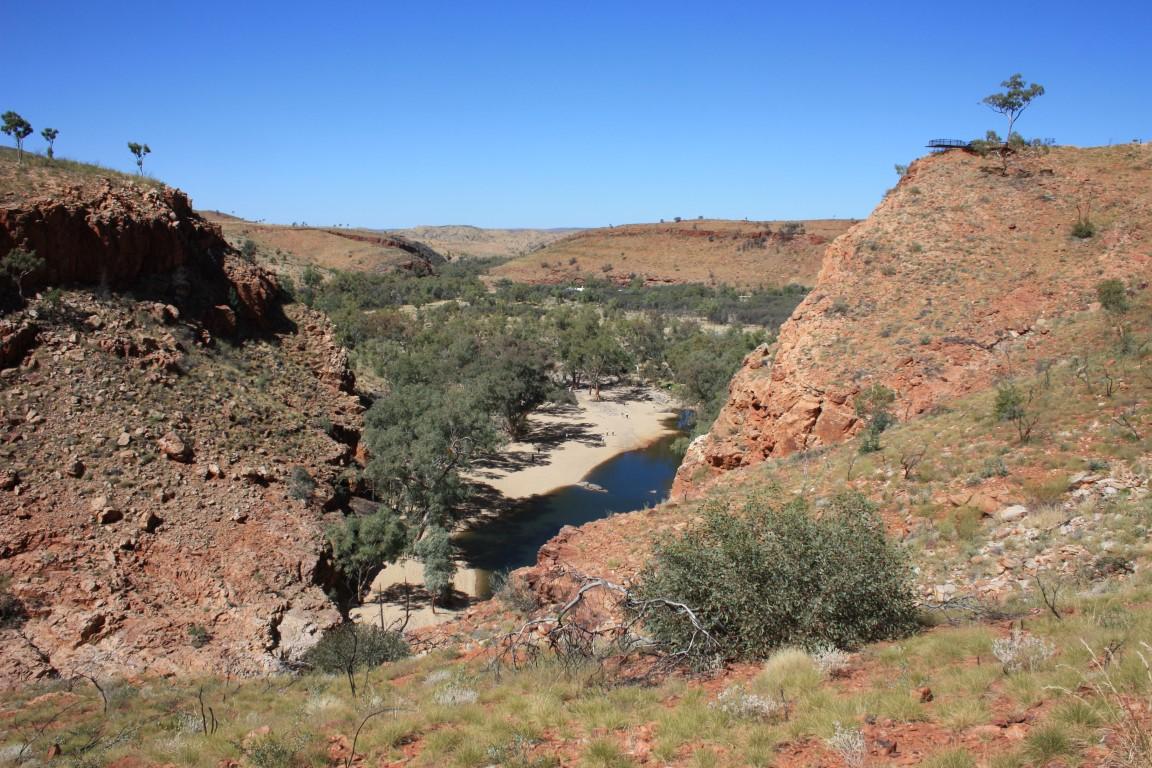
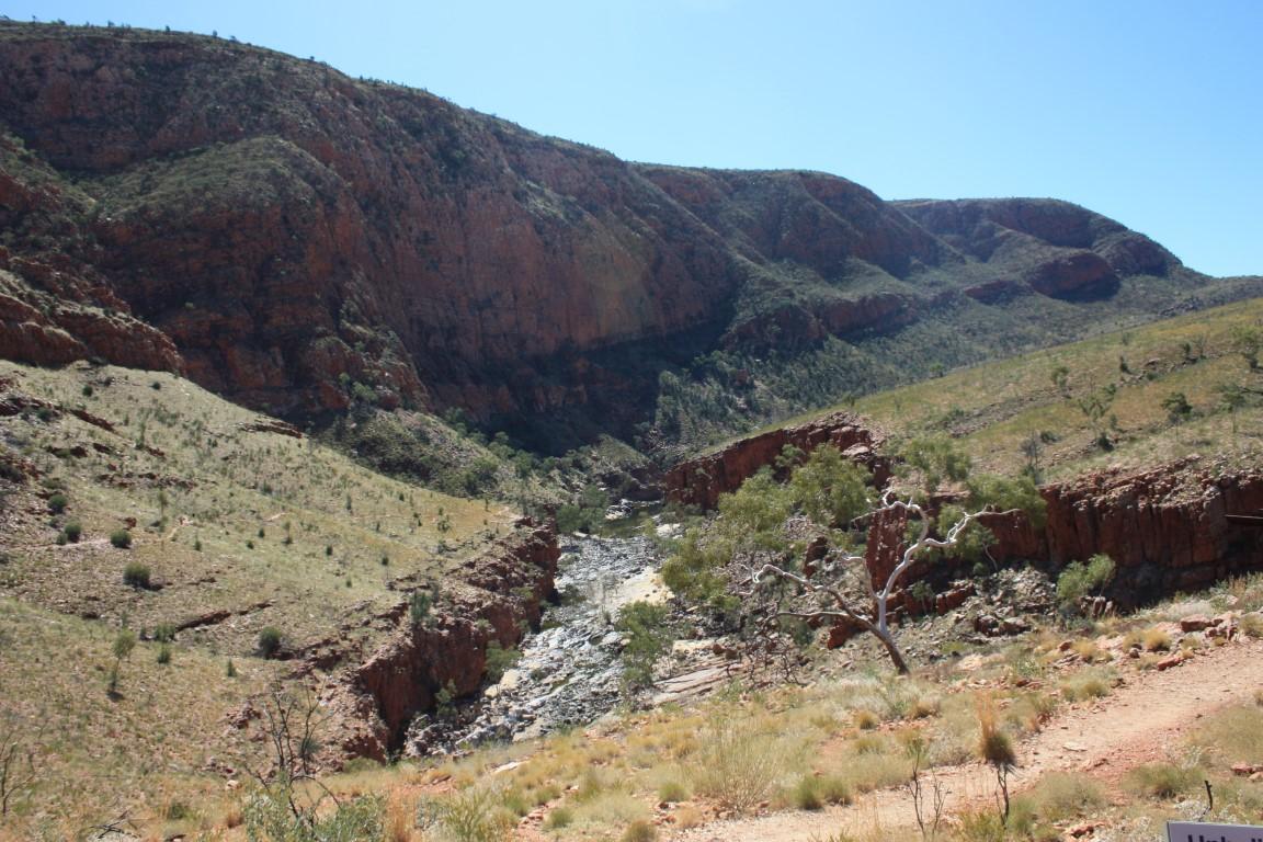
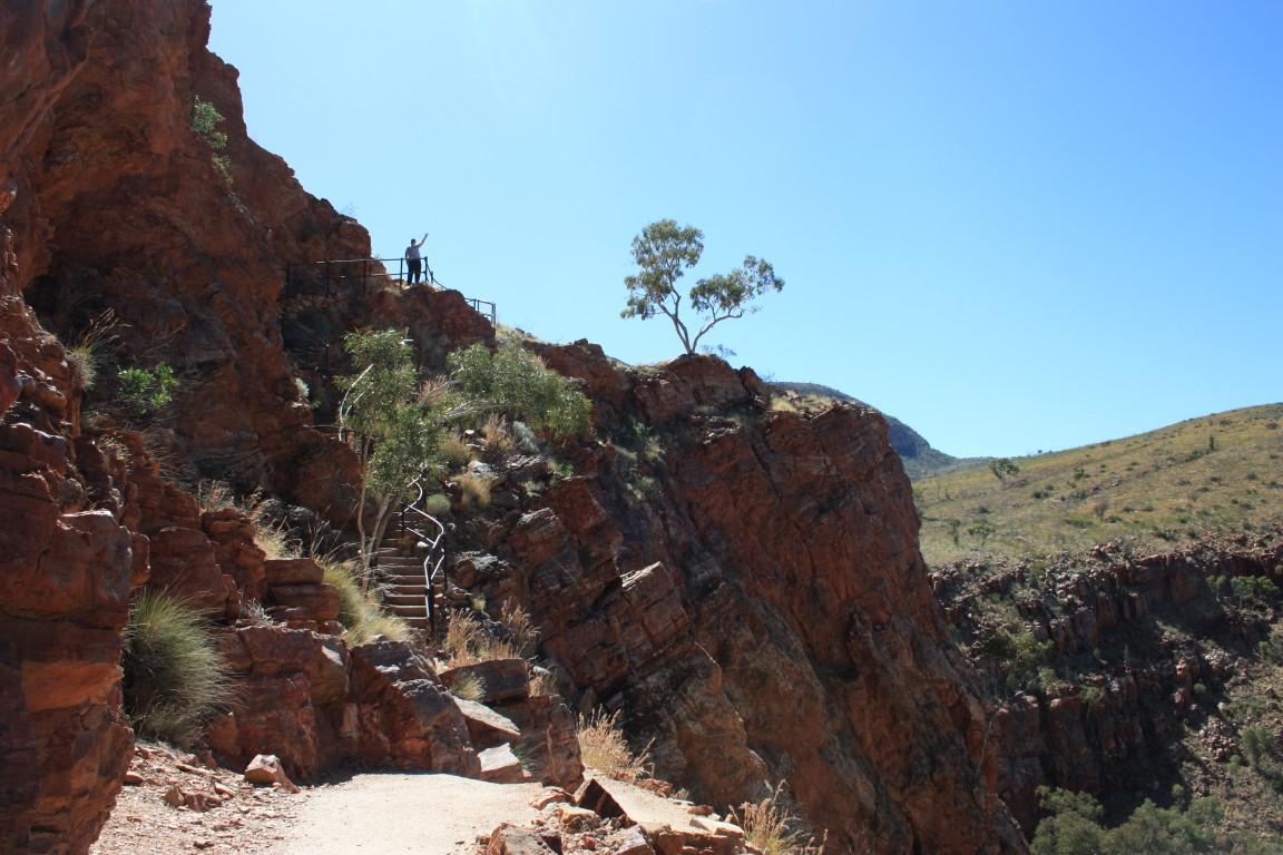
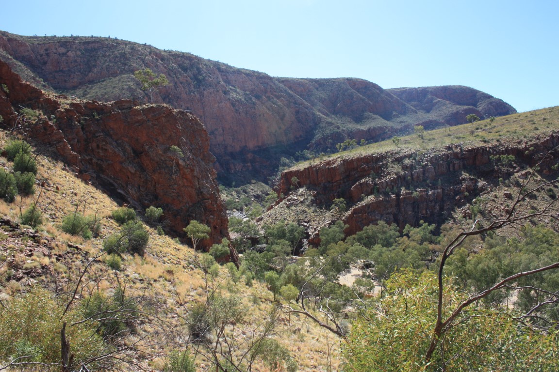
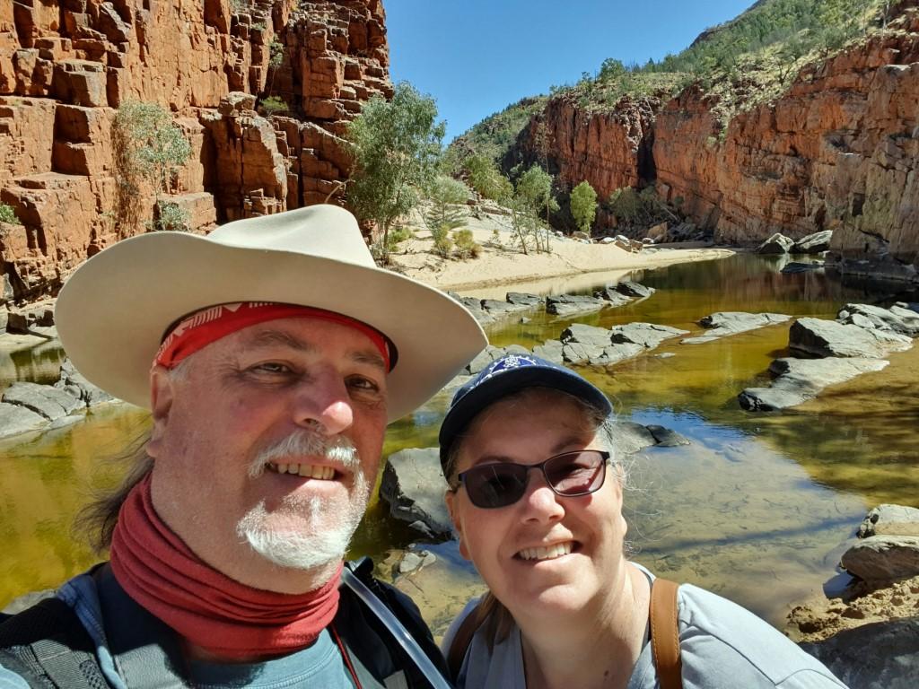
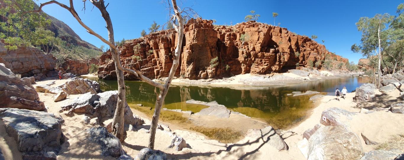
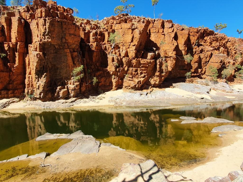
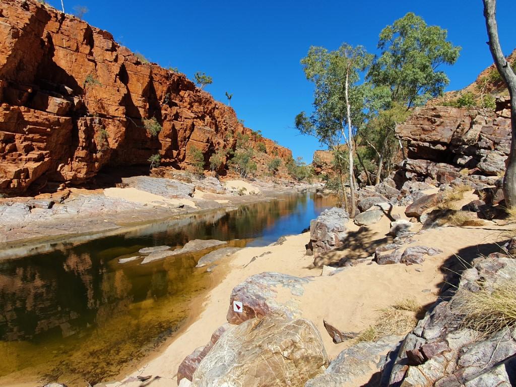
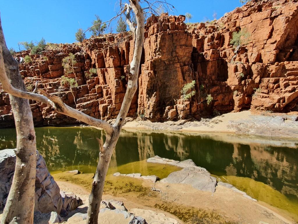
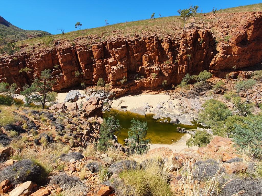
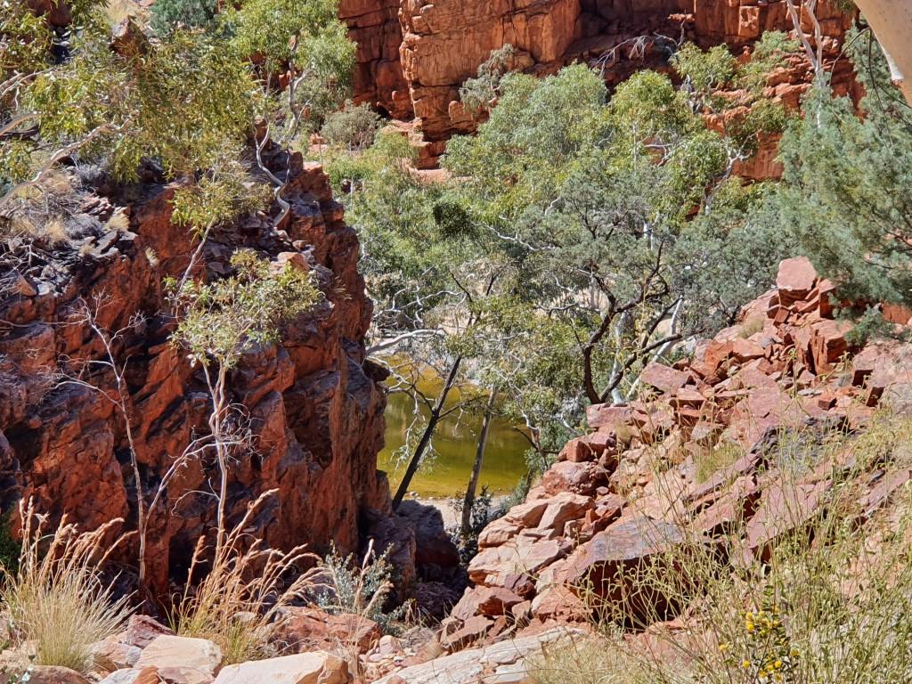
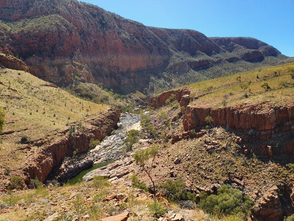
Ormiston Gorge gave us a chance to stretch our legs again with a decent hike that took us up above the gorge itself and then down to the water hole and sandy creek bottom.

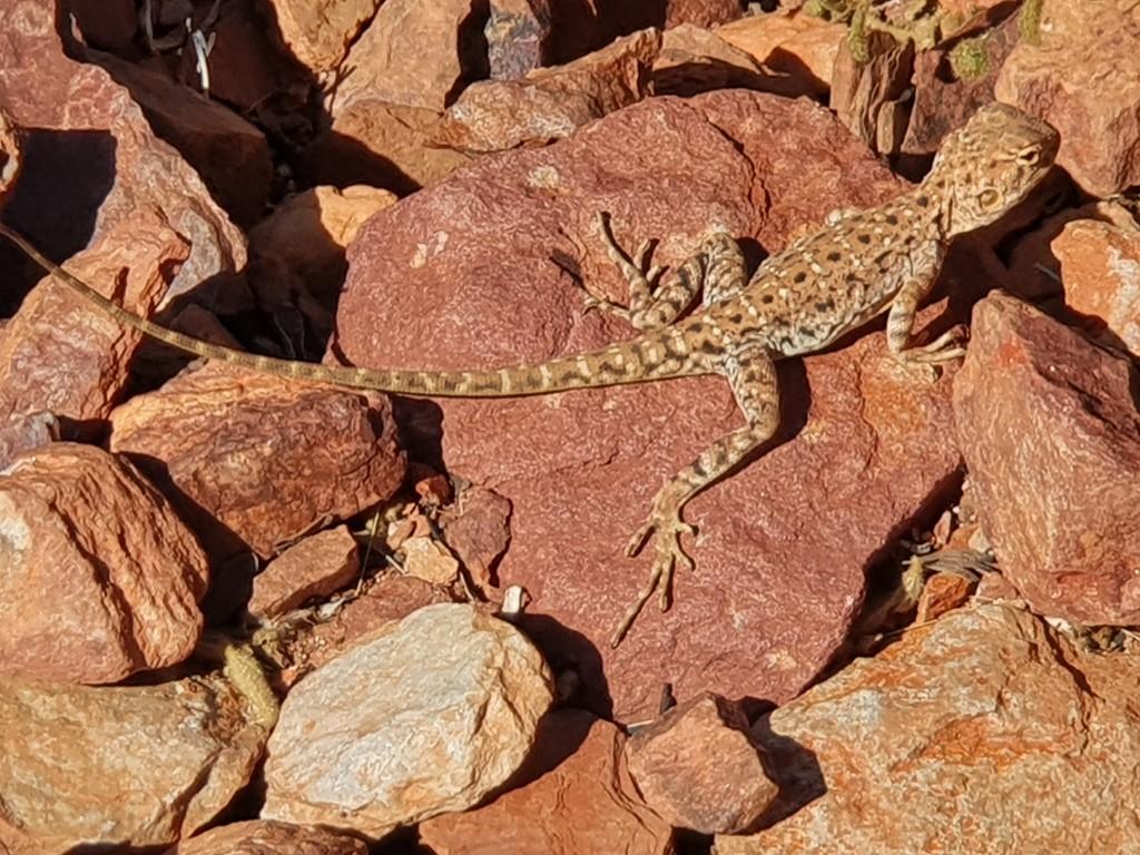
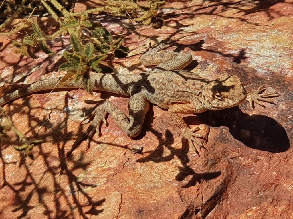
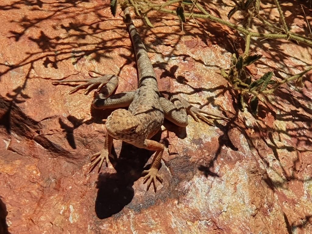
Not the most spectacular of the gorges, gaps and chasms but still an impressive display that also included wild-flowers and a very approachable little lizard that posed for us whilst sunning itself on a rock.

The water hole at Ormiston Gorge displayed an algae green colour from evaporation and the corresponding concentration of salts and minerals. A few brave souls waded through part of the water-hole to continue further into the gorge but we decided that discretion was the better part of valour on this occasion and stuck with the walking trail and dry creek bed. By all accounts the water was quite cold as well.
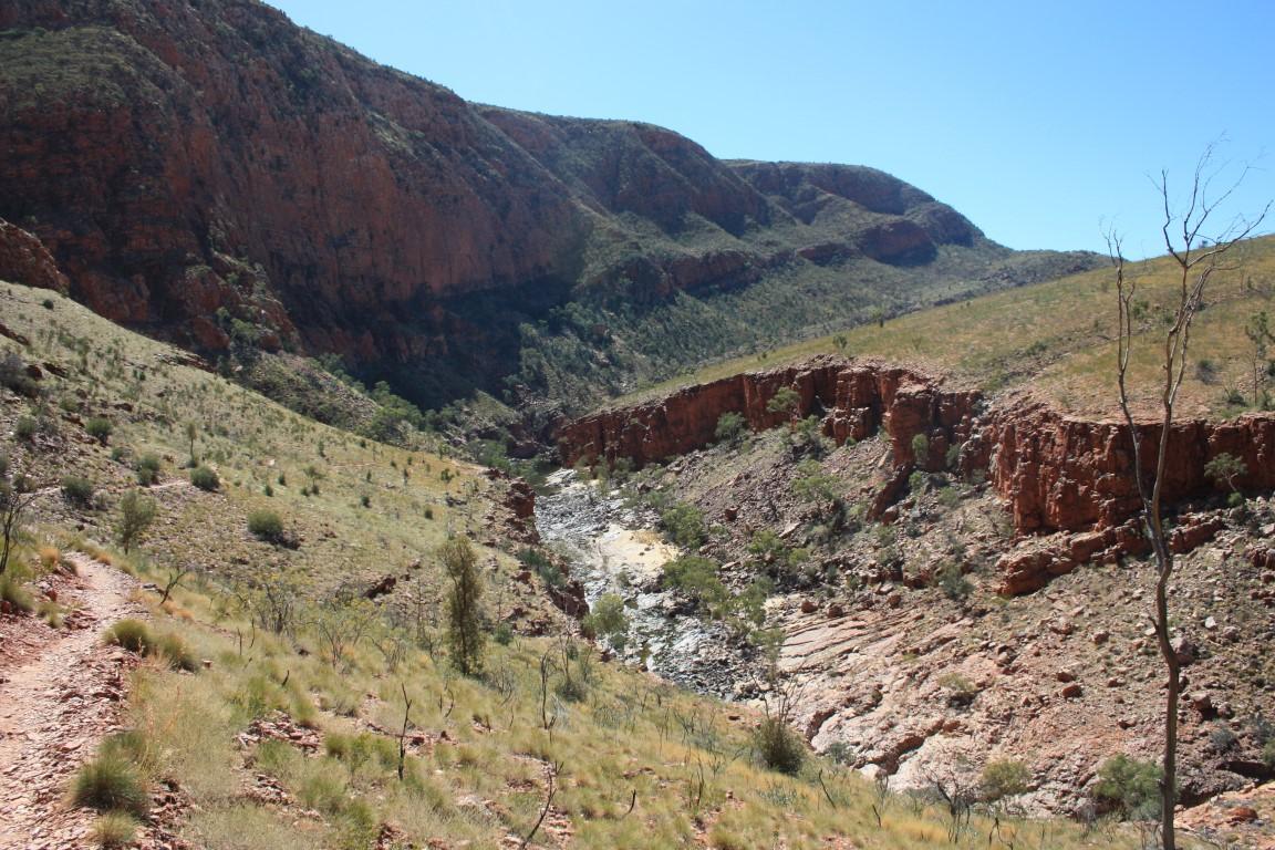
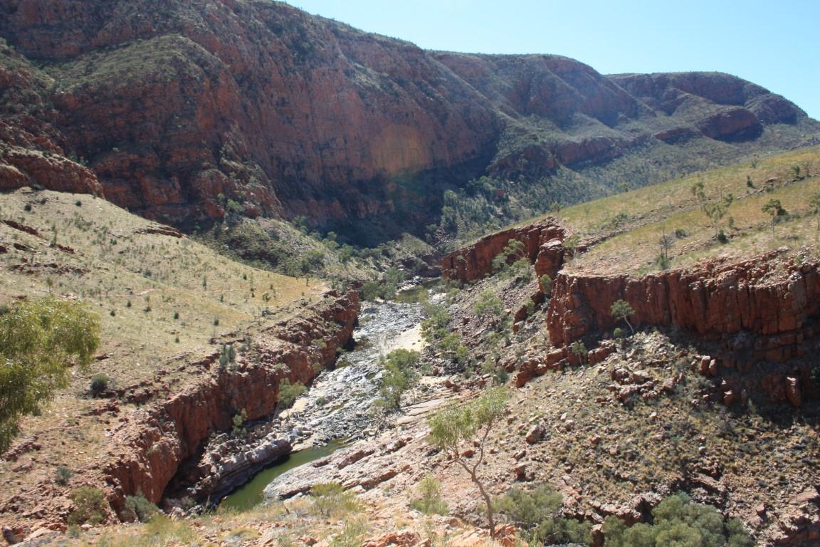
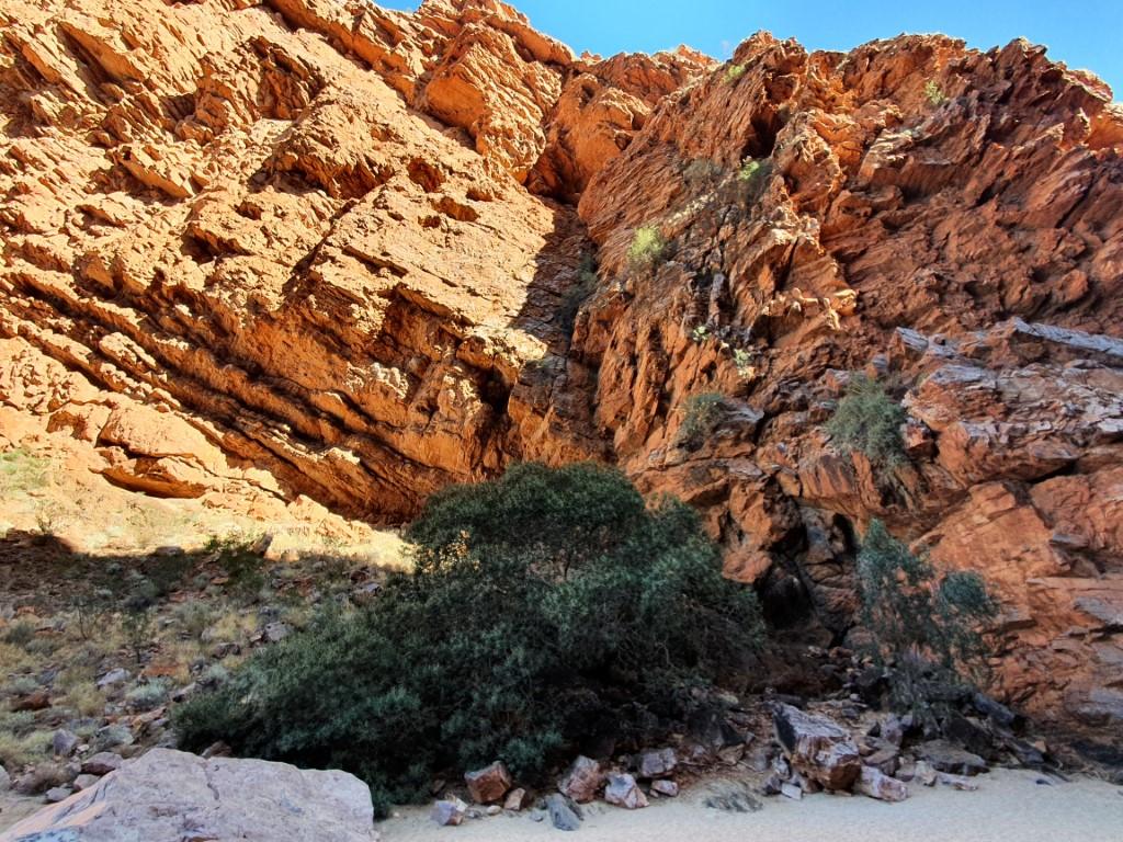
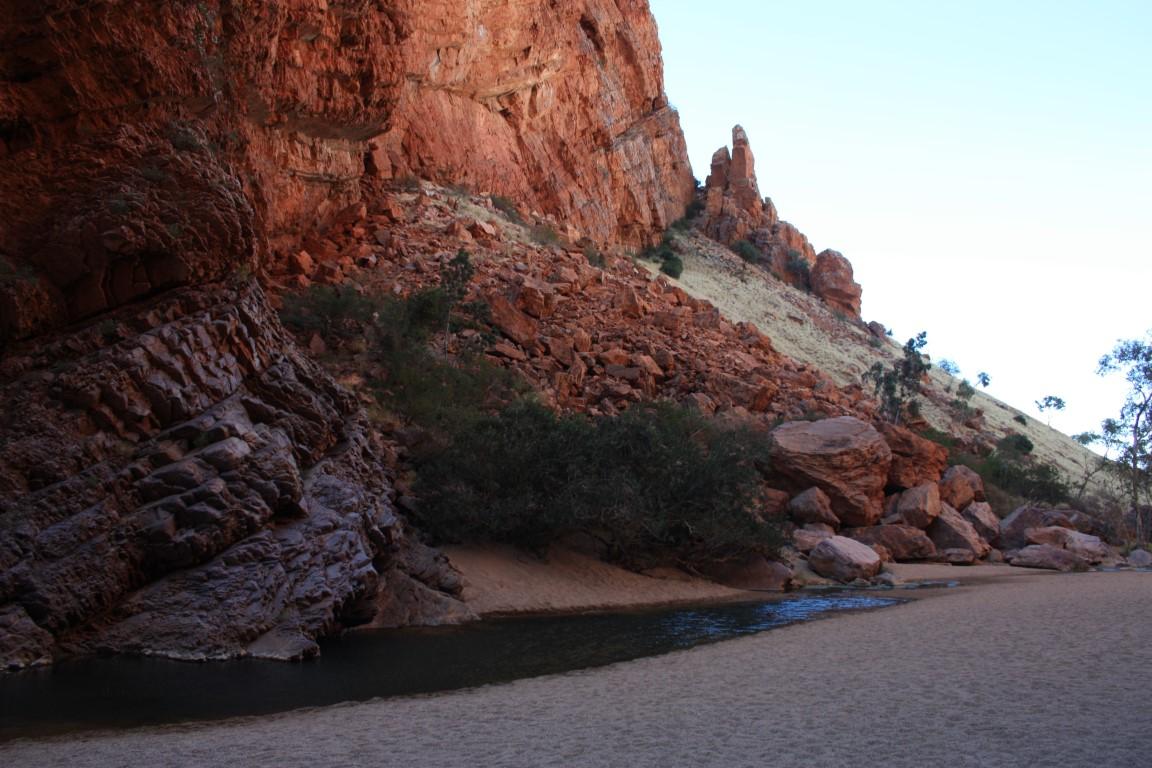
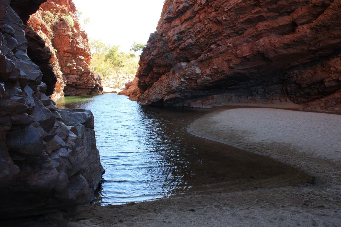
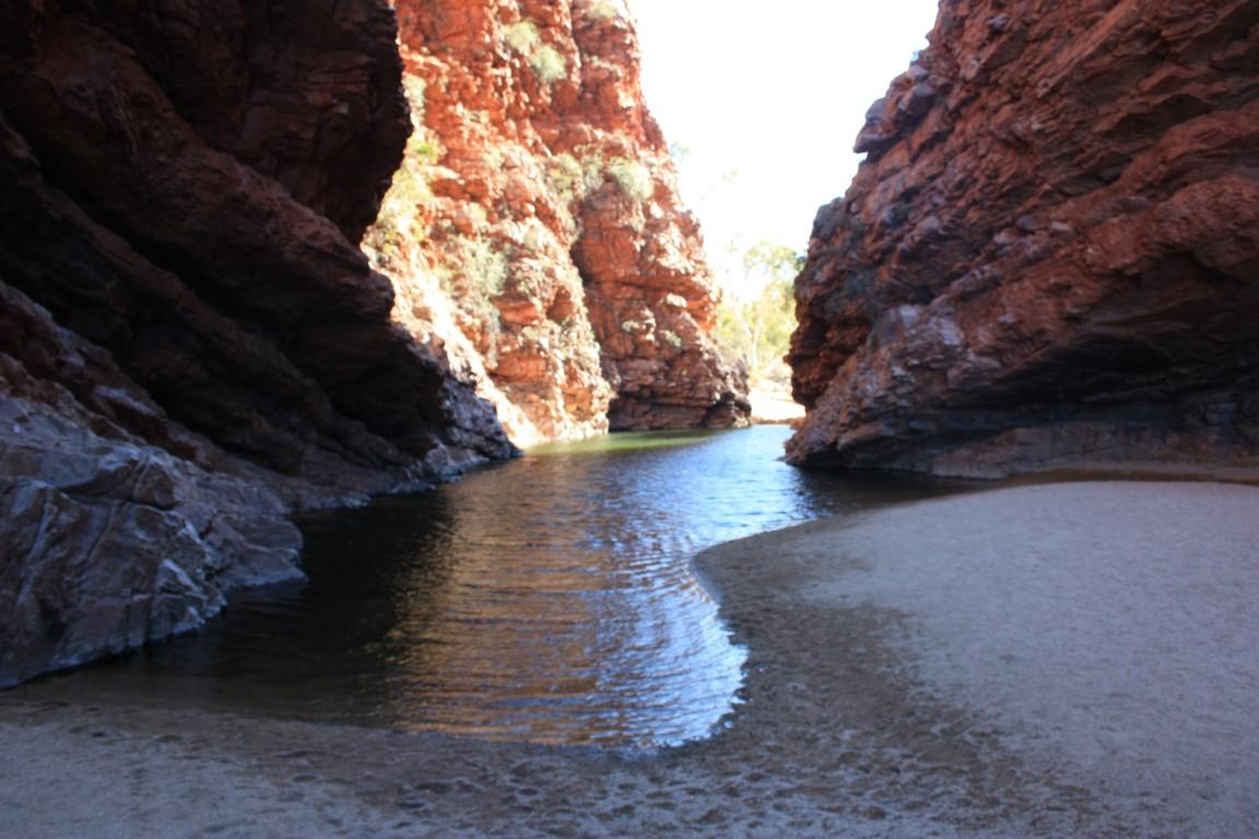
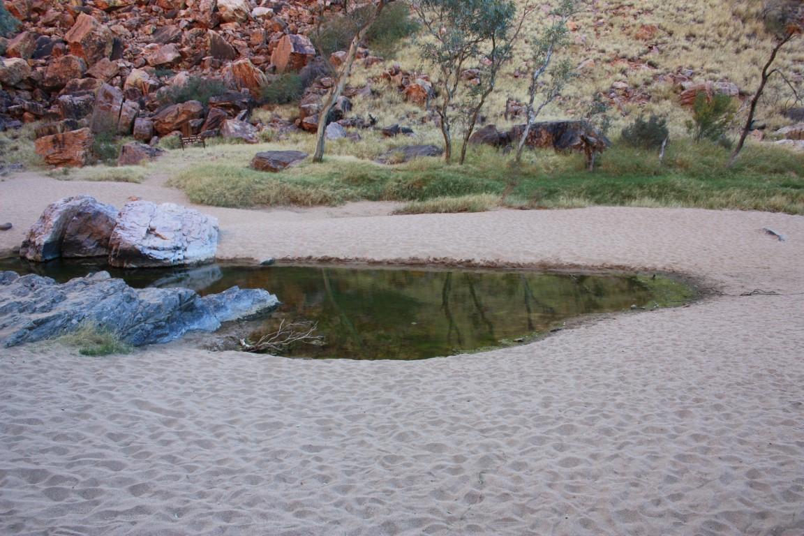
Serpentine Gorge
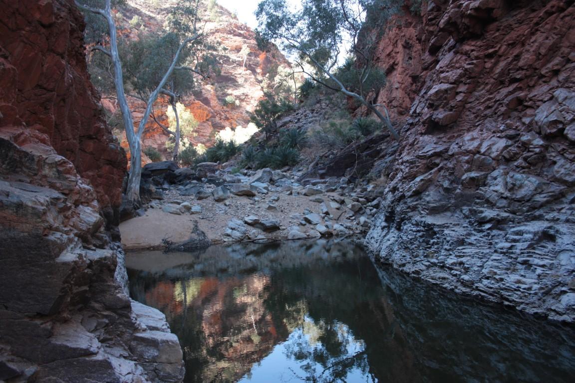
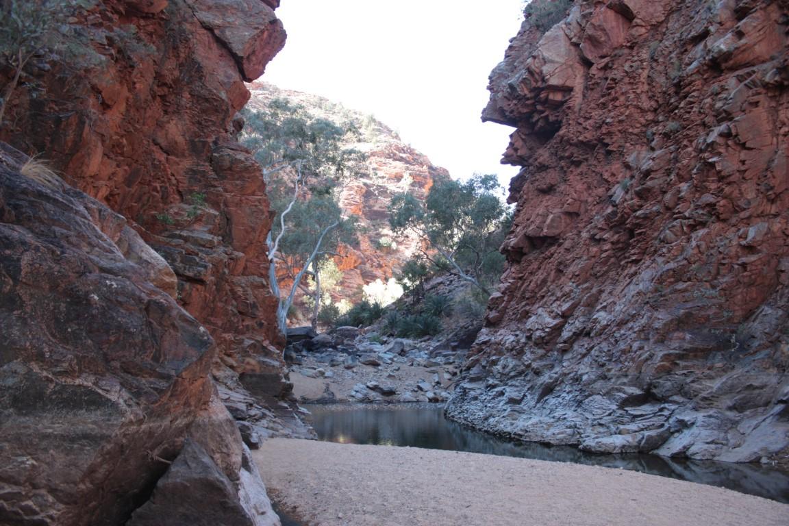
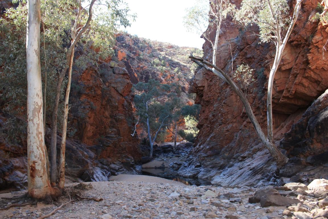
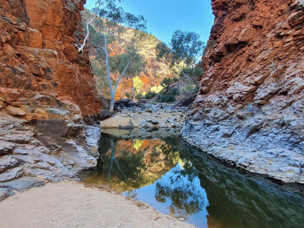
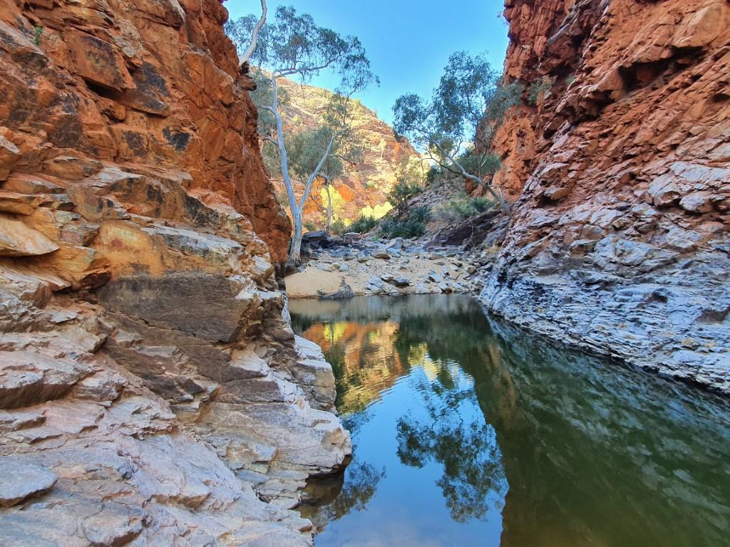
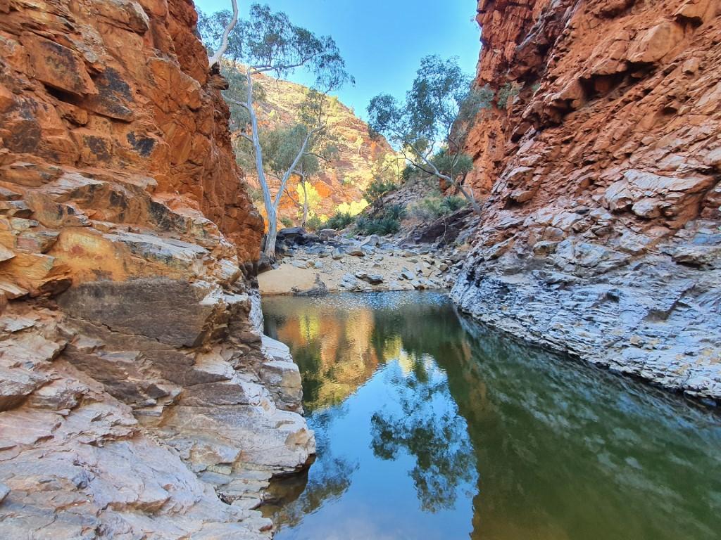
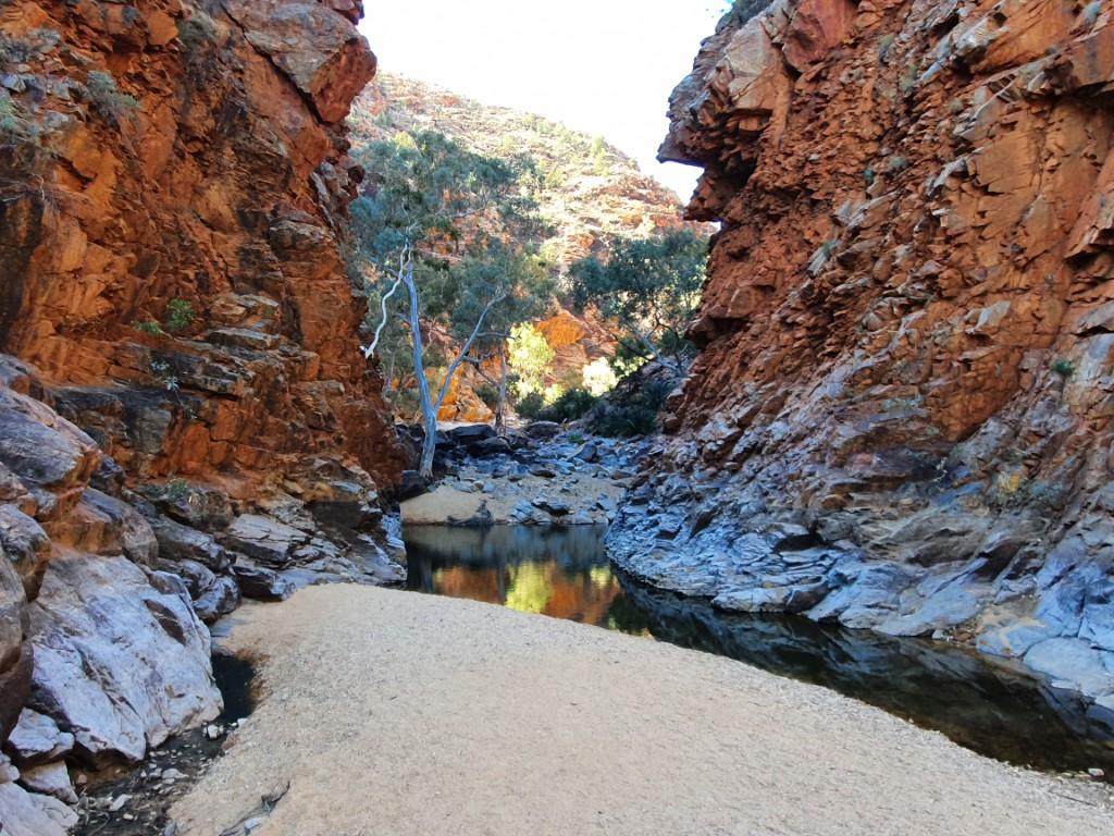


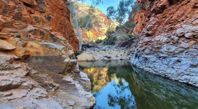
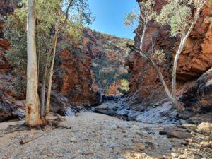
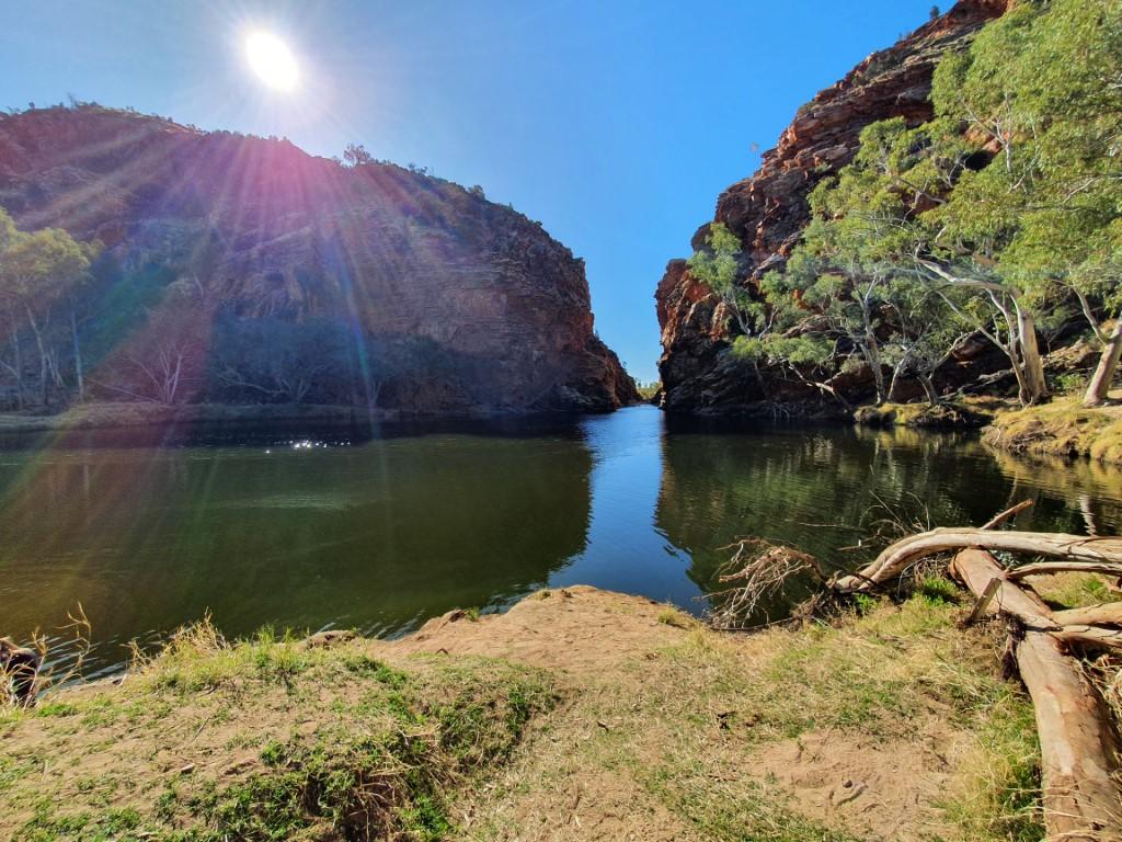
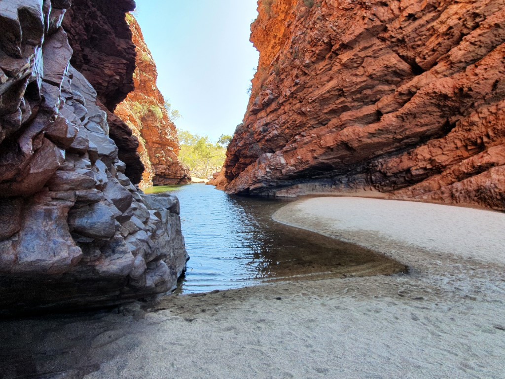
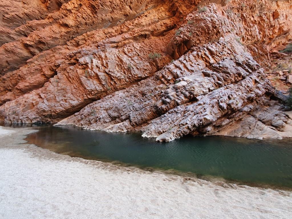
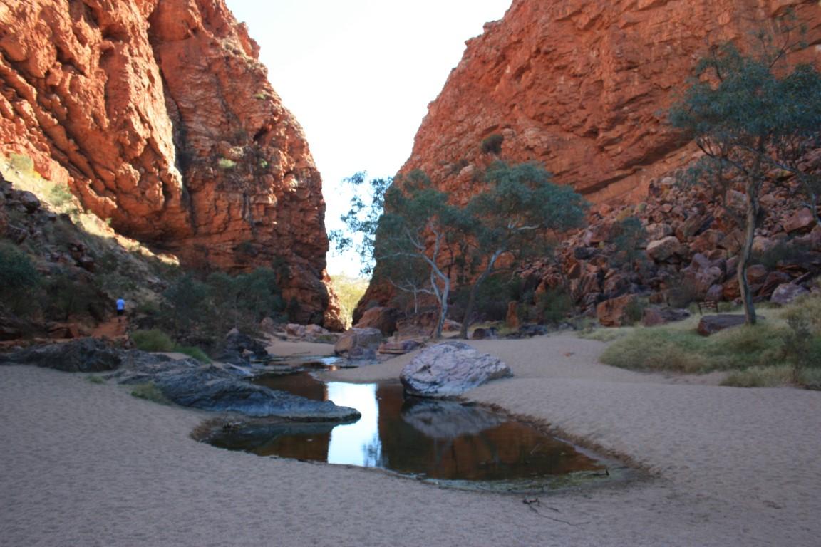
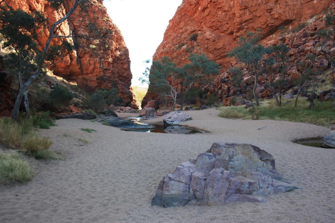
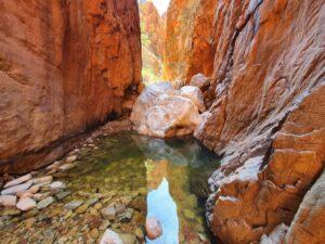
Our next stop was Serpentine Gorge. We both agreed that Serpentine Gorge was the standout of all the gaps, gorges and chasms and this may have been due to the time of day. The sun was in perfect position to create a mirror reflection of the colourful cliff walls behind the gorge in the water-hole that was truly superb.
Serpentine Gorge required a reasonable 1.3km hike to get to and was worth every single step. That combined with the dirt road into it means that some people bypass it so we largely had it to ourselves while we were there.
The indigenous locals do not like to go to Serpentine Gorge as they regard it as being a place where an angry rainbow serpent lives. If they do have to go there then they must approach it slowly and sing specific chants to calm the rainbow serpent so that it won’t attack them.
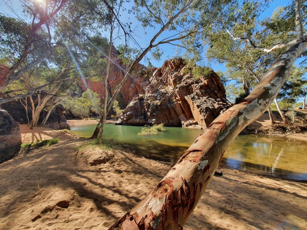
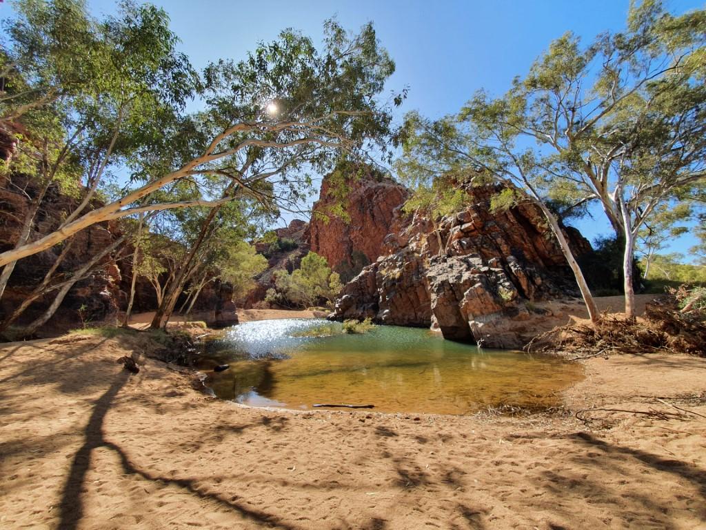
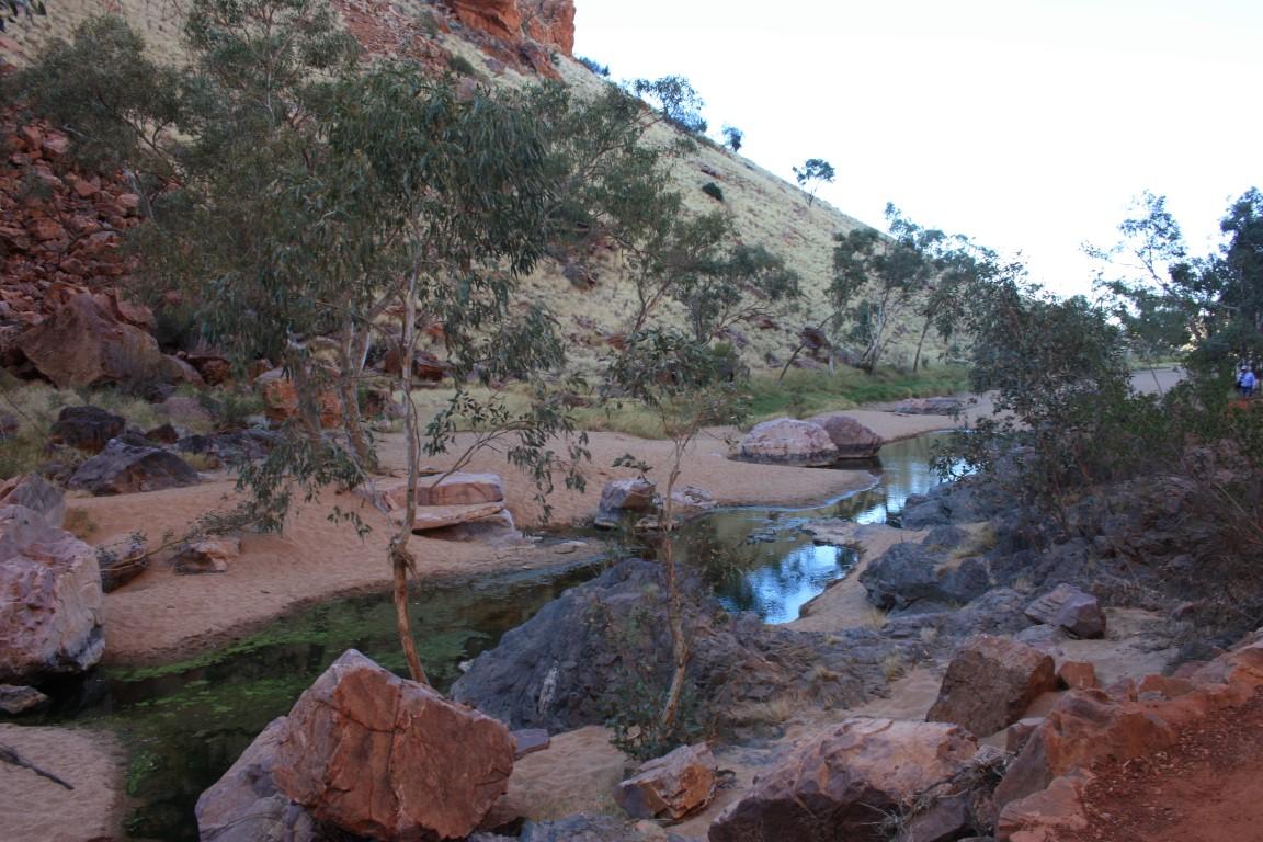
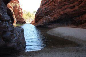
Ellery Creek Big Hole

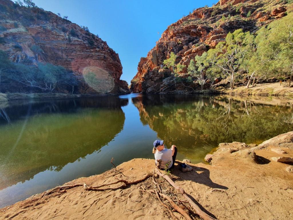
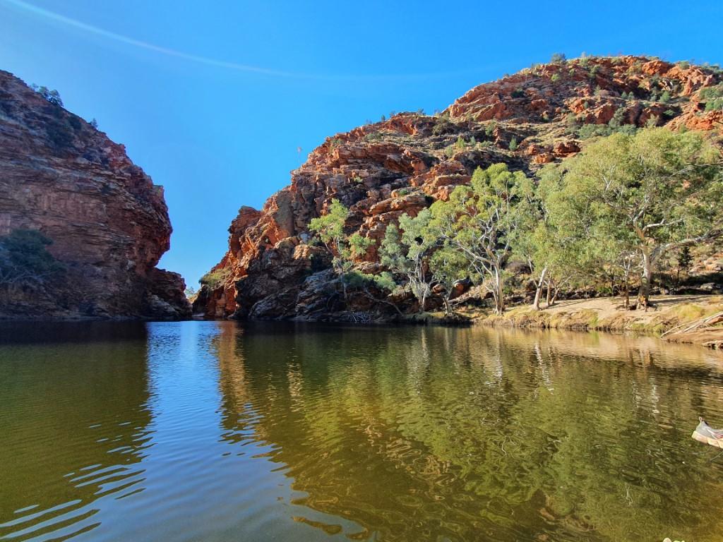
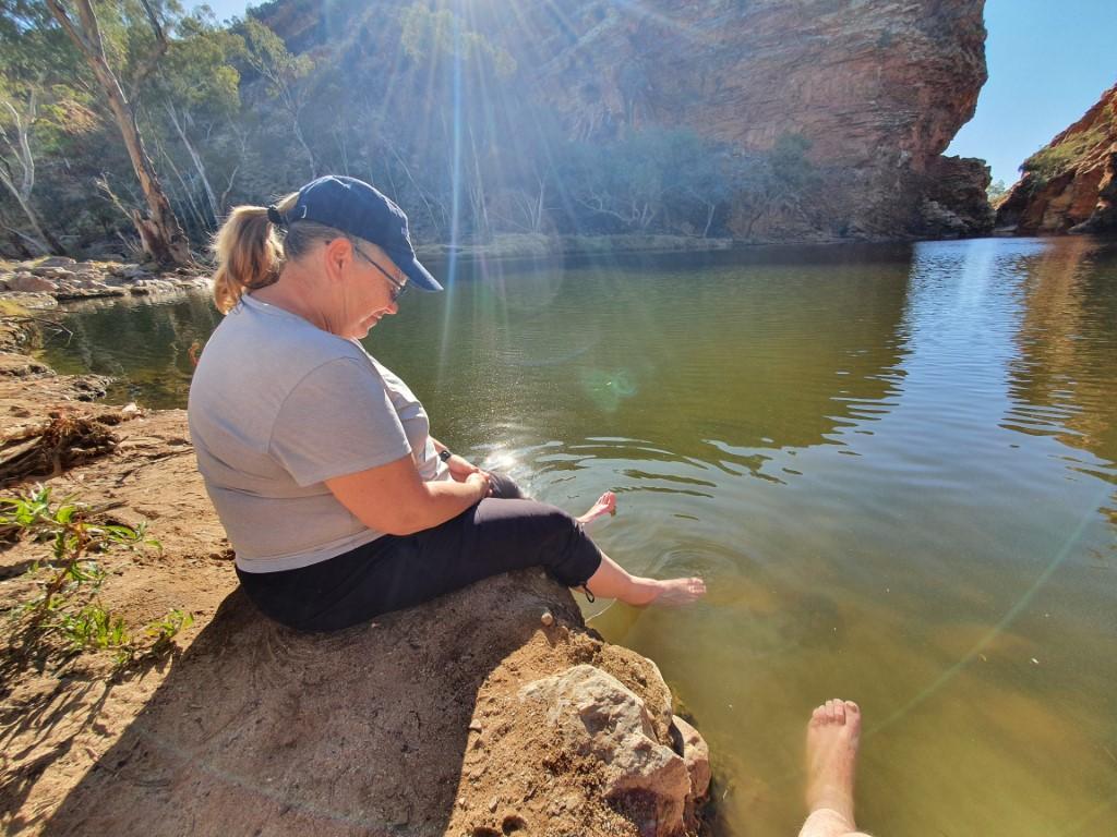

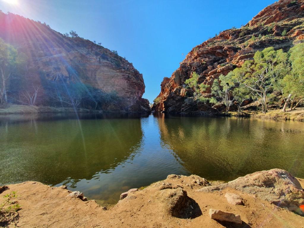
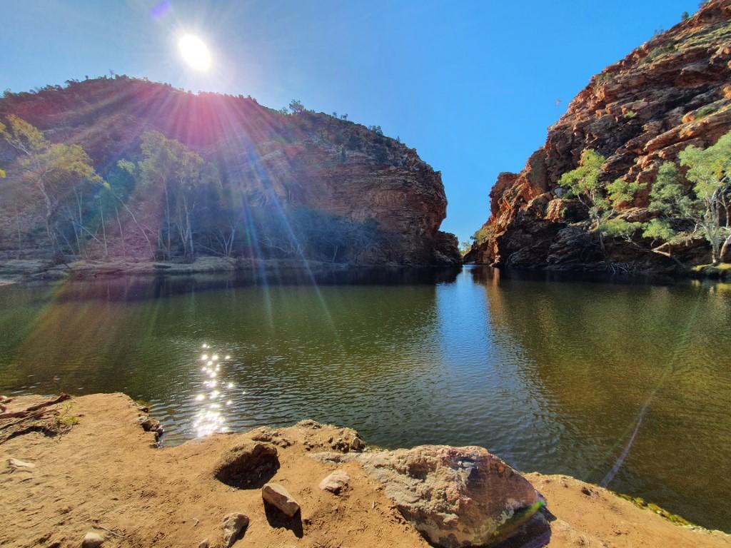
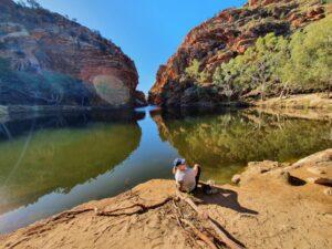
Ellery Creek Big Hole is a permanent water-hole with a sandy bank that quickly drops away to fairly deep water. There is a campground there and it’s only a short walk from the campground and carpark to the water-hole.
It is a long and broad expanse of water and there were quite a few visitors there when we arrived. Despite the warm, dry temperatures the water is quite cold and this was proven by one visitor who stripped down and fully submerged. He only lasted a few minutes before getting out to warm up again,
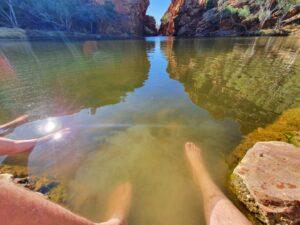
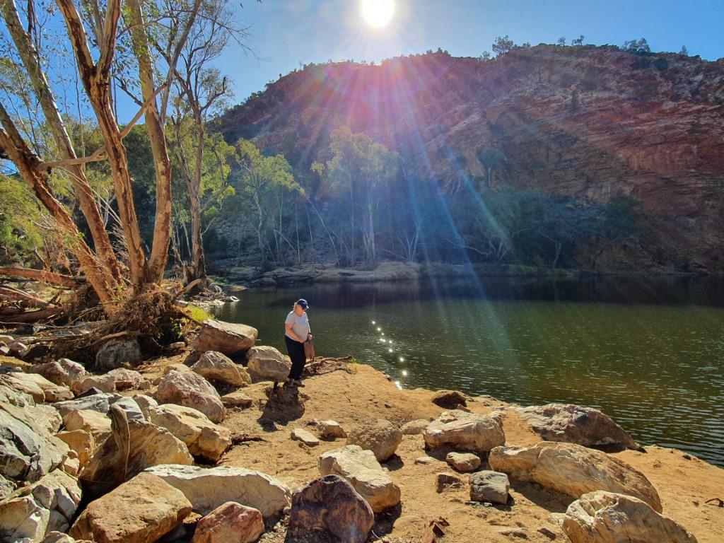
We opted to sit on the bank, take our shoes and socks off and soak our feet, which was both relaxing and soothing after two days of hiking around the gaps, gorges and chasms of the MacDonnell Ranges.
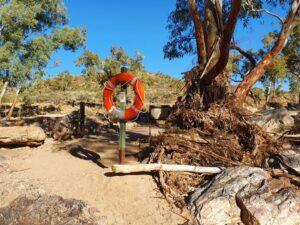
There’s something quite surreal about sitting in 30oC heat in an arid outback setting with your feet dangling in deep, cold clear water. It’s also a little surreal walking past a rope-and-ring type life preserver, of the type you see on ocean liners, hanging on a post beside the water-hole in the middle of the outback.
Simpson Gap

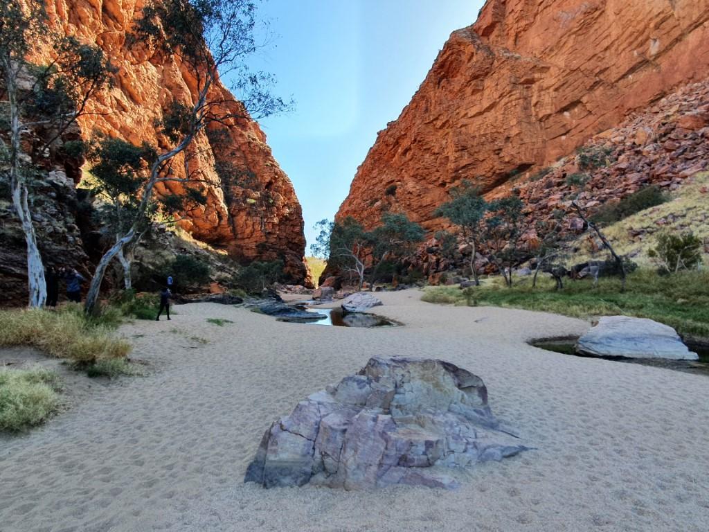
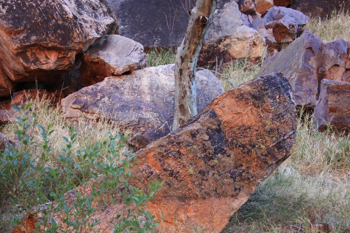

Simpson Gap was yet another magnificent passage way through the range with yet another permanent water-hole sitting in the gap between the layered rock walls. This gap opened out onto a wide, dry sandy expanse that had some large ghost gums growing in the middle where they could easily send tap roots down to the water.
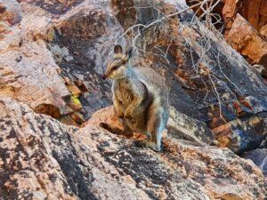
It is home to the black-footed rock wallaby, which is rare and endangered. We we privileged to spot on and get up quite close and personal with one. It perched itself on a rock above us and happily posed for us. When we got to about 15m away it showed us its incredible agility as is bounded up a series of fallen boulders until it judged that it was back at a safe distance from us.
Standley Chasm
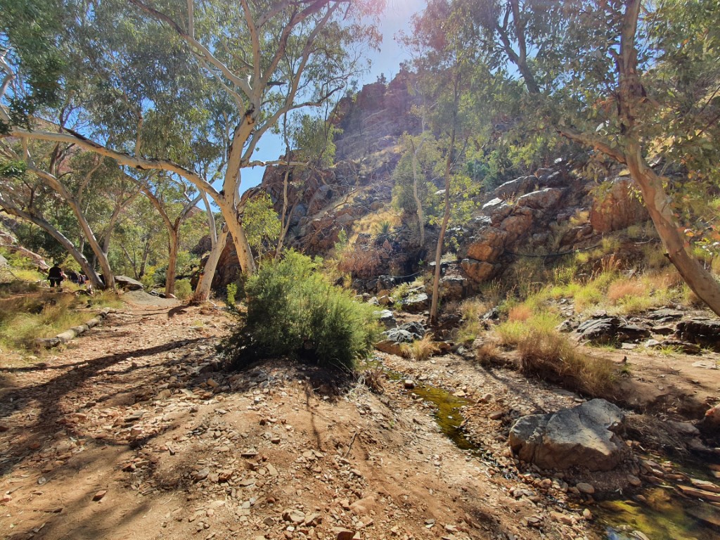

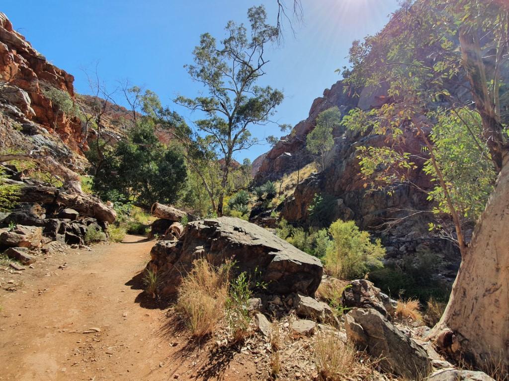
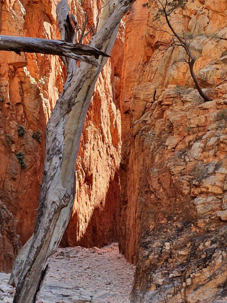
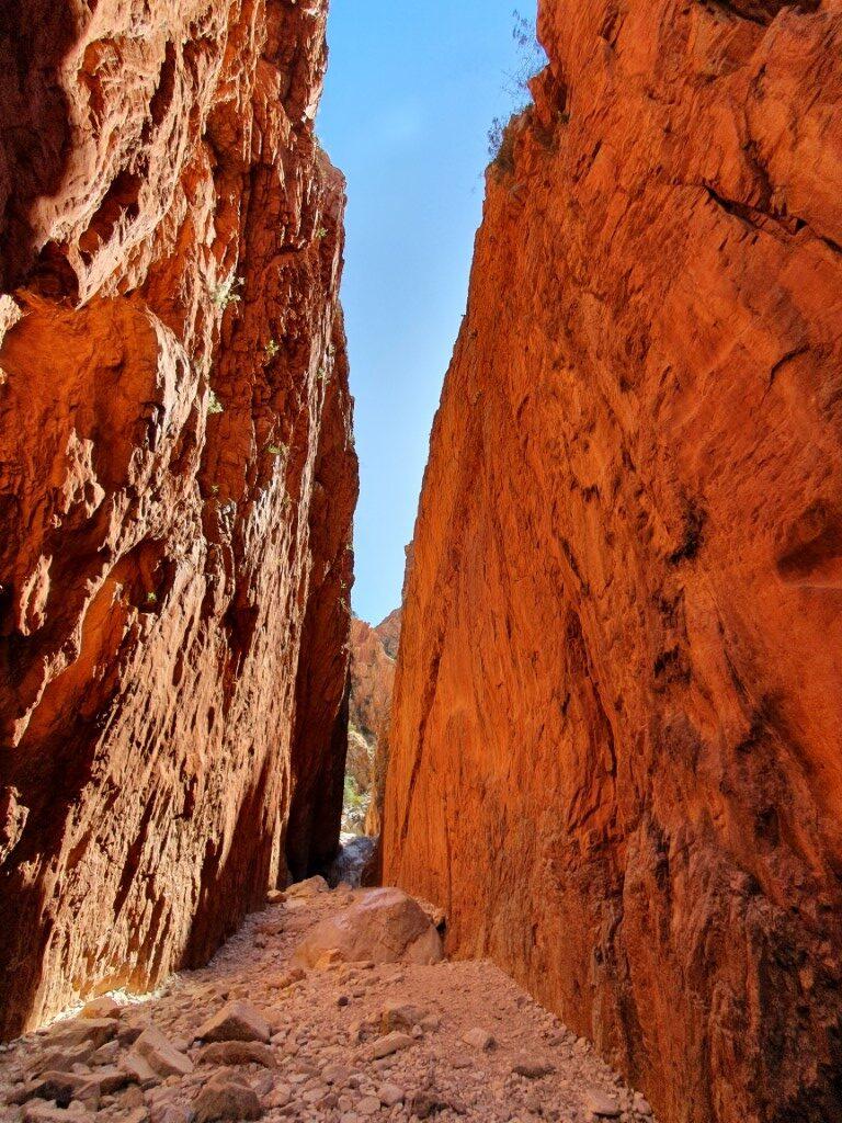
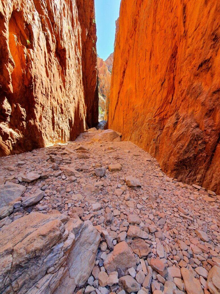

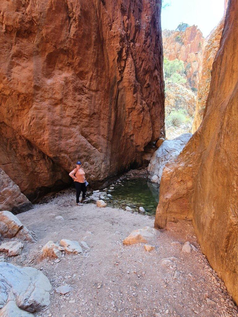
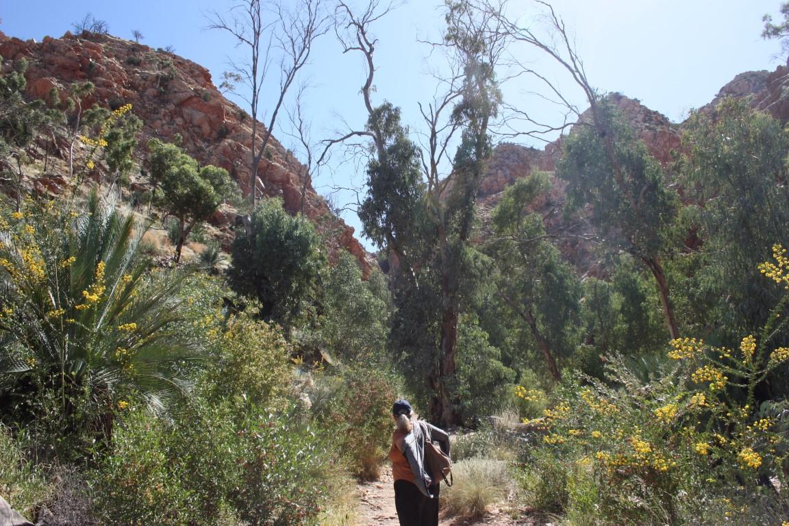
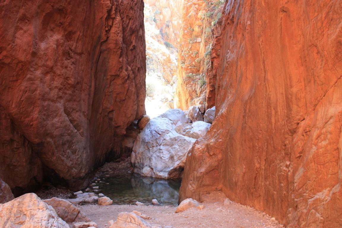
Standley Chasm is without a doubt the most ‘touristy’ of the gaps, gorges and chasms with a huge carpark and plenty of tourist coaches. It also has a cafe/kiosk and shop as well as an entry fee to hike up to Standley Chasm itself.
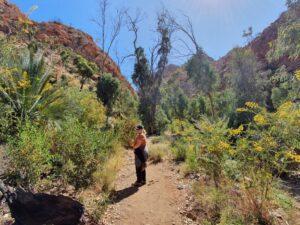
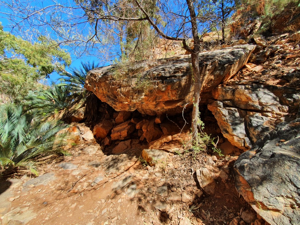
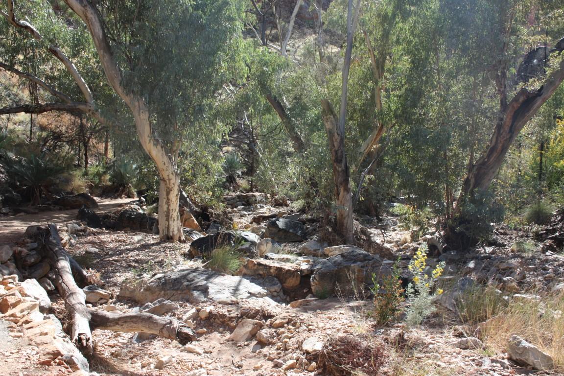
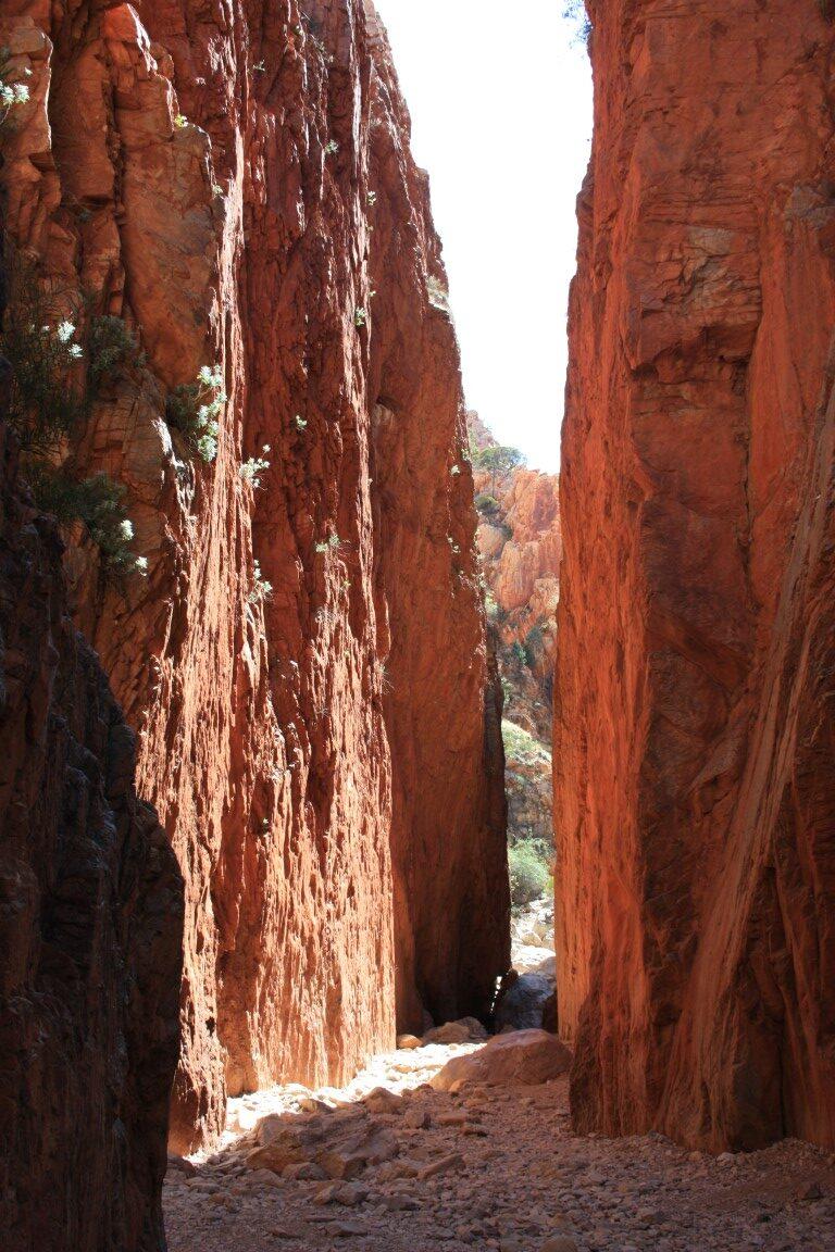
Having said that… it is a very pleasant hike on a well made trail that ascends along the way to the actual chasm. Unlike the other gaps, gorges and chasms that we visited, Standley Chasm is very green and lined with trees, palms, ferns and wild-flowers.
It is not an especially difficult hike although we met an 80+ year elderly lady with a walking frame on our way back, who was almost there asked asked us how much further to go and if it was worth it. We actually saw her again at the cafe and discovered that she had persevered and was very proud of herself and thoroughly enjoyed viewing the chasm. Good for her!!!
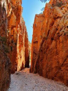
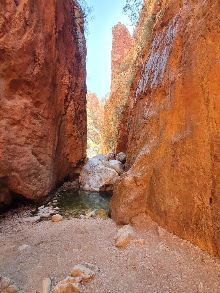
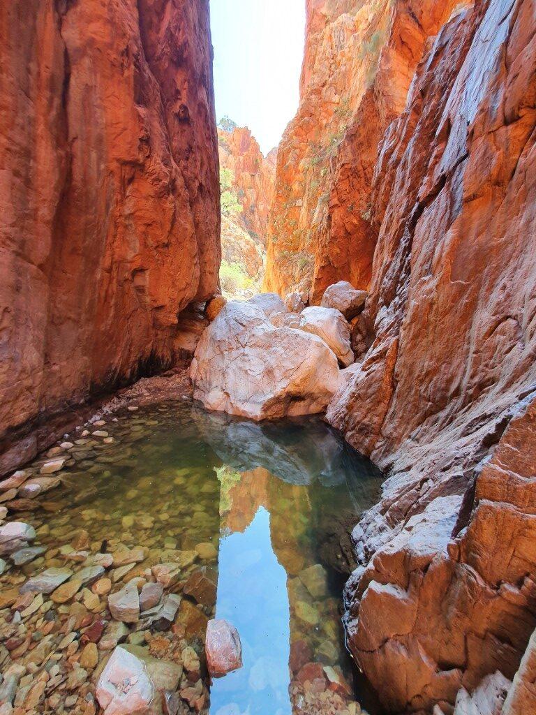
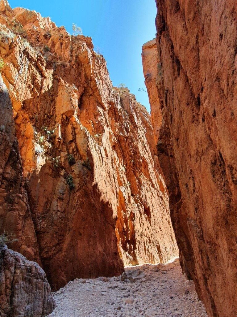
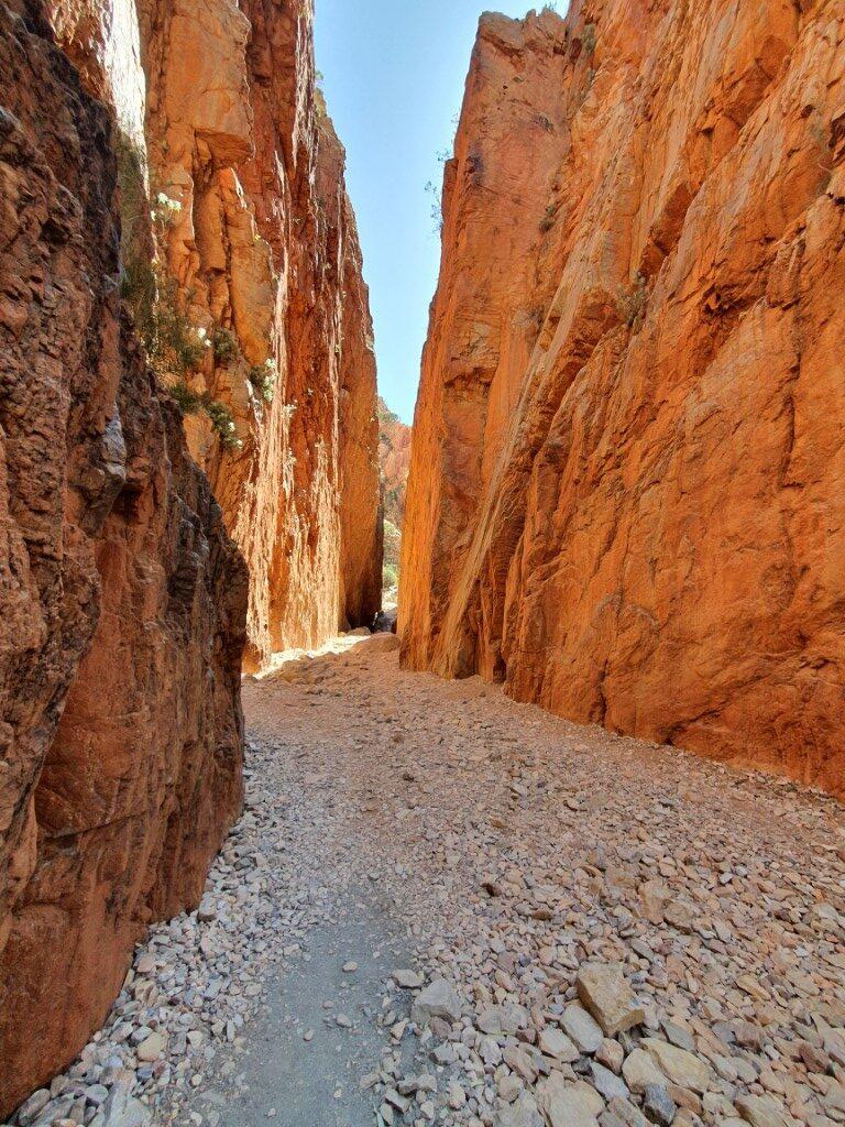
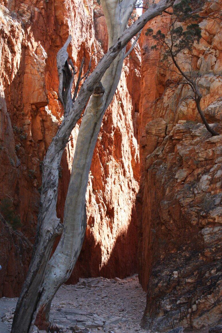
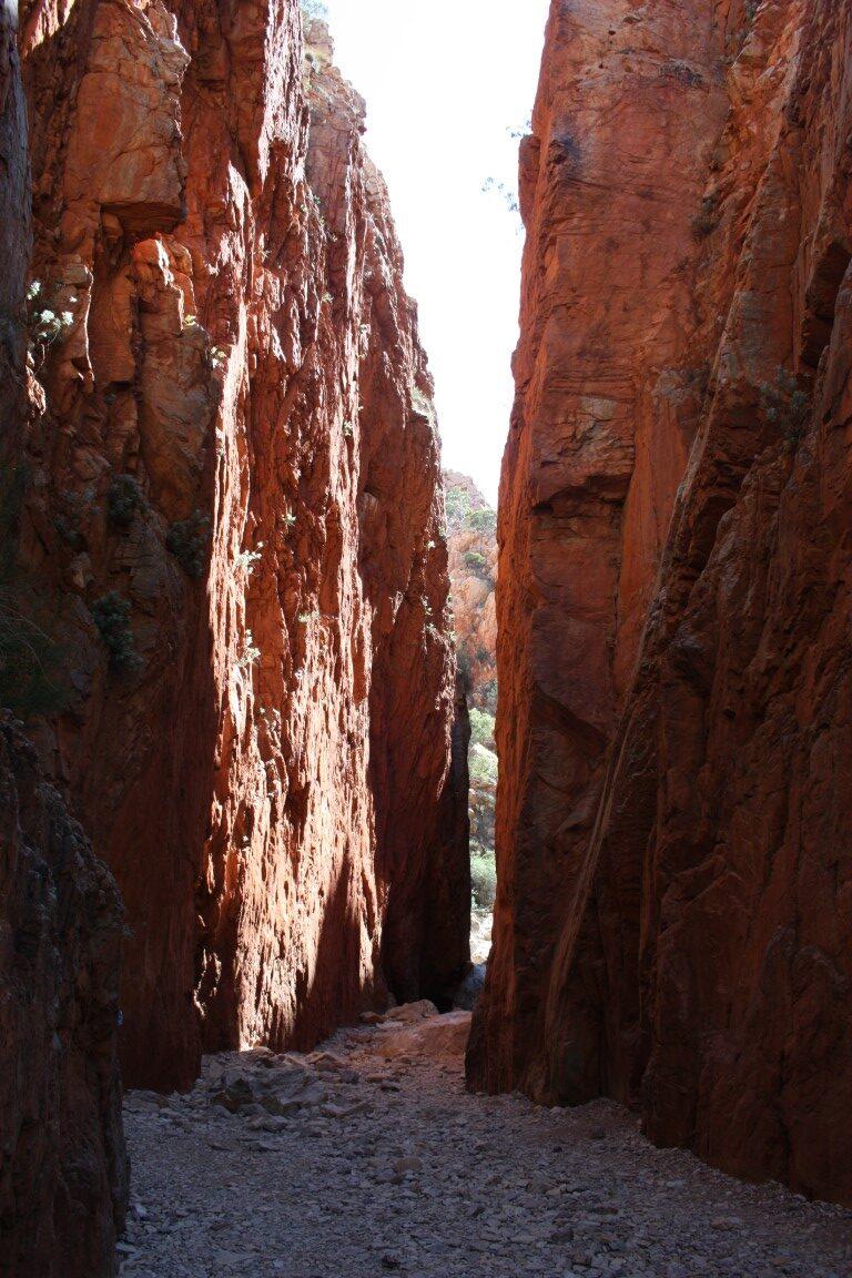
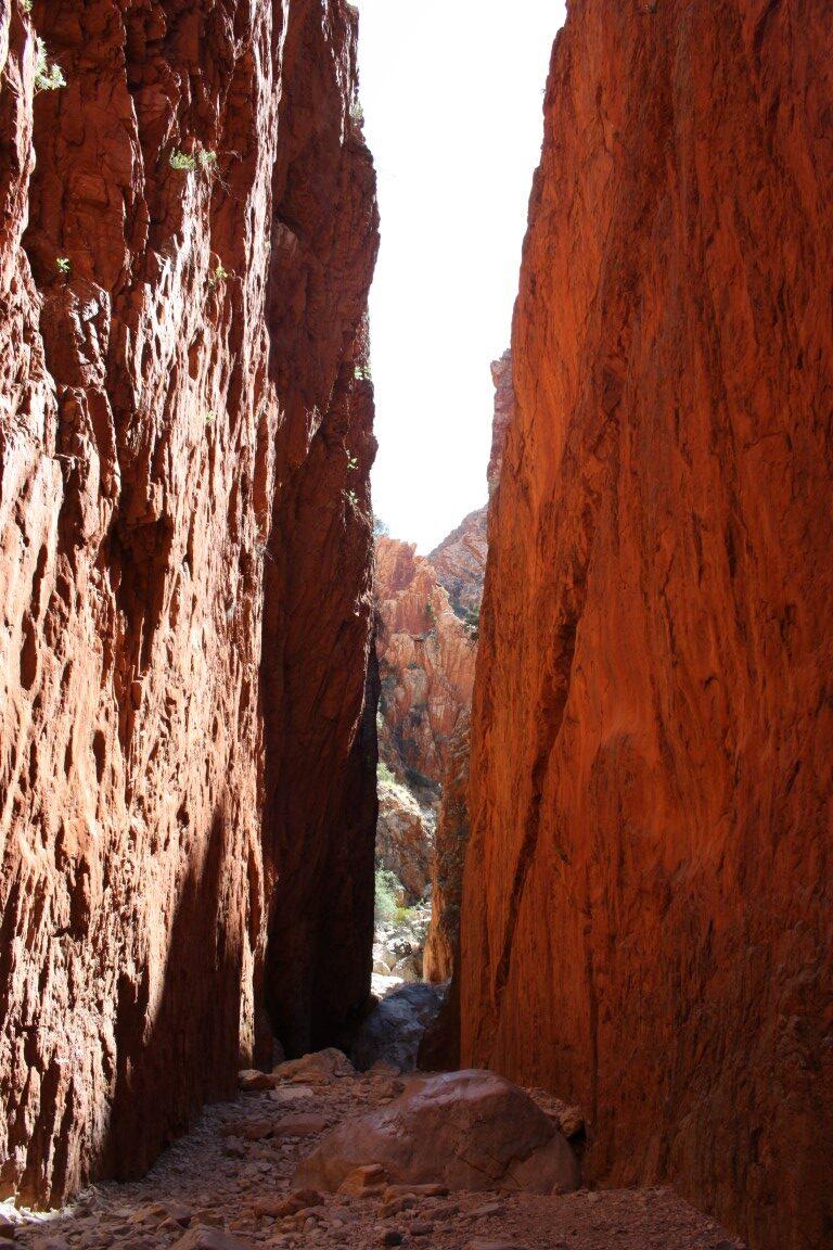
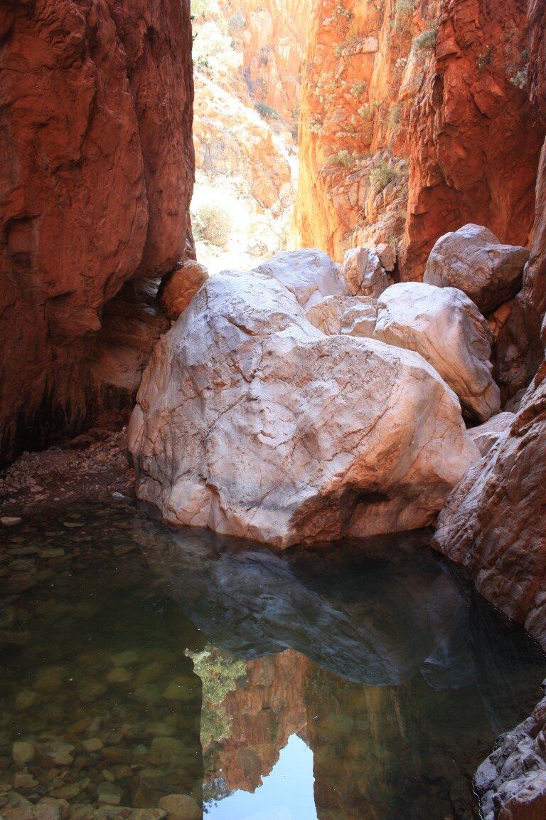
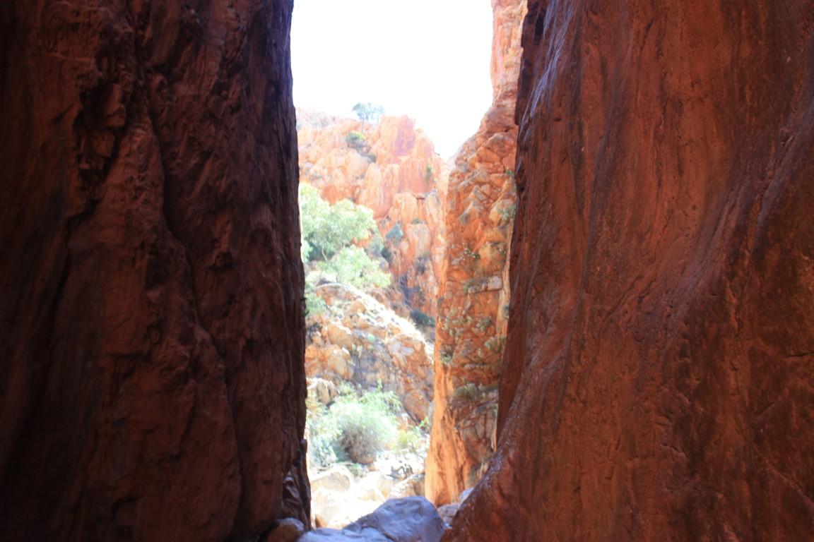
Standley Chasm is somewhat unique compared to the other gaps and gorges due to it’s sheer, smooth vertical walls. We arrived at the perfect time in the middle of the day as the sun crossed from one side to the other, changing colours of the rock walls as it passed.
The colours of the outback are what make it such a spectacular and beautiful place and to think that this show has been played out every single day for hundreds of thousands of years is something quite special.
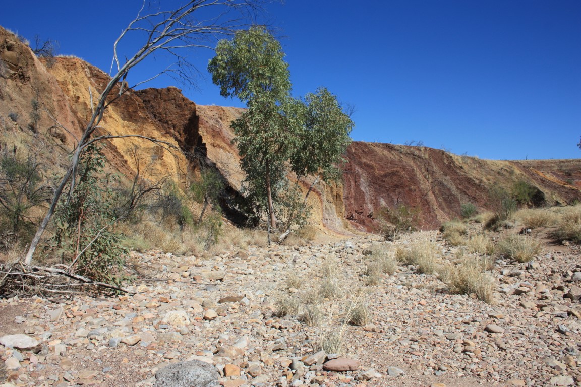
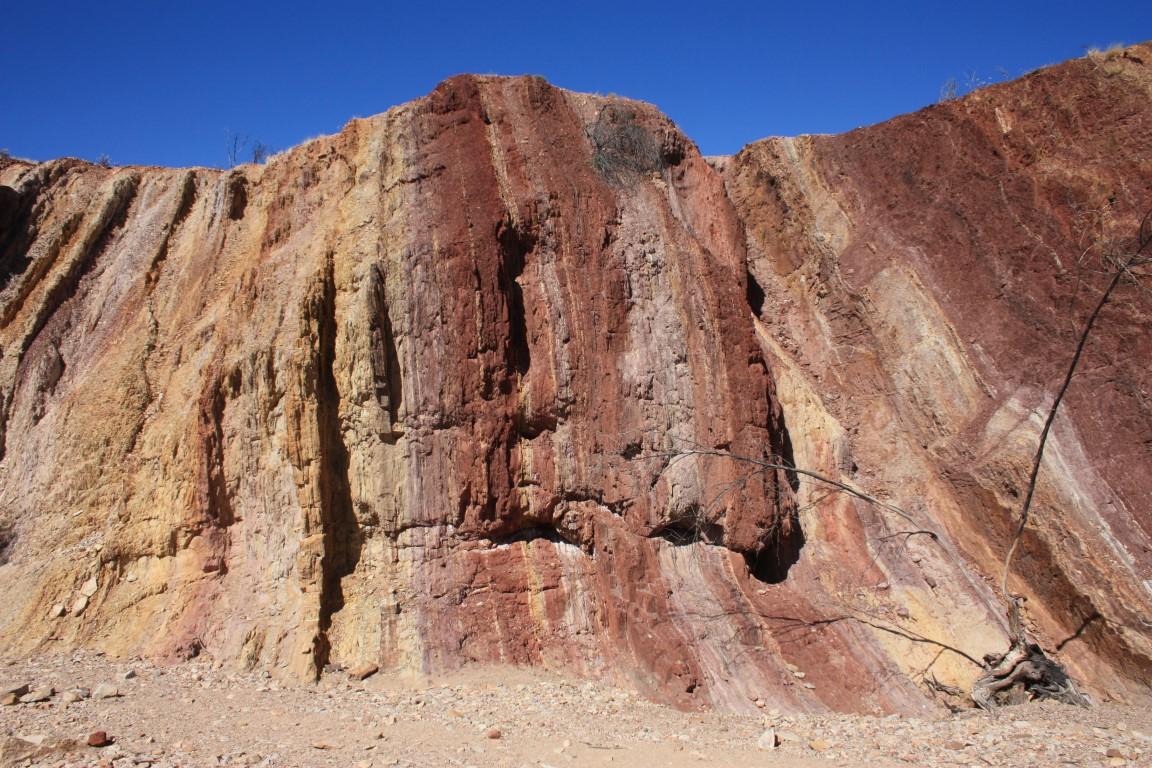
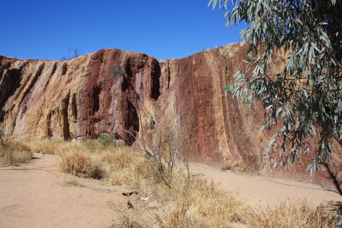
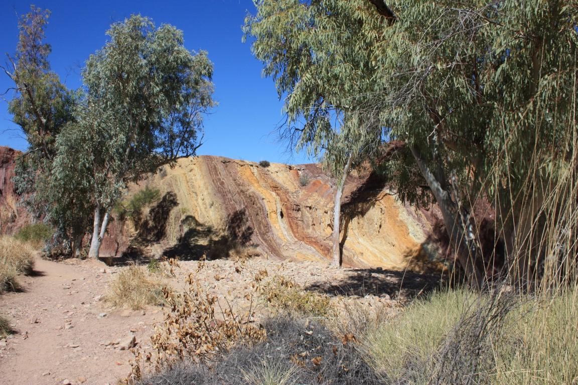
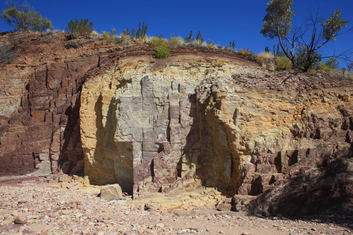
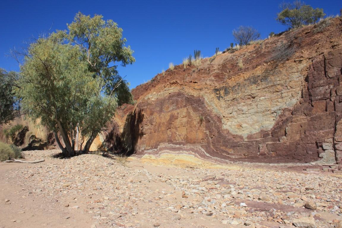
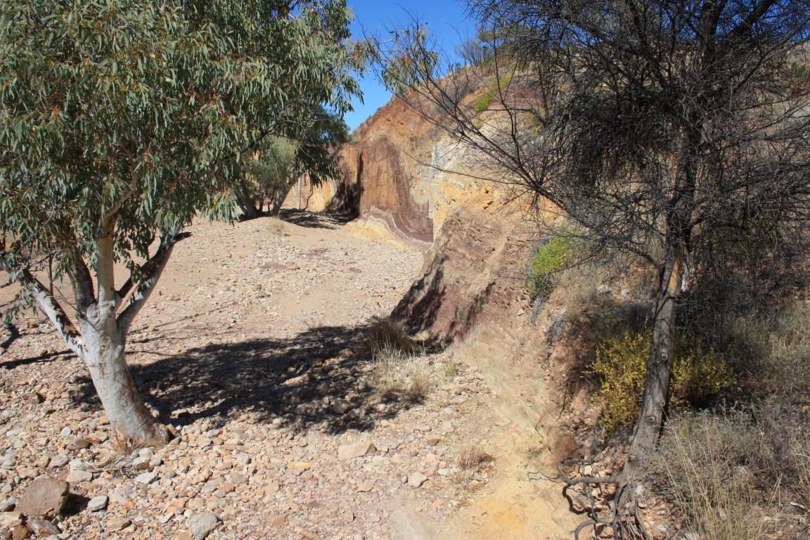
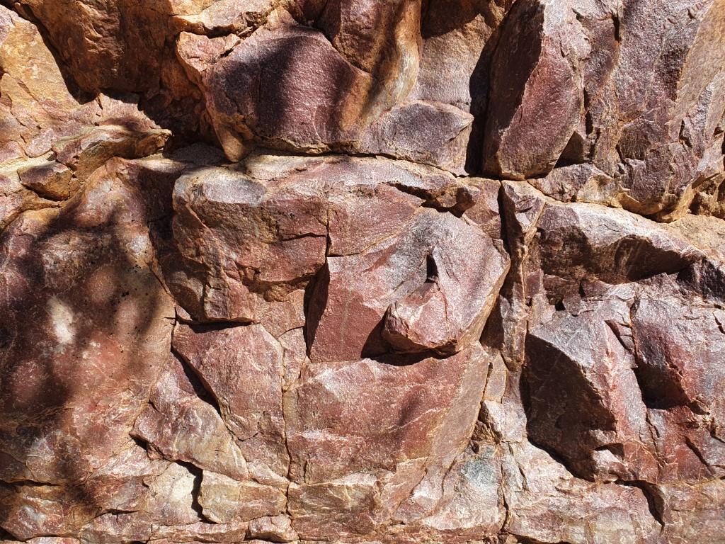
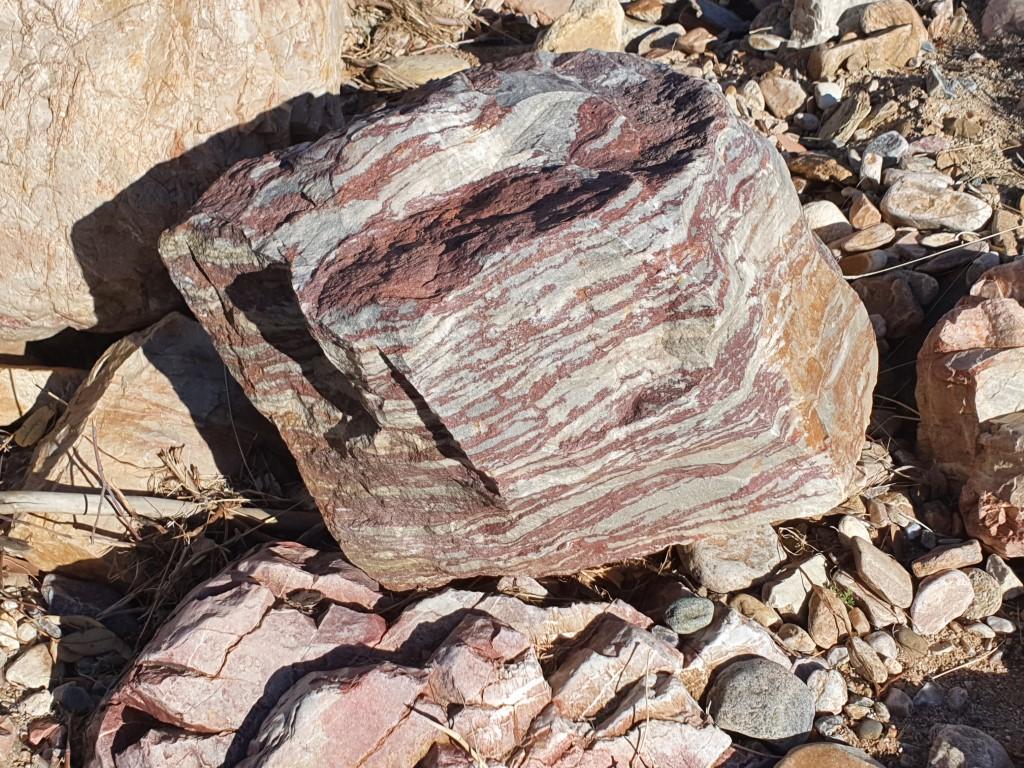
We visited the Ochre Pits on the day that we went sight-seeing along the Western MacDonnell Ranges. They are a very sacred site to the Arrernte people of Alice Springs and played a vital part in indigenous trade prior to colonisation.

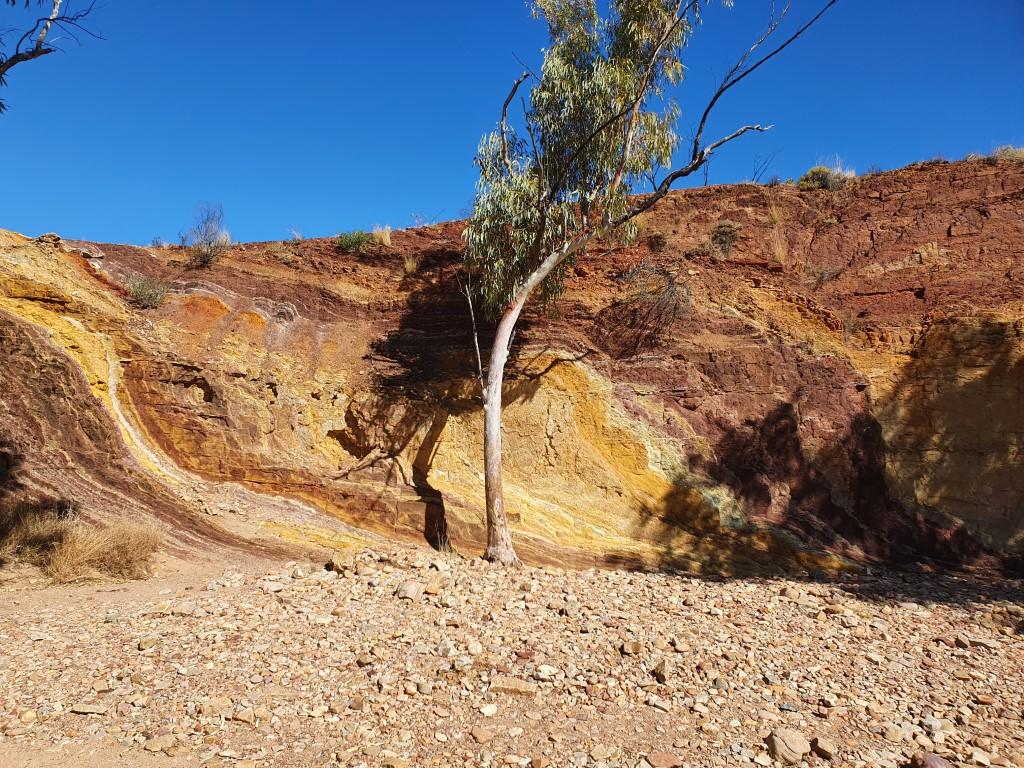
The ochre is dug out of the uplifted layers of coloured rock ranging in colour from grey/white through gold, brown/red to crimson.
Ochre from this particular pit has been traced as far as coastal Queensland showing the extent to which it was valued for ceremonies and rock art.
The MacDonnell Range ochre is particularly fine and when mixed with goanna or emu fat has a slight sheen to it. Only men were allowed to dig the ochre from the Ochre Pits. Women were permitted to use it after the appropriate rituals and ceremonies performed.
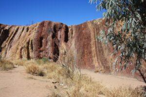
The Ochre Pits are reminiscent of the ‘Coloured Sands’ at Teewah Beach near Noosa in Queensland with their striped layers rising the earth along the cliff face. They’re a must to visit in this area and give a real sense of why culture is so important to indigenous peoples of central Australia and why it must be preserved for their future.
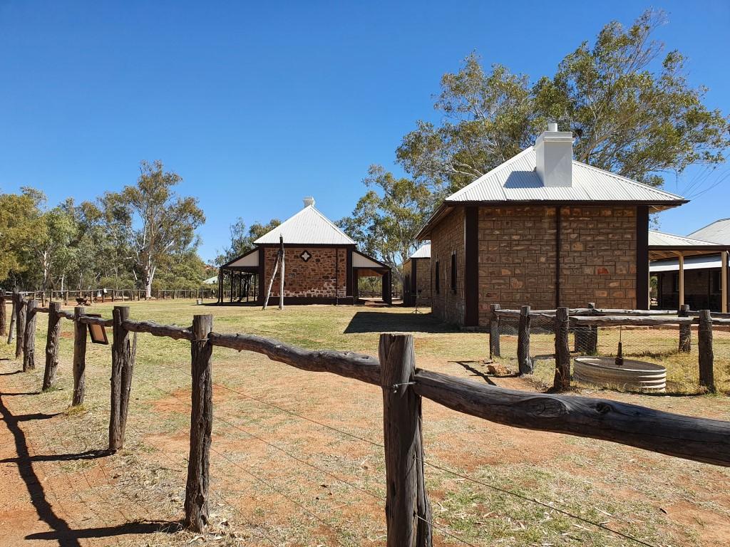

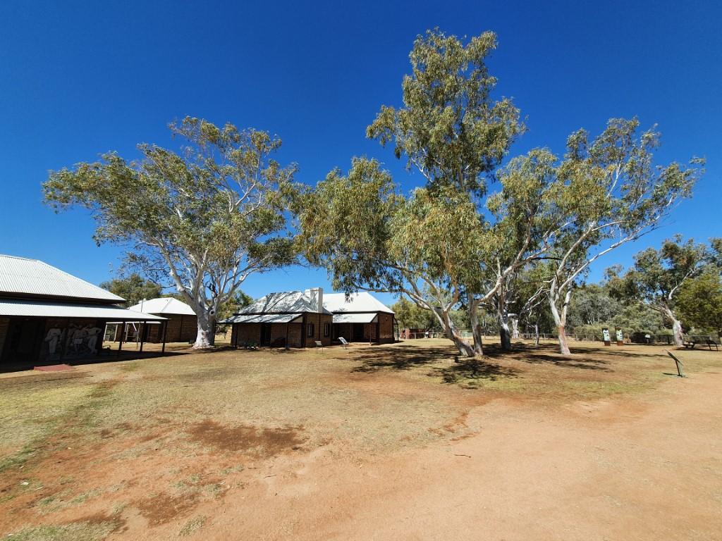
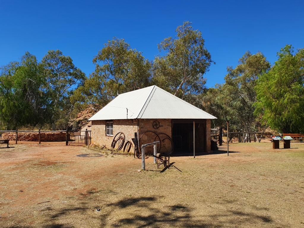
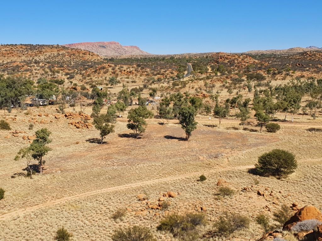
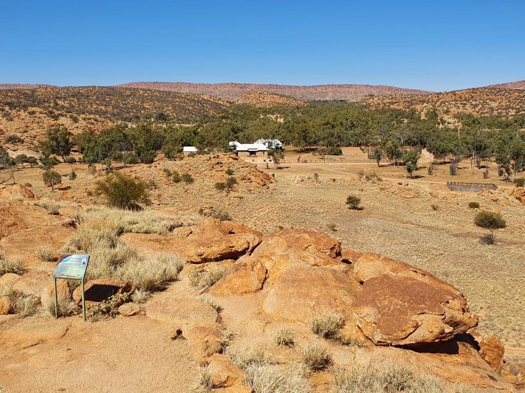
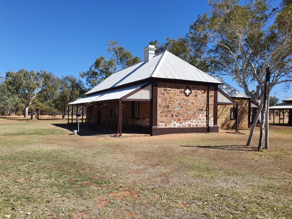
Alice Springs Telegraph Station
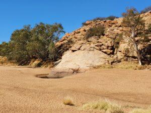
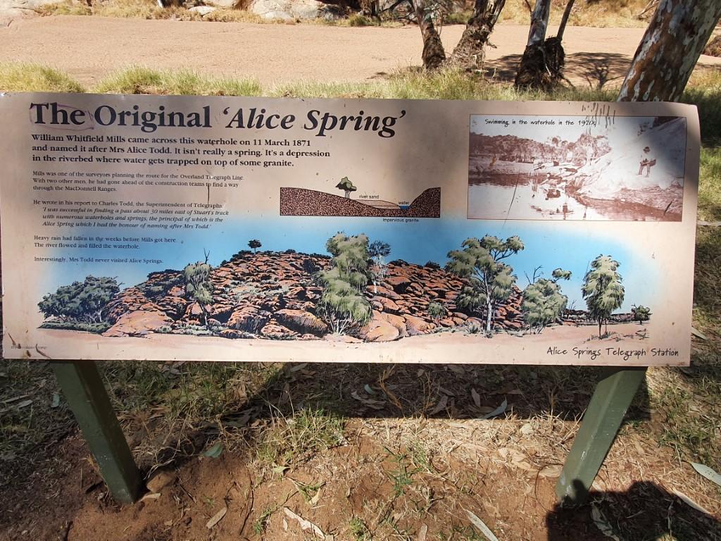
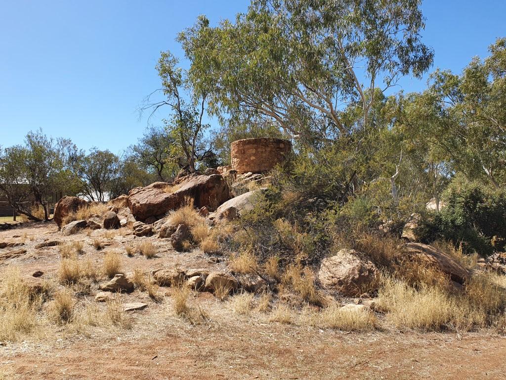
Alice Springs began as a settlement to the west of it’s current location called Stuart, named after the explorer John MacDouall Stuart. A telegraph repeater station was built at the location a permanent water hole that was thought to be a spring that could supply valuable water to the settlement.
The Australian Overland Telegraph, a mighty feat of engineering in it’s own right, was built by Charles Todd and Alice Springs is named after Charles Todd‘s wife, Alice, and the fresh water spring found in the normally dry Todd River.

So… as we were to learn on our vist to the Alice Springs Telegraph Station, Alice Todd was very flattered to learn that the town had been named after her but declined the offer to visit the place. Also the ‘spring’ is not actually a spring, just a water-hole that generally has water in it.
As such, the ‘spring’ is not a spring and Alice never went there…
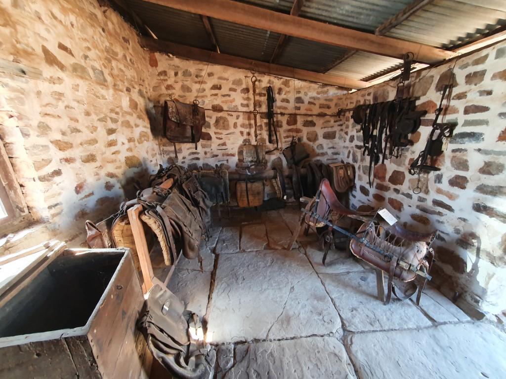
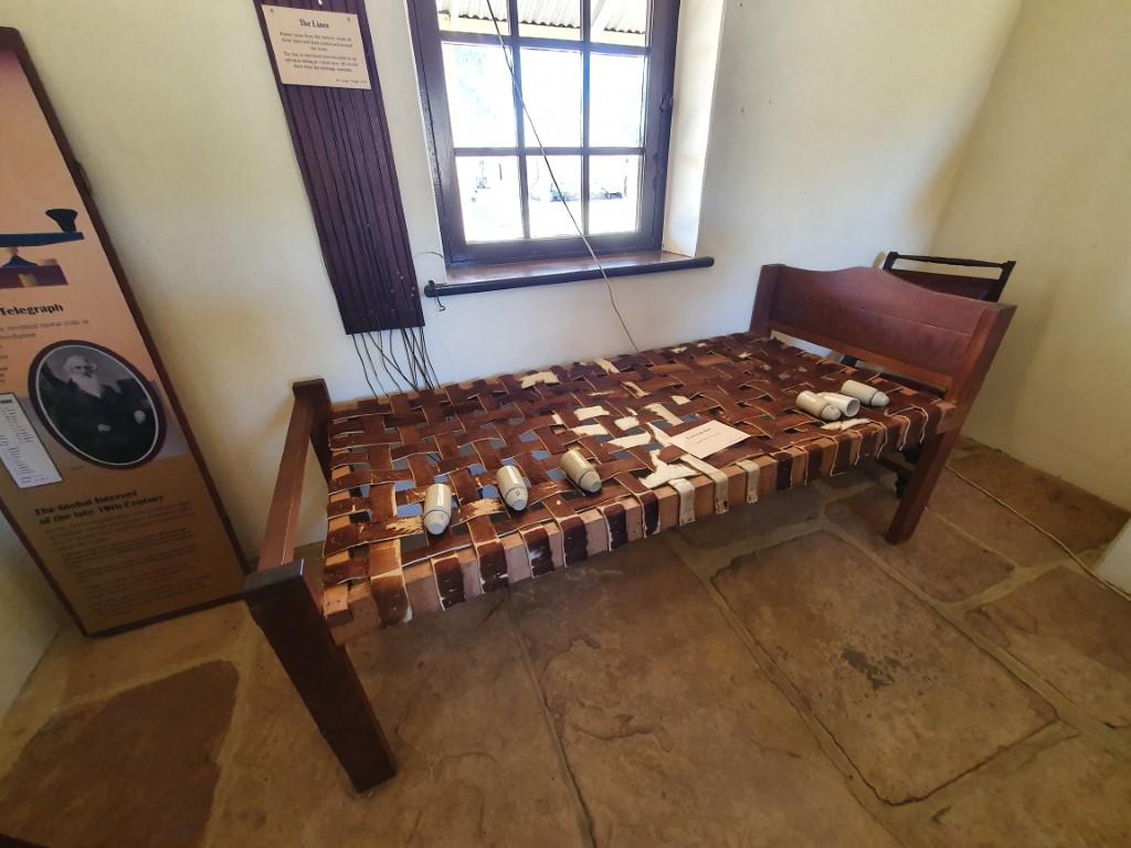
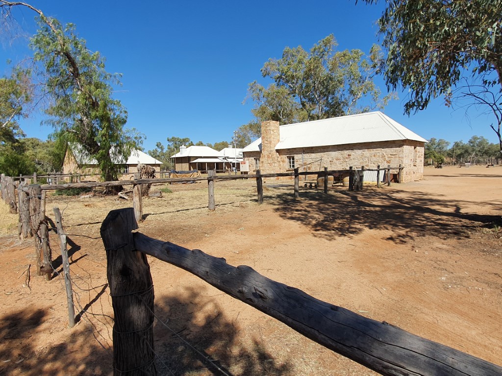
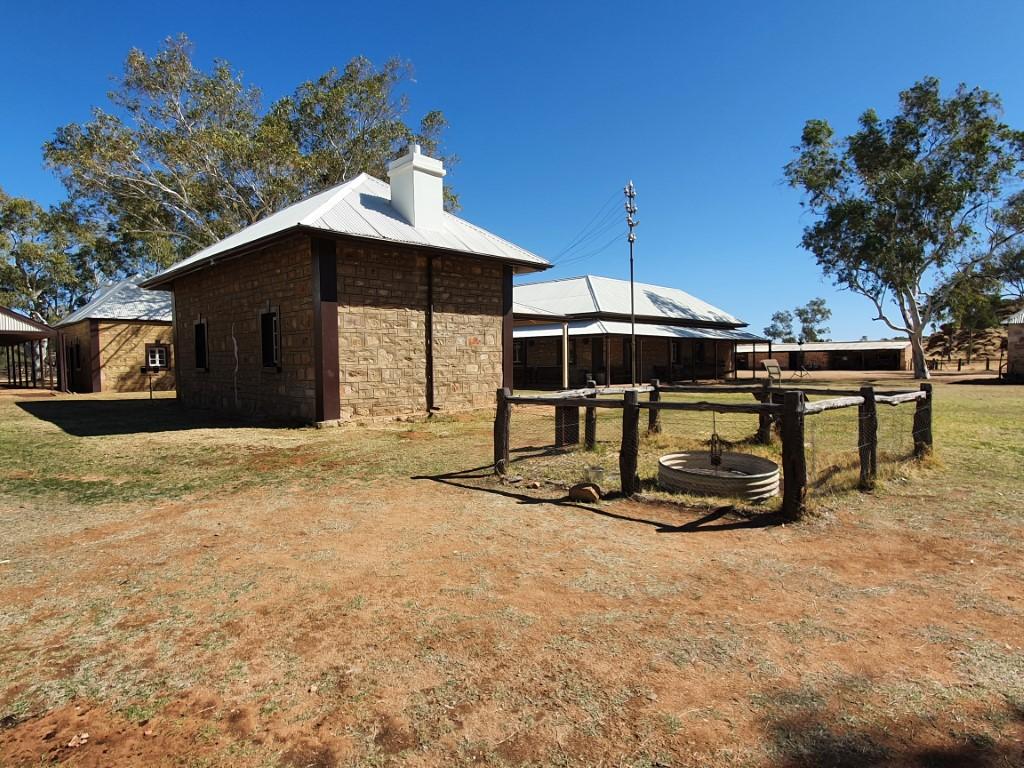
In any case, the Alice Springs Telegraph Station is a fascinating place to visit and you quickly learn how amazing this place was in the history of Australia. The Australian Overland Telegraph was the internet of it’s day. Sending a letter via ship to the U.K. could take anywhere from four to eight months one-way. The new-fangled overland telegraph cut this time down to a matter of hours via the series of repeater stations from Adelaide to Darwin of which the Alice Springs Telegraph station was one.

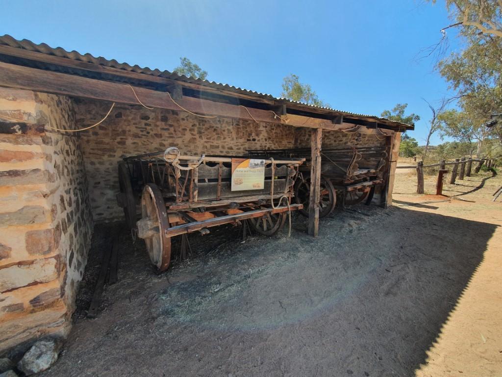
Life was tough though, with supplies only coming in once a year via camel train so order had to be meticulously planned months in advance and the one-hundred and eighty chemical glass jar batteries that powered the lines requiring constant maintence every few months.
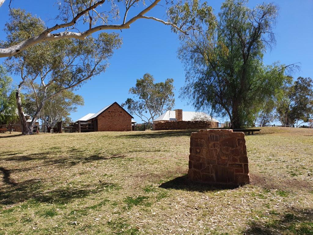
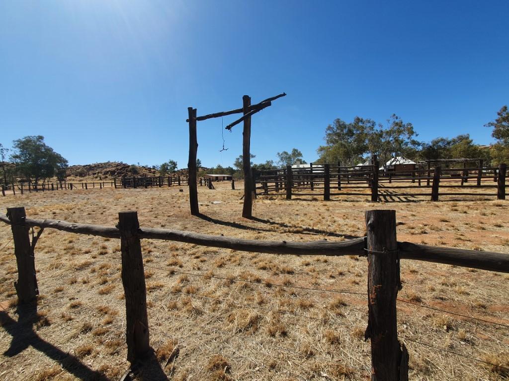
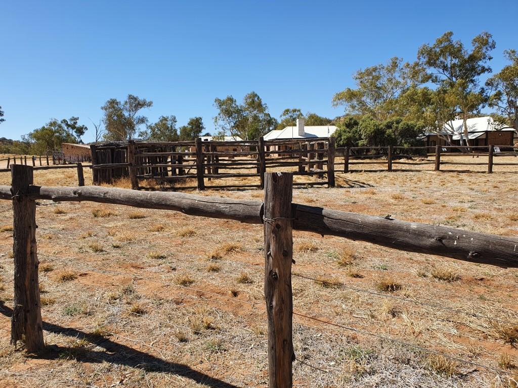
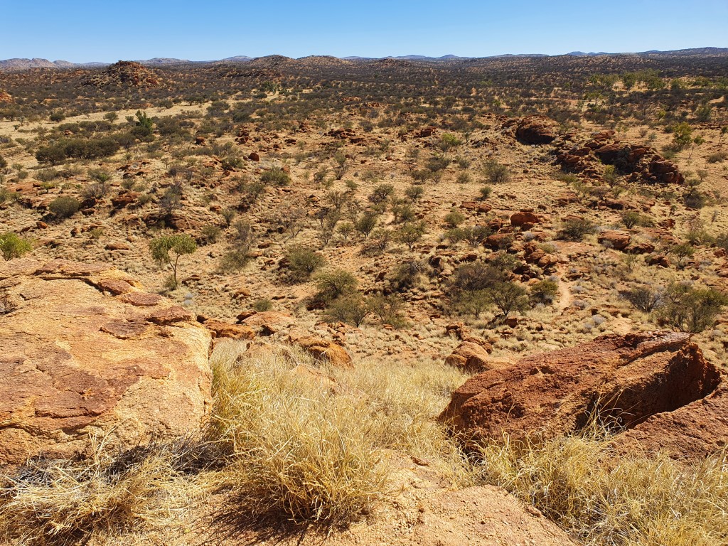
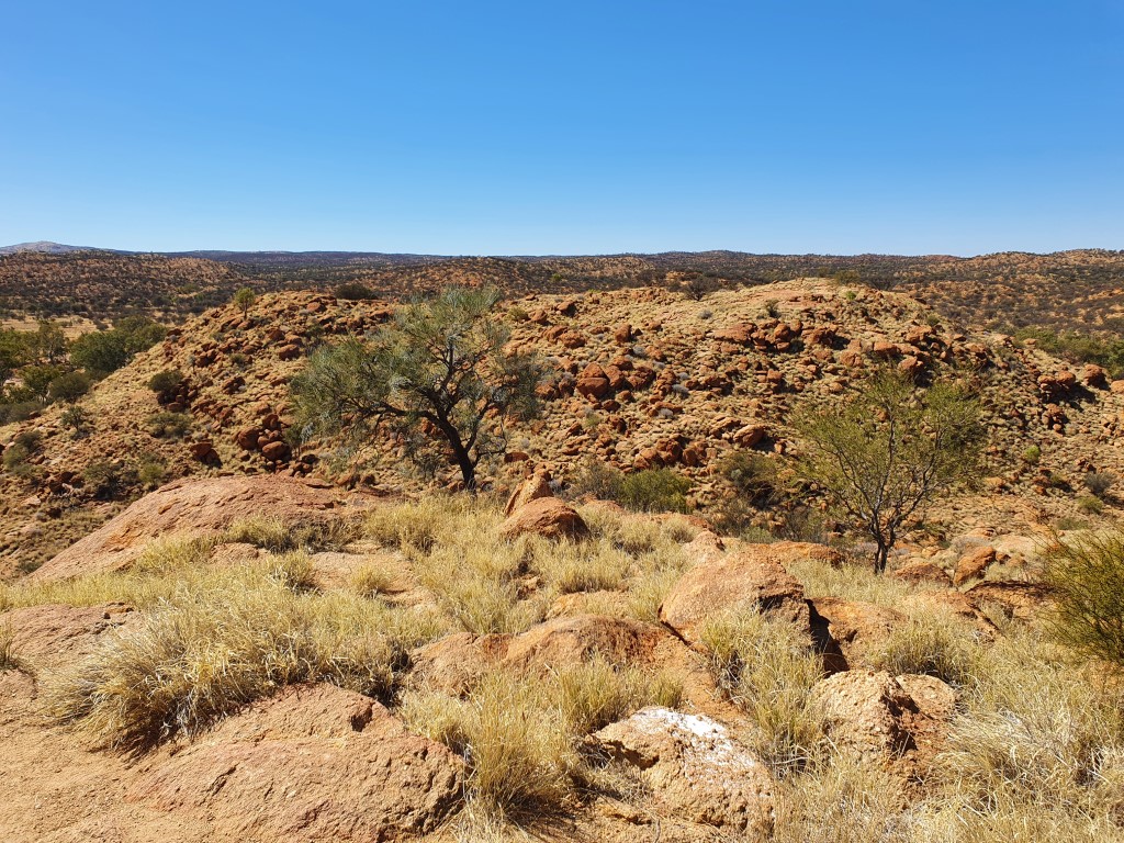
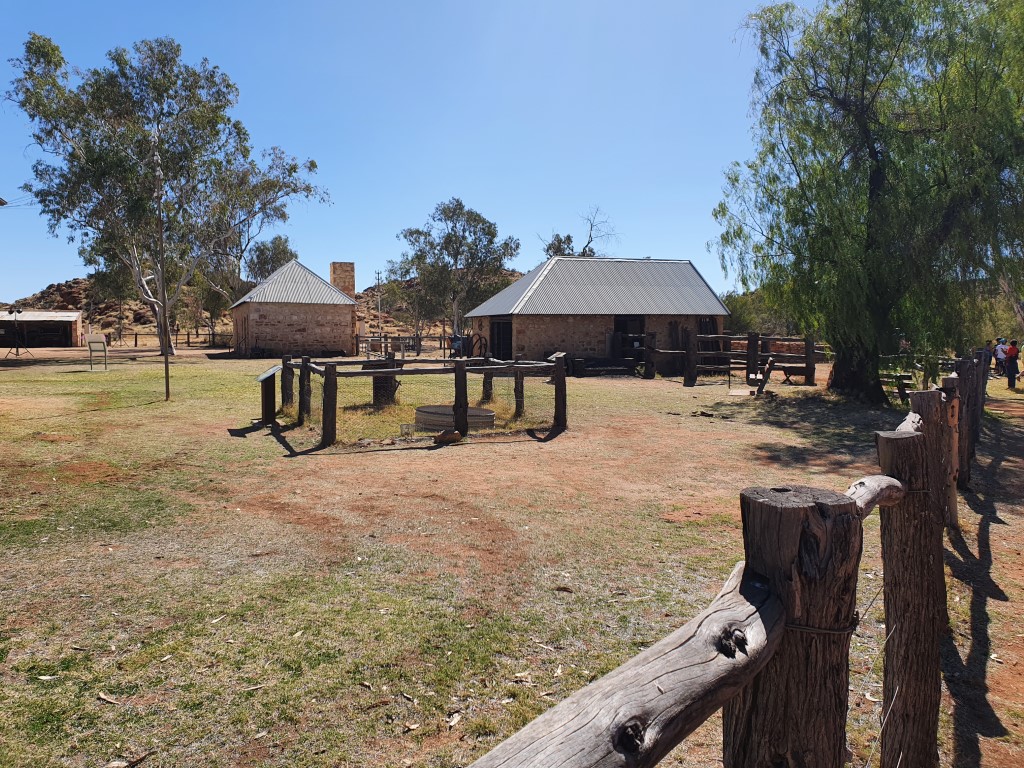
The station these days has been carefully restored and kept as a museum to celebrate this historic piece of outback ingenuity and perserverence. It’s also used a function venue with a crew of people setting up an outdoor function, in the dry dusty wind, whist we were there.

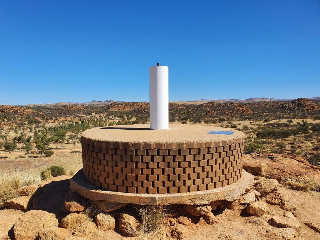
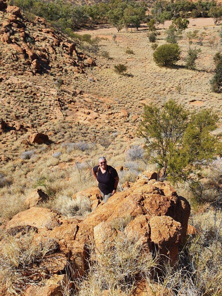
There was also a mountain bike race going on there whilst we visited that looked like sheer torture in the harsh dry heat. We watched a few riders struggle past along the track and also looking down upon the from the trig station on the hill adjacent to the station.
We enjoyed our visit there very much and it was well worth waiting for the guide talk that explaned the history and operation of the station and its huge impact on Australian communications back in the day. Every bit as amazing and disrupting as the internet is today…
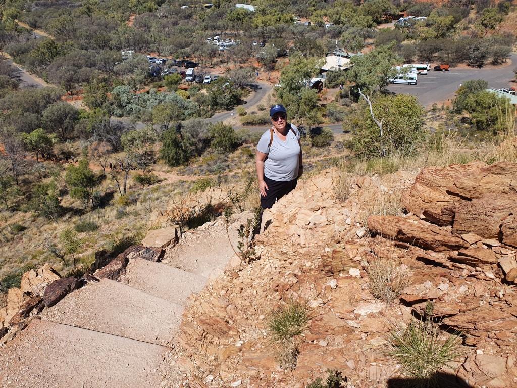
ANZAC Hill
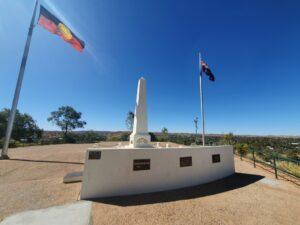
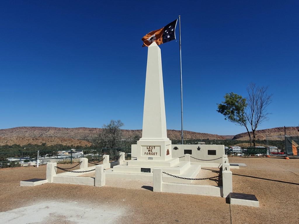
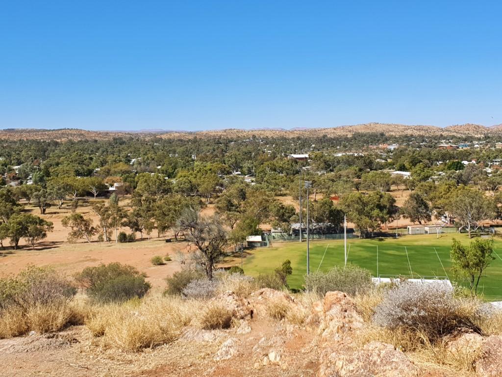
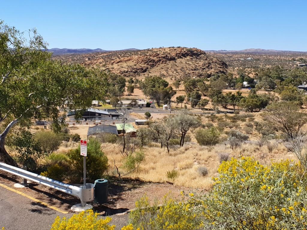
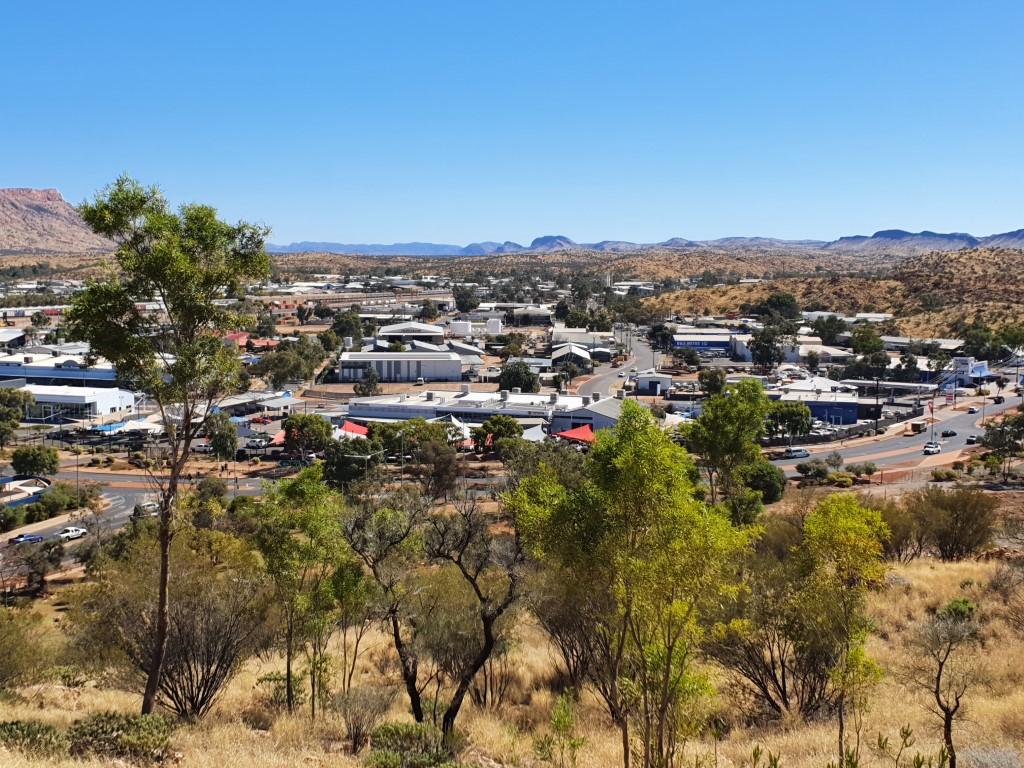
There is a tall hill in the centre of Alice Springs that has been turned into an ANZAC memorial covering all of the warsthat Australian service men and women have been involved in, including some of the lesser known minor conflicts. ANZAC Hill is manages to be a solemn and respectful memorial to those service men and women as well as being an excellent viewing lookout providing sweeping 360 degree views of Alice Springs and surrounds.
The drive up is one way and quite steep although tourist coaches can still manage it. The road is lined with placards that denotes each of the conflicts and the services. It’s quite a special place and would no doubt have greater significance for those men and women who were involved or had loved ones involved in the conflicts. Alice Springs should be congratulated for devoting such a beautiful and prominent part of the town to this memorial.
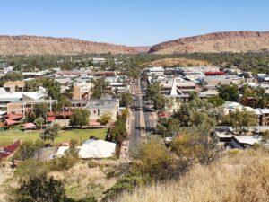
The views truly are magnificent from ANZAC Hill taking in both sides of the MacDonnell Ranges, straight down the main street to The Gap and north along the highway.