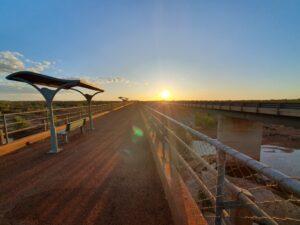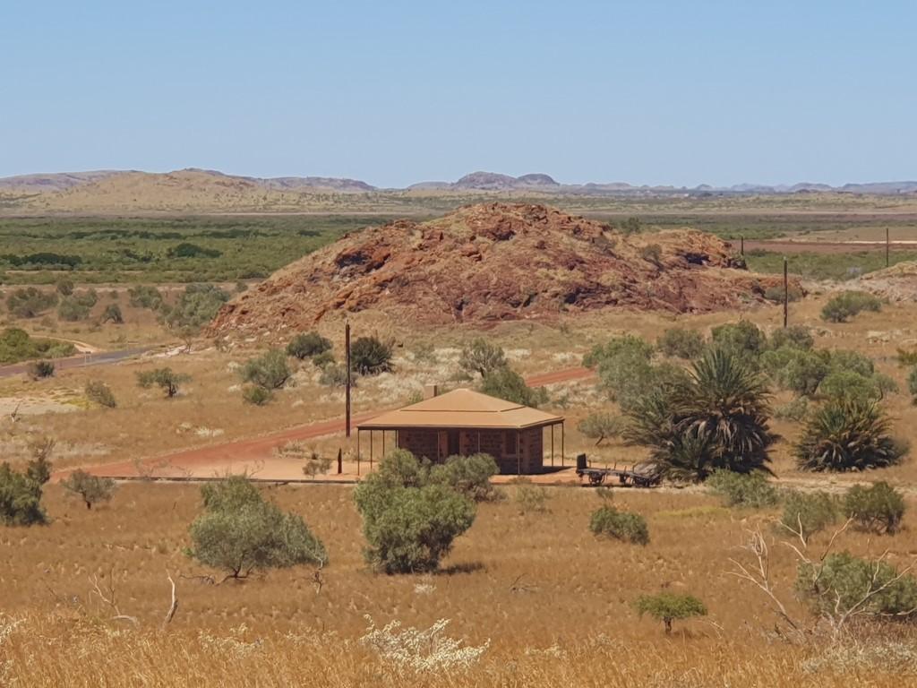


So after a pleasant overnighter at Nanutarra Roadhouse we got going early the next day for the 277km slog to Exmouth and the Ningaloo Caravan Holiday Resort. It’s another drive through the flat arid scrub of the Gascoyne until you get to Burkett Road. At this point you turn west and then make your way north to the Exmouth Gulf and Exmouth.
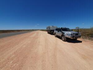
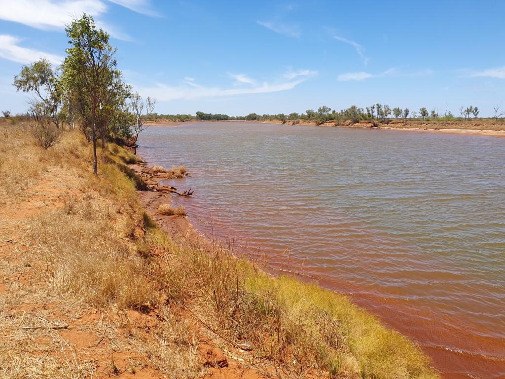
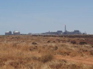
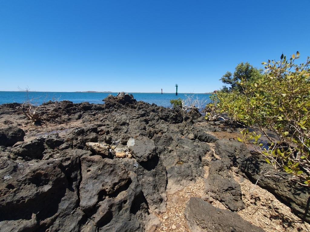
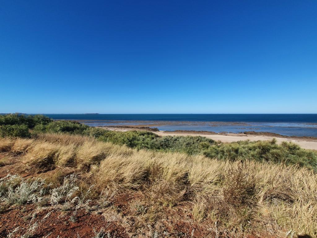
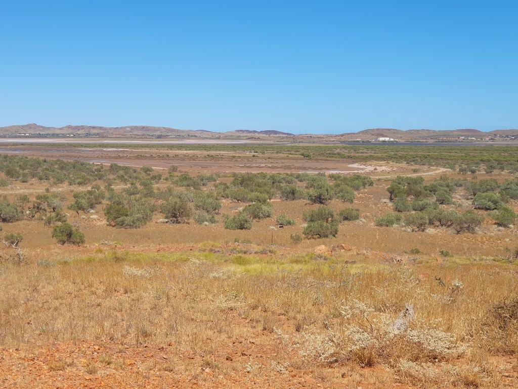
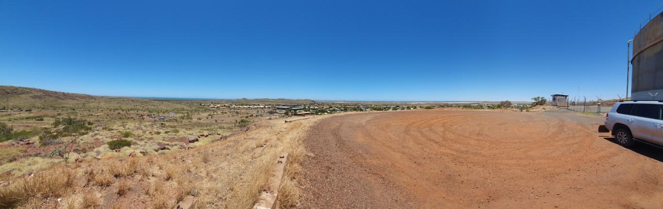
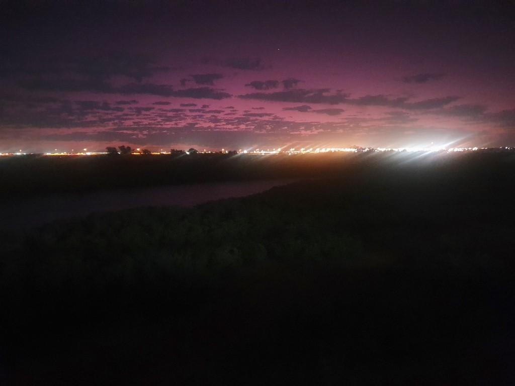
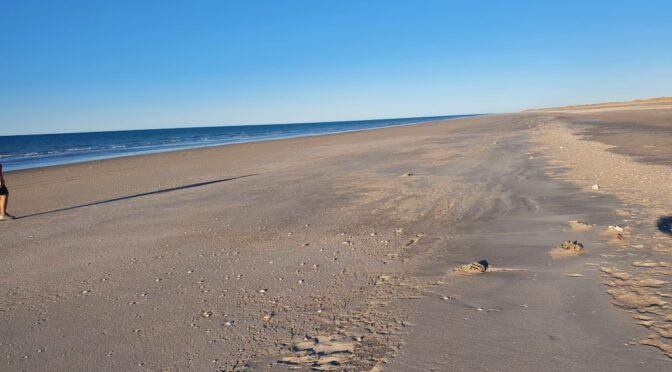
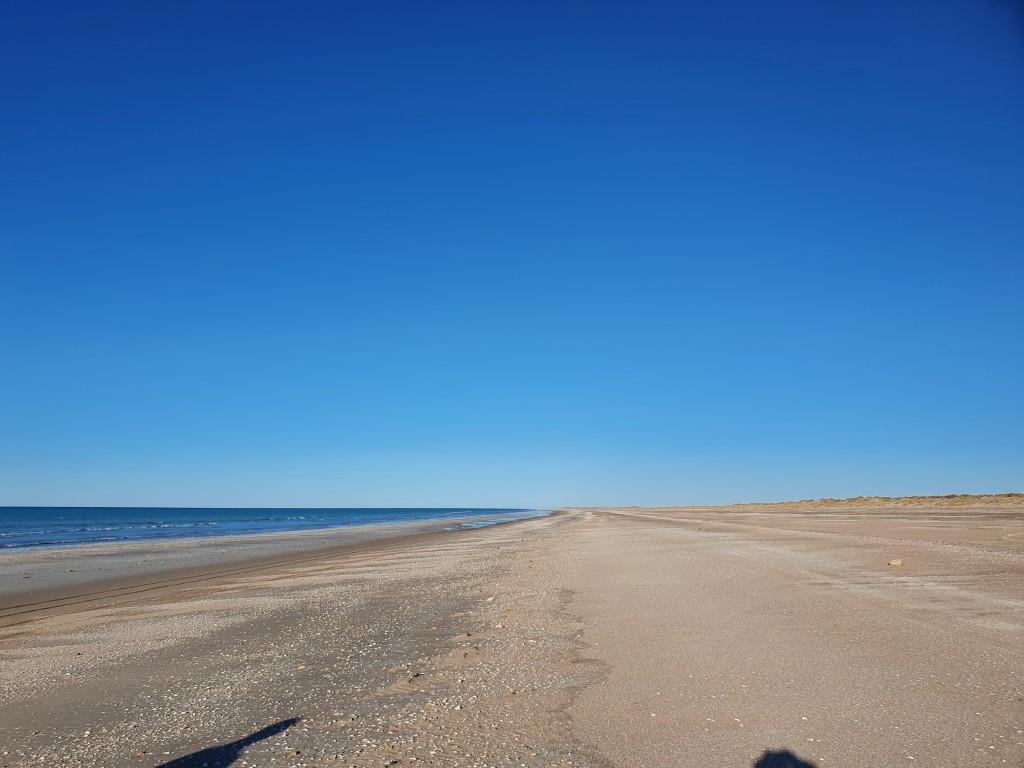
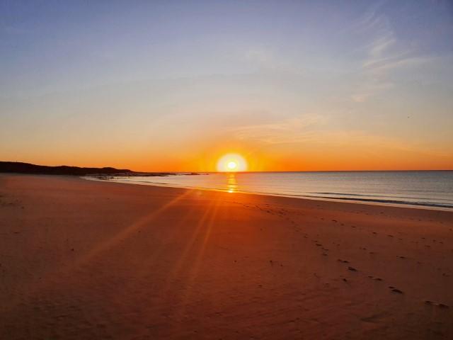
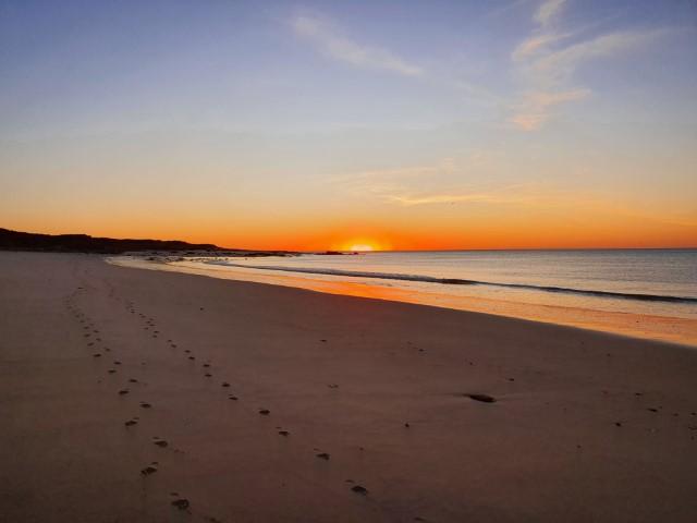
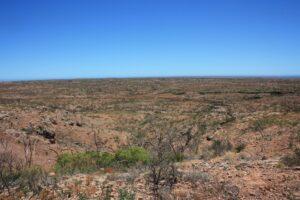
We stooped for a toilet break about 60km south of Exmouth and were struck by just how flat and arid the landscape was despite being so close to the ocean and the Ningaloo Reef. There is an emptiness to Western Australia that is only matched by the Northern Territory. All there is is you, the road, the scrub and the sky…

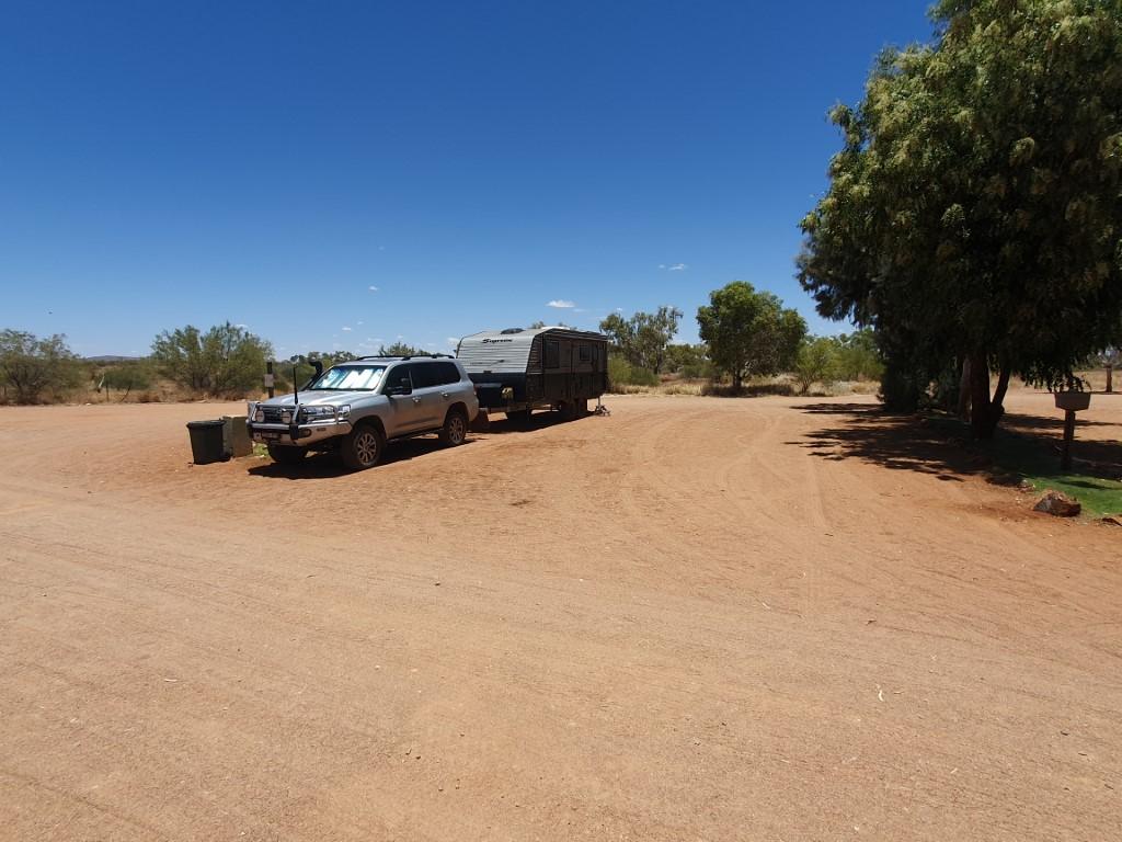
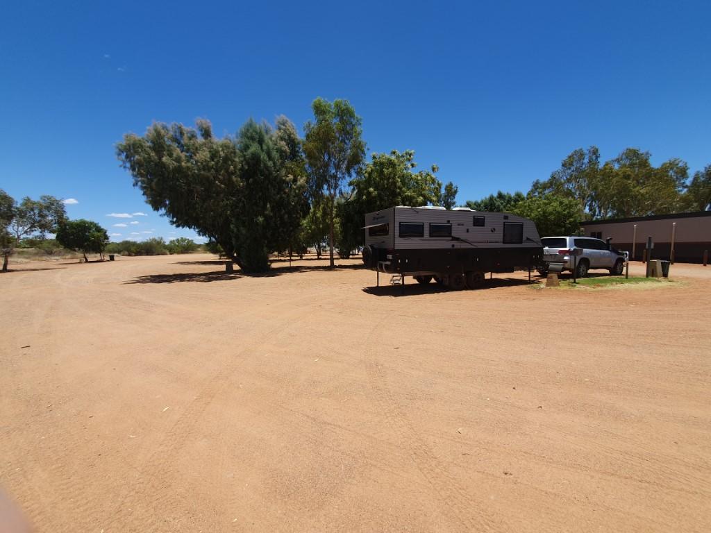
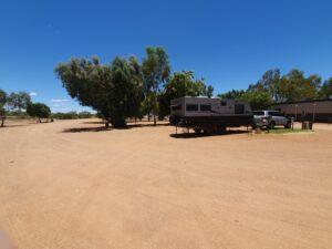
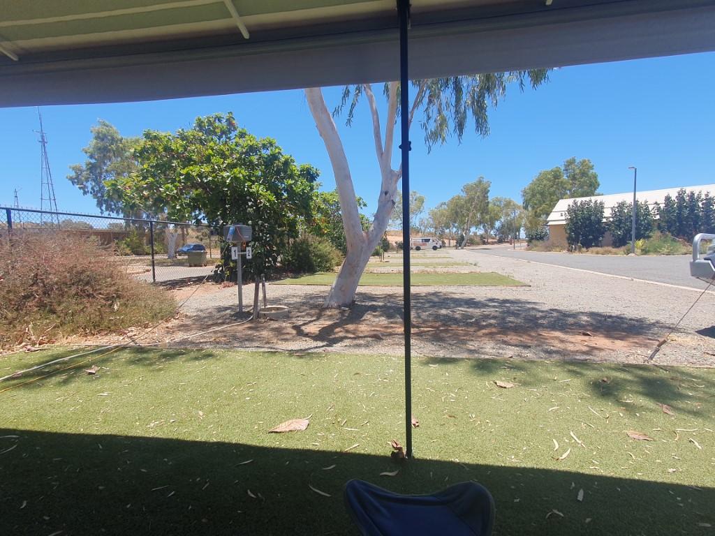
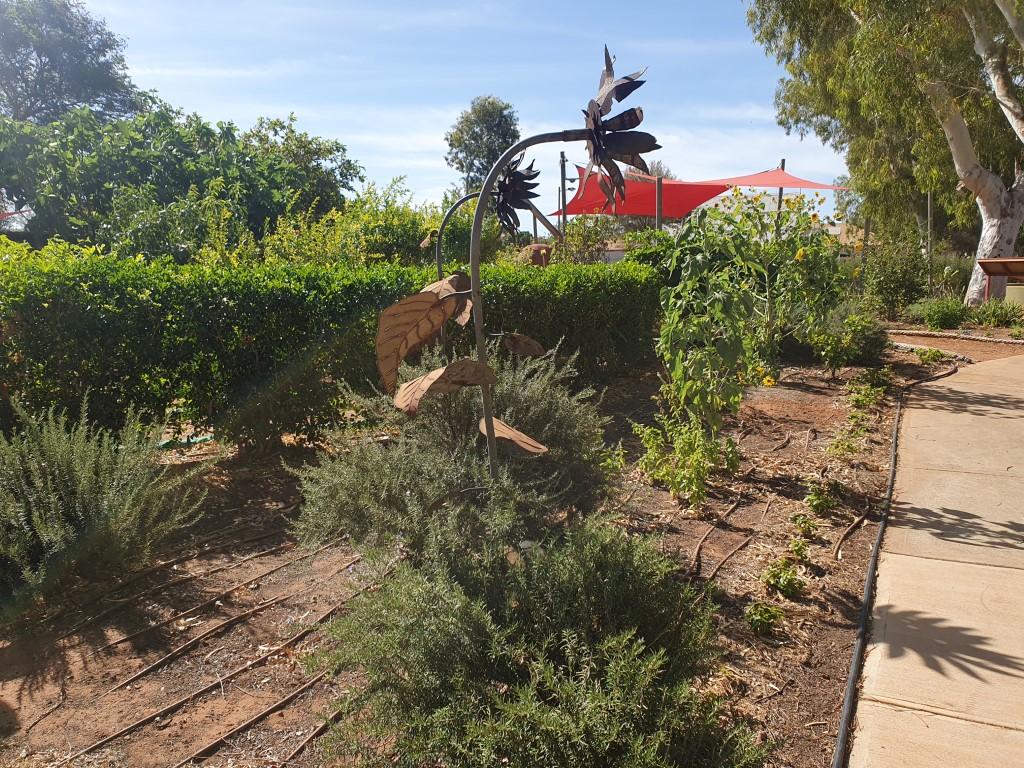
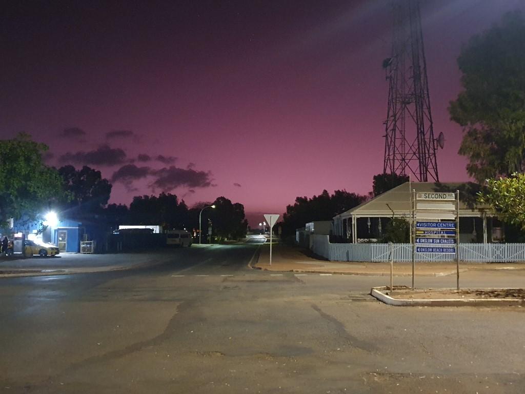
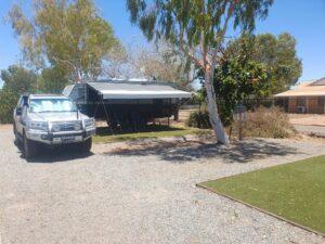
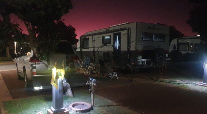
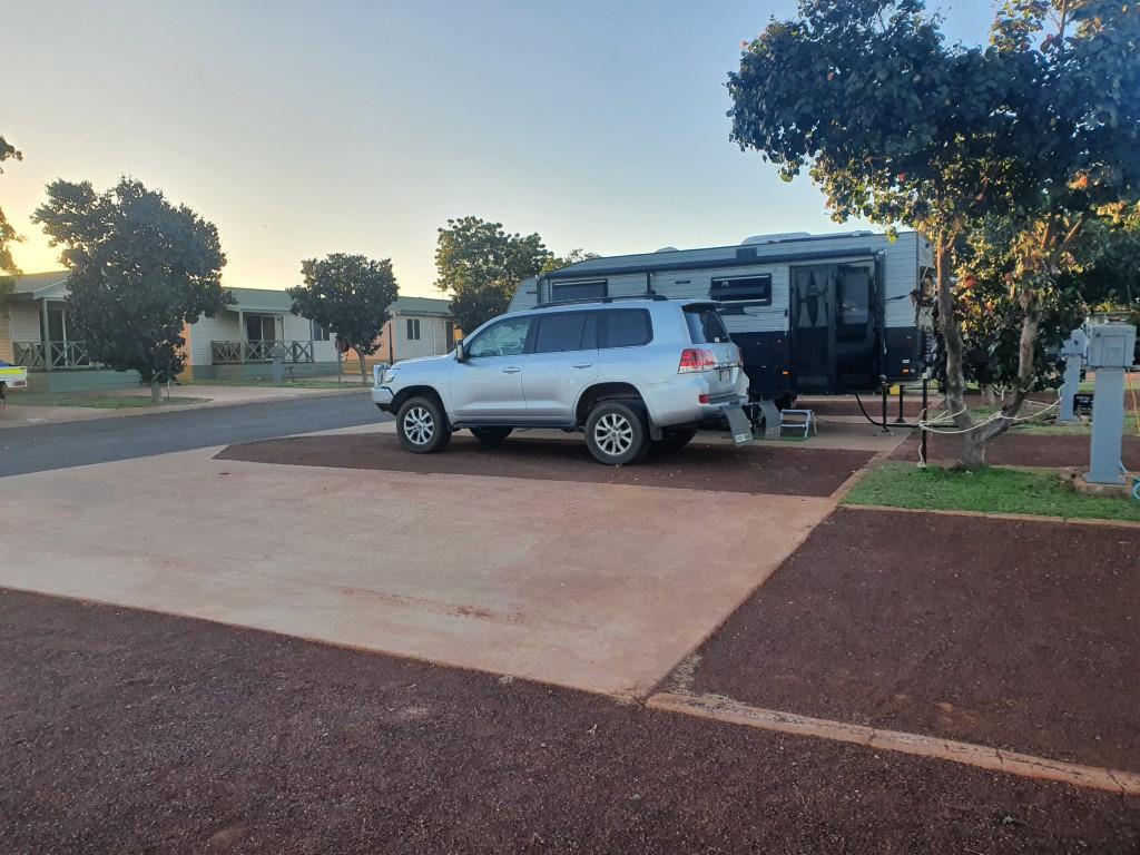
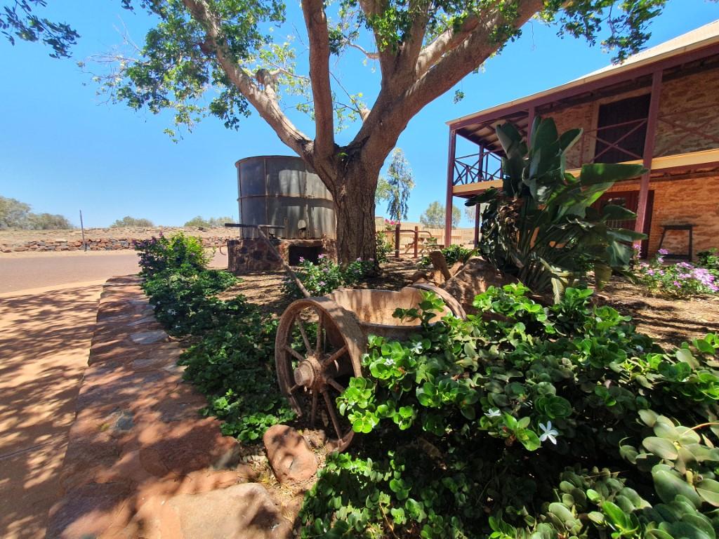
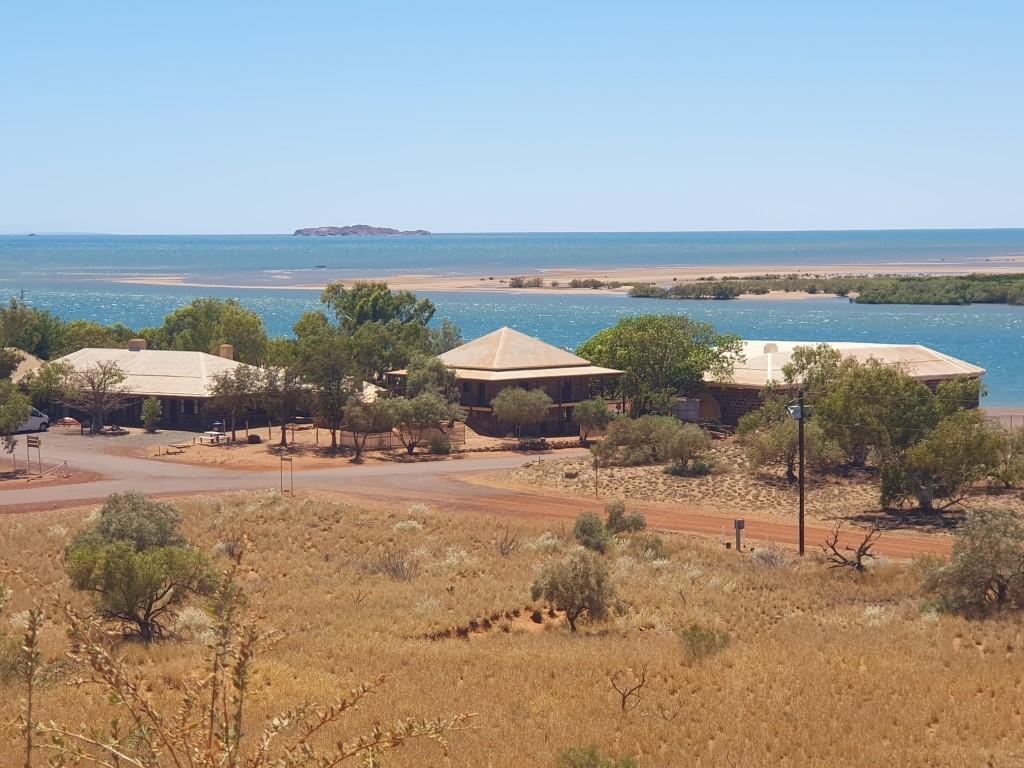
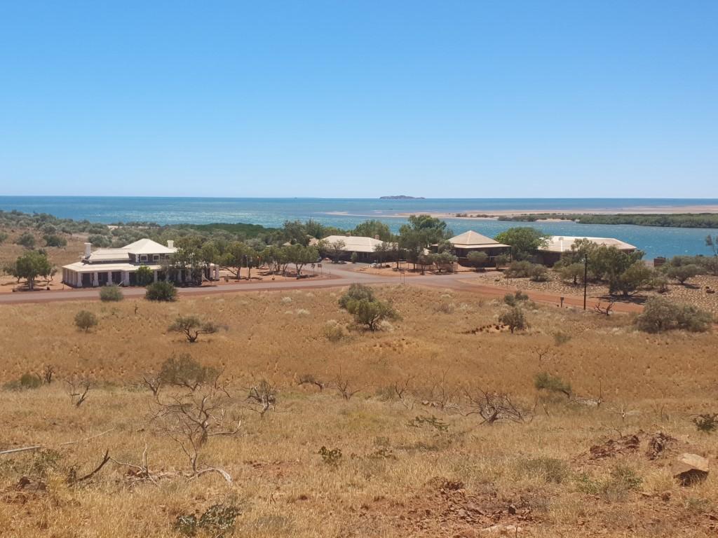
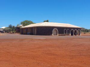
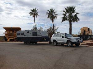
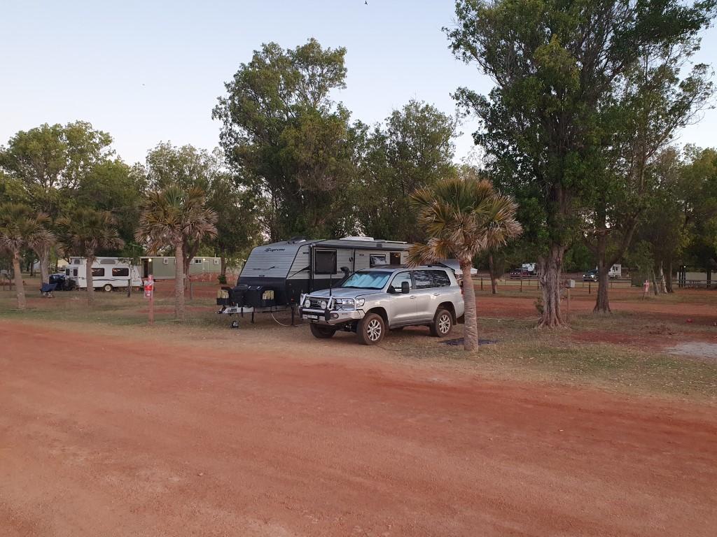
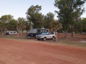
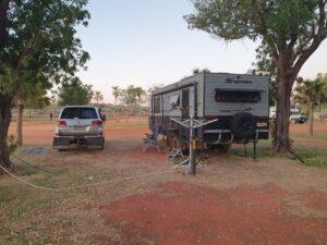
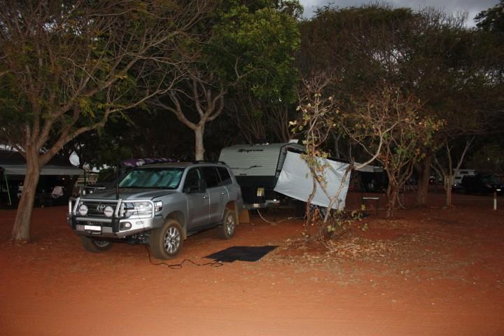
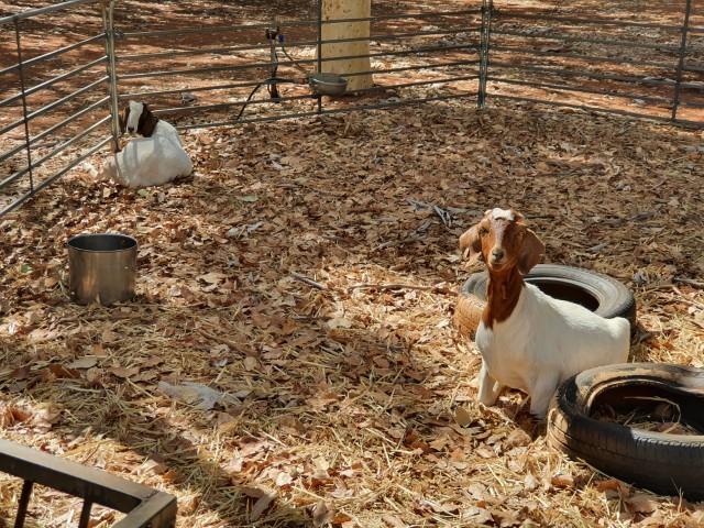
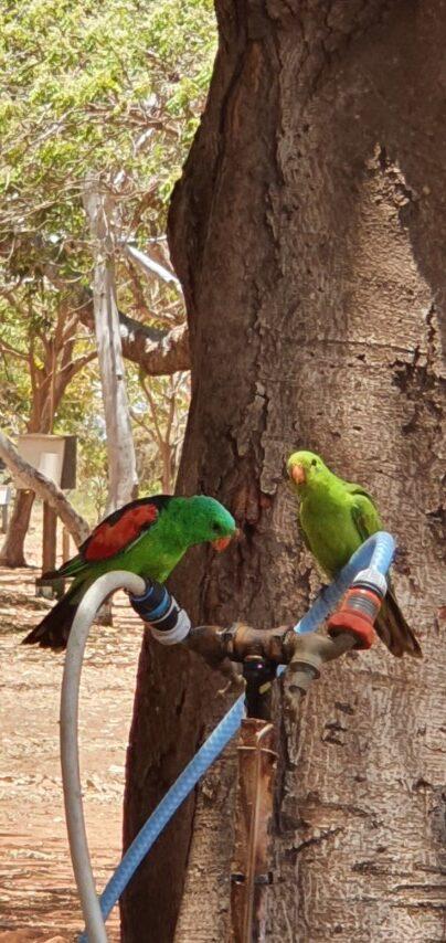
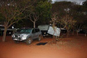
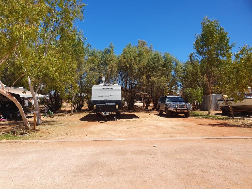
Ningaloo Caravan Holiday Resort is located on the main street, which is set back about 1km from the main beach on the Exmouth Gulf side. It’s a very big caravan park with a few different sections and one of the best pools that we’ve come across. Our site was massive with more than enough room to have the van with the annex out and the cruiser all comfortably side-by-side. It was a red dirt base and getting tent pegs in for the annex was a bit of a saga with Rob having to continually straighten out bent pegs. Each peg would go in about 4cm and then hit some sort of crust that was like rock about 10cm thick. Once through that the tent pegs were in tight but relatively easy to take out by simply twisting them backwards and forwards.
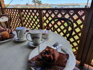
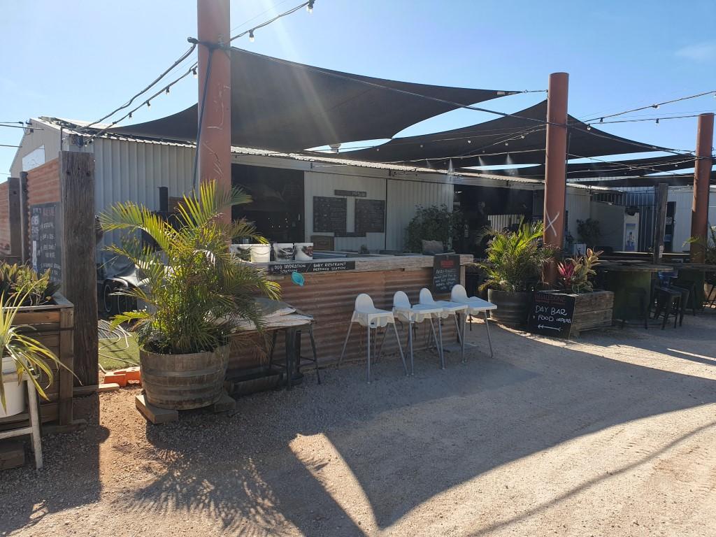
Having unhitched and setup we caught up again with Sandy and Gary who were also staying in the same park. They had taken a different shedule and route from Point Samson to get to Exmouth. It was great to catch up with them again and swap tales since meeting them in Point Samson. We enjoyed a drink and a meal at the Whalebone Brewing Company and they asked us if we wanted to join them on a glass bottom boat cruise and snorkel over the Ningaloo Reef, which we accepted.
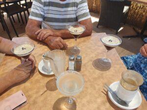
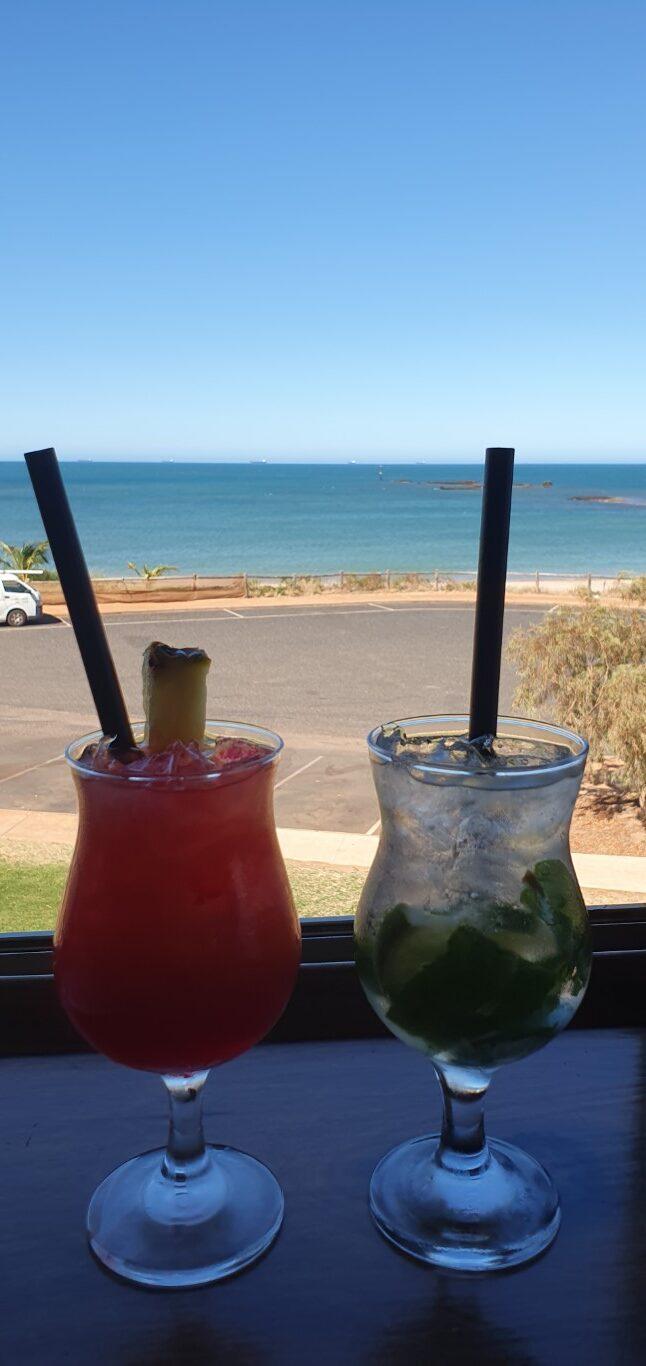
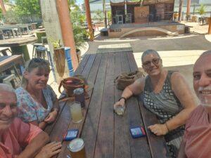
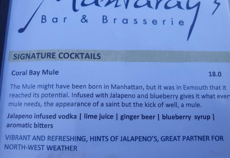
We also spent one afternoon with Sandy and Gary at Mantarays Ningaloo Resort for their cocktail happy hour. We were told that it was a good place to enjoy a cocktail as the sun went down. And although it was a beautiful setting near the resort’s pool, the sun actually set behind us so it didn’t turn out to be a sunset drink. Rob did however discover the ‘Coral Bay Mule’, which was the resort’s take on a ‘Moscow Mule‘. See the recipe below… It’s a new favorite cocktail…
Sandy and Gary must have enjoyed our company because we also had a couple meals at the Adrift Cafe, which had cheaper cocktails, great food and exceptionally good service. By the end of our time in Exmouth we were comparing travel plans and agreeing to catch up again as we travelled along.
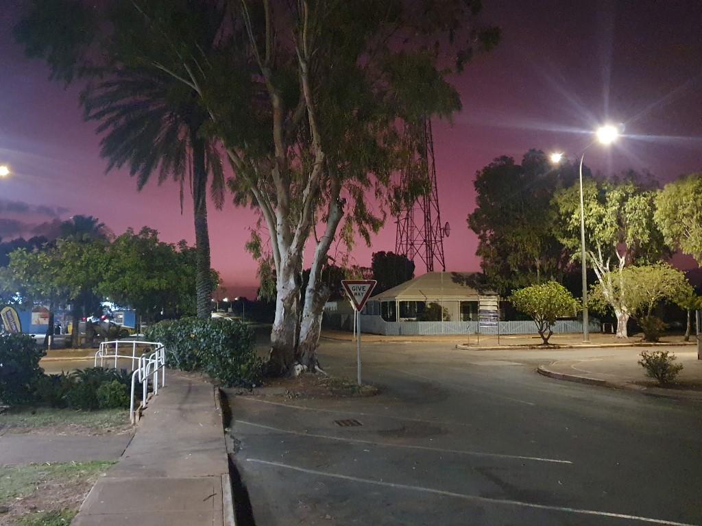
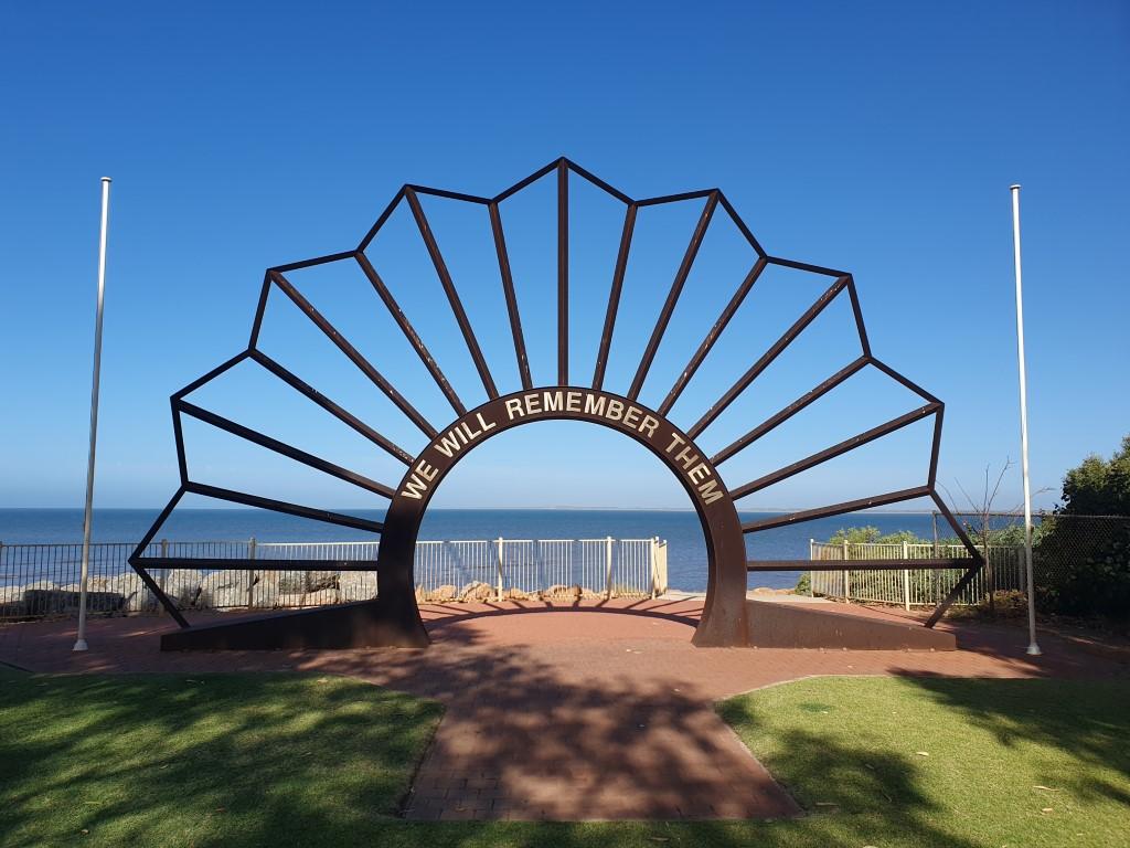
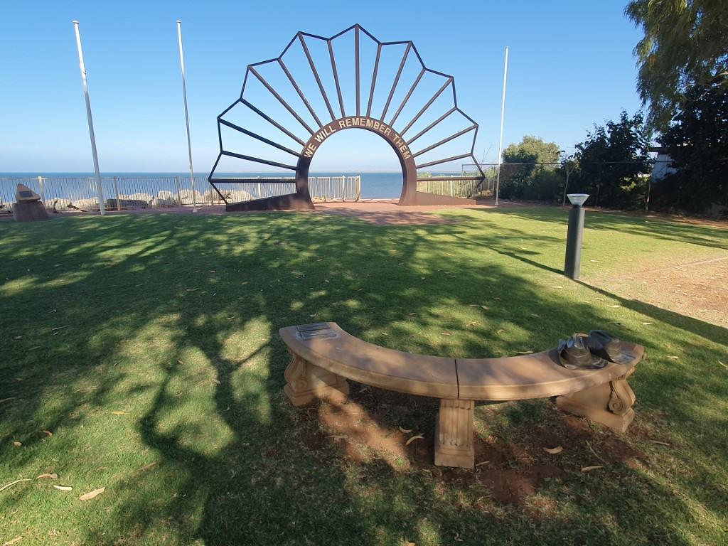
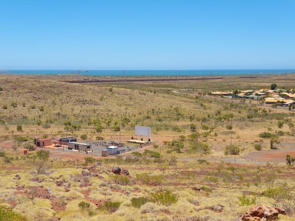
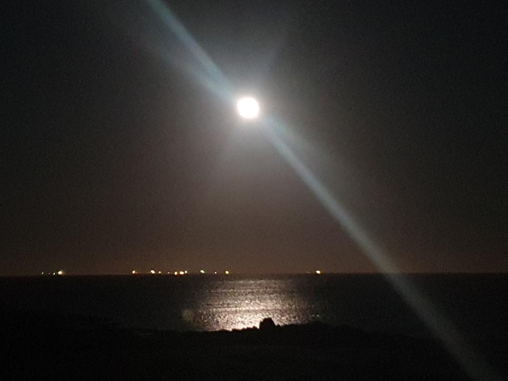
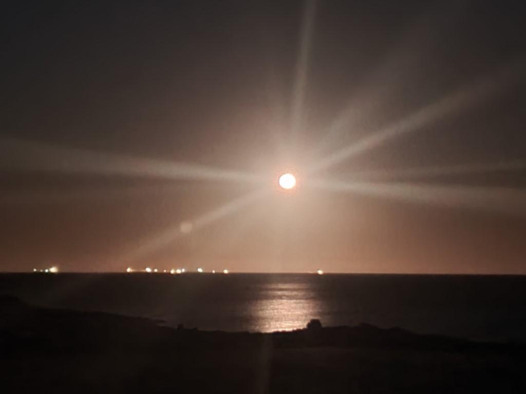
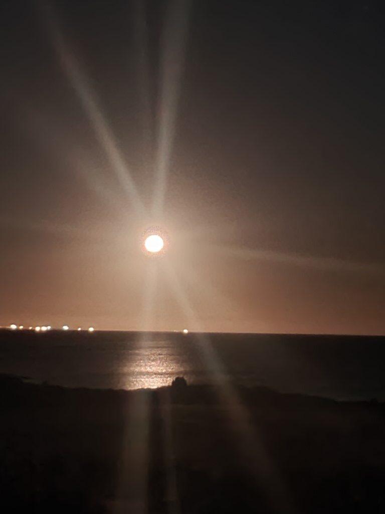
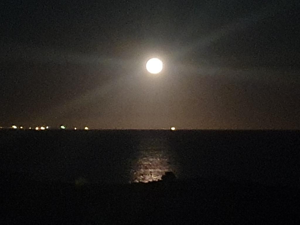
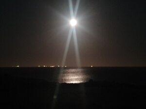
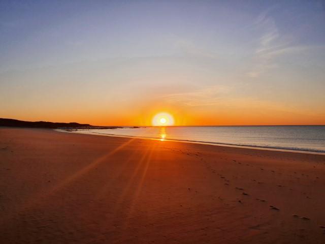
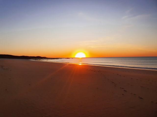
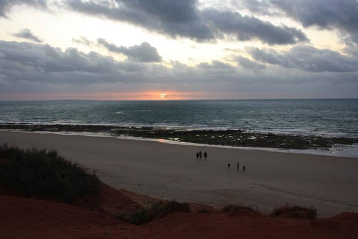
Exmouth is a very casual kind of town. It’s still quite remote but because of the Ningaloo Reef it’s a very touristy kind of place; but not overtly touristy like Noosa or Byron Bay. It still has a rawness to it that matches the arid surroundings and remoteness of it’s location. We really enjoyed Exmouth and it signalled good times ahead as we began the long haul down the central west coast of W.A.
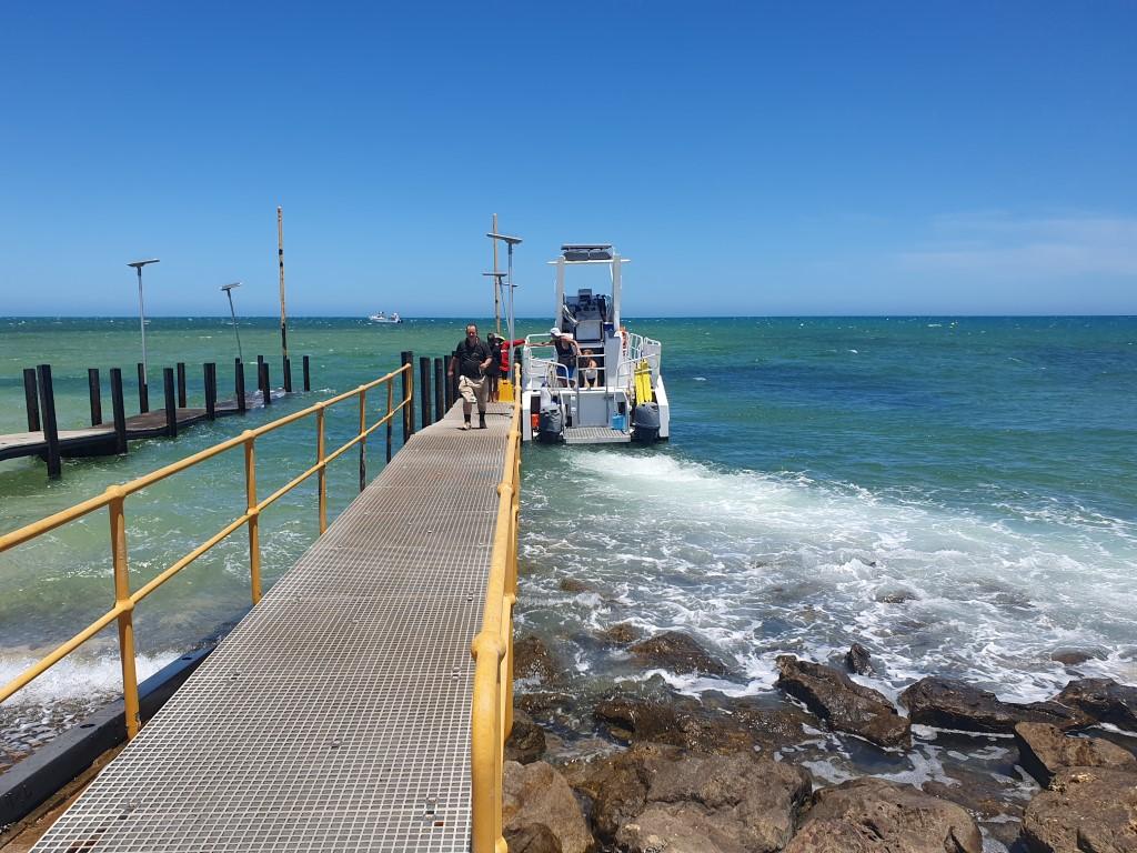


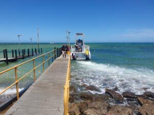
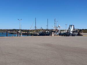
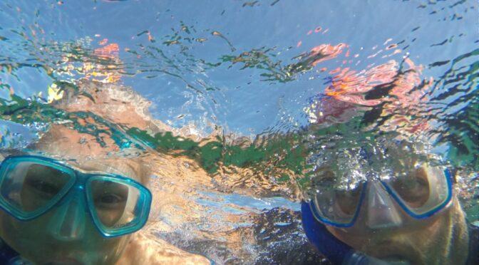
So the morning after we arrived in Exmouth we found ourselves driving to the Tantabiddi boat ramp to board a glass bottom boat for a two hour cruise and snorkelling trip. Exmouth is regarded as the gateway to the Ningaloo Reef and having a chance to see the reef close up was too a good a chance to pass up.
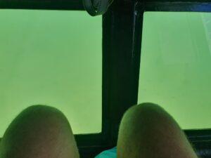
The View Ningaloo semi-submersible boat was a deceptive craft that was actually a lot larger than it looked. It had a catamaran hull, making it very stable in the water. We boarded from the rear and s set of steps took you down to two rows of seats where the outside of the hull was a series of glass viewing windows that provided an excellent view of the sea bottom below.

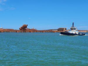
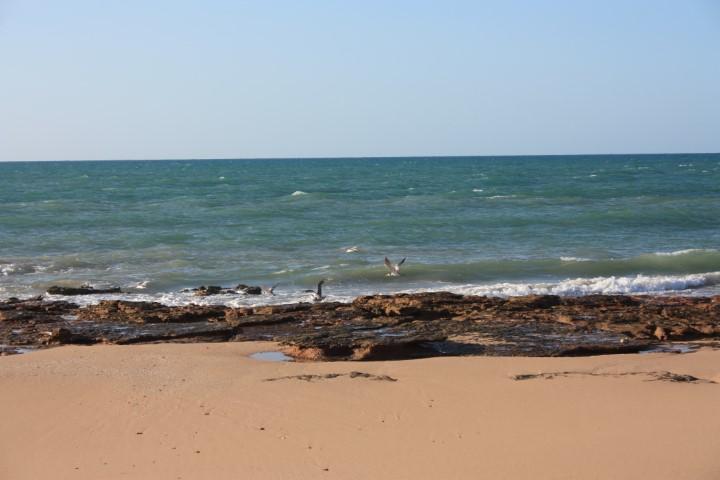
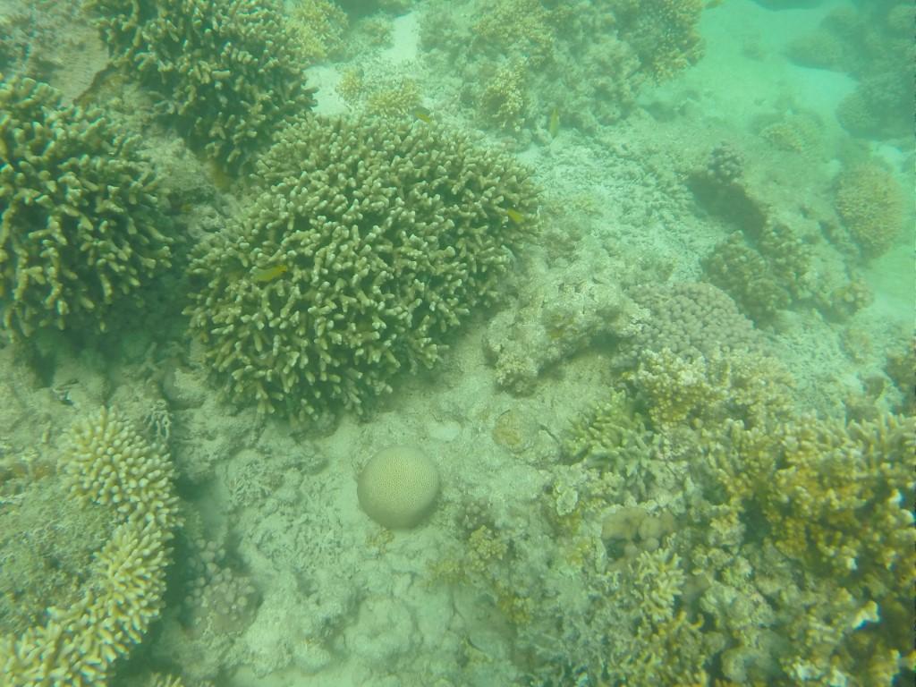
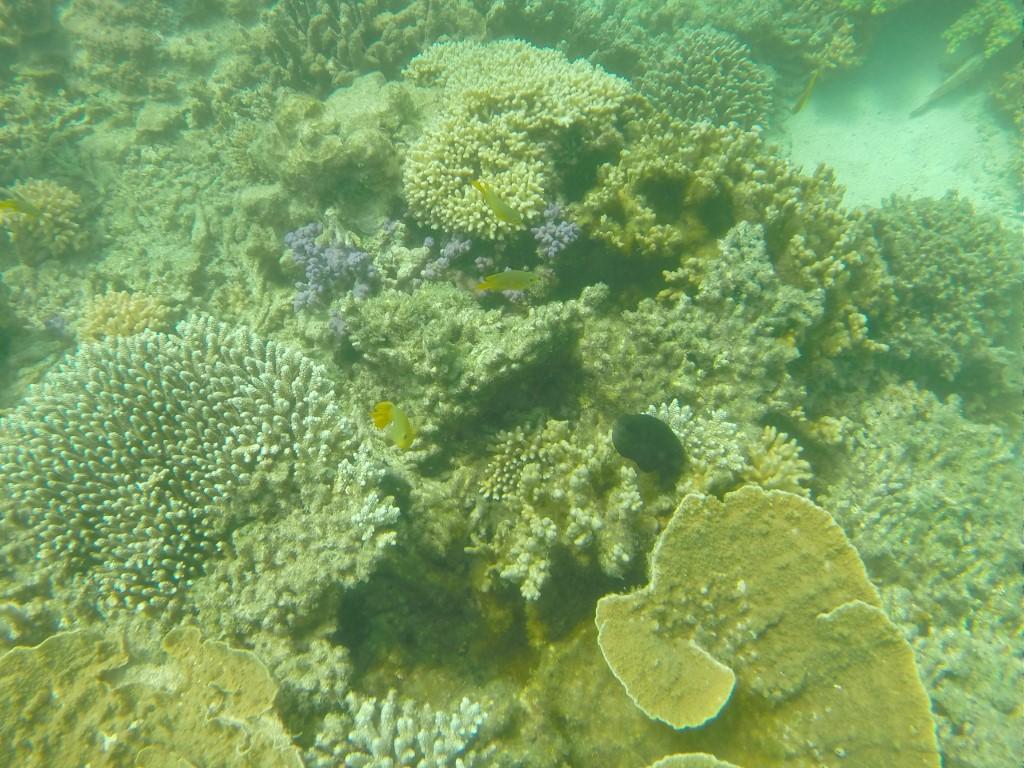
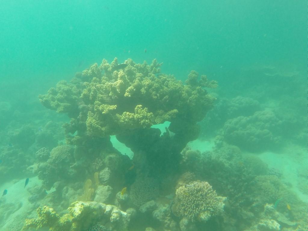
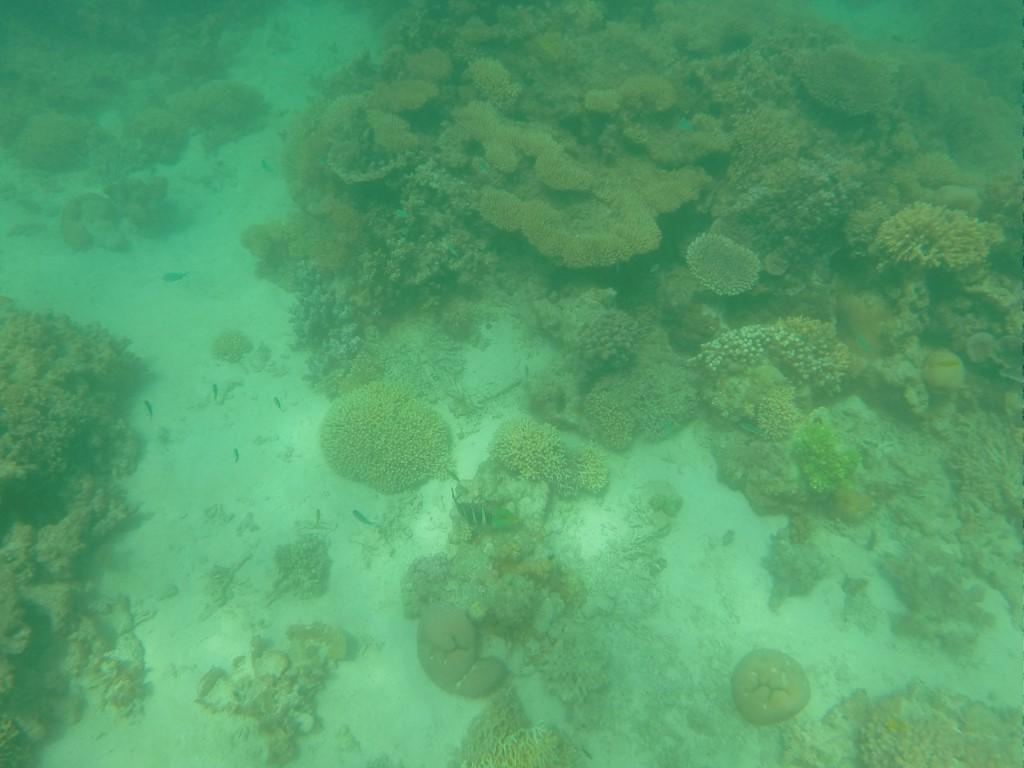
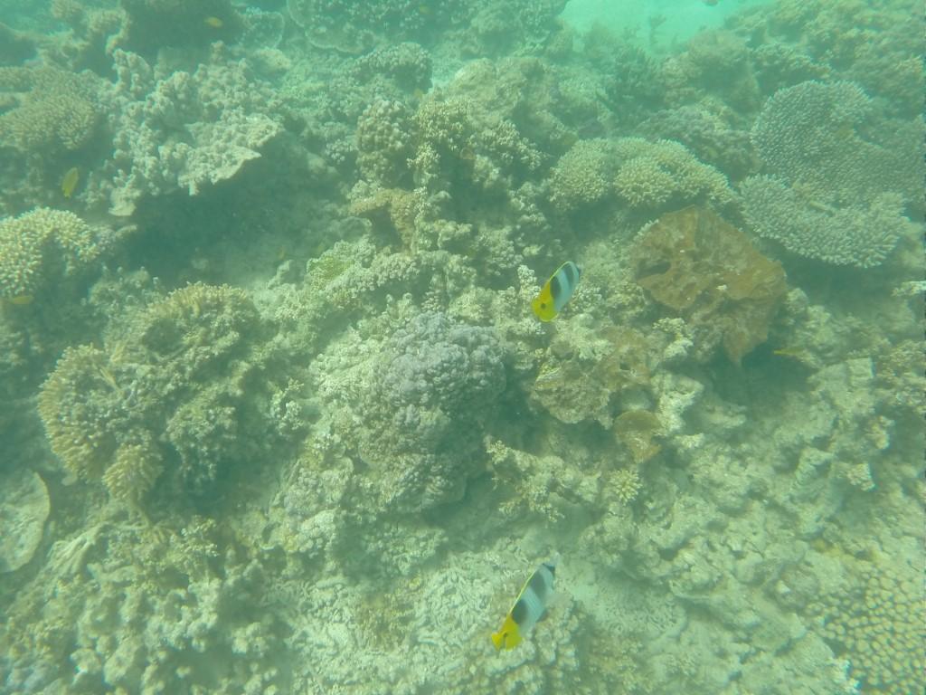
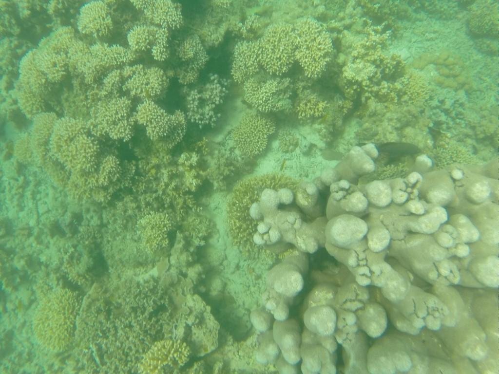
Although the boat was quite sluggish (max. 6 knots) due to the weight, it didn’t take long to get to the reef, which is quite close to the shore. This is because Ningaloo Reef is a fringing reef unlike the Great Barrier Reef. It wasn’t long before we were viewing the corals through the bottom of the boat.
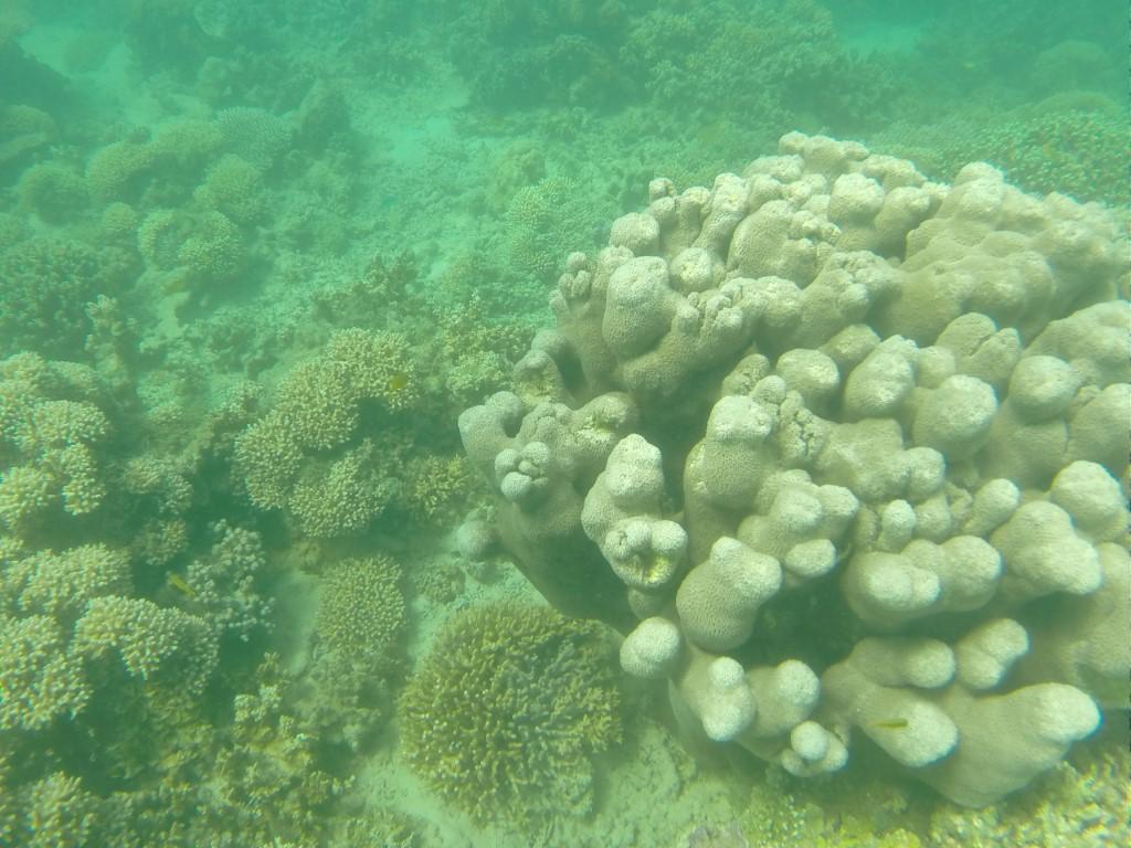
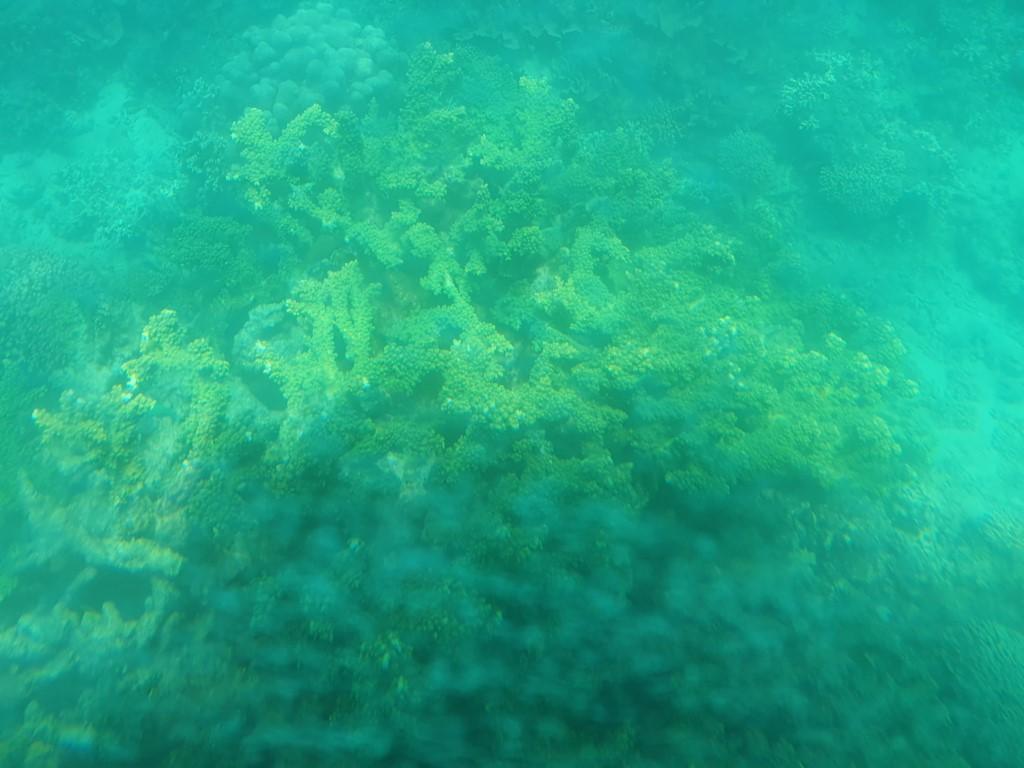
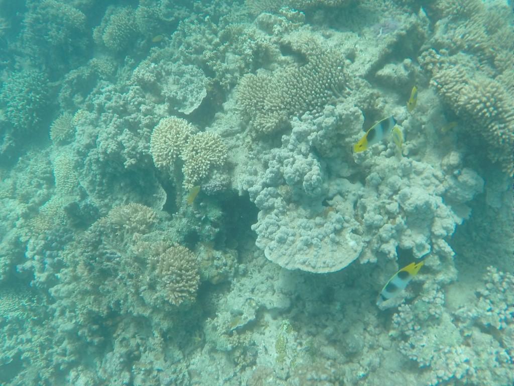
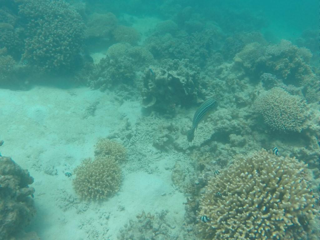
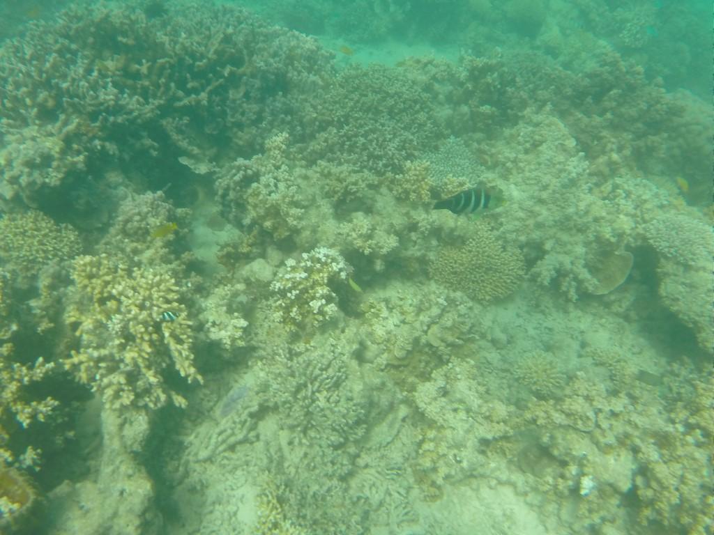
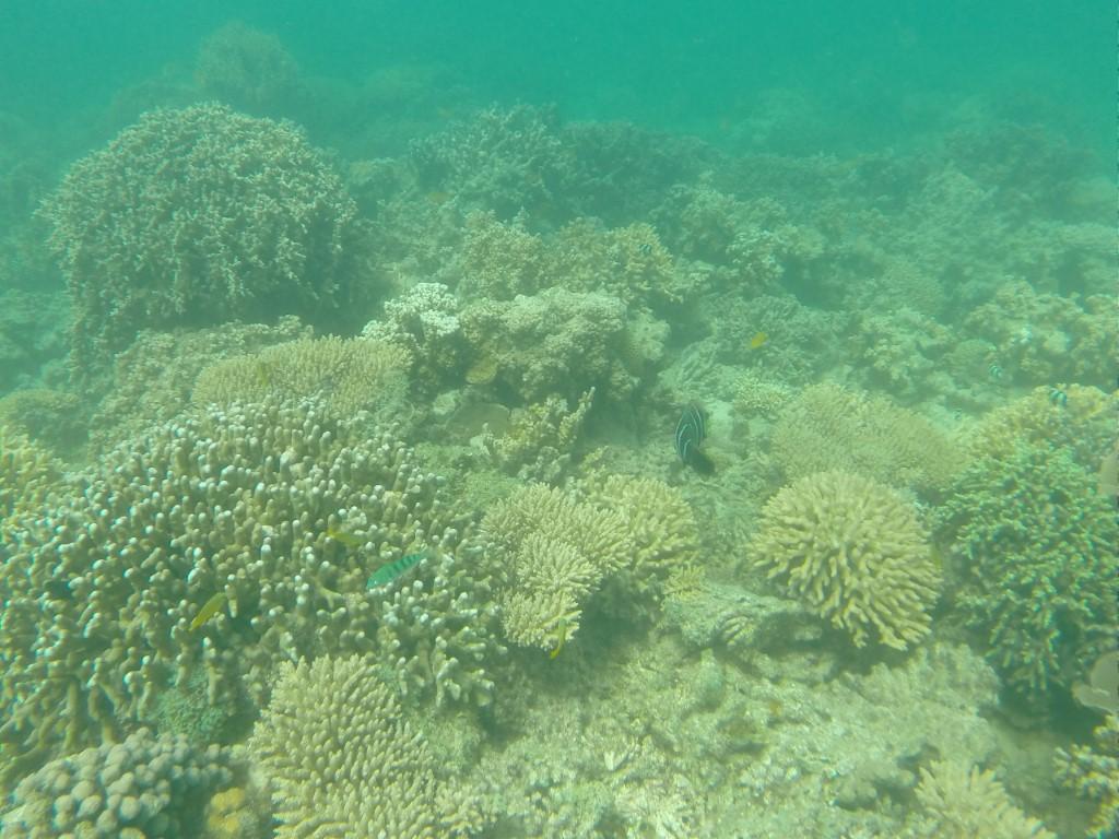
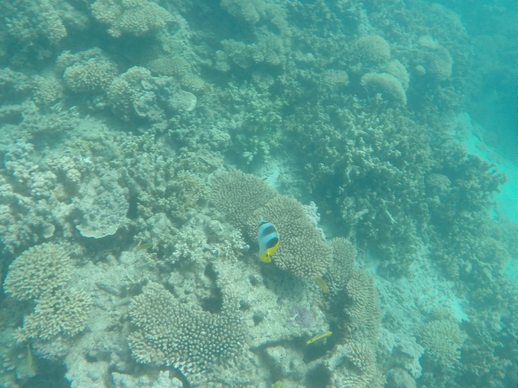
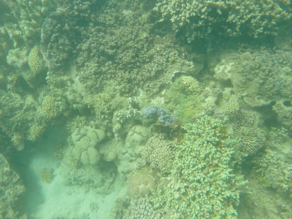
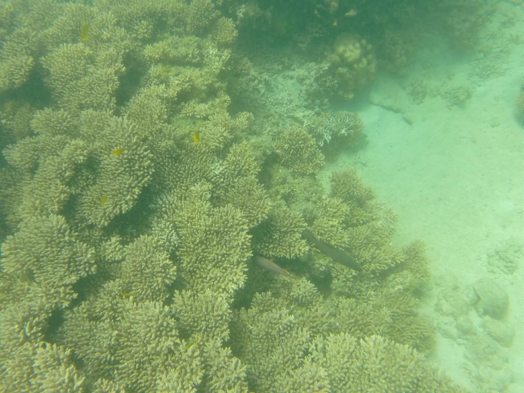
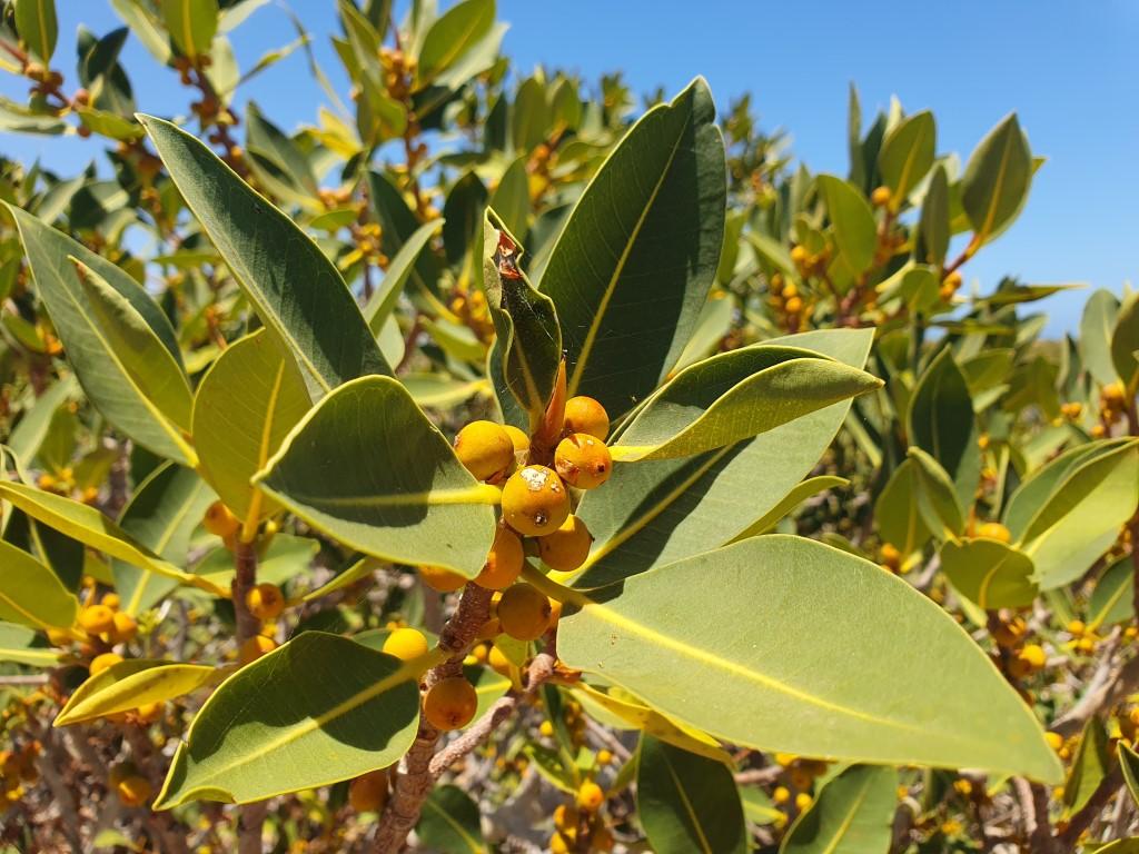
The corals of the Ningaloo Reef aren’t very colourful unlike the Great Barrier Reef and the tour operators were quick to explain that Ningaloo is actually in reasonably good health. The dull coral colours are natural for a fringing reef but we were still treated to the odd burst of colour from the tropical fish that take refuge amongst the coral.
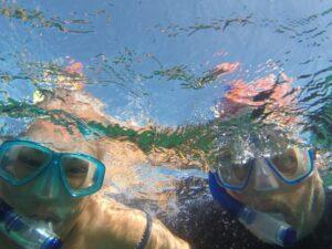
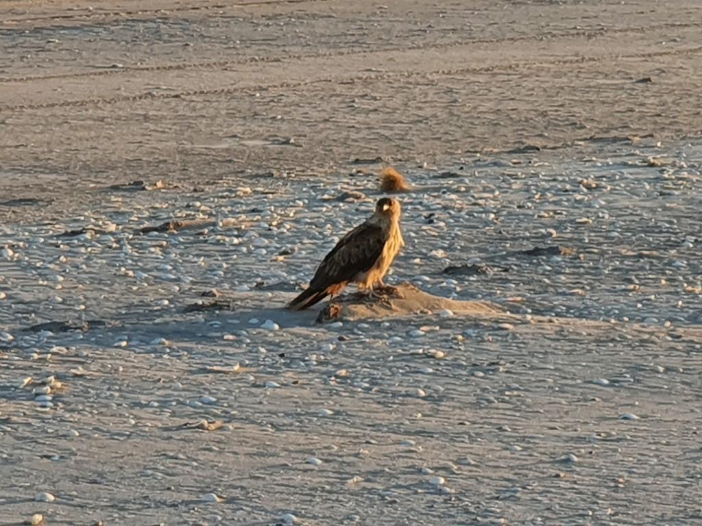
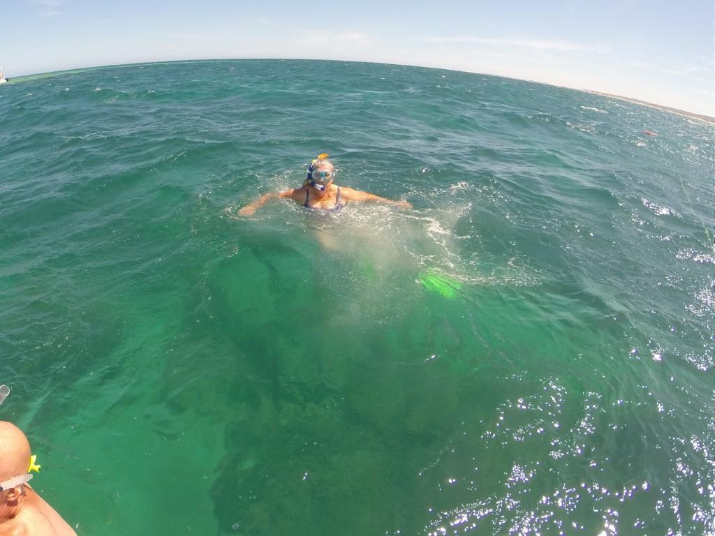
After a brief cruise and coral viewing we were invited up onto the outside deck to grab some fins, mask and a snorkel to jump in and get up close to the reef. The water was beautifully clear and on the cool side of warm, which was nice. Jo was hoping the get up close to a turtle but alas we only saw a couple from a distance on the boat.

There was however an abundance of tropical fish that were completely unphased about our presence. The corals were the main attraction though despite their dull brownish appearance. We snorkelled for the best part of an hour before returning to the boat for some more viewing through the glass bottom panels.
All in all it was a good day out an a nice introduction to Ningaloo Reef and Exmouth.

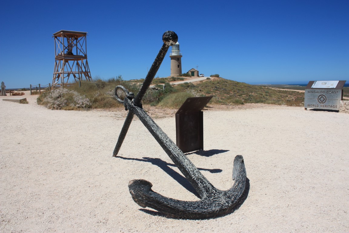
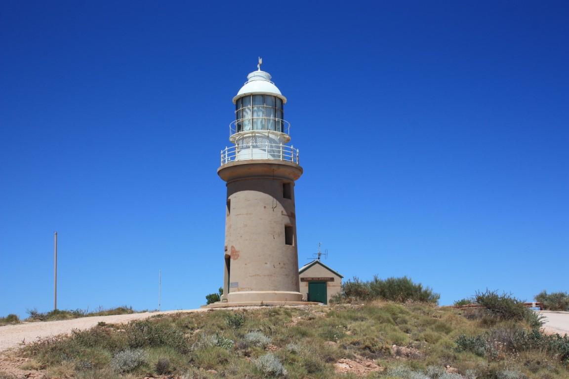
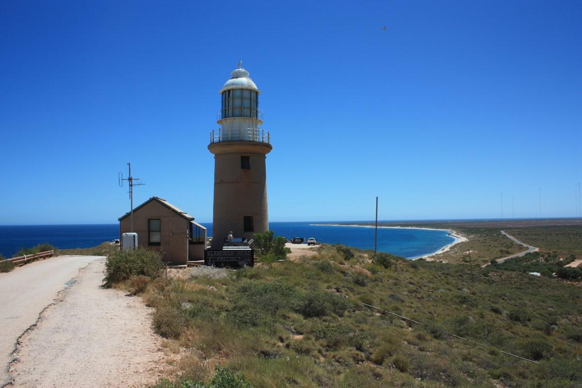
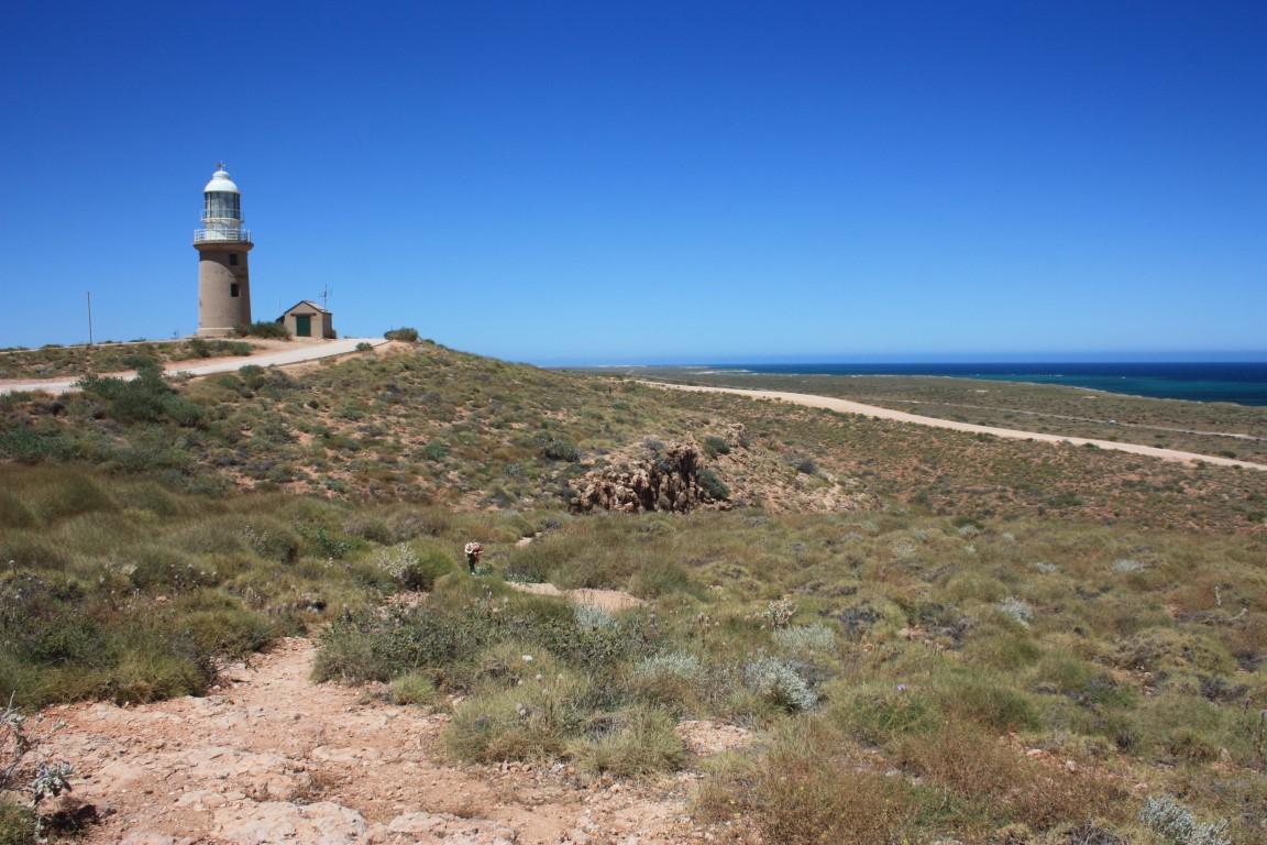
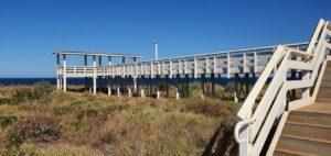
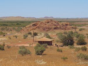
We took a short excursion one morning to the Vlamingh Head Lighthouse… because we love a good lighthouse. It’s situated on the north-western tip of the Exmouth peninsula and the drive took us past a few other interesting places on the way.
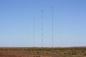
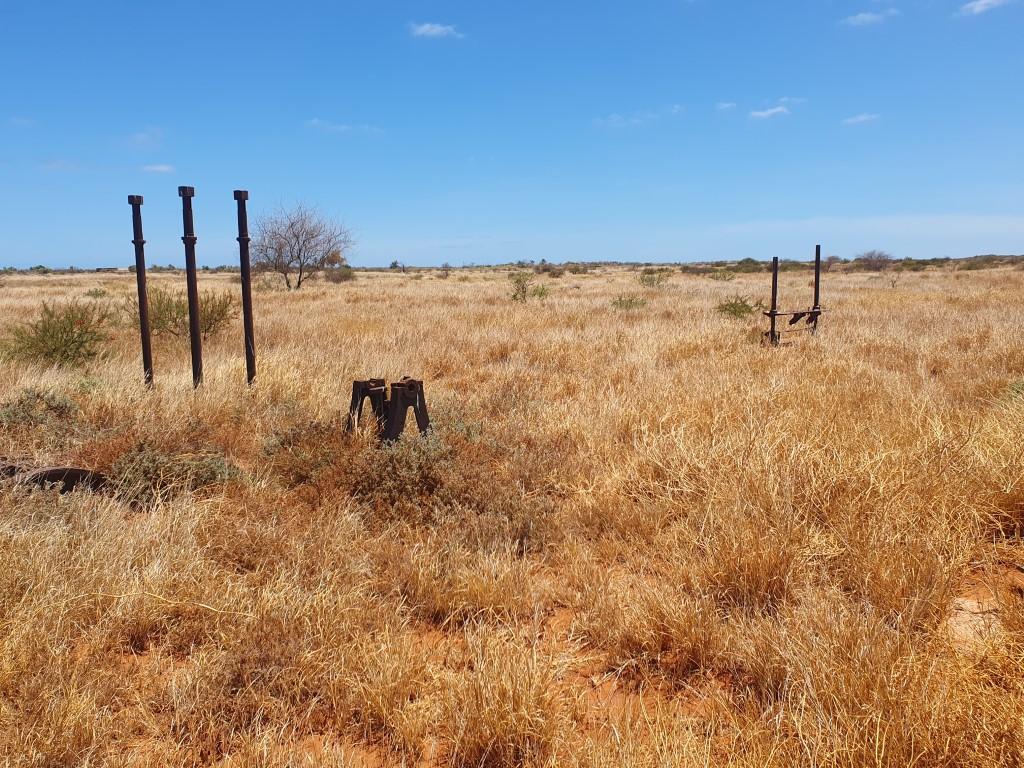
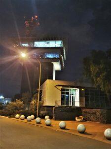
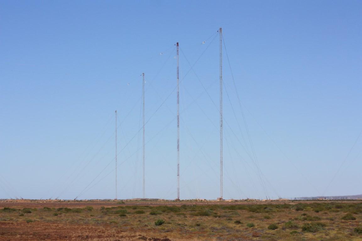
Exmouth was originally established as a naval submarine base and is also home to the Learmonth RAAF base. The landscape just north of town is dominated by thirteen giant towers used for submarine communications. You can drive quite close to one of the towers, which doesn’t seem all that secure given that it is a defence installation. Despite their soaring height, each tower is finely balanced on a (relatively) small pivot point at the base and the whole thing is kept vertical by a number of guy wires attached at various points up the mast. They reminded Rob of the 200m high 2KP (ABC) radio mast at Kinchela, which his dad used to monitor back in his childhood years.
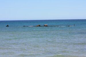
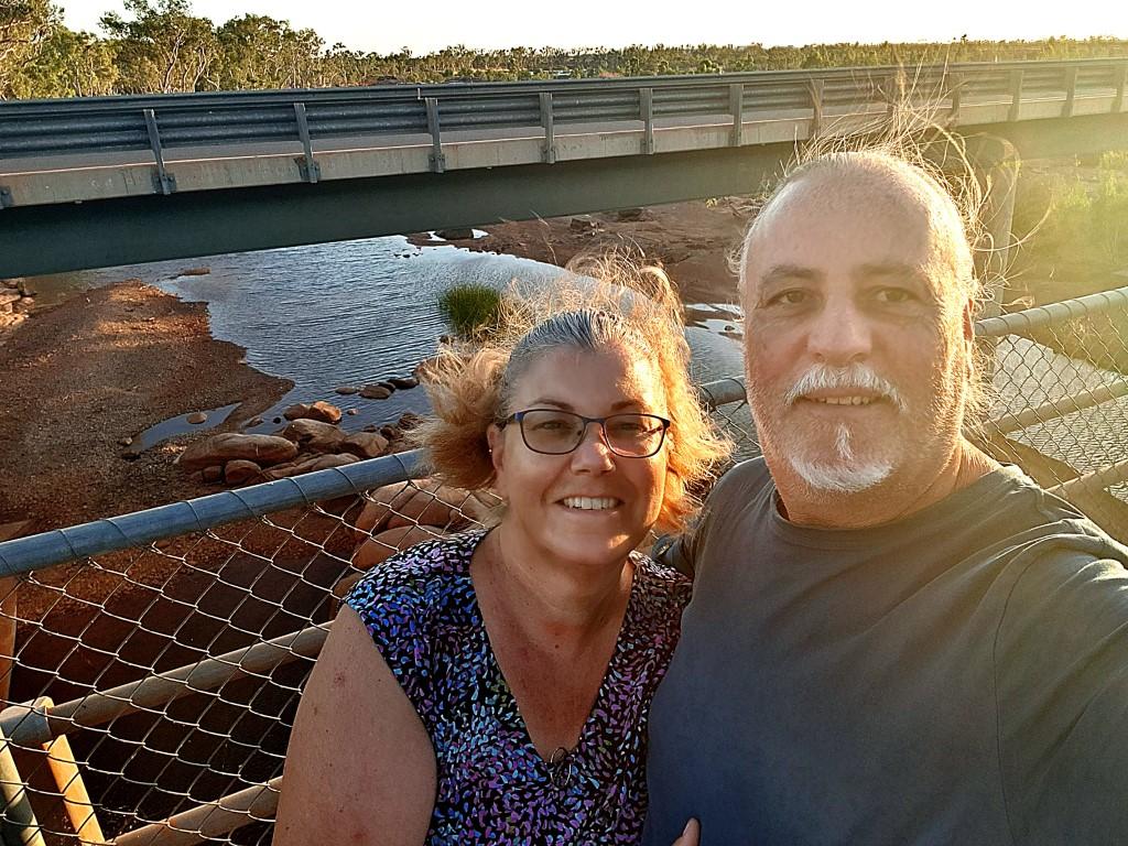
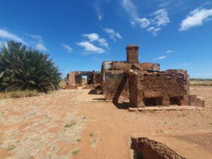
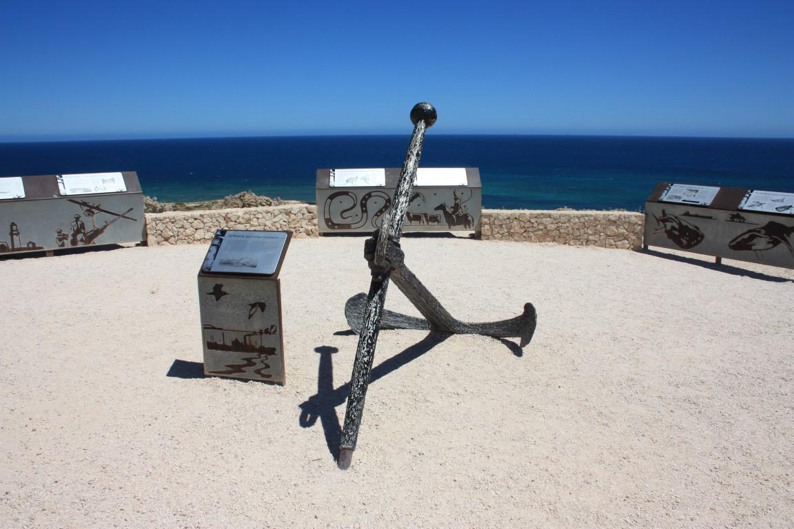
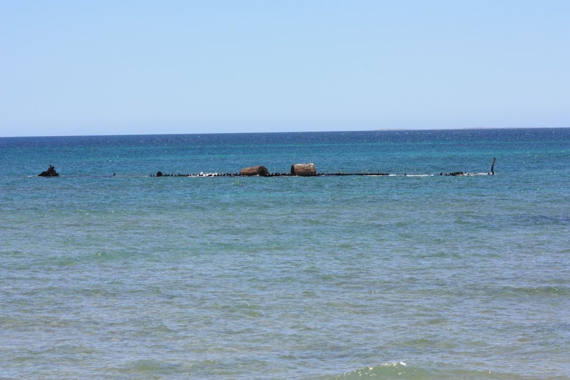
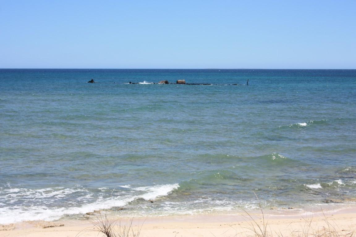
Before you get to the lighthouse you can make a turn north to see the remains of the shipwrecked SS Mildura. It lies about 80m offshore and the rusting remains are still visible just above the water’s surface, more so at low tide. It was carrying cattle and some passengers when it became stuck on the reef where it sat for a few days with all on board until it was finally decided to abandon ship. The cattle were all put into the ocean and left to swim ashore. The SS Mildura became a ‘lucky’ catalyst for the construction of Vlamingh Head Lighthouse.

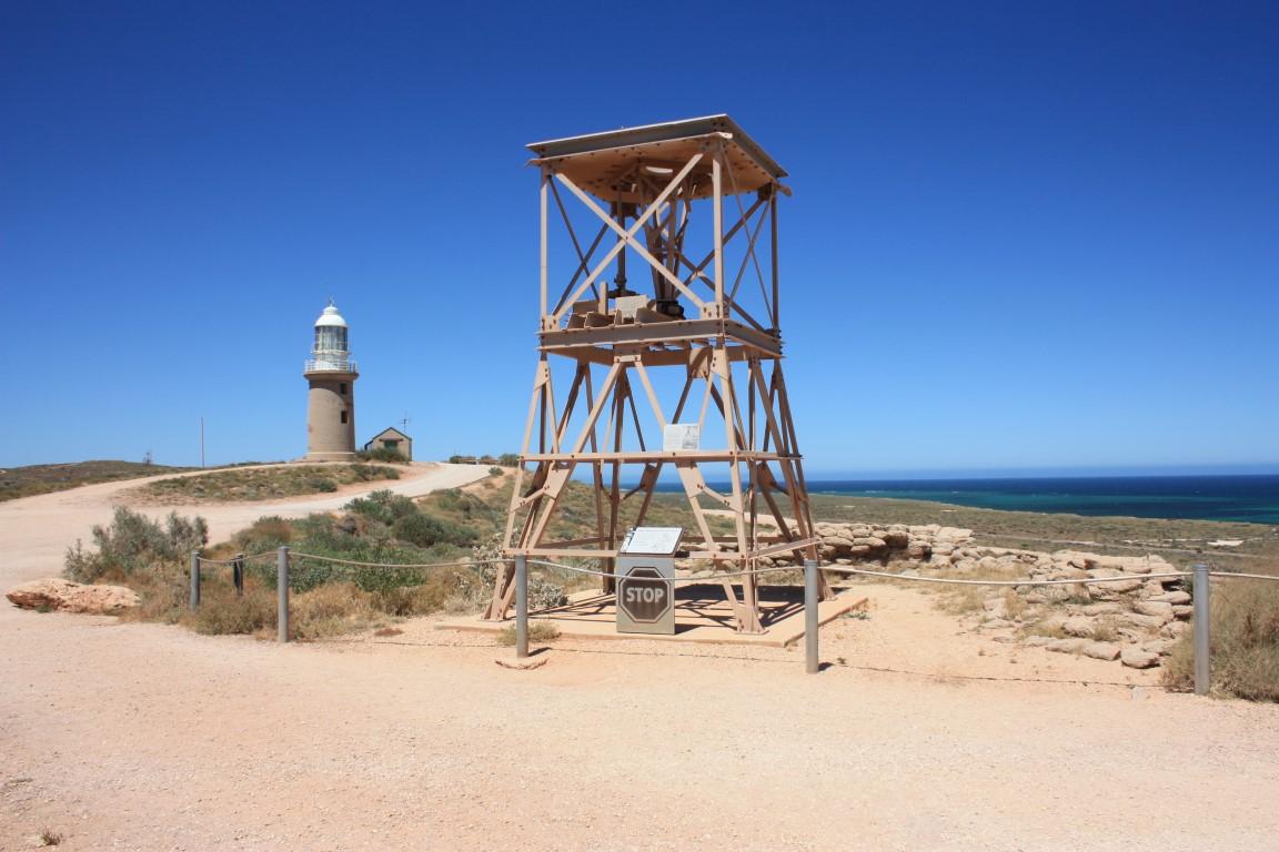
Vlamingh Head Lighthouse was one of five lighthouse sites under consideration in 1907 but not chosen to be built until the SS Mildura was shipwrecked there in that year, which forced a reconsideration and the lighthouse was built. Back then it was incredibly remote and a few of the construction workers died from dysentry due to the poor quality, salty water that they were forced to drink. Exmouth today has a desalination plant that produces potable drinking water for the town.
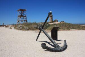
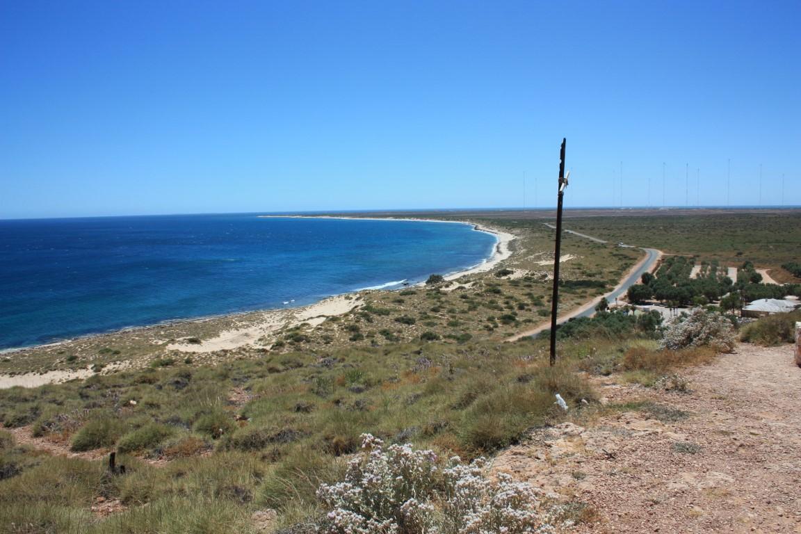
The lighthouse is kept in excellent condition and Vlamingh Head is also and excellent lookout over Lighthouse Bay. The lighthouse is no longer operational; a flashing strobe light has been set up at the top of one of the radion masts at the naval base. However, it still serves its purpose as a historical marker at the site as a point of interest for travellers and tourists. The anchor from the SS Mildura is also on display there as well as the remains of a radar installation from WW2.
It’s a fascinating part of the Exmouth peninsula and very well worth the visit when here…

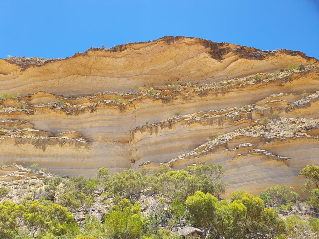
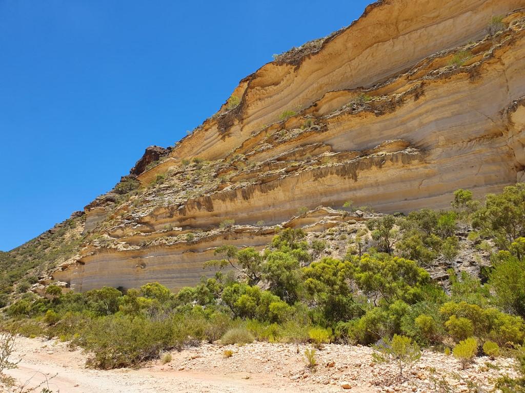
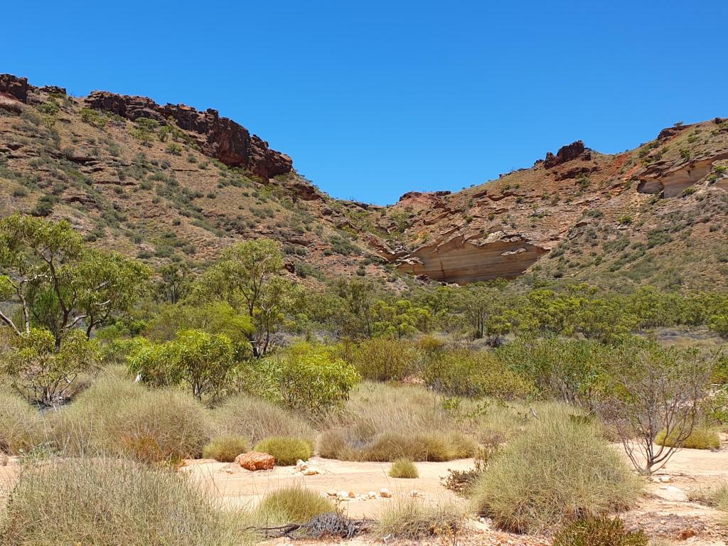
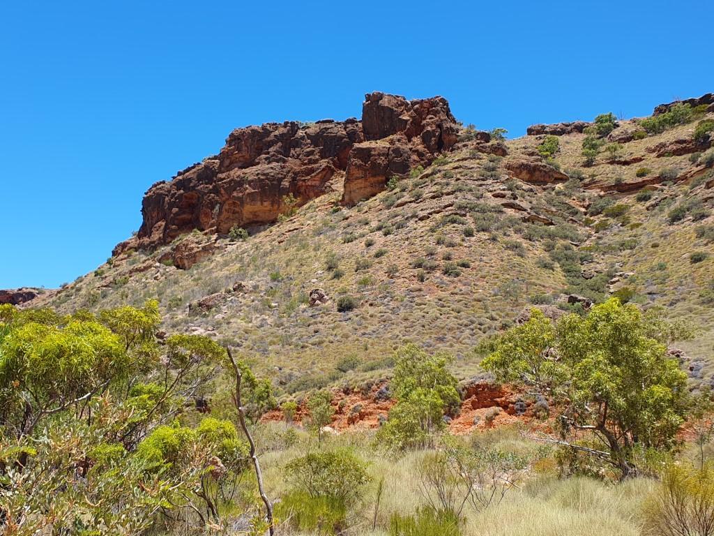
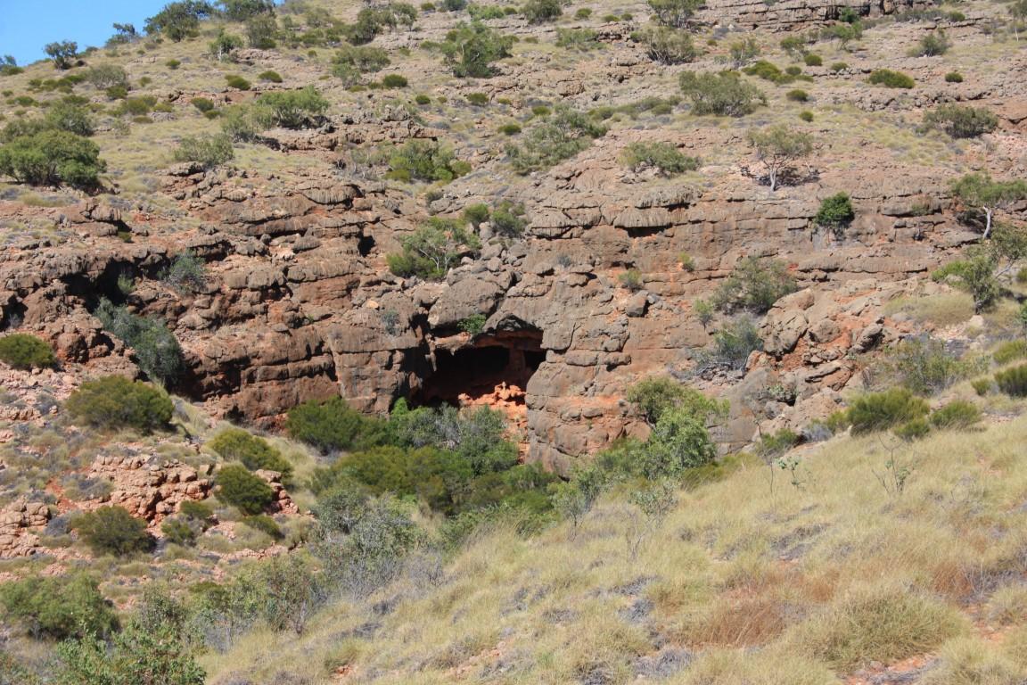
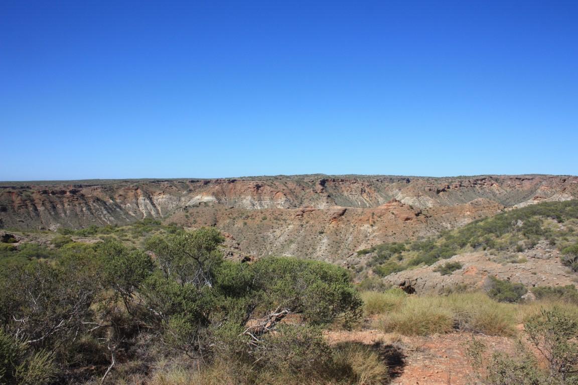

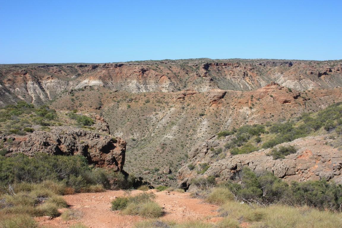
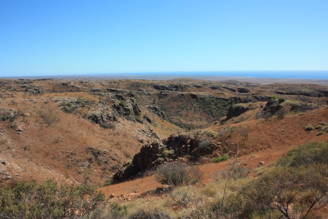
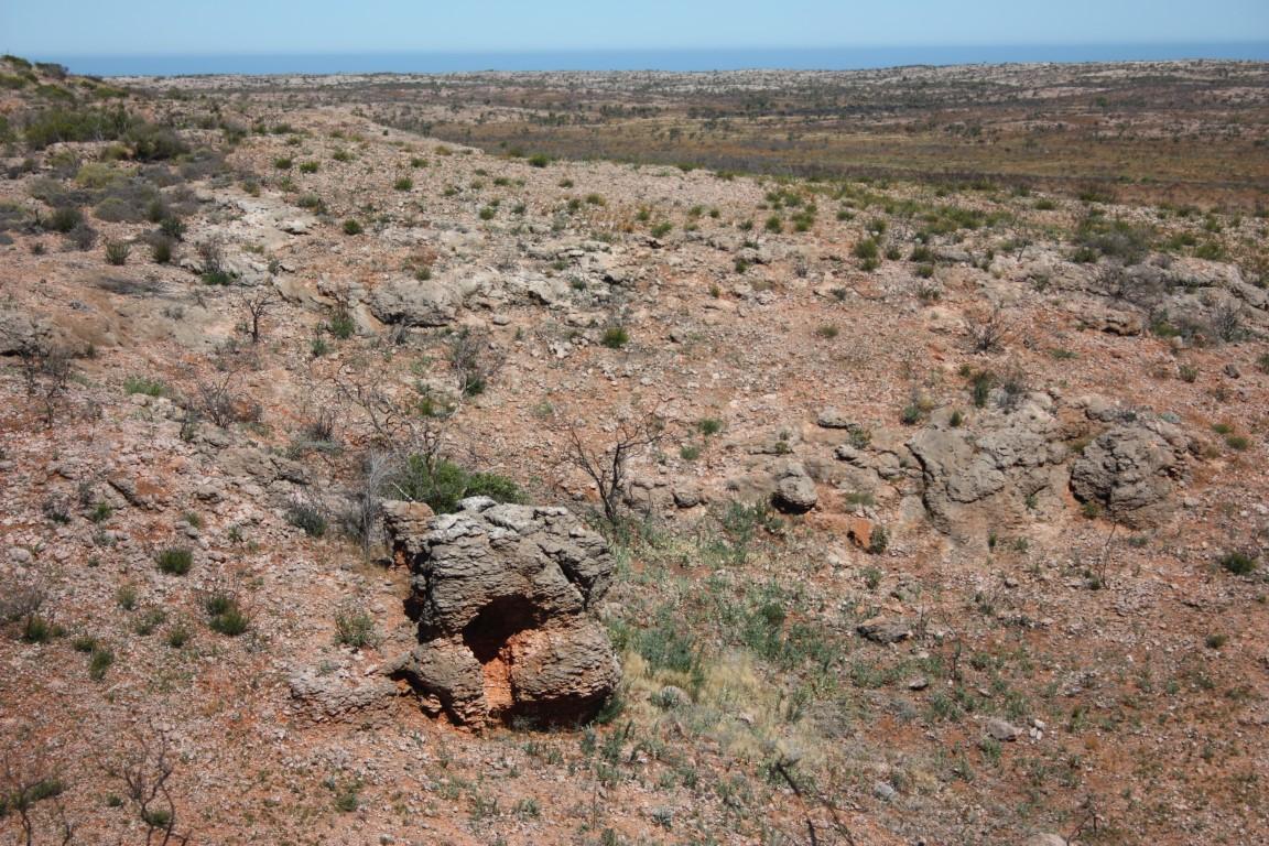
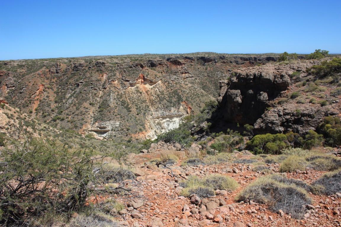
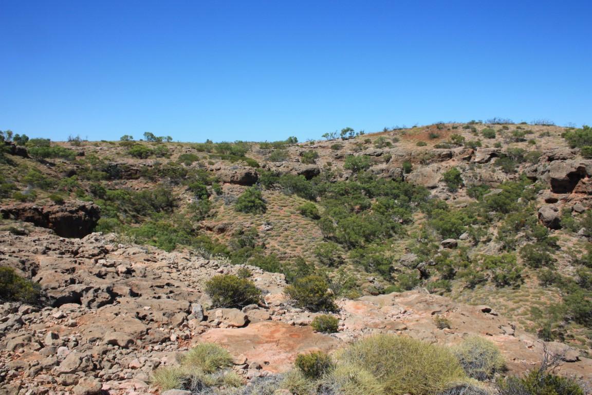
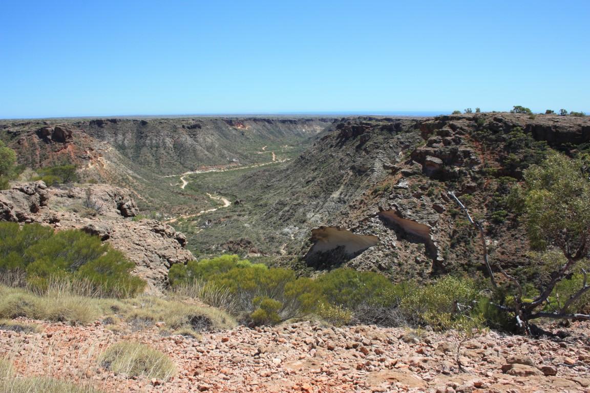
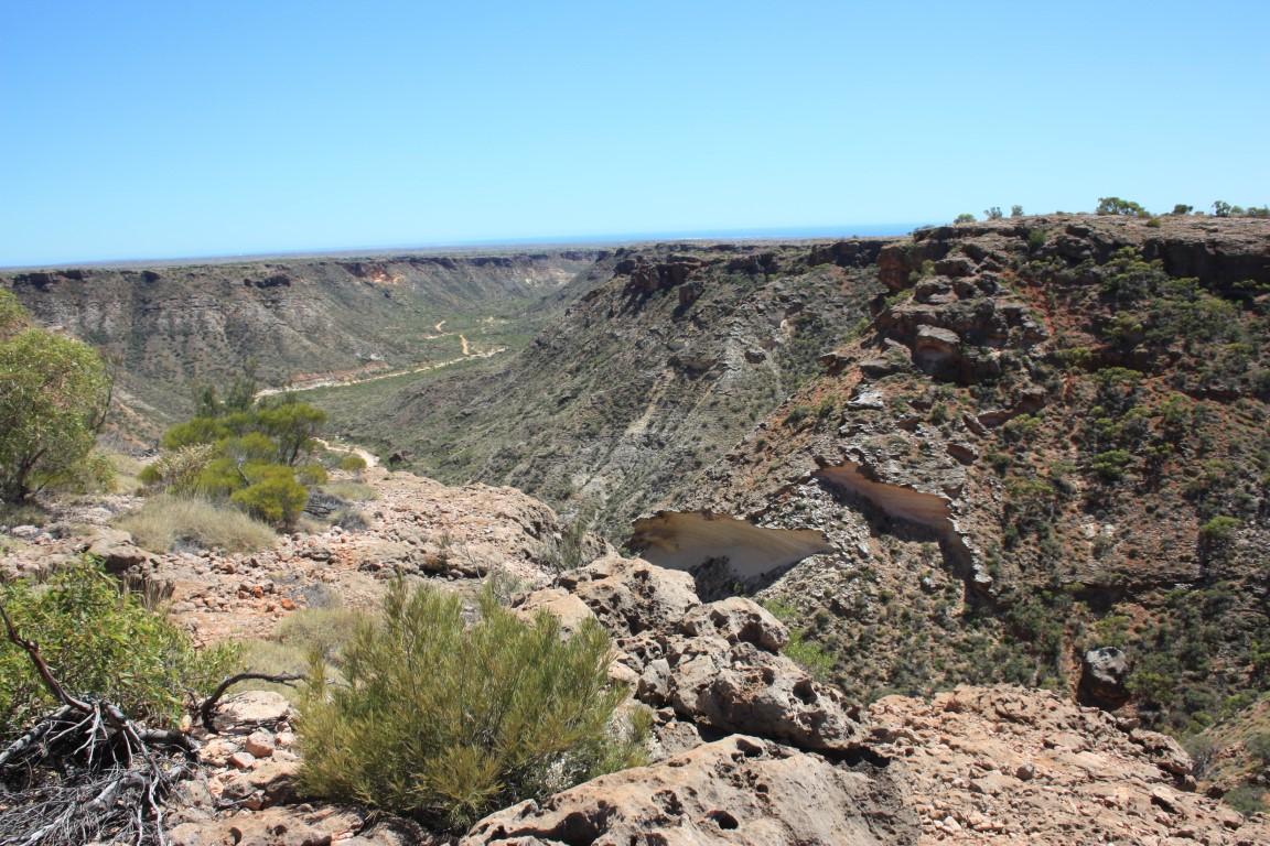
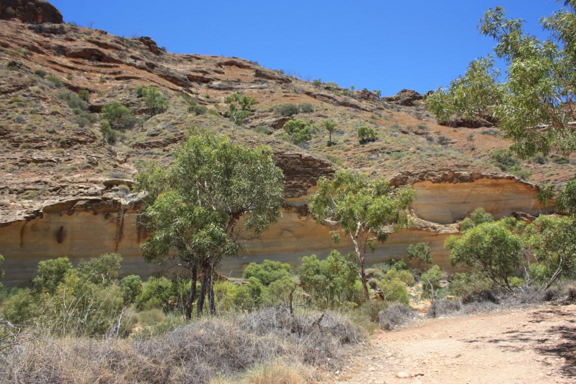

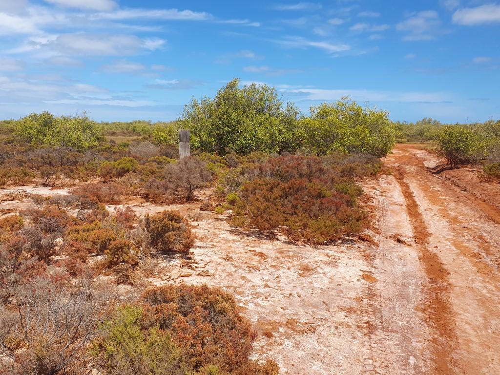
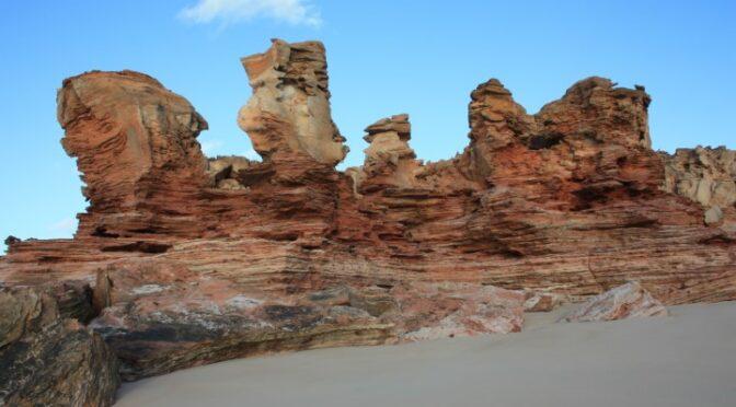
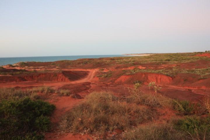
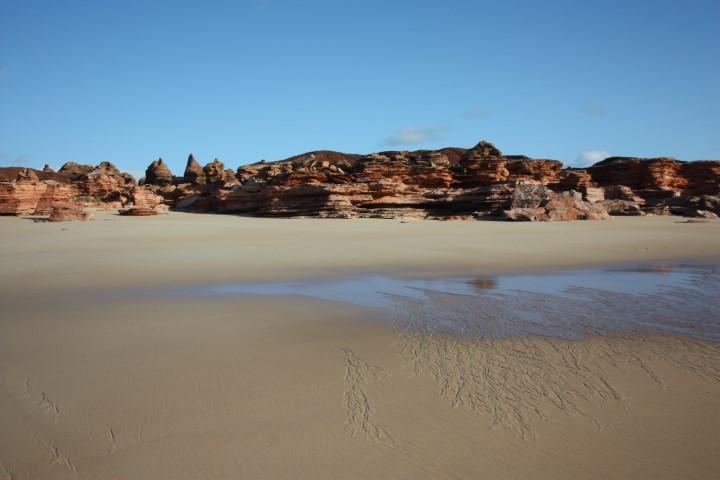
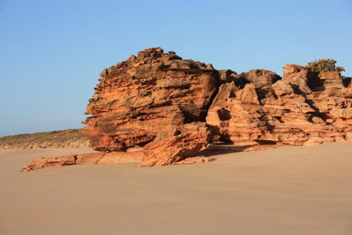
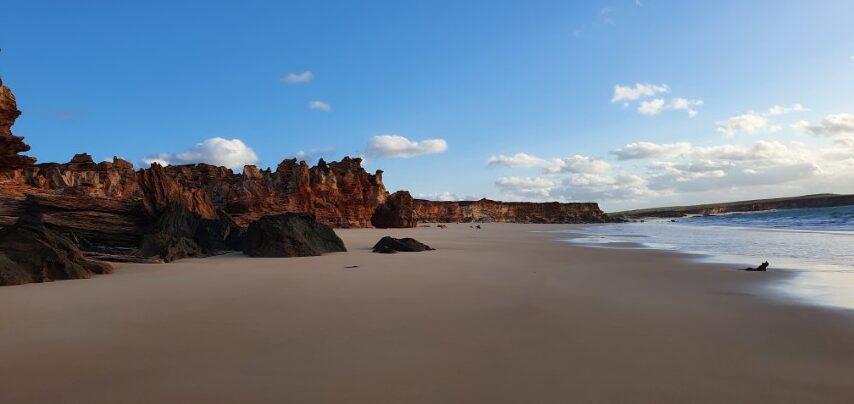
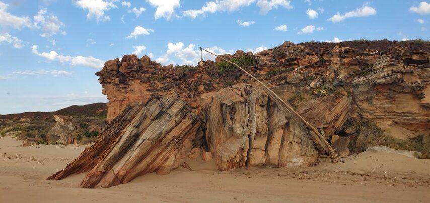
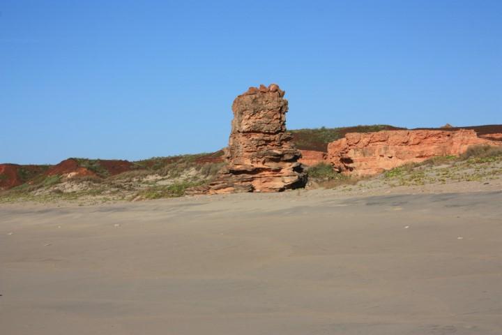
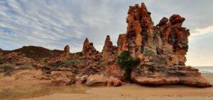
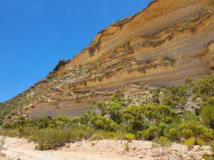
On a very hot and dry morning, which was most of the time in Exmouth, we drove back south to the Shothole Canyon. At Shothole Canyon Road we turned inland and headed into the centre of the peninsula and up a steep bluff into Cape Range National Park. The road, which had a few roller coaster sections, took along a precipitous part of the canyon rim and onto a sweeping plateau.
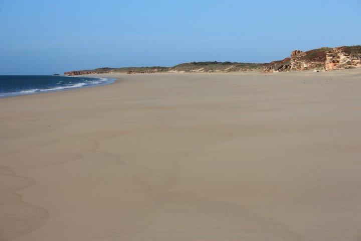
We pulled in at a carpark and did a 2½km walk across the plateau to rejoin the canyon rim at a lookout over the canyon with sweeping views to Exmouth and the Exmouth Gulf. It was a long hot 2½km there and back but very well worth the effort and the sweat.

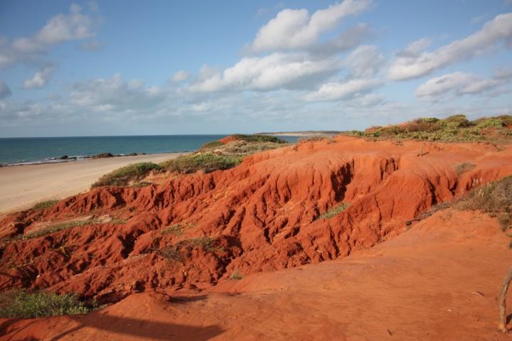
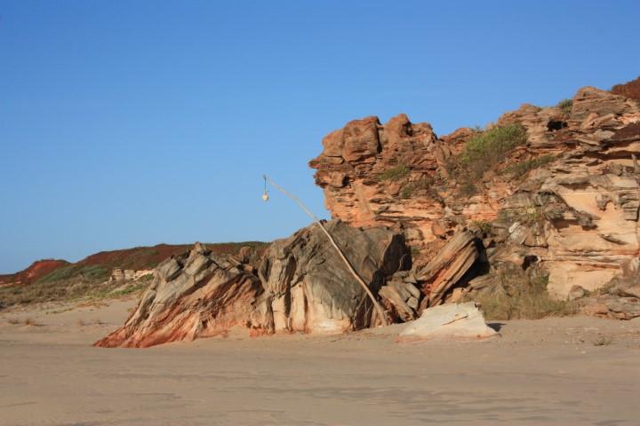
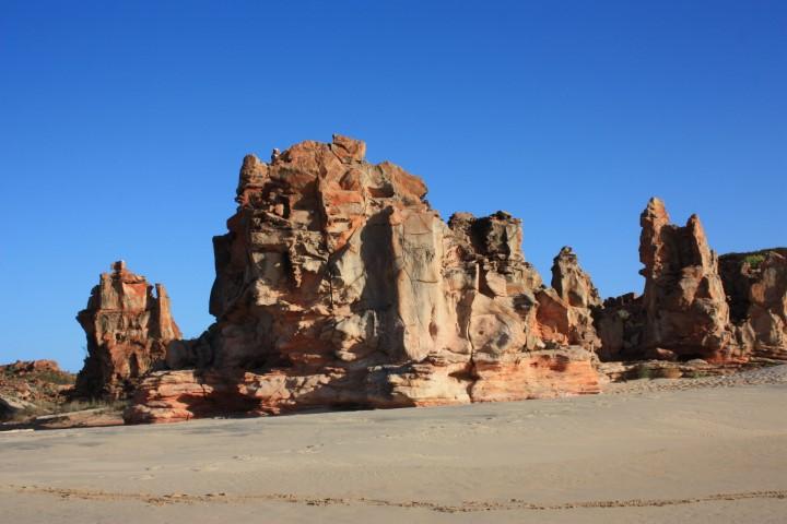
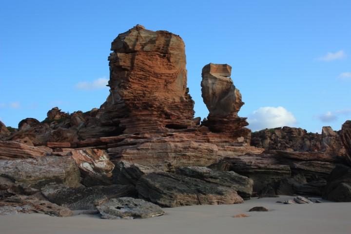
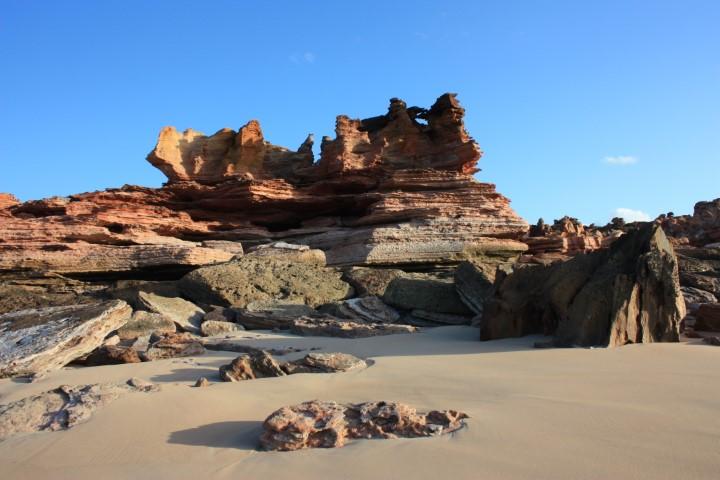
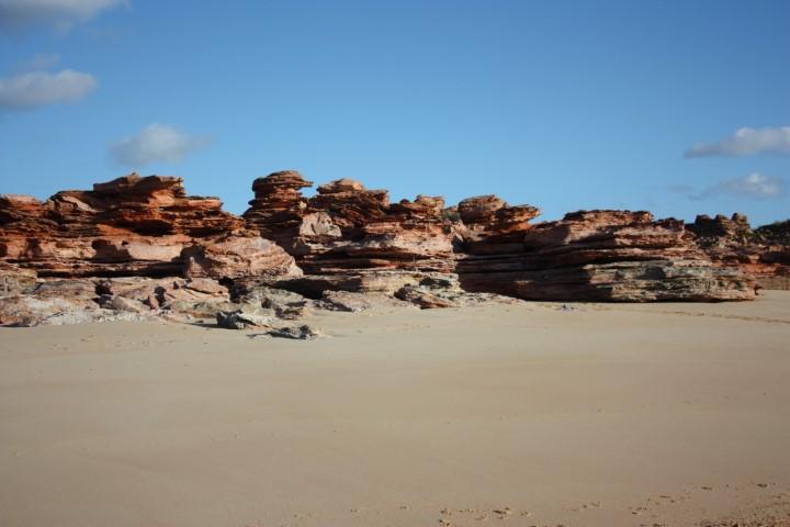
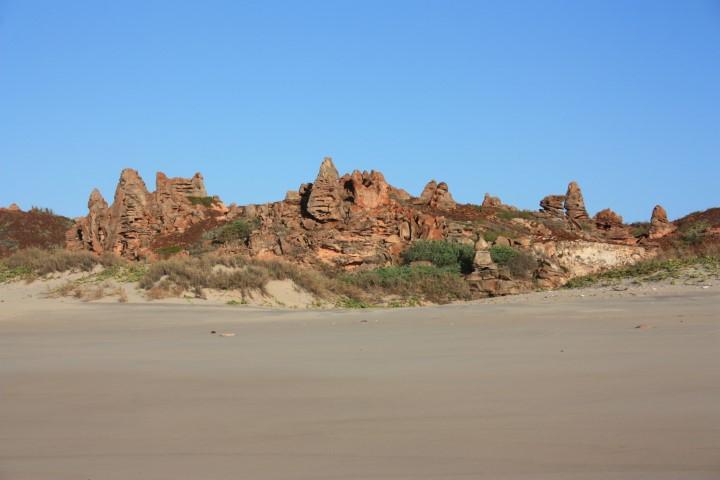
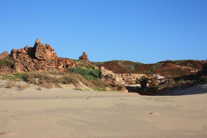
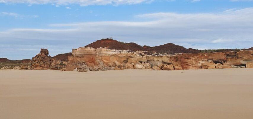
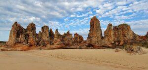
Shothole Canyon itself is quite grand and the three colours of limestone make for some stunning formations and colour variations as earth, wind and water weave their magic over the millenia. Unfortunately in this day the wind and the heat meant that the drone stayed in its bag… again! The lookout was still pretty special though.
It was also one of our first encounters with the iconic ‘sticky flies’; those annoying little buggers that like to land in the corners of your eye and nearly need to be surgically removed. And once removed they come back again 5 seconds later… little buggers! Not having encountered many flies to date we had conveniently left our fly nets in the car so ended up expending twice the amount of energy by constantly waving our arms around. Not so much ‘the great Aussie salute’ as more like one of those inflatible arm waving tings in front of used car sale yards…
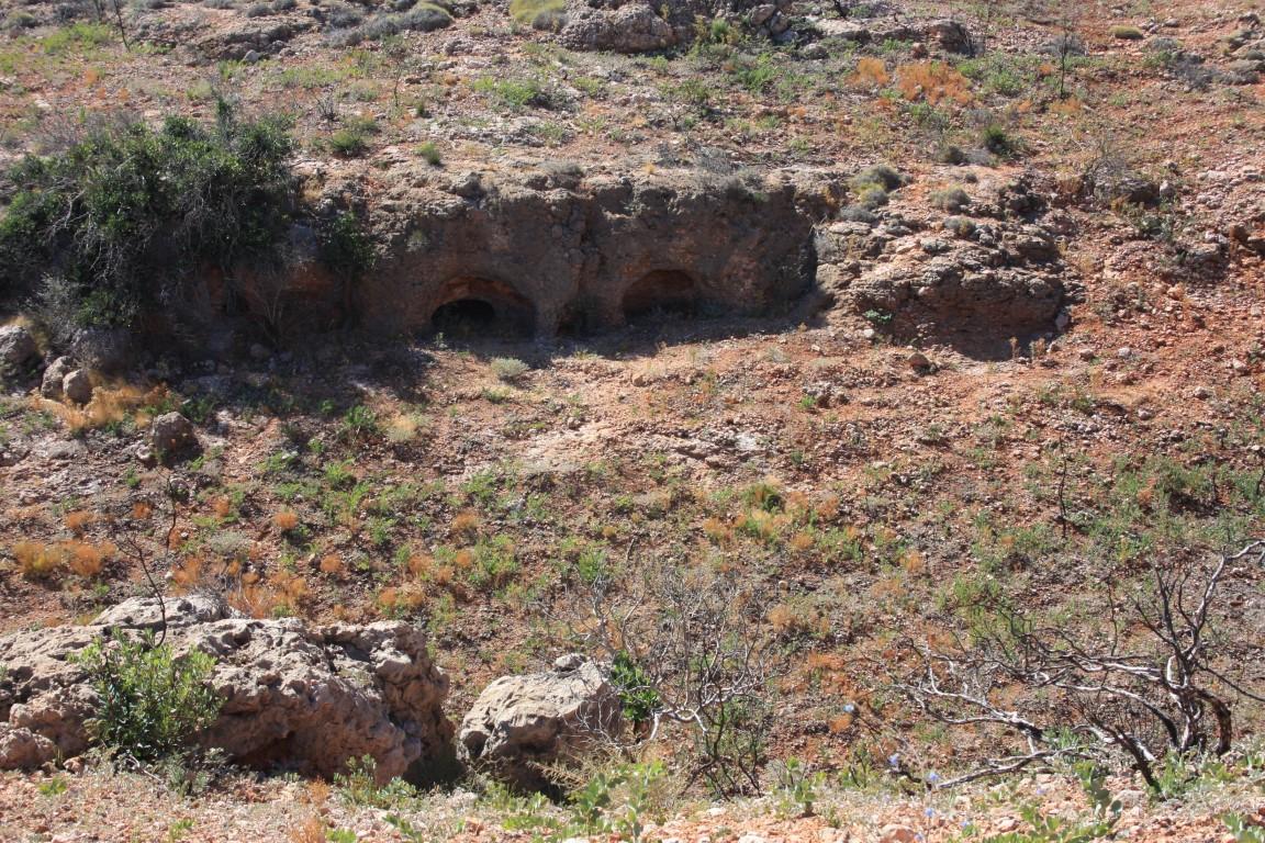
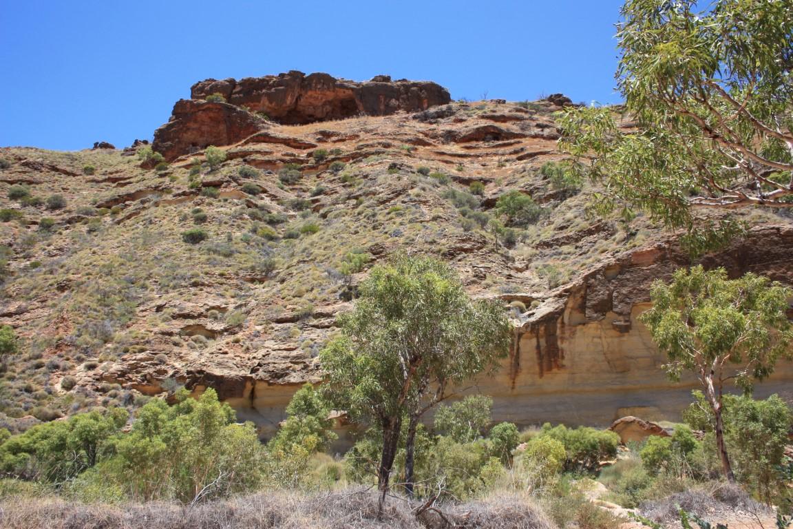
After the hike back to the car we jumped back in and did the reverse roller coaster back down to the bottom of the canyon and did a bit of light 4 wheel driving into the canyon floor. The road was quite rutted and corrugated, which made for a bouncy 12km’s into the spot below the lookout, where you can actually take a walk back up to the lookout if you feel so inclined. Not today for us…
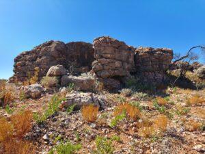
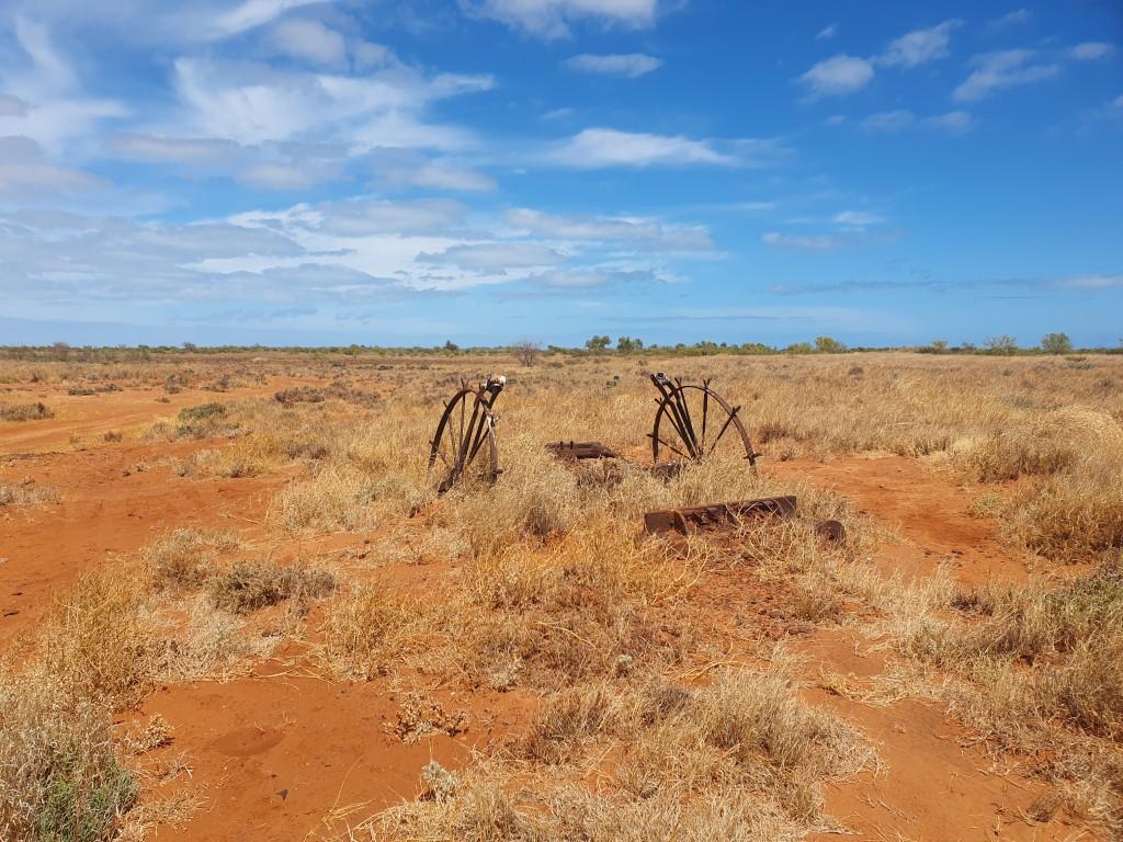
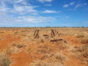
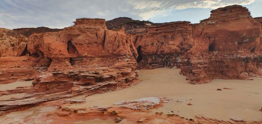
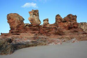
The floor and walls of Shothole Canyon are every bit as picturesque as the view from above. The canyon itself is named ‘Shothole’ after all shot holes left from the use of explosive charges, which were used to create small earthquakes for seismic research and oil exploration.

Our other big day out in Exmouth was a day trip around the Exmouth Peninsula into Cape Range National Park and down to Yardie Creek. To get to Yardie Creek we once again drove north to Vlamingh Head around the top of the peninsula then back down south towards Yardie Creek, which is the end of the bitumen.
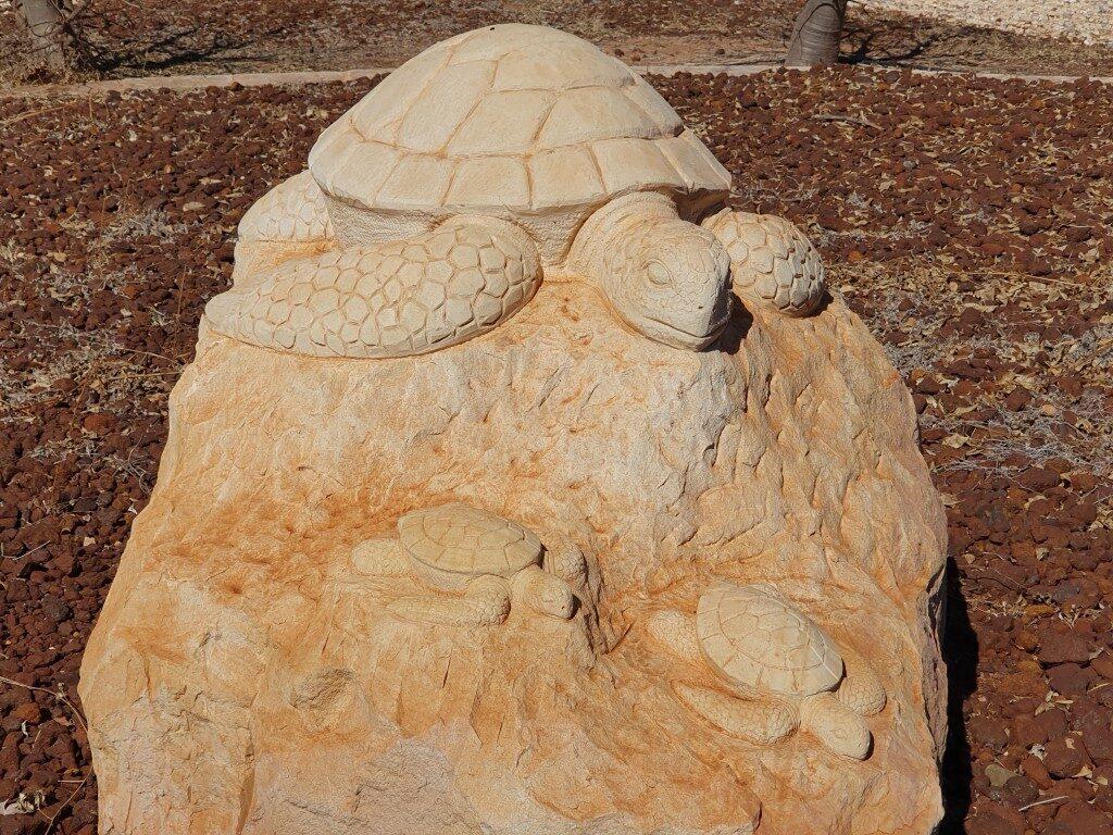
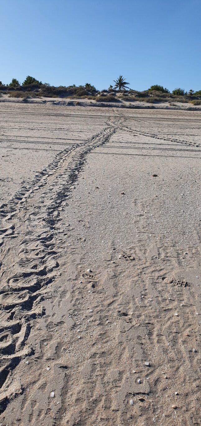
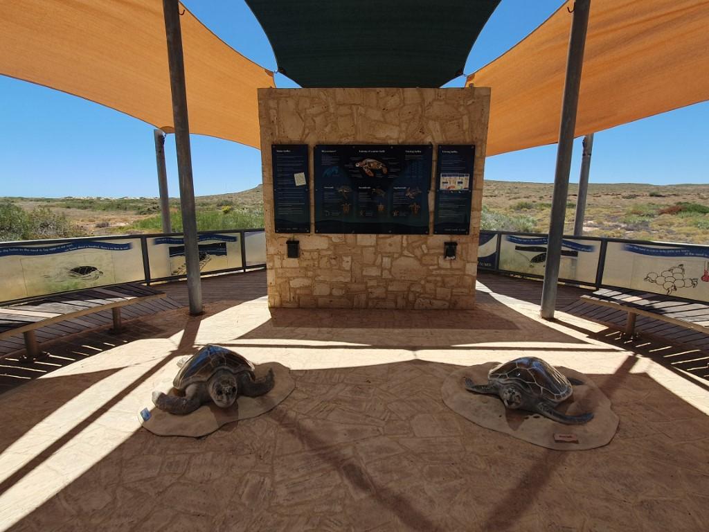
Jurabi Turtle Center
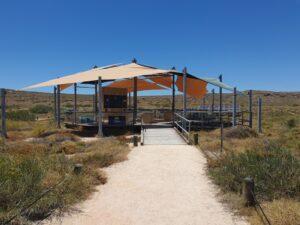
Not far from Vlamingh Head we stopped in at the Jurabi Turtle Center. This is a static display set back from the beach beneath a set of shade sails that resemble a turtle shell from above. The display has an information wall explaining everything you need to know about Green and Loggerhead Turtles that frequent the area and lay their eggs on the surrounding beaches.
Yardie Creek
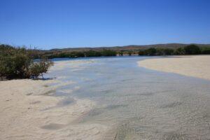
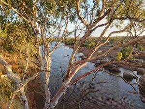
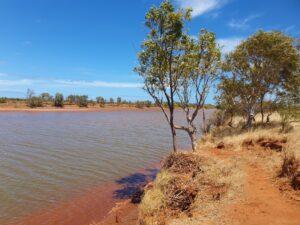
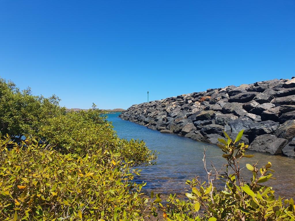
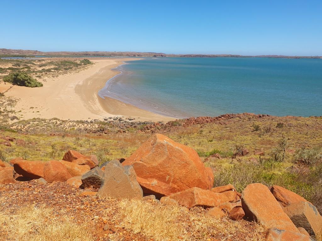
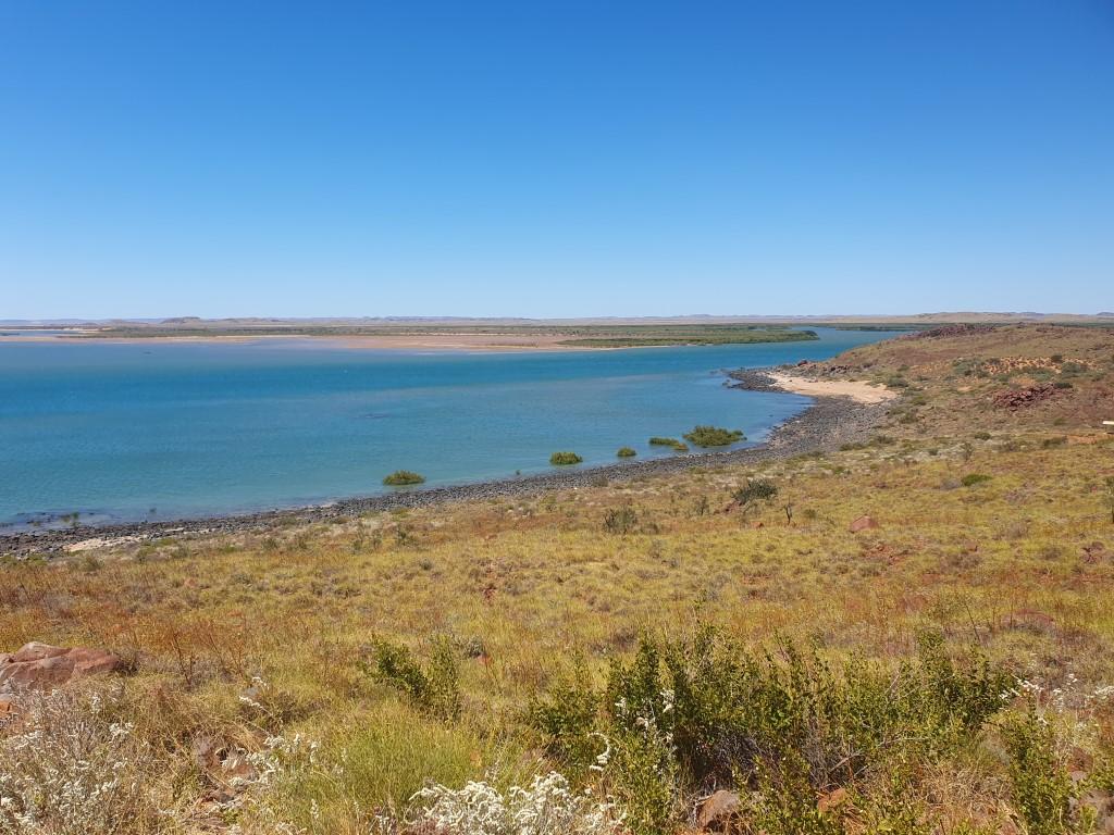
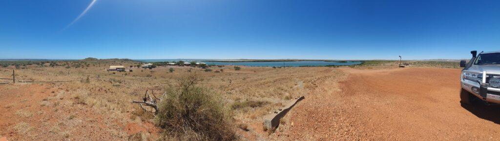
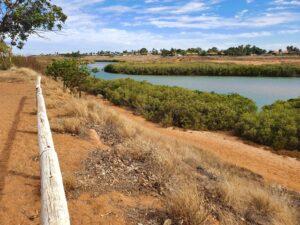
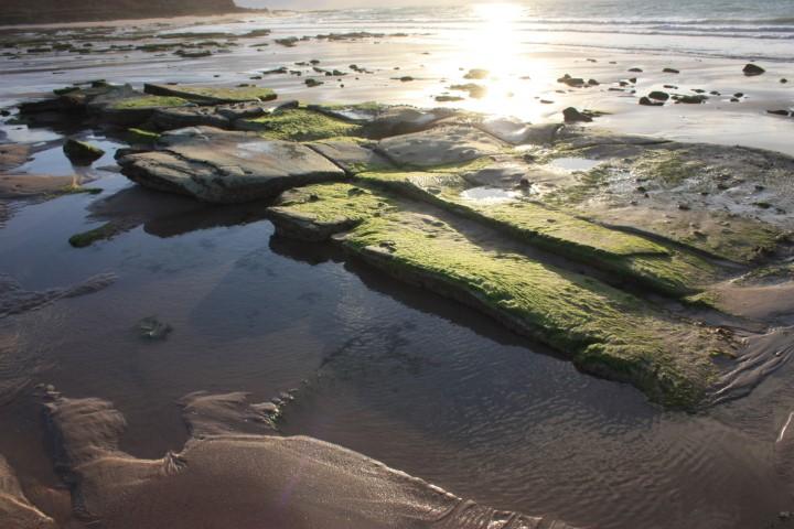
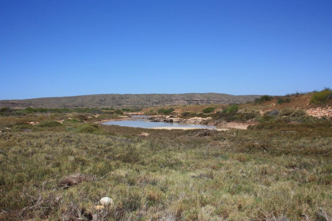
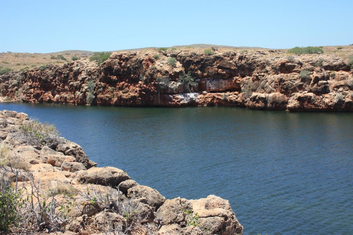
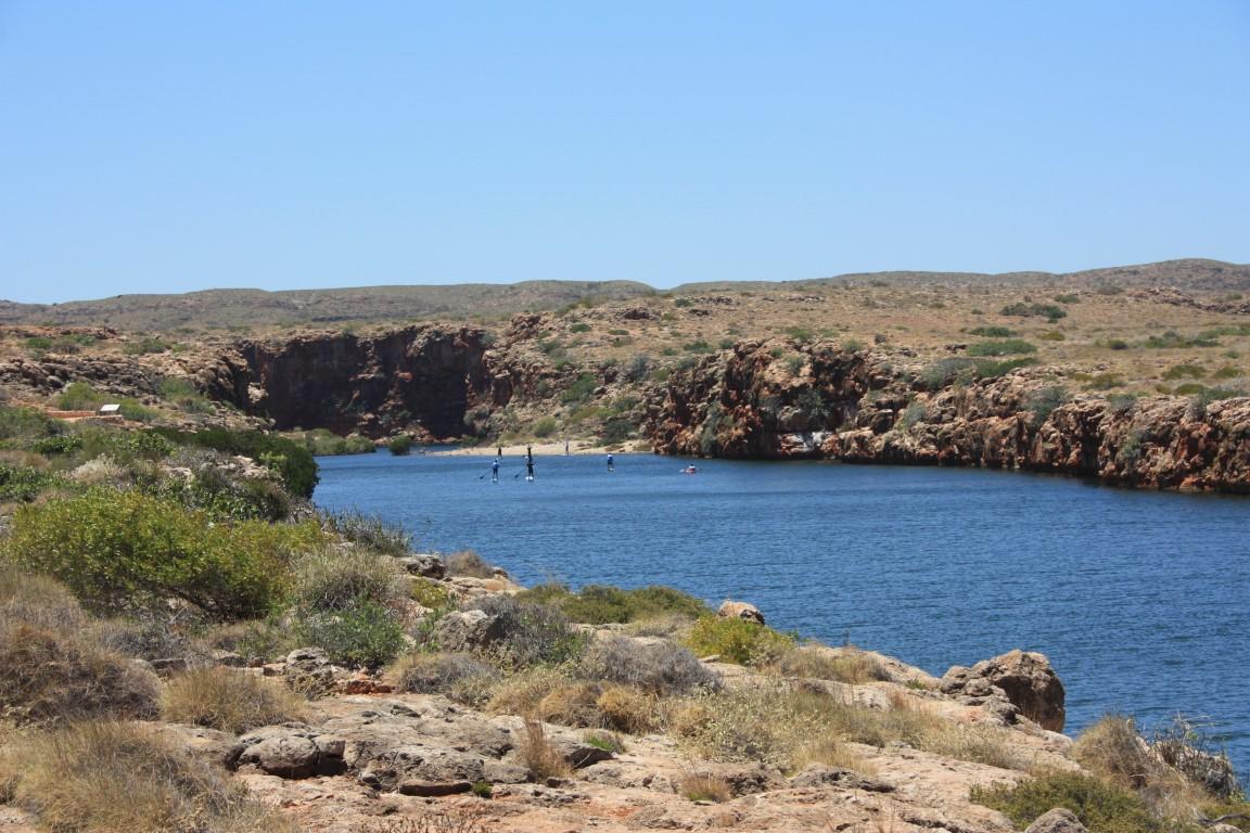
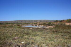
After the Jurabi Turtle Center we headed down to Yardie Creek, 65km south-west down the west side of the peninsula. Yardie Creek is exactly that… a tidal creek that flows out from a rock gorge over a beach sand bar into the ocean.
The creek is quite deep and wide as it exits the gorge but becomes quite shallow as it flows over the beach. Yardie Creek is as far as you can go on the bitumen but you can cross from one side to the other in a 4WD if you wish. We chose not to given the soft sand on either side.
There is a boat tour you can do there but it wasn’t operating on the day we were there. A kayak tour group was setting up when we arrived and that looked like it would have been a good way to get into the gorge proper and see its full extent.

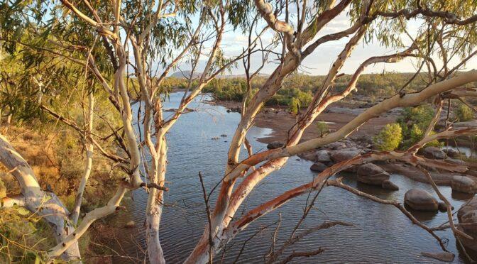
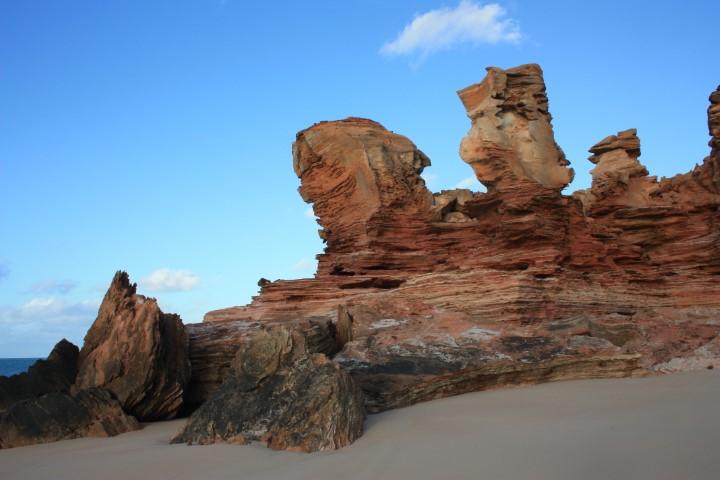
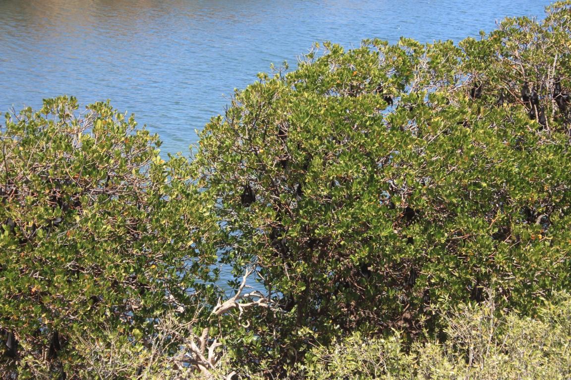
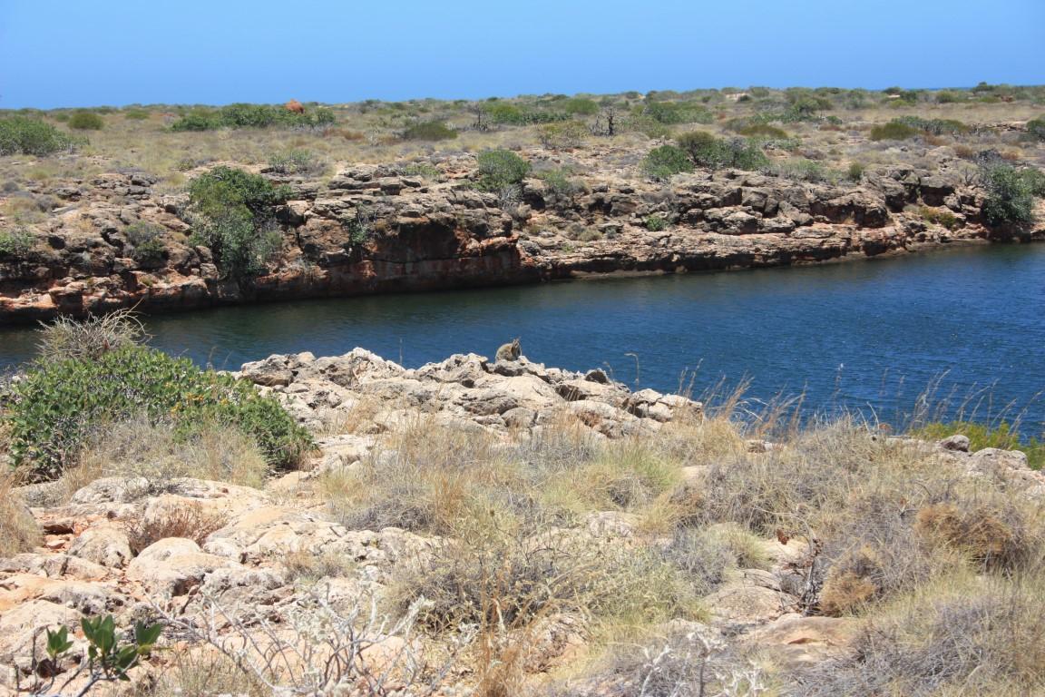
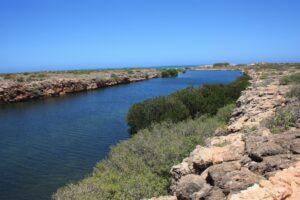
We chose to walk along the creek to the gorge entrance where we had a good view of the gorge’s rock walls. It was like a miniature version of Katherine Gorge with saltwater. The creek was a dark emerald colour and lined with a trees along the rock ledges that were about 4m above the water surface.
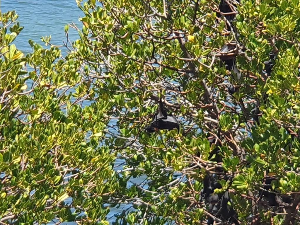
It was a very picturesque creek and a stark contrast to the arid scrub that stretched away from it on either side. In one section the trees were filled with hundreds of bats, which you could easily smell from 50m away as the wind blew through them.
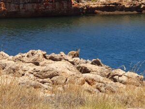
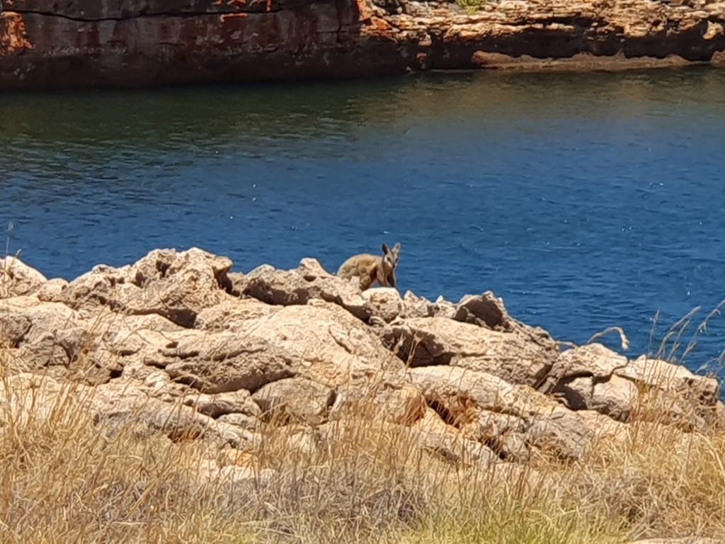
As we walked back along the rock ledge towards the beach we were lucky enough to see three black-footed rock wallabies going about their business on the rock ledge above the water. They never cease to amaze the way they jump over the rocks and around the rocks along the rock ledges. They’re quite timid but happy to show themselves if you keep your distance and don’t make any sudden movements.
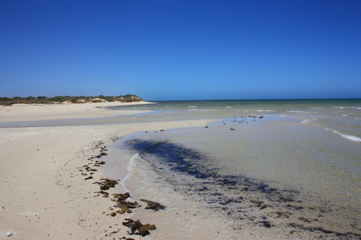
The beach consisted of mangroves that gave way to a white sandy beach where the creek washed over the beach’s sand bar. With the kayakers now well and truly up the gorge we were the only one’s there and it really rammed home the isolation and remoteness of this place even though there were plenty of beach camps not too many kilometres away.
Cape Range Bays and Beaches
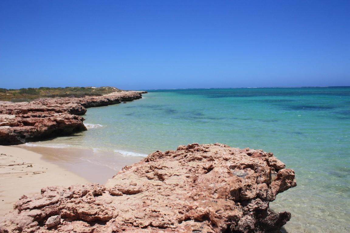
After Yardie Creek we headed back up the peninsula, stopping at a number of the beach campgrounds along the way.
Osprey Bay
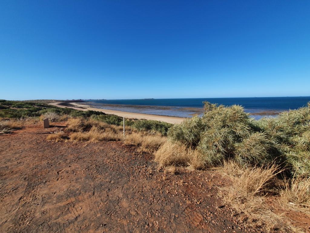
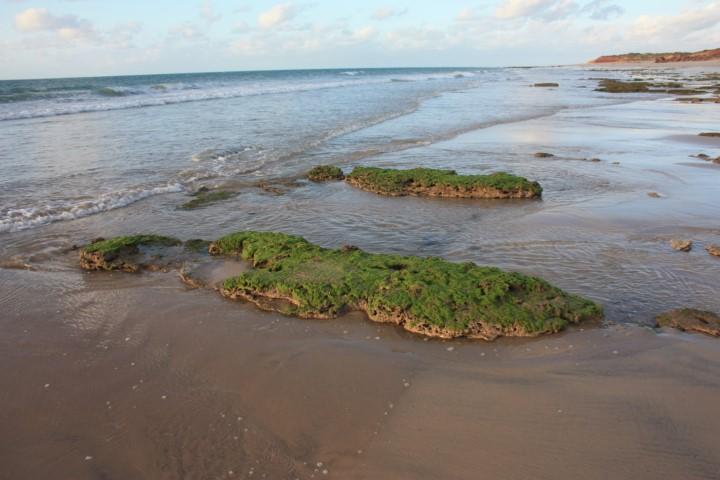
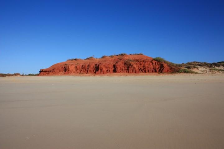
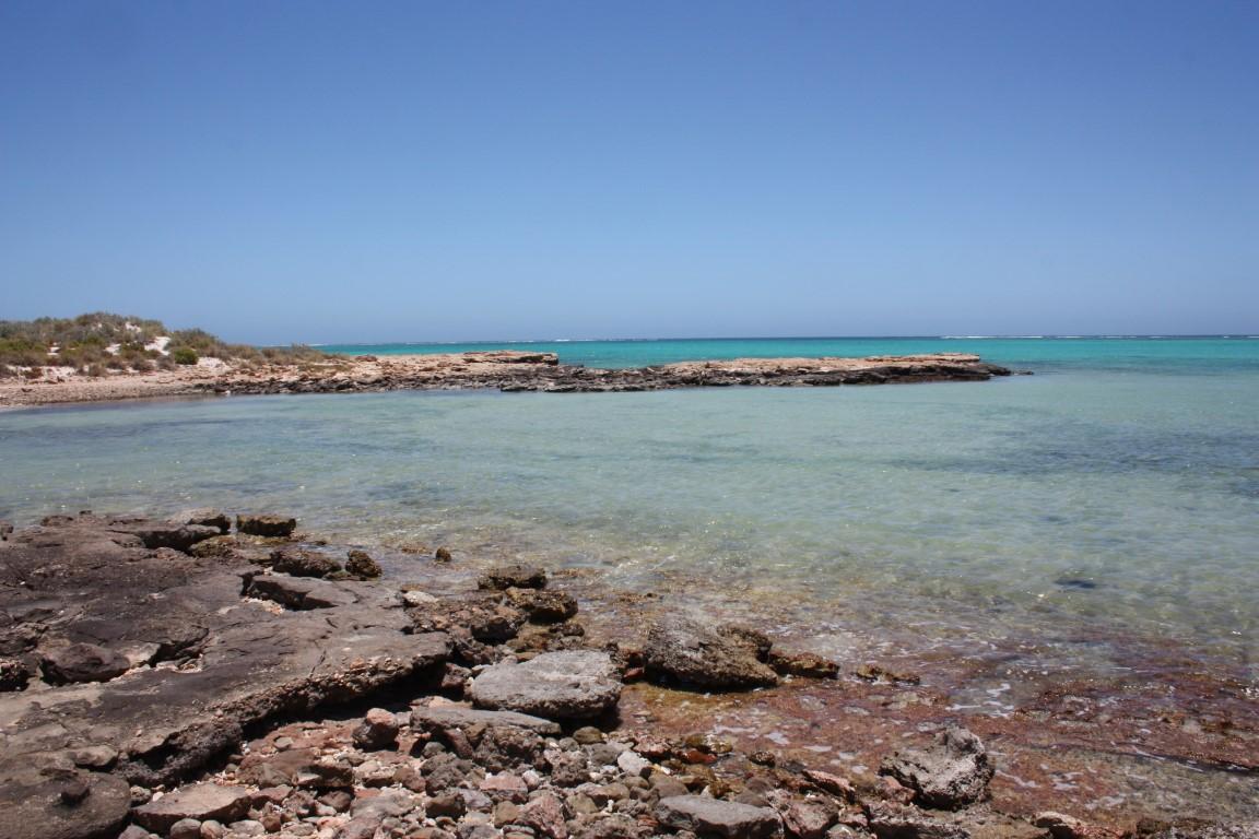
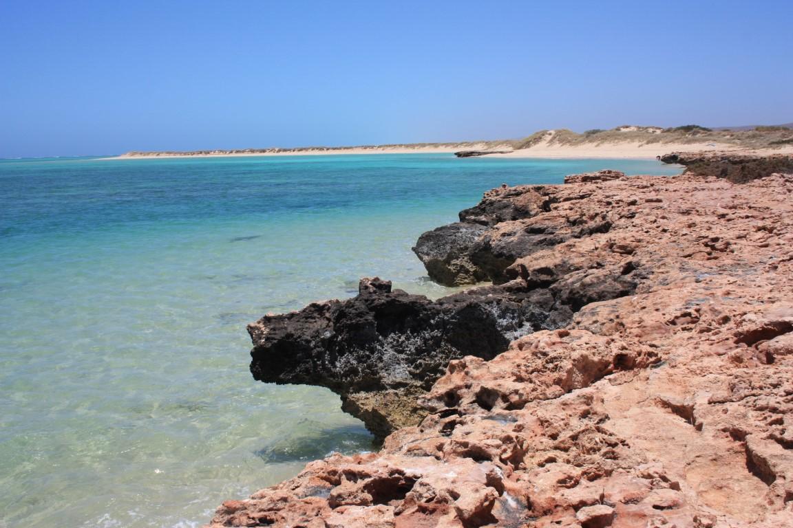
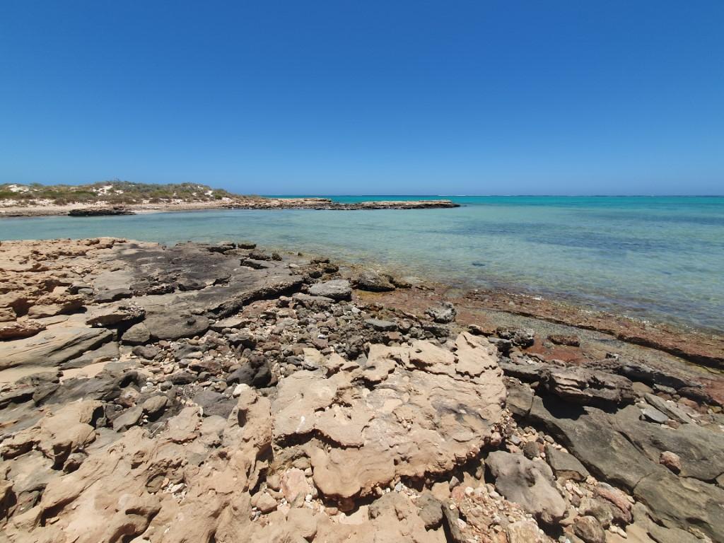
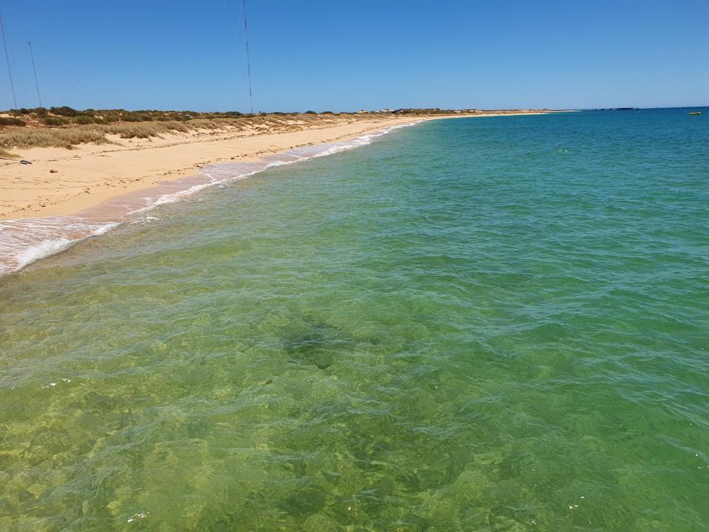
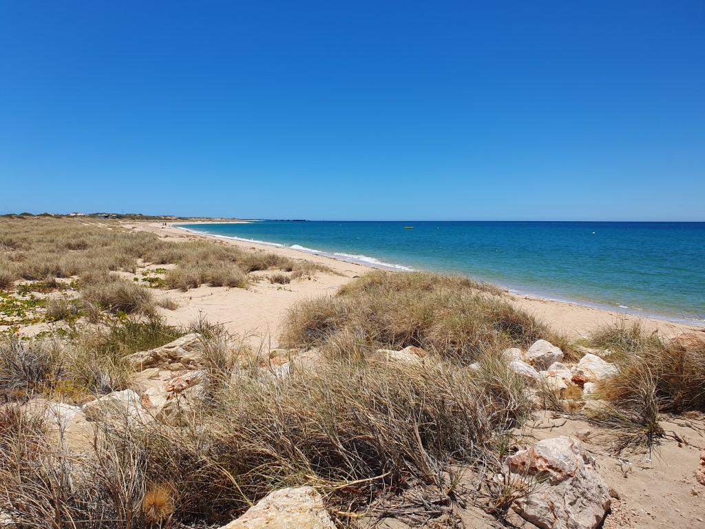
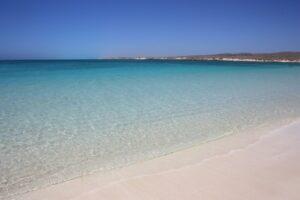
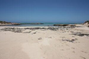
Our first stop was Sandy Bay and nearby Osprey Bay. Sandy Bay was a beautiful, white sand beach that swept around a long arc fronted by crystal clear aquamarine water. Osprey Bay on ther hand was entered by a narrow sandy strip that was bordered on either by rock ledges above the waters surface. The water here was also crystal clear above the shallow sandy bottom until it turned aquamarine where it deepened about 20m from the edge.
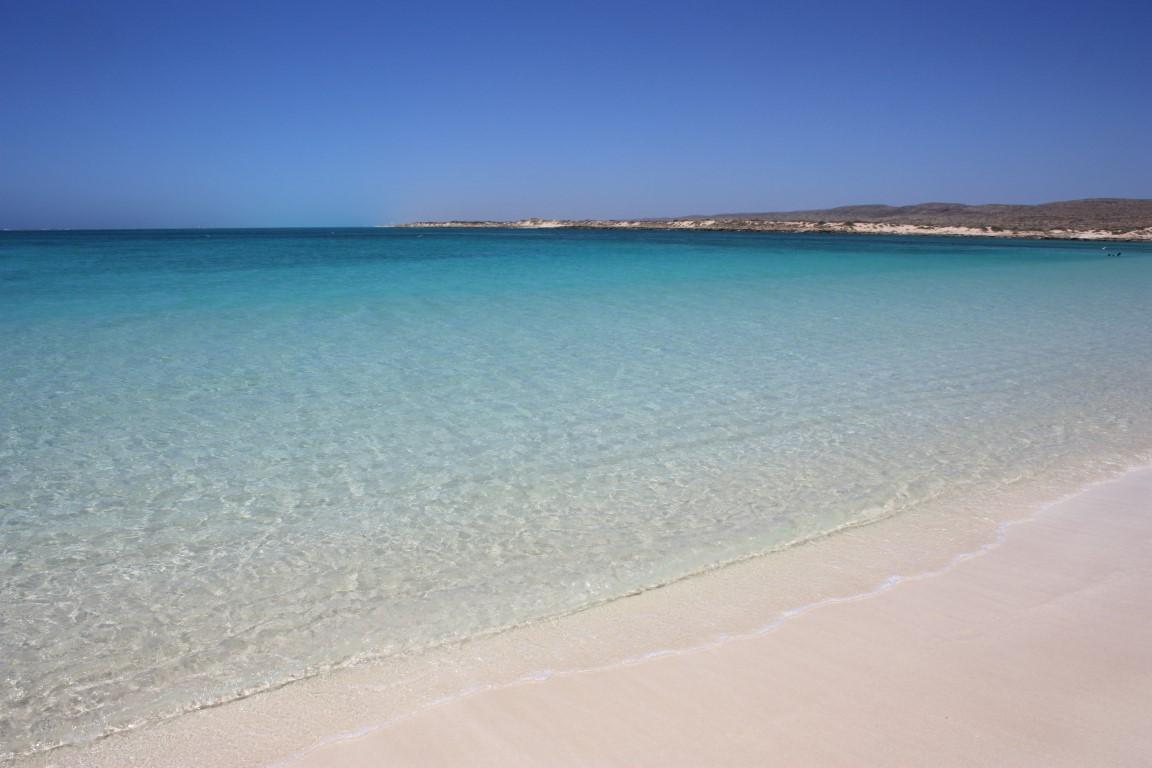
Turquoise Bay
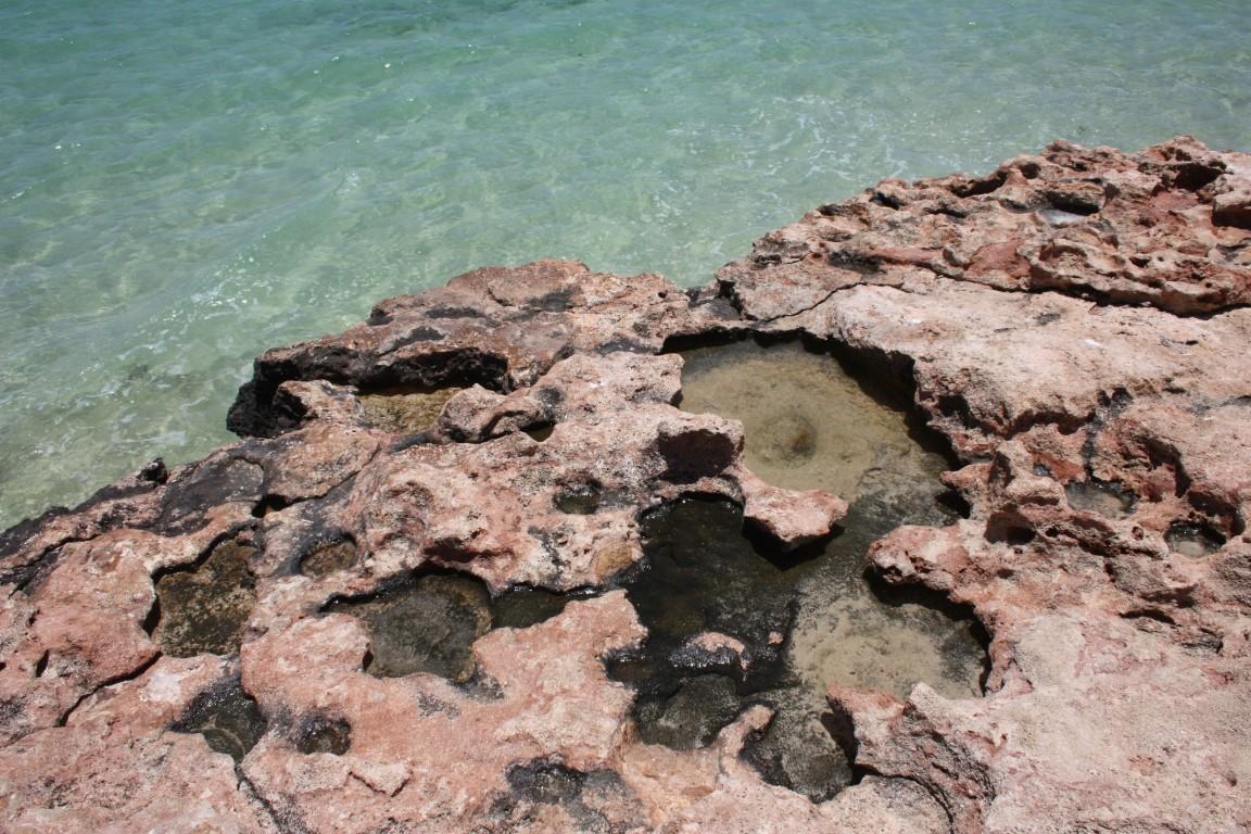
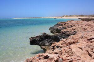
Turquoise Bay was just that… a beautiful long white sandy beach disappering into crystal clear turquoise coloured water. Turquoise Bay and the nearby Oyster Stacks (beach) are very popular snirkelling spots and there were a few people doing just that when we stopped by.

We took a short walk along the rock ledge above the water. It was like a mini lunar landscape, pock-marked with lots of little shallow bowl shaped pools; some filled with sea water. This made it a somewhat unique beach-scape compared to what we’re used to back home on the east coast.
Pilgramunna Beach
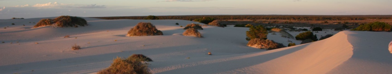
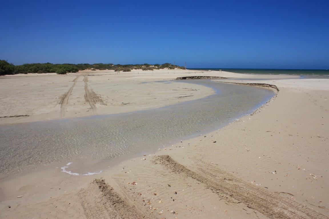
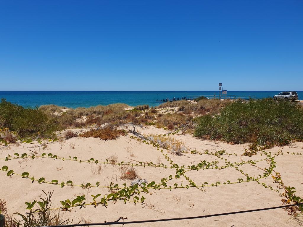
Our last stop was at Pilgramunna Beach, which is the outlet for another small creek system nestled in behind the dunes. Once again we had it all to ourselves, which heightened the sense of isolation you feel even though most of the beaches along Yardie Creek Road have small campgrounds at them.
The creek empties out, when full, via a small sandy inlet enlcosed by opposing rocky ledges that look for all the world like a miniature marina. Once again the water was crystal clear and very calming to look at, which belies the dangers of the reef and the wild weather that can hammer this part of the coast.