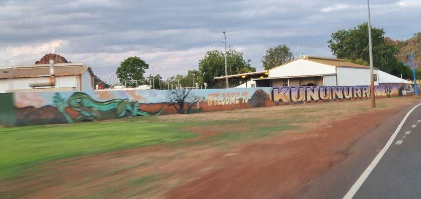
Having had a day-trip into Kununurra while staying at Lake Argyle we had a reasonable idea of the town and it’s vibe before we got there. It gets a lot ‘cautionary’ reviews on the traveller forums but like other similarly reviewed places Kununurra‘s reputation as a crime-ridden town is probably a little bit overblown. Crime and anti-social behaviour occurs there but you either have to be ‘unlucky’ or somewhat dumb to be subject to it. Sensible behaviour and security conciousness generally means a safe and enjoyable stay, which is what we had.
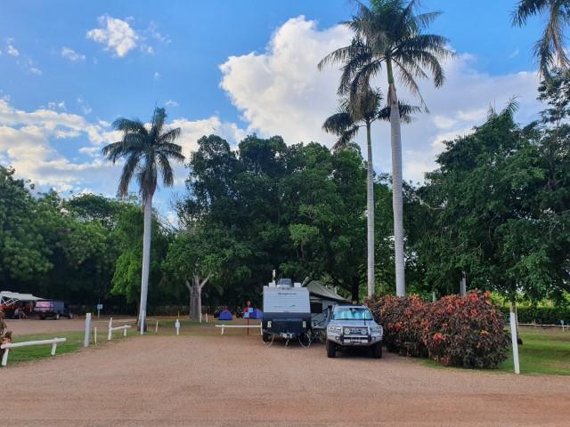
We stayed at the DIscovery Park – Lake Kununurr, which is on the edge of Lake Kununurra, a man made reservoir on the Ord River. It was a very clean and tidy caravan park with a distinct tropical feel and a well shaded pool that we used pretty much twice a day…
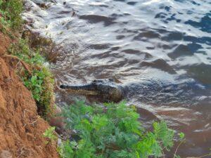
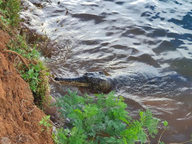
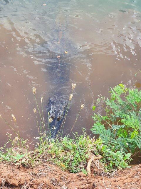
The lake is swimmable as well with locals using it for boating, fishing and paddle-boarding. We were a little dissuaded from swimming in the lake because George, a 3m 50 year old freshwater crocodile comes up to the bank for a visit every afternoon for a chat. Whilst freshies are mostly harmless (we swam with 35,000 of them at Lake Argyle) it was mating/nesting season and they can get quite defensive and have a bite if you get too close!
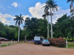
Our van site was on a nice level gravel bed ringed by palm trees, close to the pool and amenities. It was relatively cool despite the temperatures in the high 30’s. W.A. doesn’t do daylight saving so the sun is up by 5:00am and goes down between 5:30pm and 6:00pm. Unlike back home, this actually works well because things get to cool down a bit before bed time…
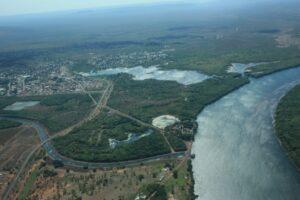
The township of Kununurra is small but lacks for nothing with Coles and IGA and a number of other businesses operating around the CBD. It is compact but welcome after the austerity of roadhouses and Lake Argyle. We enjoyed our four nights here and could have stayed longer if we weren’t so eager to get over to the west coast proper.
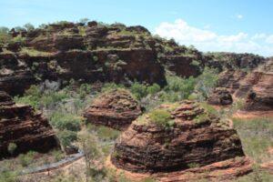
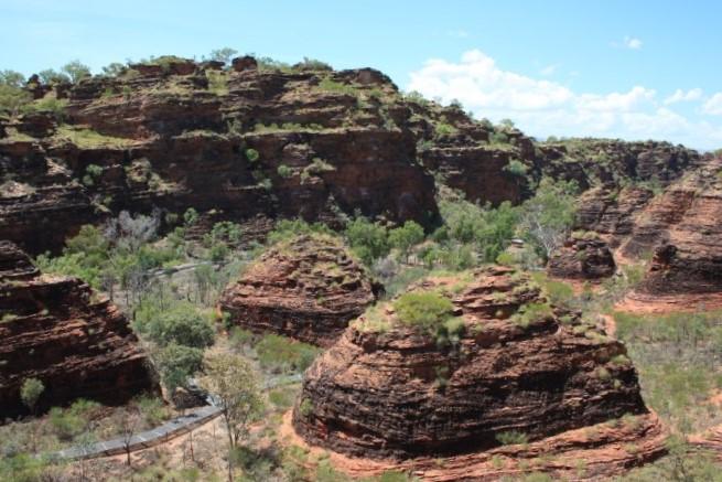
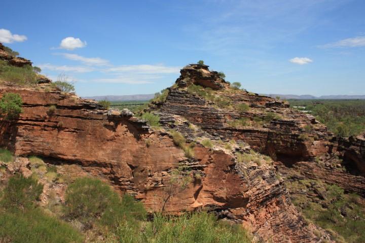
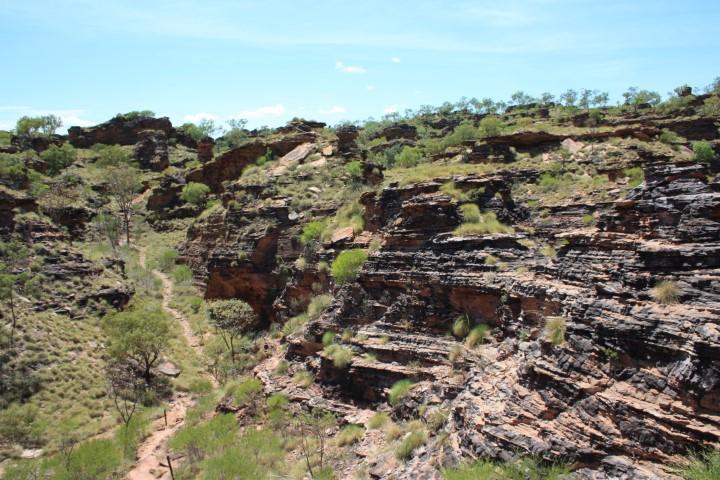
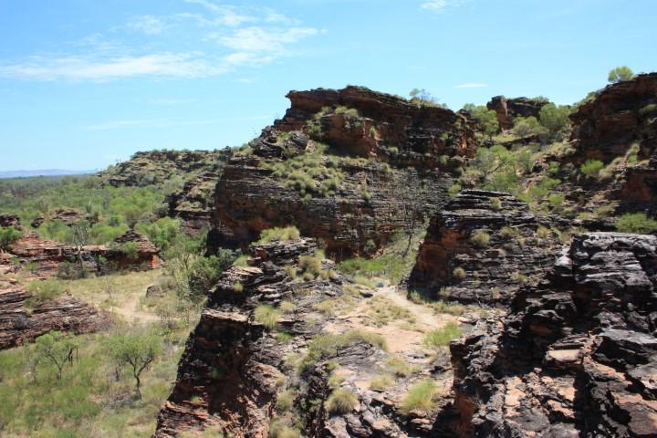
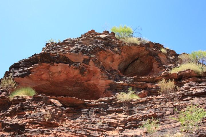
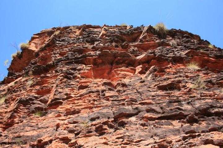
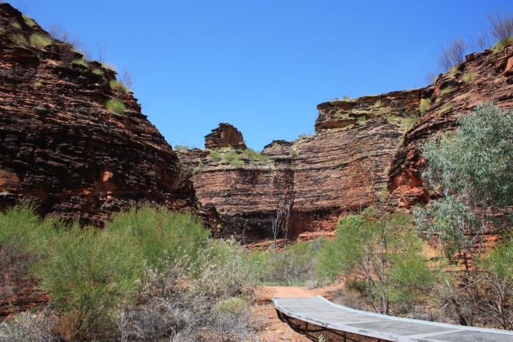
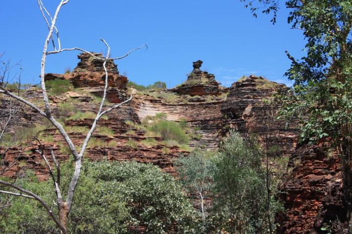
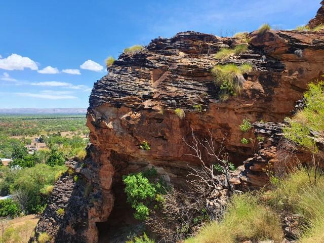
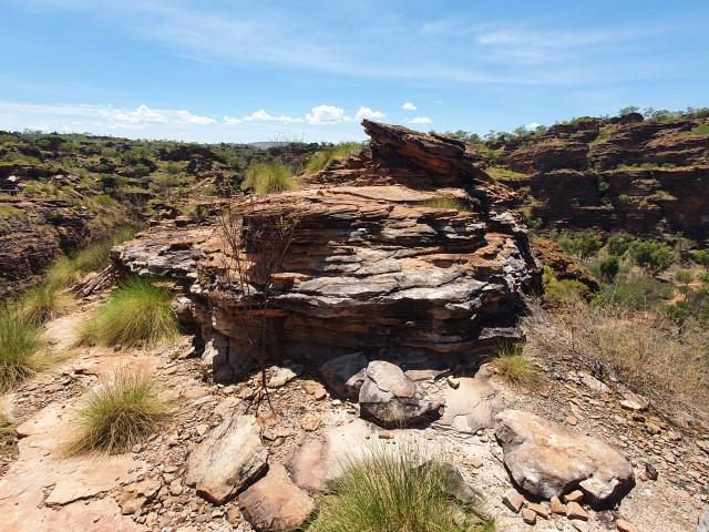
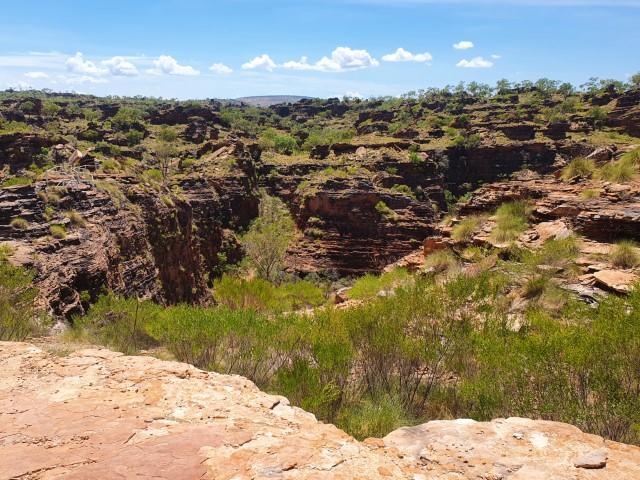
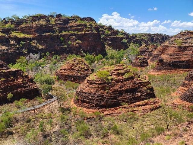
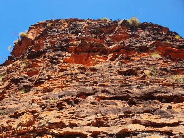
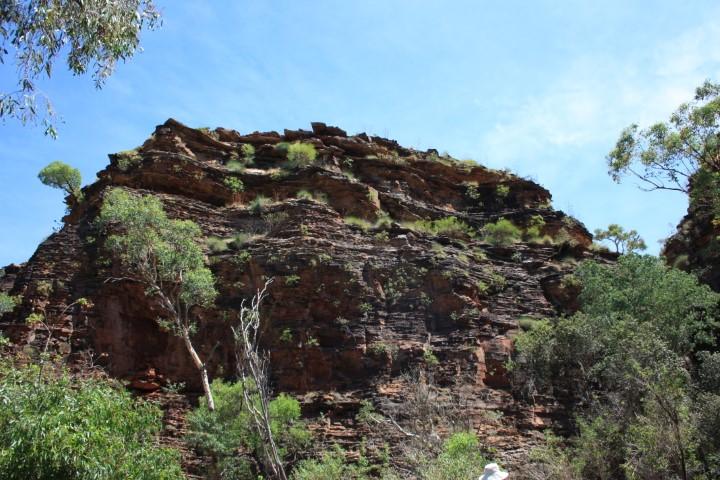
Kununurra is located directly beside Mirima National Park, also known as Hidden Valley. It is also referred to as the ‘mini Bungle Bungles’ as it has a similar grouping of banded dome-like rock formations and gorges, albeit on a much smaller and less dramatic scale.
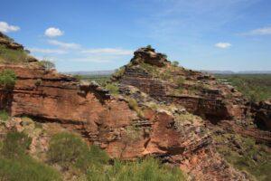
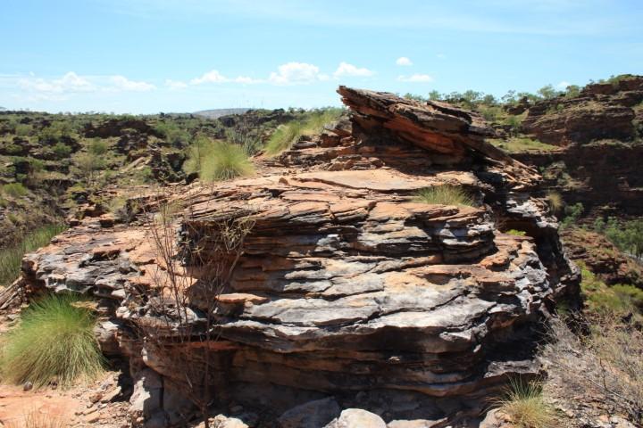
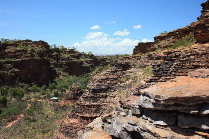
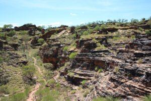
We drove to it one morning around 9:00am and hiked the trails around and up onto the ridge line for a panoramic view of Kununurra and surrounds. It didn’t disappoint and was well worth the blood, sweat and tears in doing it.
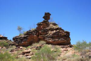
It was a stinking hot day already and the walk to the top was quite steep with a bit of rock-hopping as well as steps and boardwalks. Halfway up Rob stepped up a high natural step that wasn’t quite level, did a half-turn back and lost balance in a ‘slow motion’ forward fall and back over the 1m rock ledge he had just stepped up onto. His SLR camera clattered on the rocks and his arms went forward to break the fall as his legs remained perched on the higher rock ledge.
After all of that, the camera sustained no damage whatsoever… not even a scratch mark on the casing… Rob however, came away from it with grazes to the left hand, grazes to the right elbow, grazes to the left knee and a corked thigh that satyed corked for the next three days. All in all, a good outcome from something that could have been a lot worse… There wasn’t even any visible bruising afterwards.
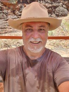
It was about thirty minutes of hiking from the bottom to the top and back down again. Our shirts were dry as we hiked but as soon as we sat in the shade at the bottom the sweat began to flow from every pore in our bodies…
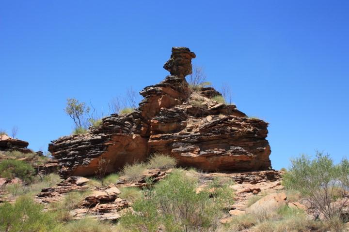
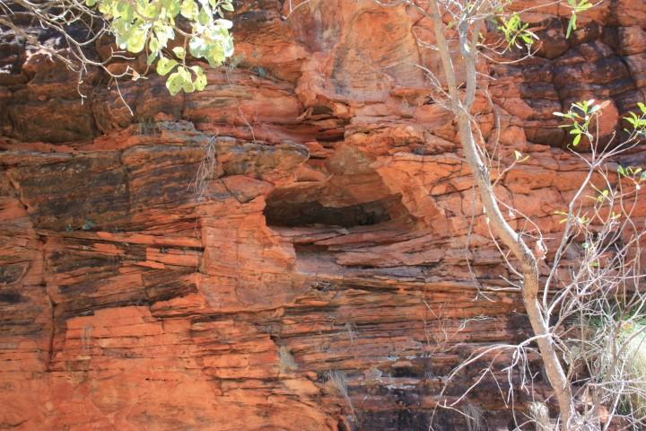
The view at the top and the hike were well worth doing despite the tumble. The striking banded red rock formations are just so evocative of the top end of W.A. and the Kimberly region. It is similar but different to Kata-Tjuta, Kings Canyon, etc. in the N.T. The red earth is a deeper brown-red than the orange-red-brown of the N.T.
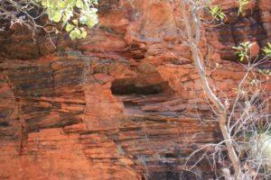
Both versions of W.A. and N.T. ‘red earth’ are somehow soothing to the soul despite their harshness. They are as iconic of Australia’s top-end as the lush rainforests of Qld or the squeaky white sand beaches of NSW. The formations of Mirima National Park stand guard over Kununurra and also provide the high point where their communications tower is located.
So… you can’t come to the Kimberly without seeing the Bungle Bungles… one way or another! One option is to drive there but we had heard and read persistent reports that the 50km off-road track into the Bungle Bungles camp site was in bad repair taking three and a half hours each way and that people were breaking axles and damaging their vehicles doing it. Although we’re sure the cruiser could handle it… we didn’t think that we could so we chose not to that.
There are helicopter flights from Kununurra, Broome, some roadhouses but they’re all hugely expensive for a minimal flight straight there and back. Rob having had a teenage obsession with helicopters wasn’t all that keen on flying in the small Robinson helicopters that are in common use in the top end. Too many ‘hard landings’ have occurred with this machines (although many of these are from heli-mustering cattle at extremely low altitudes).
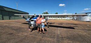
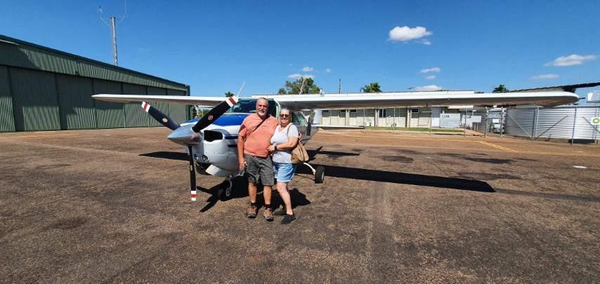
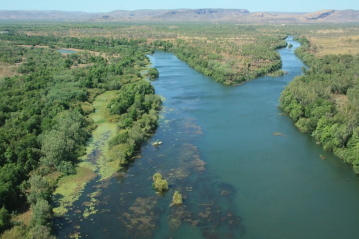
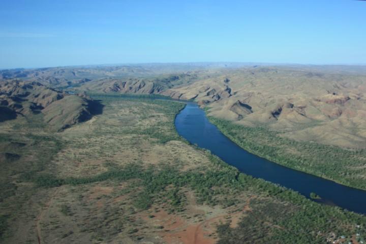
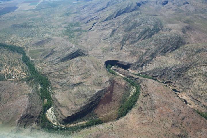
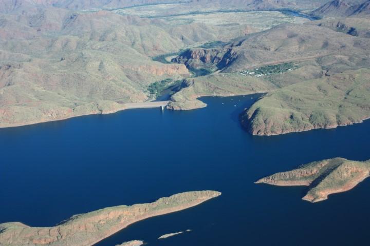
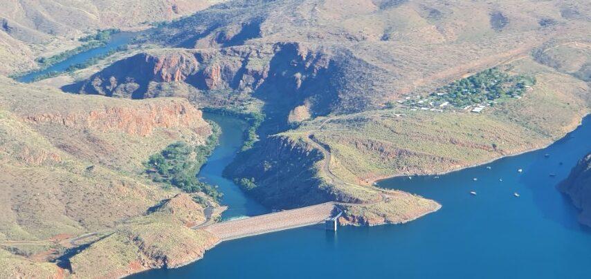
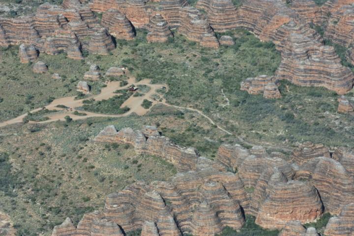
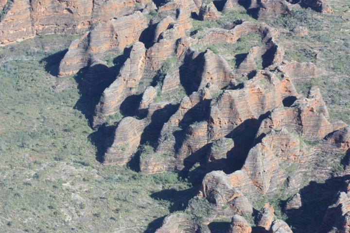
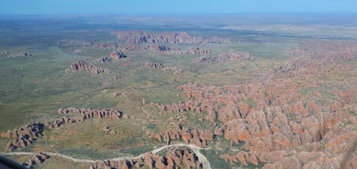
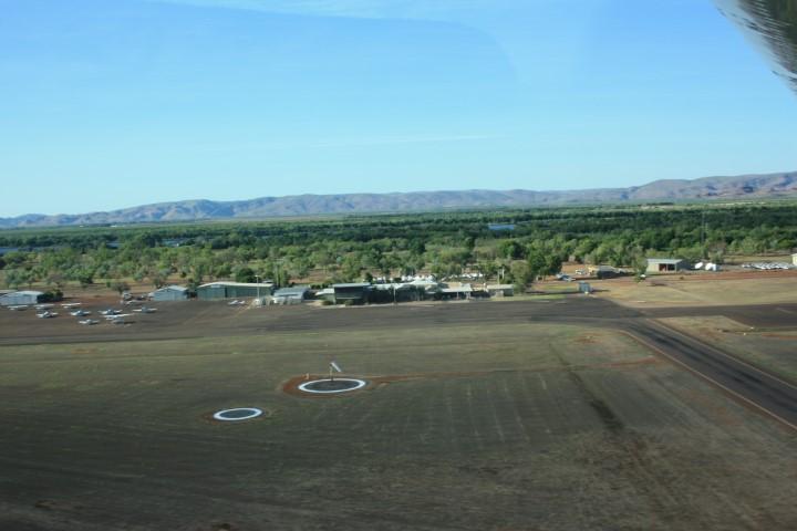
We chose instead to take a fixed-winged flight with Kimberly Air Tours from Kununurra airport. It was the best choice by far. Pickup at 6:00am from the caravan park, 2 hours flight time in a six seat Cessna 210 tracking over Lake Argyle, the Ord River, Bow River, the Bungle Bungles, Argyle Diamond Mine, cattle stations and then back over Kununurra to Ivanhoe Crossing before returning to the airport and back at our van for breakfast by 9:30am.
We had a young’ish pilot, Beau, who did a superb job of flying and narrrating the journey as we went. At various points he would explain the features below us in detail and at others he would explain that he was going to stop talking for a while and let the landscape speak for itself.
Being a small plane it is loaded for the optimum weight distribution so Rob was lucky enough to be allocated the co-pilot seat. Despite knowing the basics of flying the instrument panel for such a small aircraft was still a dizzying array of analogue dials, multi-function knobs and digital outputs. Always as interesting as the scenery itself.
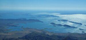
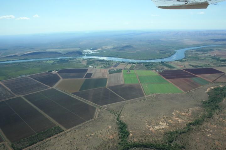
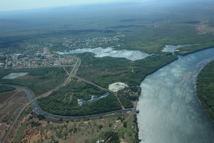
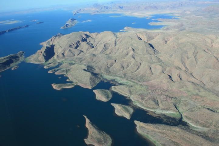
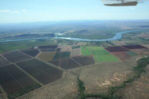
Flying over Lake Argyle we finally got to see the enormity of this man-made inland sea. The incongruity is that only about 1% of the water is used for agriculture. Originally used for rice and cotton, these proved to be problematic due to pests, The most lucrative crop to date is Indian Sandalwood and Australia is now the world’s largest supplier of this aromatic wood and its derivative products. Other fruit and vegetable crops are starting to take hold and Kununurra is planning to increase its population to 40,000 by 2040 by extending the irrigation channels to increase the land area under agriculture.
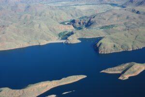
We saw the Lake Argyle Resort, where we had stayed and it was just a tiny splotch of development on the otherwise empty land area that surrounds the lake, excepting the cattle stations. Two smaller cattle stations adjoin each other across the Bow River (of Cold Chisel fame) and between them they lose 400 cattle a year to saltwater crocs in the river. It gives some perspective to the harshness and remoteness of the land as we fly over it.

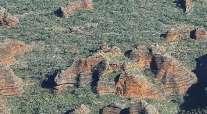
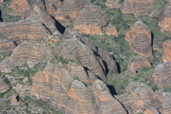
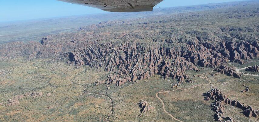
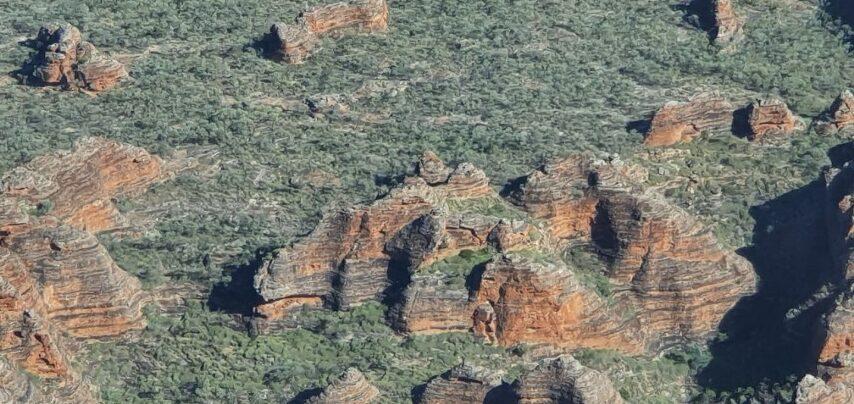
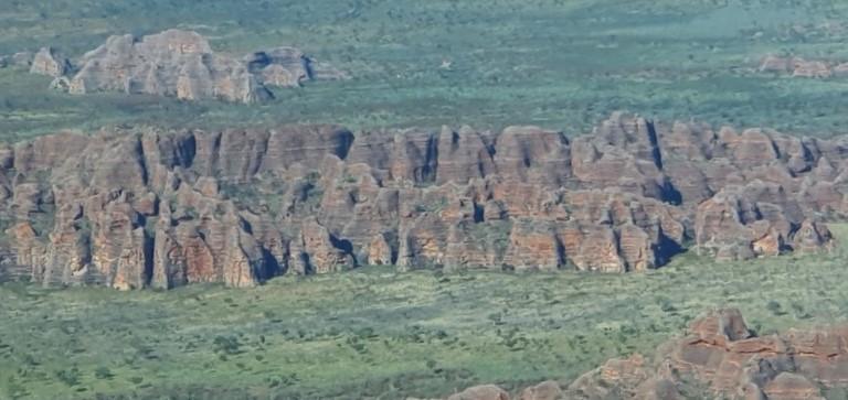
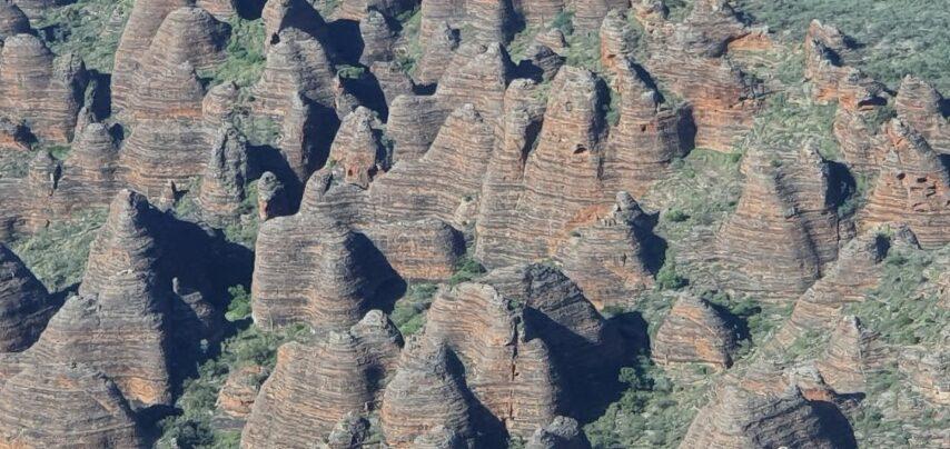
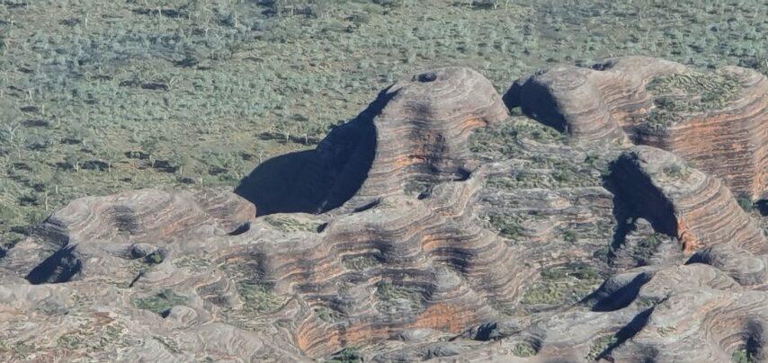
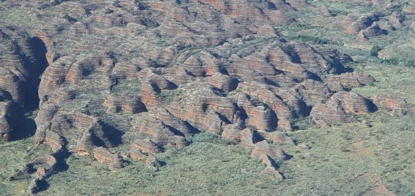
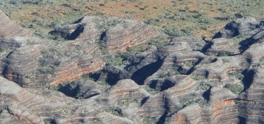
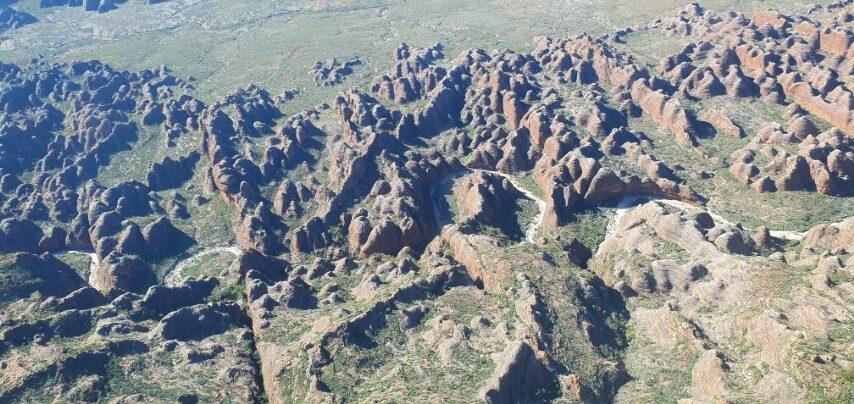
After nearly an hour we approached the magnificent Bungle Bungles with their distinctive maze of horizontally striped mounds. They were really only ‘publicly’ discovered 40 years ago when a news crew in a helicopter were told to have a look by local stockmen. The mounds and hillocks are quite mezmerising with their swirling patterns. Seeing them from 2,500 feet in a low, slow flying plane was definitely a good option. It also gave us a chance to appreciate the difficulties and harshness of the area if you go in by foot, especially in the building heat…
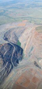
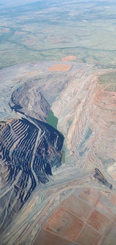
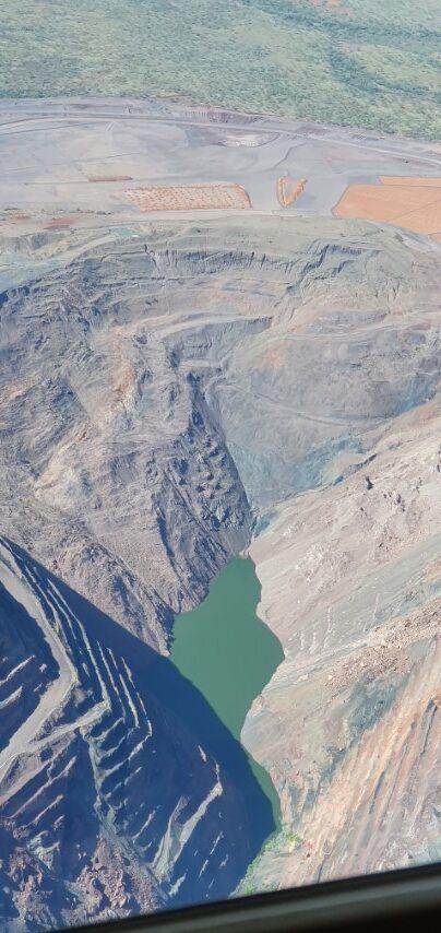
Tracking back from the Bungle Bungles we overflew the Lake Argyle Diamond Mine. The open step-cut mine took us completely by surprise with its size and depth. Currently being closed down over two years, their is still activity that is slowly winding down.
Not far from the mine is the aerodrome, capable of landing 737 jets. Apparently one of the last activities at the site will be to rip up the runway to a depth of 1 or 2 metres to extract the surface diamonds before returning the strip to a more natural state… Don’t know what will happen to the big hole though.

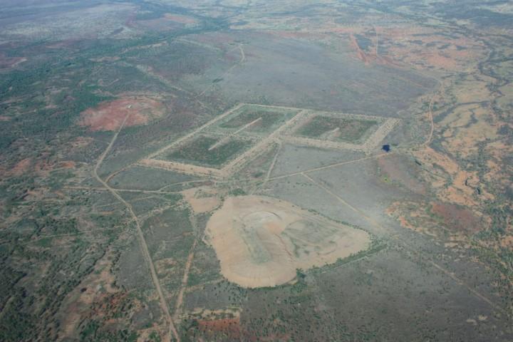
We also saw the remains of the smaller Bow River Diamond Mine, which was three raised squares in an arrowhead formation. It was totally out of step with the surrounding landscape but weirdly reminiscent of the Nazca Lines in Peru being a huge geometric pattern in a natural setting…
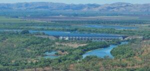
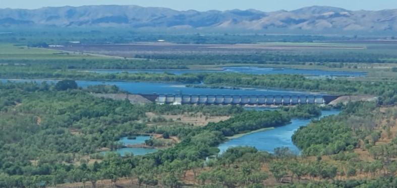
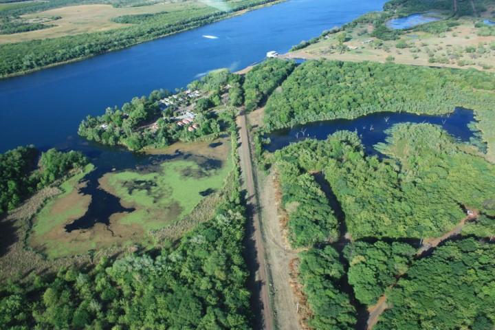
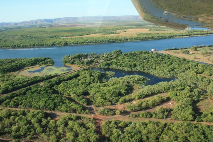
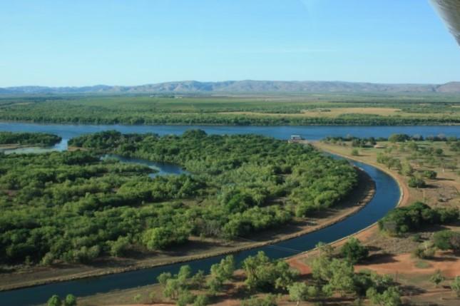
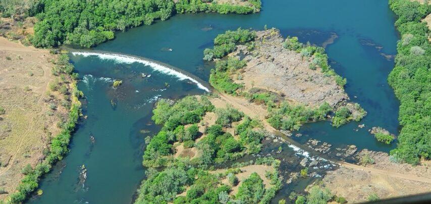
After the diamond mines we flew back over the farms and sandalwood plantations of Kununurra, which again were in stark contrast to the naturally un-geometric patterns of Mirama National Park and the Ord River. We saw the Kununurra Diversion Dam that siphons off and controls the irrigation water and keeps Lake Kununurra at a constant level.
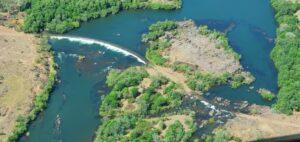
Then on to Ivanhoe Crossing, an arc shaped man-made causeway that you can drive over. The water is probably less than 30cm deep but is quit fast flowing. The track is denoted by concrete bollards above the water line.

We finally touched back down with an uneven, but soft, landing on one wheel first, then the second a few seconds later and finally the nose wheel… The wind was a little blustery as we came in but Beau did a masterful job of lining up and balancing the back down onto three wheels.
It was a magnificent flight and almost as good as the ‘doors off’ helicopter flight we did in Sedona (USA) a number of years ago…
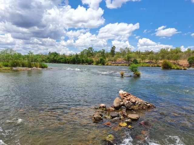
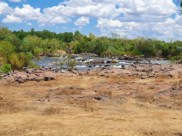
About 13km out of Kununurra is Ivanhoe Crossing… A long causeway that extends across the Ord River near the Ivanhoe Station. It is renowned as a croc spot but we didn’t see any on the day.

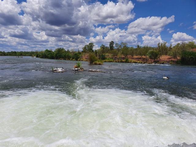
The causeway is in two sections with concrete bollards on each side to mark the edges and therefore the track to follow through the water. It’s a bit daunting as you approach it as the water is quite fast-flowing as it spills over the edge of the causeway.
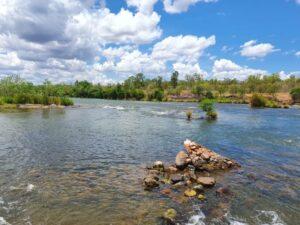
Prior to being built, school children from the far side had to be taken by boat across the river to a bus waiting on the other side to attend school in Kununurra.
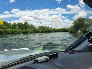
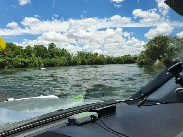
Coming back across Jo conquered her childhood fear of driving through water and took the wheel for the return crossing. We didn’t see any crocs at, or during, the crossing but we were assured that they are there by locals just the same.
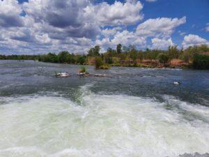
In the end, it is quite an easy drive through the water to the mid-point and then across the second stretch. It is quite a pleasant area and, despite the presence of croc, it is a popular fishing, picnicing and ‘swimming’ spot. We even saw a young couple taking a dip in the water beside the causeway entry point. Braver than us!
Hoochery Distillery
The Kimberly area ued to be a sugar cane growing region although not so much anymore. One enterprising farmer decided to build himself a still and created the Hoochery Distillery, about 6km from Kununurra.
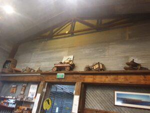
It’s a surprisingly well established business despite the remoteness. The deceased found, Spike, built his own (not the world’s prettiest still) from suplus farm bits and pieces and taught himeslf how to distill spirits. The focus, being the tropics and sugar, was rum.
The offering has diversified to gin and corn whiskey but rum is still the mainstay. Their twist is to step it up with tropical spice or mango flavouring as well as the straight white, underproof and overproof rums.
Unlike a lot of boutique distilleries, their prices aren’t ridiculous and Rob ultimately walked away with a Hoochery 5 Rivers Spiced Rum for $89. It was doubly strange because Rob is not generally a fan of ‘spiced’ rum. The Hoochery 5 Rivers Spiced Rum was a bit different and a little more subtle than the typical Bundaberg or Captain Morgan’s spiced rums.
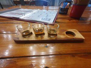
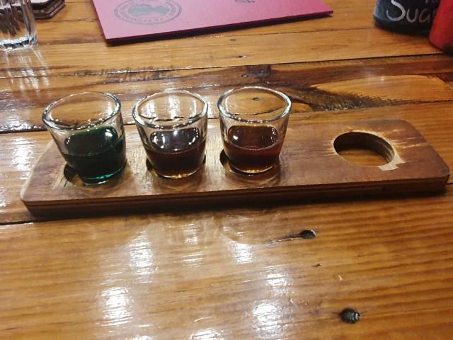
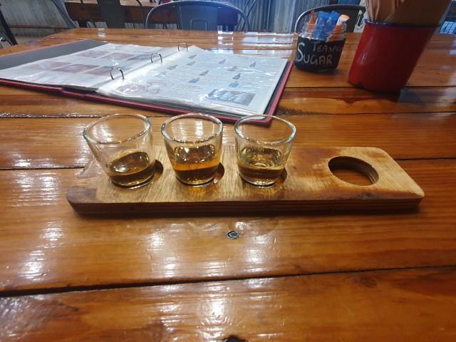
Rob also did a tasting paddle, which is why he chose the Hoochery 5 Rivers Spiced Rum. The corn whiskey was a little disappointing, when compared to a bourbon but on the whole, their spirits were very good, very clean and fairly priced for a small operation.
Spike’s still, which is still going, is apparently the oldest, continually operating ‘legal’ still in Western Australia. The sign on their wall sums up Hoochery to a tee:
“CREATED USING TRADITIONAL, INEFFICIENT AND LABOR-INTENSIVE METHODS”
Just the way spirits should be made!
Sandalwood Shop
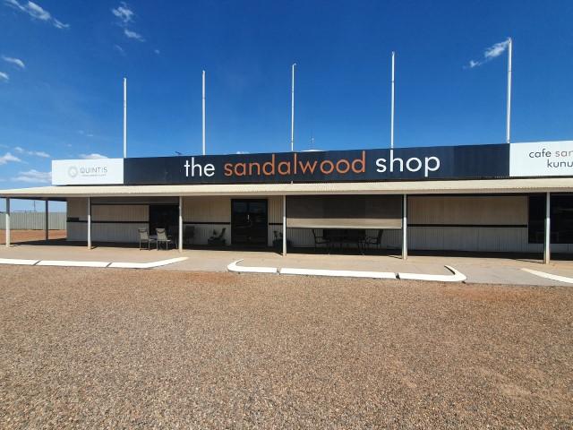
Not far from Hoochery is the Sandalwood Shop. Who knew that the Kimberly is the world leader in Indian Sandalwood and that Indian Sandalwood is worth so much money…
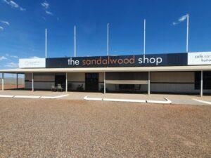
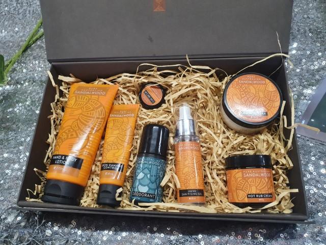
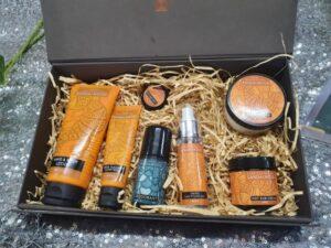
The Sandalwood Shop is purely a retail outlet for the surrounding sandalwood plantations selling a large range of creams, lotions, deodorants, body washes, etc… There is also a range of finished/polished, sandalwood pieces, incense sticks, mozzie coils and woodchips that you can use for display or to ward of insects.
The shop has a small area where they show a short video about the local sandalwood industry and how the Kimberly farmers have virtually saved Indian Sandalwood from going extinct due to overharvesting in other countries.
The sandalwood plantations take 15 years to produce harvestable sandalwood but given the astronomical price for sandalwood oil and wood it is a very lucrative industry in the Kimberly.
We didn’t know until our visit that sandalwood actual requires a host tree and the Kimberly plantation uses native acacia trees as the host. Quintis is the company that produces the sandalwood and by all accounts appears to be the world leader in this field.
The shop itself focusses on cosmetic products and is almost but not quite verging on the ‘crystal hugging, spiritual well-being’ side of retail cosmetics… at least not overtly. Despite this,Rob came away from the shop with some Larrikan Shaving Gel and Jo with a small tube of Mount Romance Skin Damage Control.

