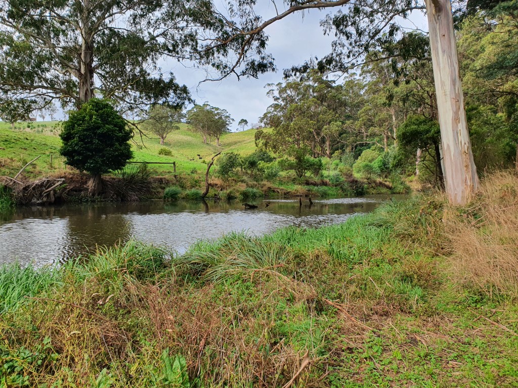
A much more comfortable and enjoyable drive from Sale to Yanakie, especially with full batteries. Apollo 13 was back on course and the oxygen scrubbers were fully functional. Big sigh of relief.
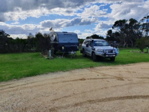
Our destination was Yanakie Caravan Park, which is about a third of the way down Wilsons Promontry, the southernmost point of the mainland. The caravan park is a couple of kilometres from the township of Yanakie, where there is a Petrol Station, General Store, part-time Cafe and some houses. We were expecting to gasp at the prices in Yanakie but much to our surprise they were barely different to anywhere else.
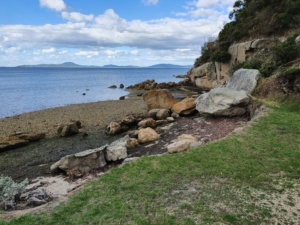
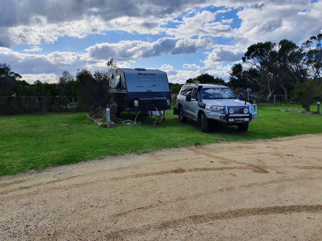
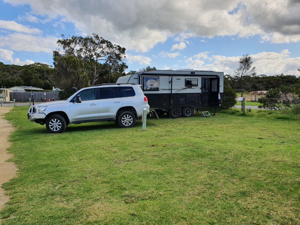
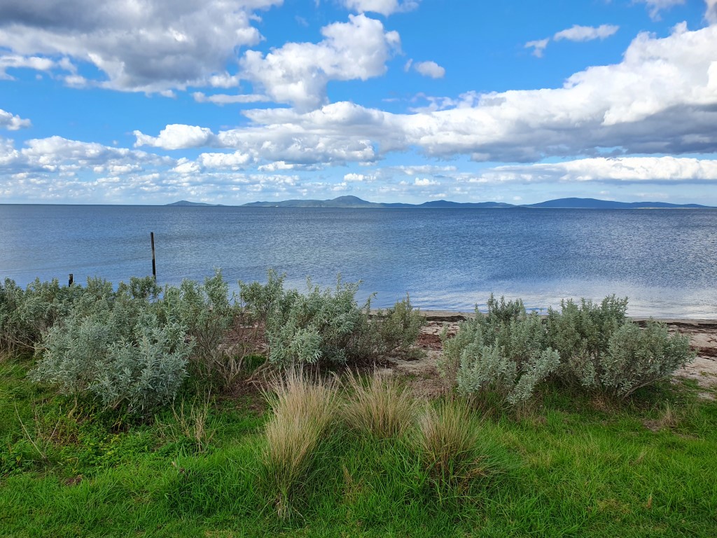
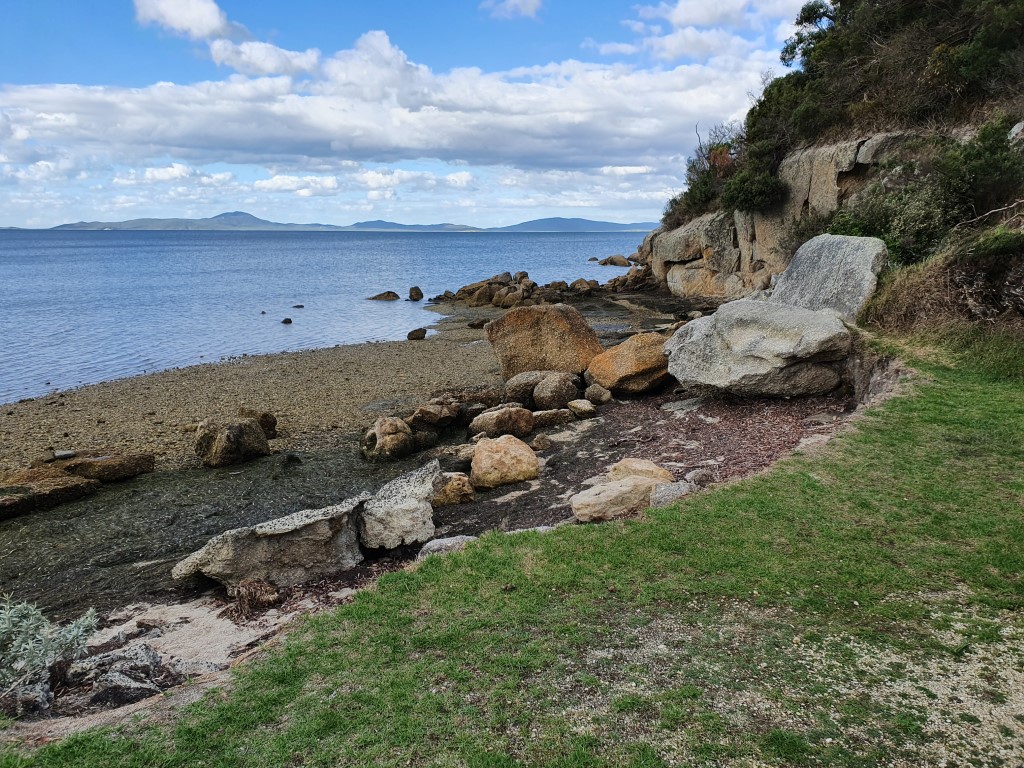
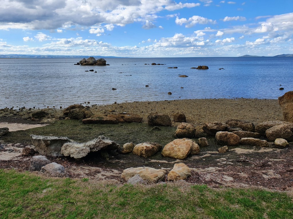
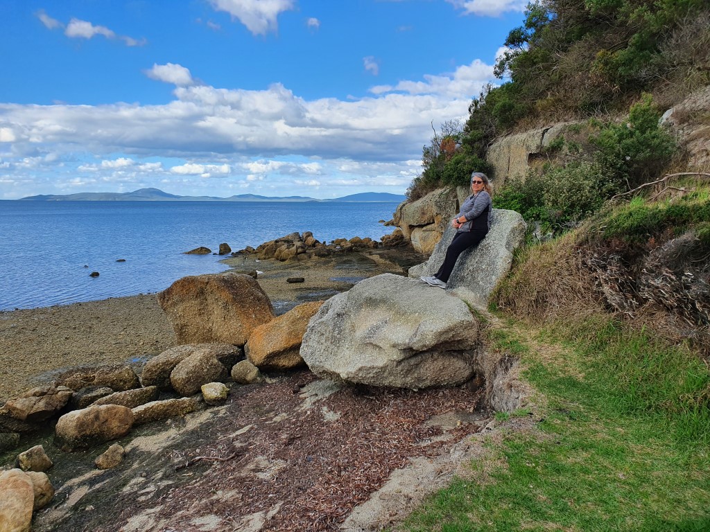
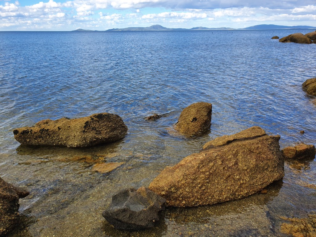
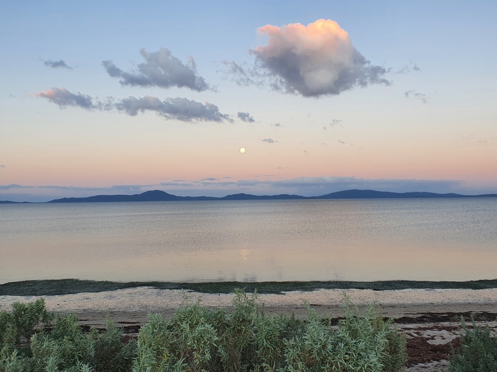
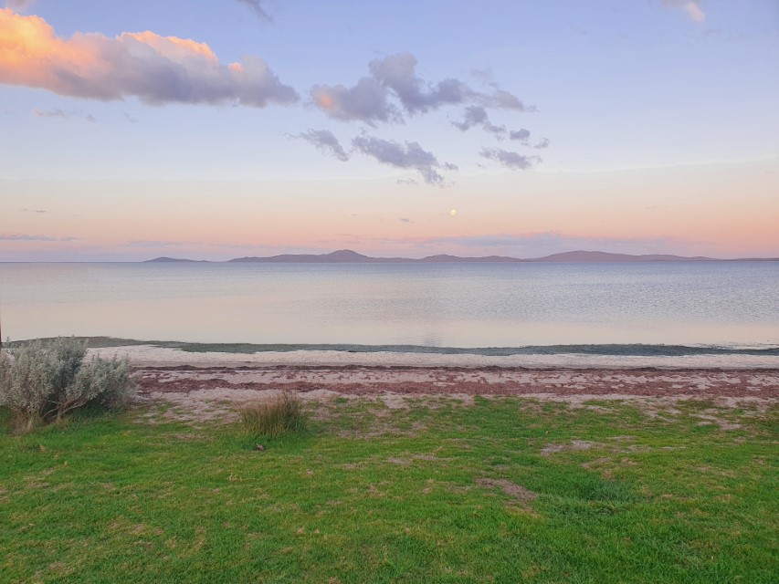
The caravan park is on the waters edge at Duck Point and looks out over the Corner Inlet Marine & Coastal Park. It feels slightly isolated without actually being isolated. Driving down the neck of the promontory you pass a number of lush green dairy farms, which all display the company they supply to, eg. Bega or Devondale.
We settled in for a five night stay with the kowledge that the weather was going to gradually deteriorate whilst we were there and then hopefully become more pleasant on the day we were to leave. That’s pretty much what occurred.
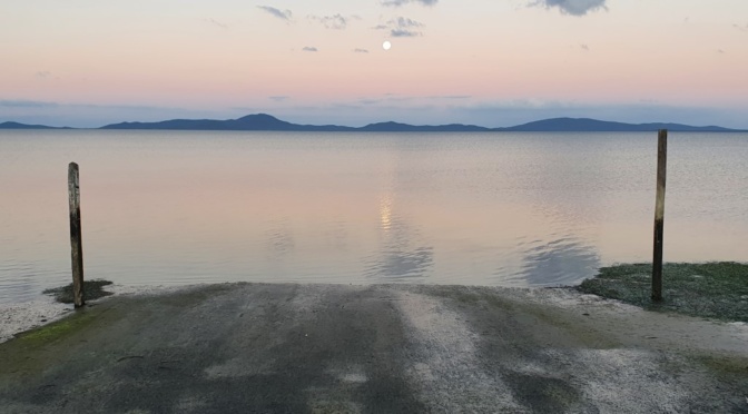
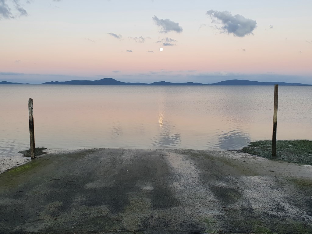
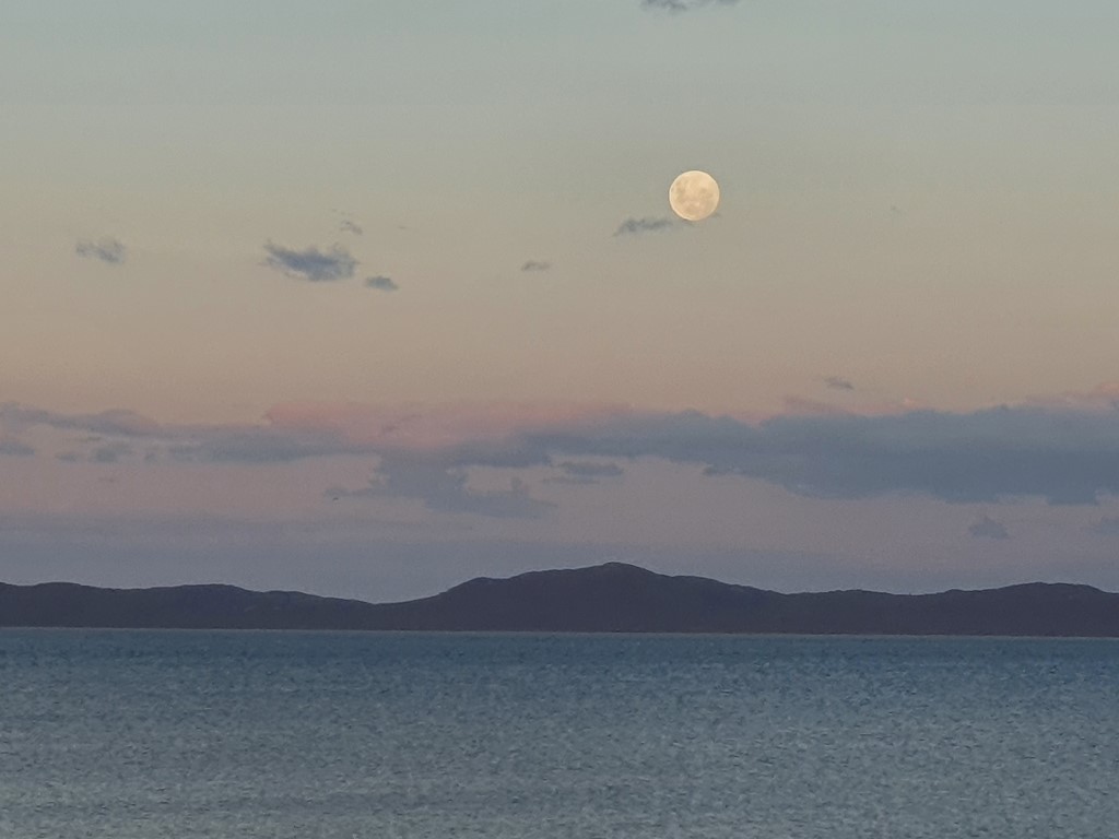
On our first night we were treated to mild temperatures and a magnificent moon rise over the water that more than made up for the drizzly, rainy, windy, mini-gales, blue sky, more rain that was to follow.
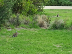
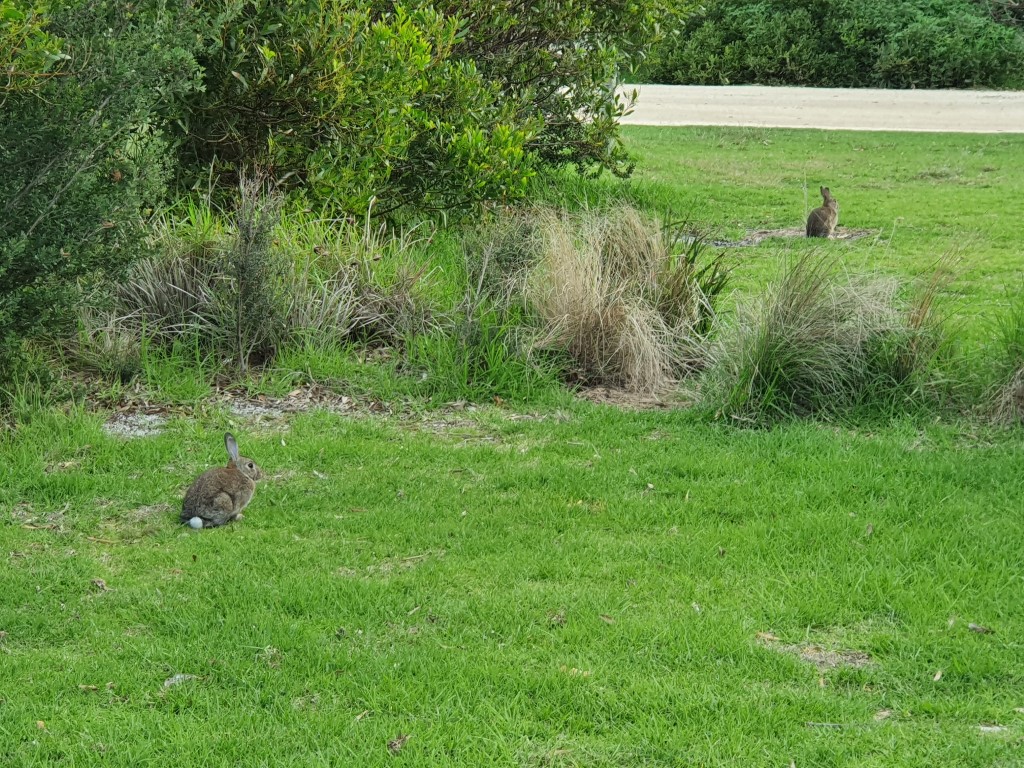
We had the park, which was quite large, almost completely to ourselves during our stay with the exception of abundant wildlife including rosellas, rabbits, swans, gulls and a chunky wombat that made an appearance around dusk. We were also pleasantly surprised to find that our site was also one of the handful in the park that had a water hookup with drinkable water. High luxury indeed as we were expecting to have to ration out our onboard tank water for five days.
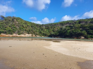
Tidal River is about two-thirds of the way down Wilsons Promontory and is as far as you can go by car. It terminates with a very large campground that includes a shop/cafe and an outdoor picture theatre.
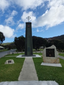
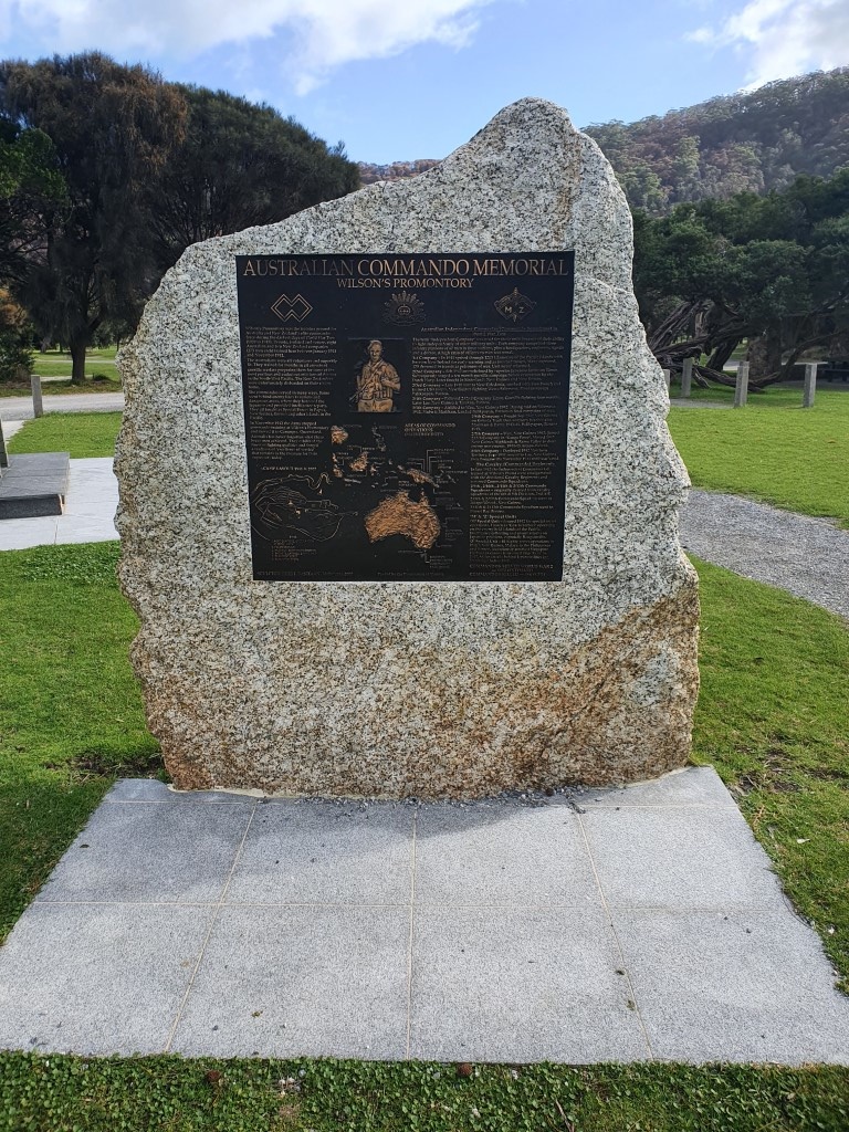
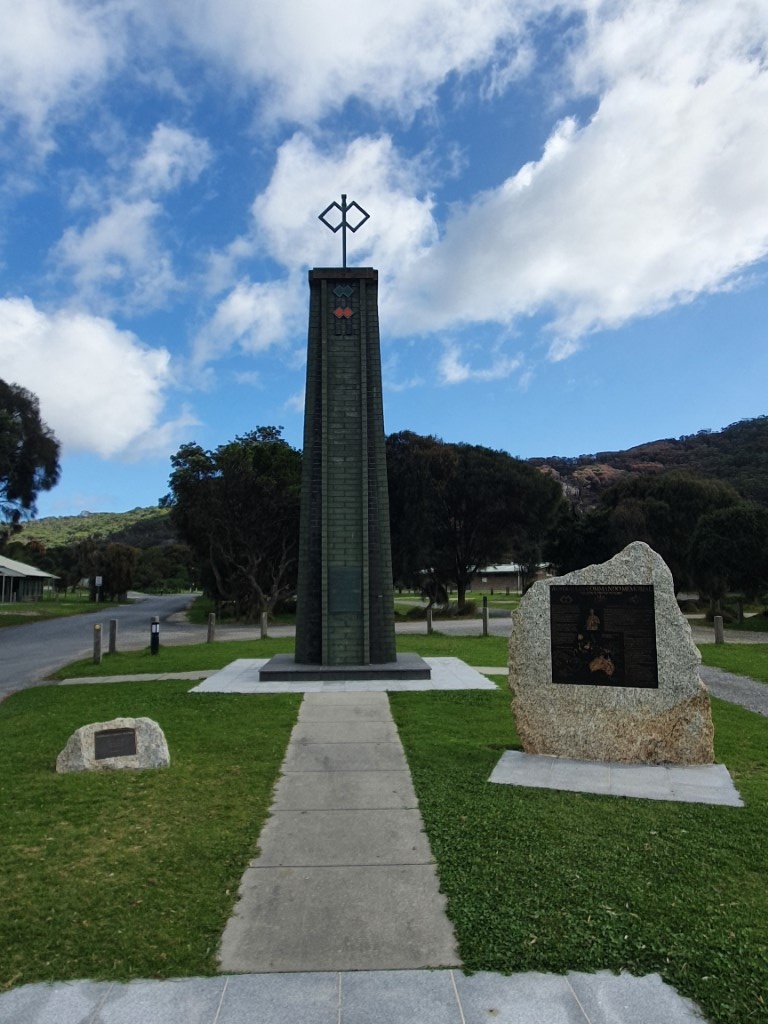
Another point of interest at the campground is a monument to the Australian Commandos who used the area as a training ground during the two World Wars. It was chosen for its wilderness and remoteness.
Tidal River is also the primary point for hikers who want to make the 17km trek down to the very bottom of The Prom’. It can be done in a day but probably best done as a two or three night camping trek. The weather was deteriorating whilst we were there so little chance of us even contemplating such a venture. Besides which, there are plenty other spots for walking and viewing.
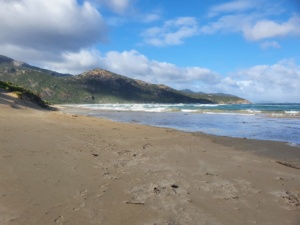
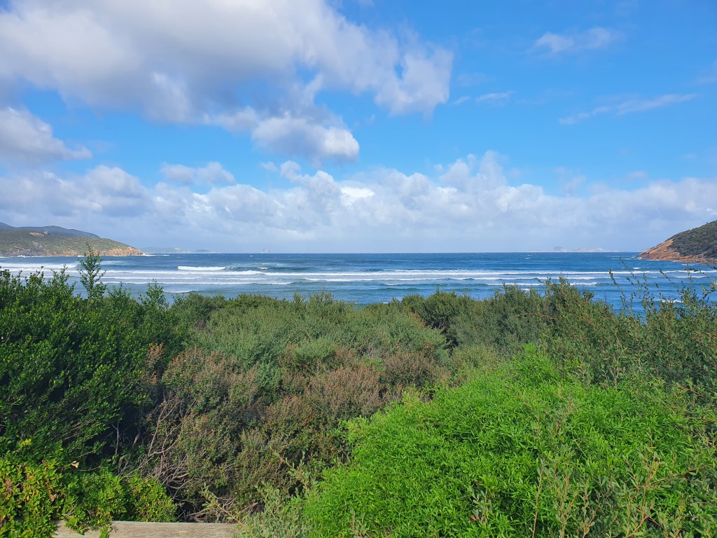
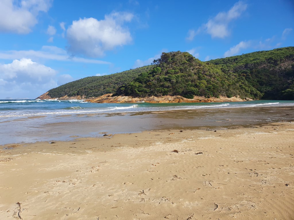
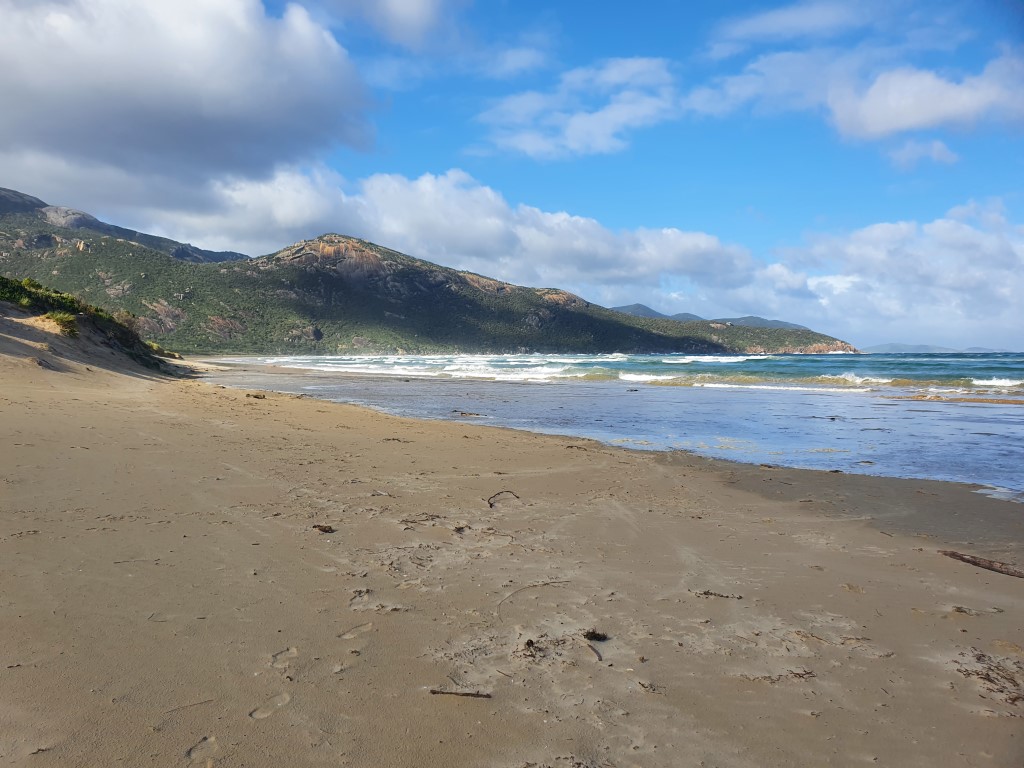
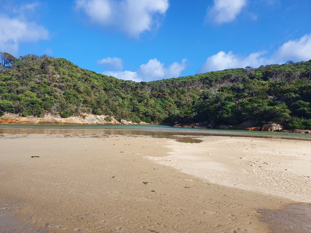
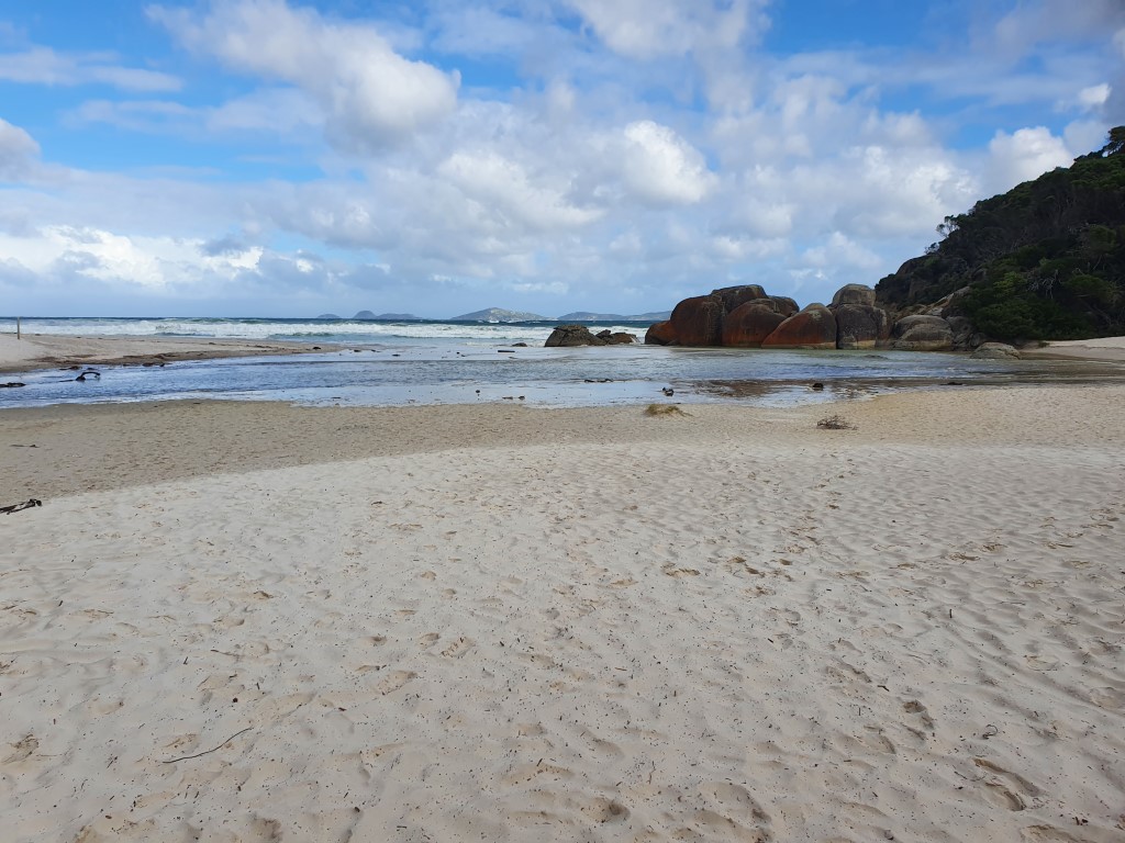
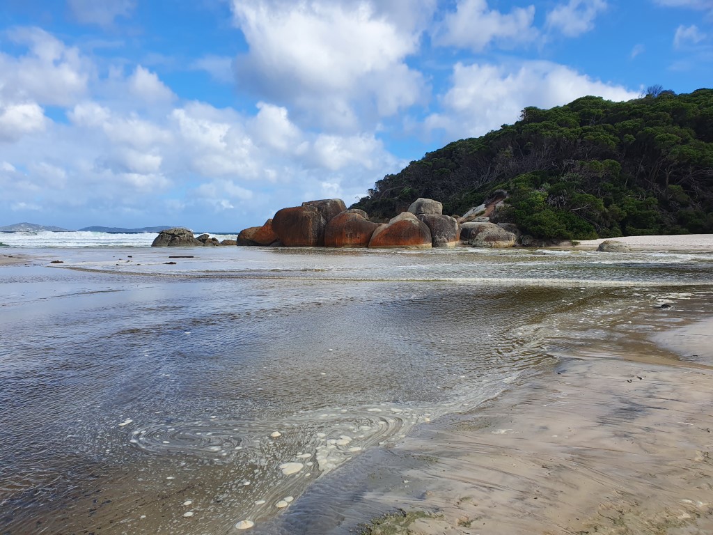
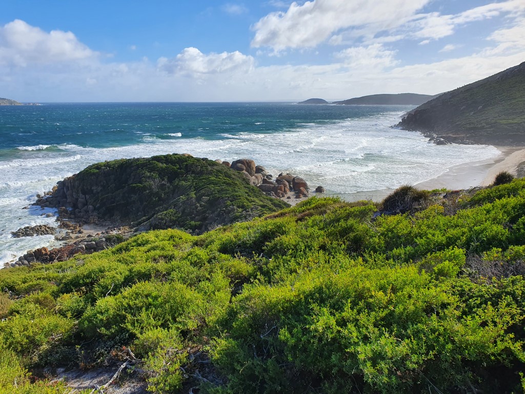
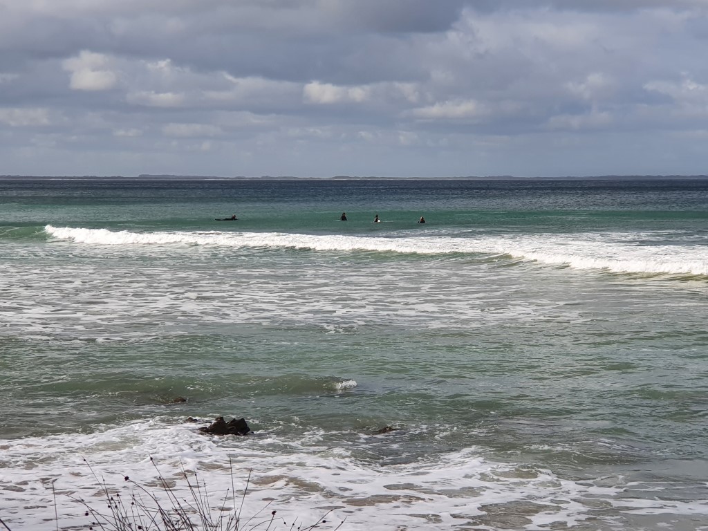
The beach/inlet at Tidal River, while small is quite picturesque and had that rugged ‘winter is coming’ feel to it. The wind was picking up and the surf was rolling in hard from the Southern Ocean. Some places look better when the weather is turning for the worse.
One of the weird things about the beach at Tidal River was the area where the freshwater river meets the sea. We noticed a number of bubbles gurgling away, which we firt thought was some sort of critter beneath the sand. We dismissed this idea because the bubbles were too regular and strong. We then noticed a number of small mounds in the sand just above the water line. When you stood on these mounds they would depress as if there was a partially filled balloon below the surface. It felt quite strange and we can only surmise that there is some for of trapped gas slowly bubling up from below. The short videos below show this strange phenomenon…
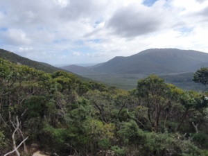
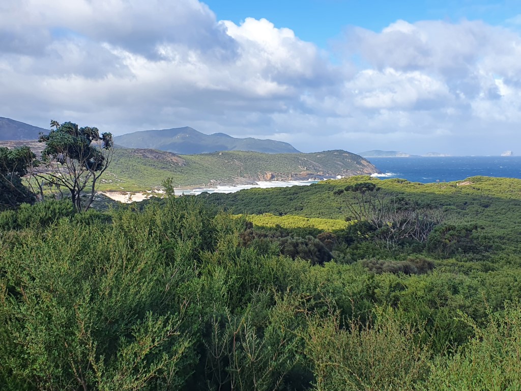
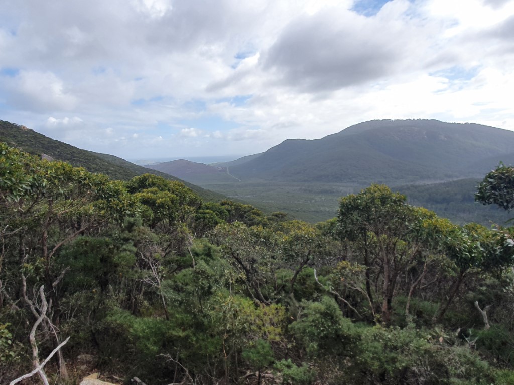
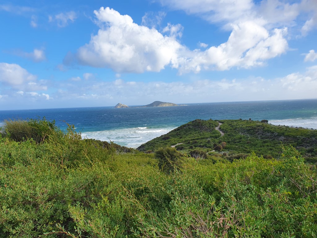
Nearby to Tidal River is a lookout beside Mt Oberon. Only a short drive but worth the effort to get an idea of the interior of The Prom’ and the National Park wilderness area that covers it.
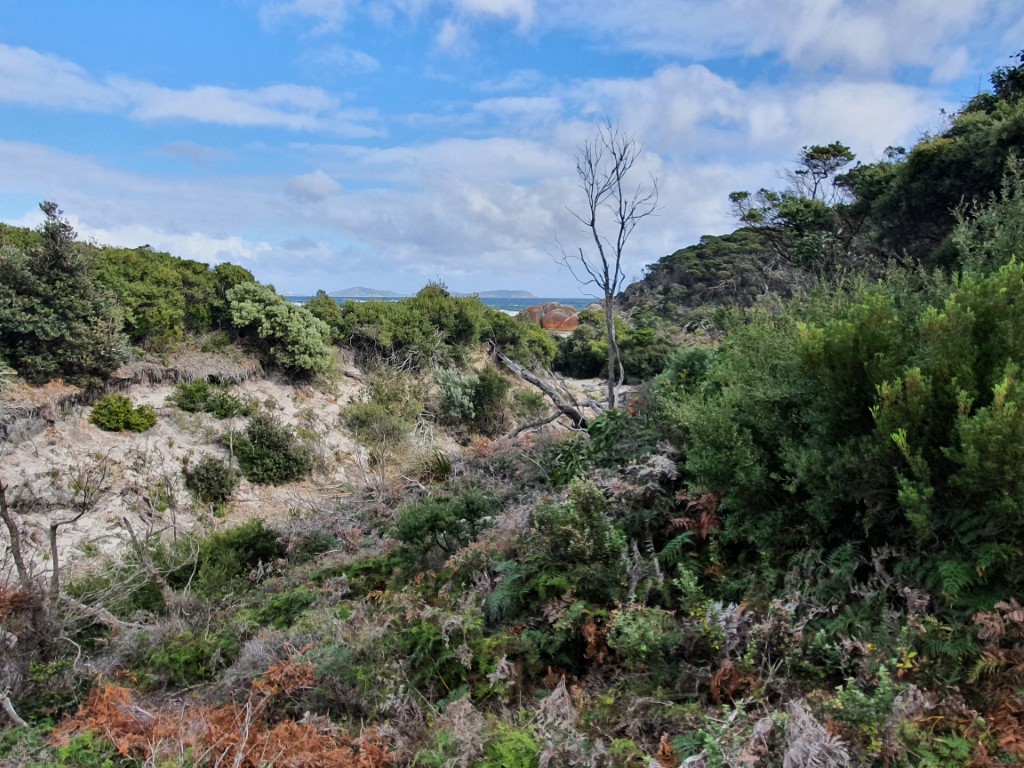
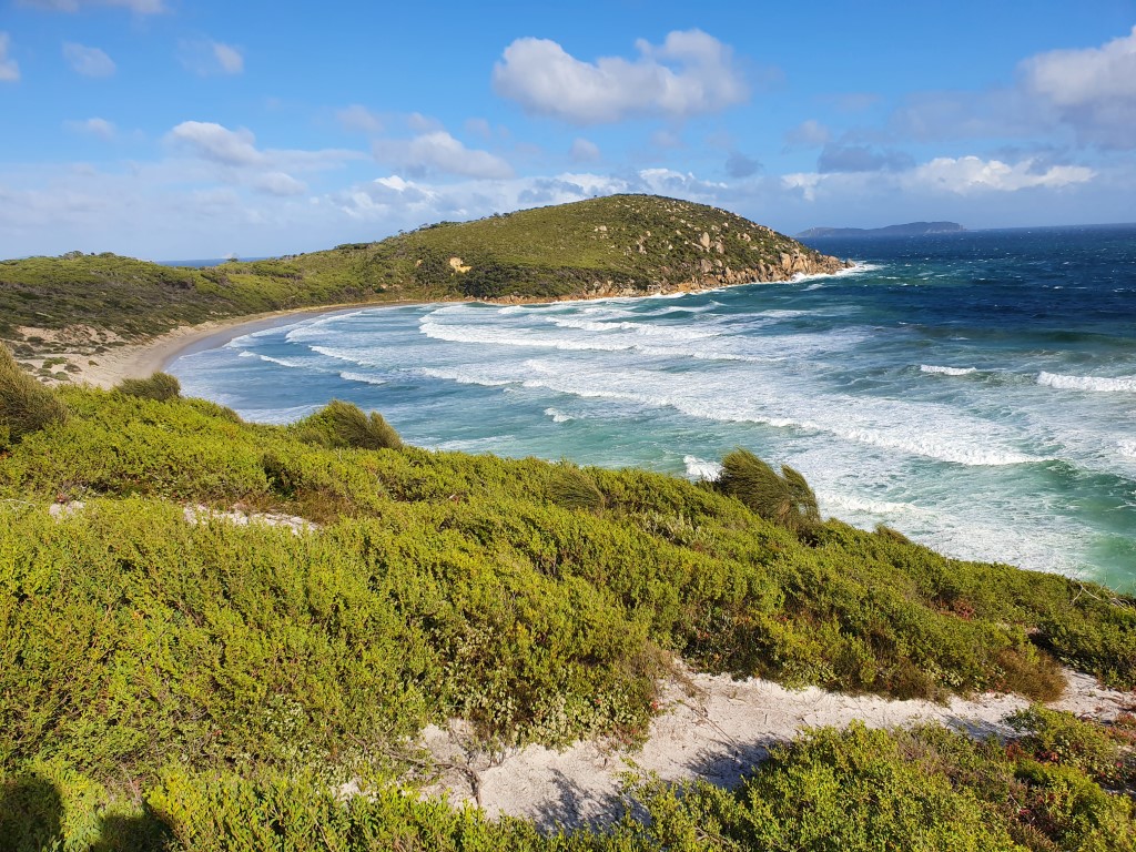
The Prom’ really is one of those places that looks its best when the weather is a bit wild and cantankerous. No doubt it is a great spot for summer camping but we thoroughly enjoyed seeing it as a wild place with minimal people.
So as the weather turned greyer and wetter we turned our heads to other areas around The Prom’ and our first stop was the village of Fish Creek. It’s one of those quiet little ‘out of the way’ communities that punches above its weight when you look into it a bit.
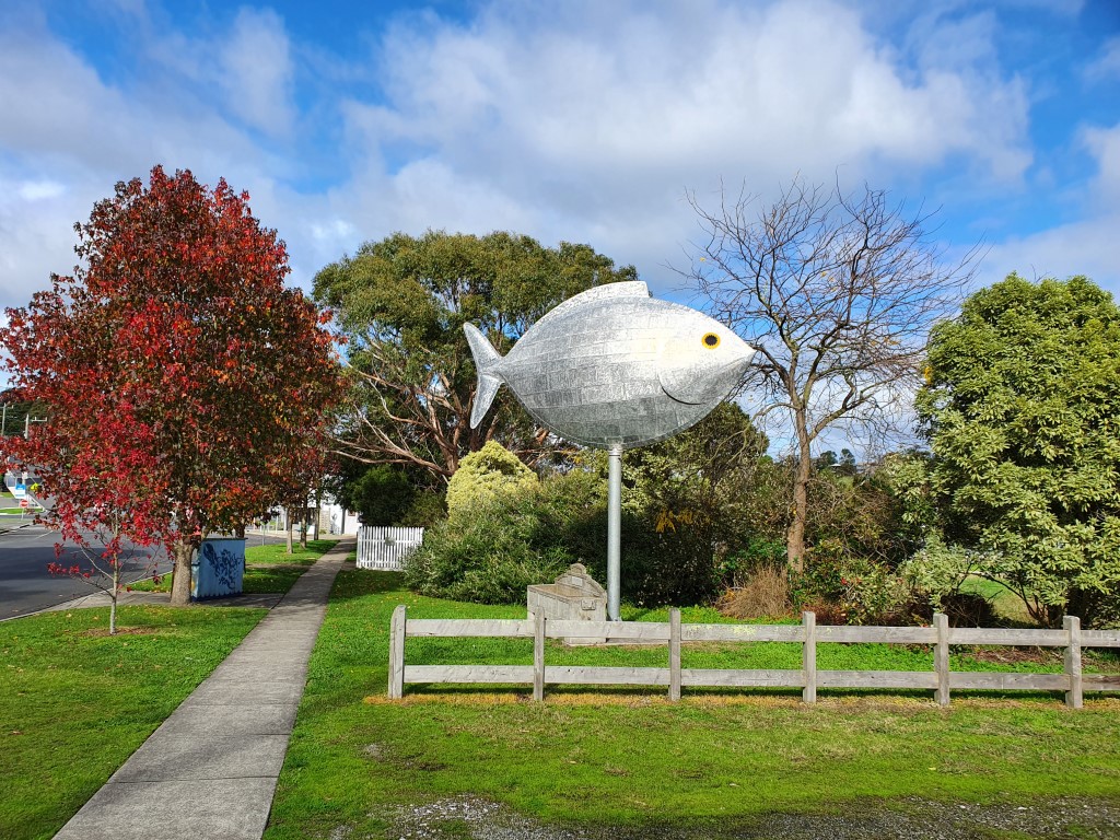
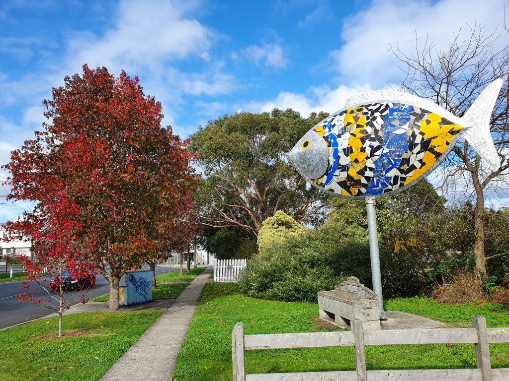
The first thing you notice as you drive into town is the large fish sculpture thats sits, and spins, atop a pole. I couldn’t find any information about it but I believe it is meant to represent a blackfish and had something to do with the 2000 Olympics. As far as ‘big things’ go… it’s actually quite pleasing as it slowly turns as the wind changes.
It is the home of Alison Lester, the Australia children’s author and illustrator. She has a shop in Fish Creek full of childrens books. As a point of interest, we couldn’t quite figure out why we knew the name and then it dawned on Jo that both our boys were taught in the ‘Alison Lester Unit’ building at their primary school.
Another notable at Fish Creek is the Celia Rosser Gallery. Celia Rosser is a botannical illustrator and some of her work is in Parliament House. Unfortunately the gallery was closed on the day we were there.
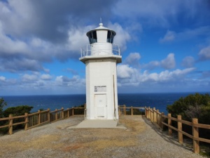
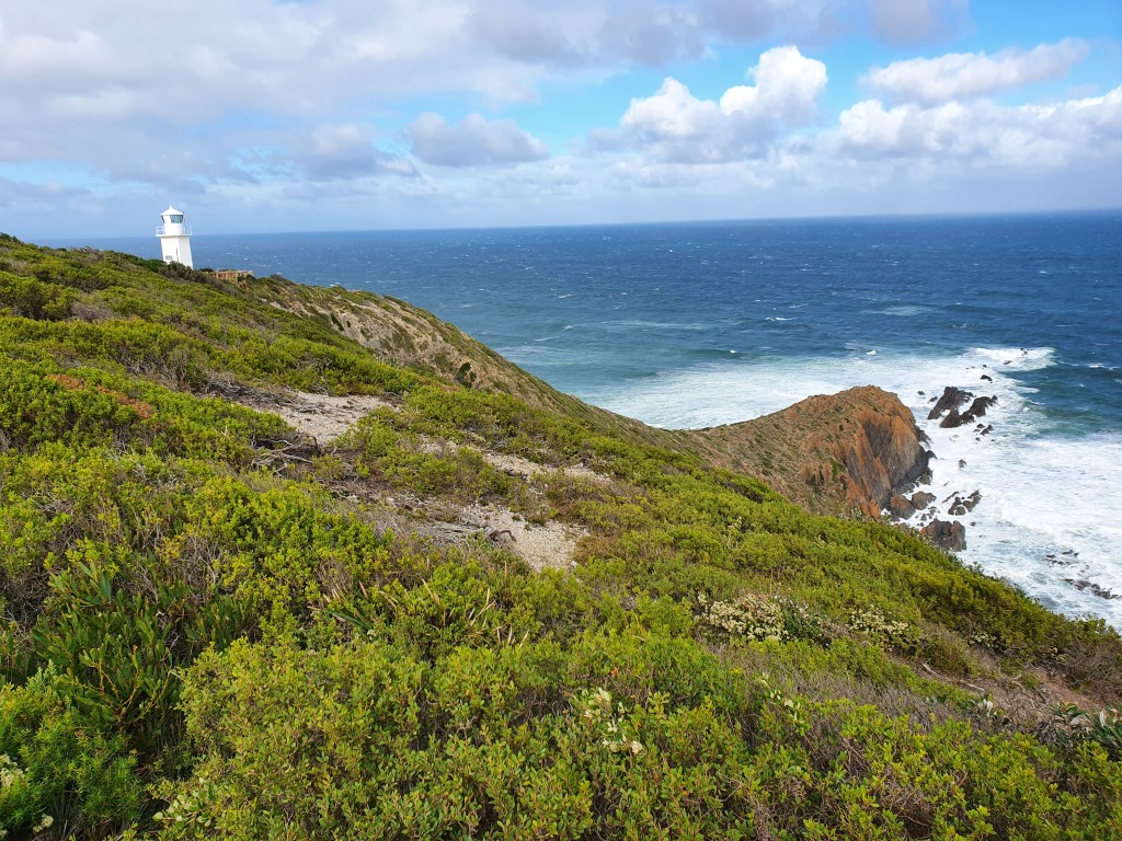
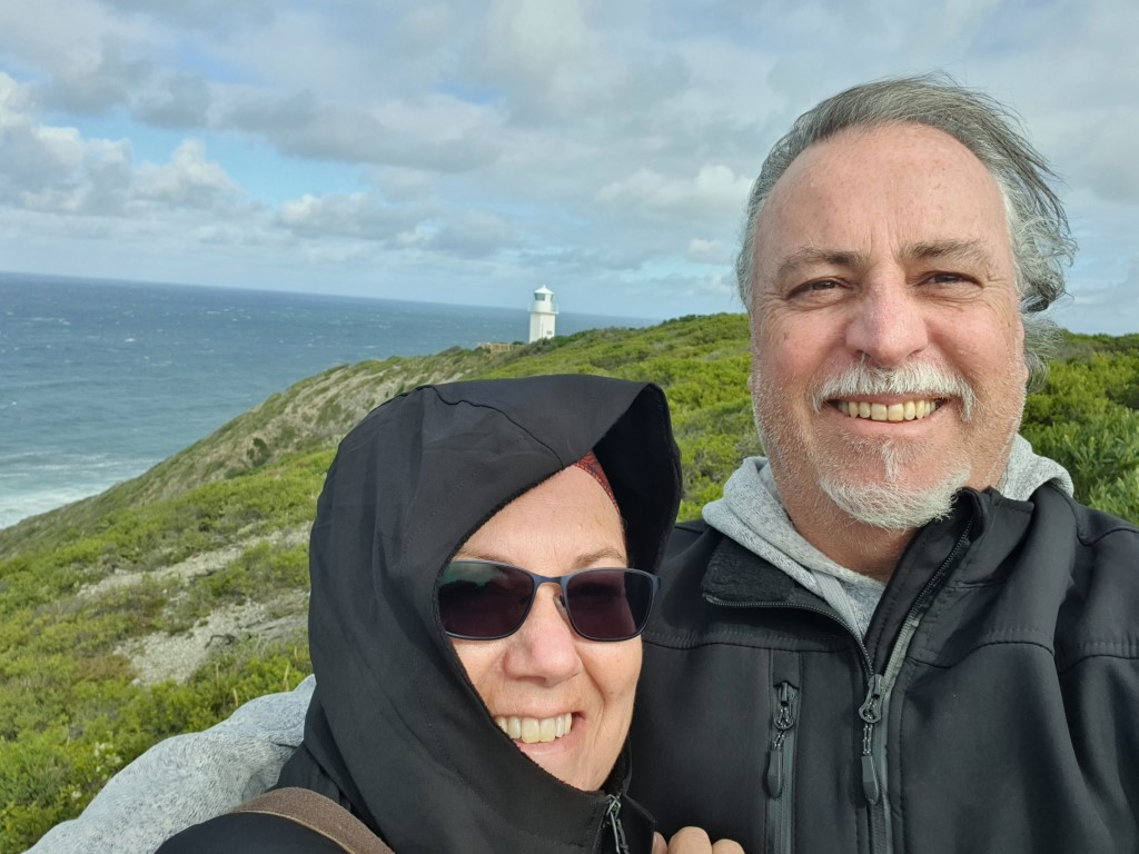
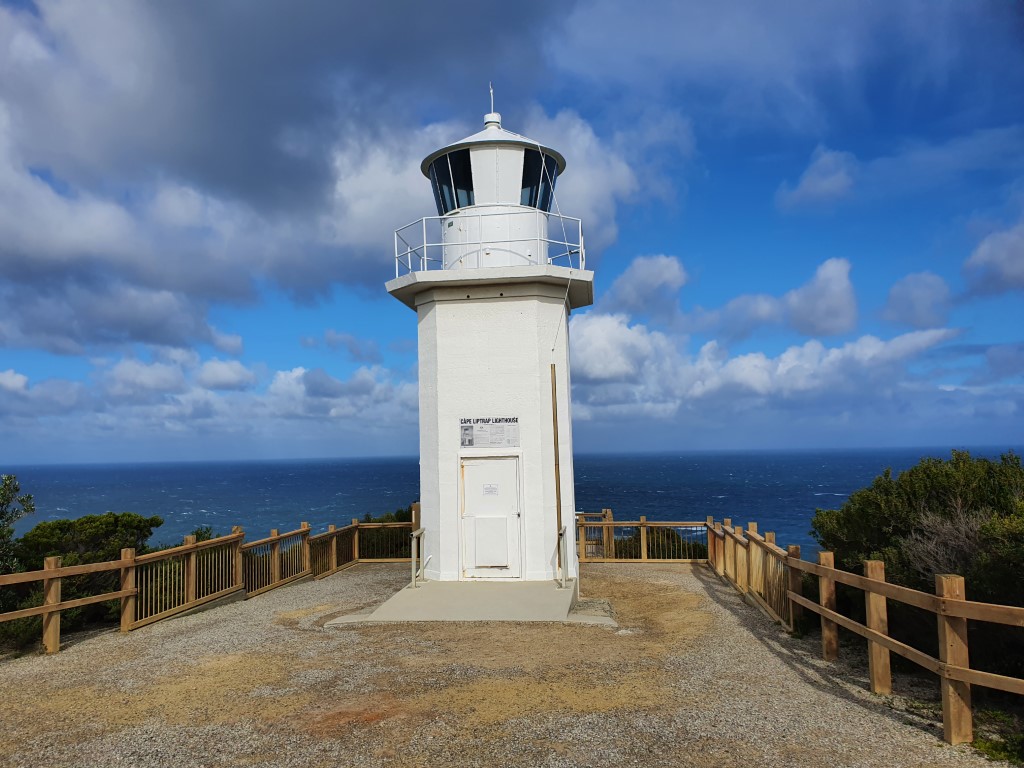
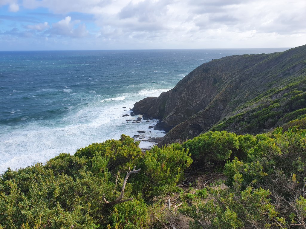
After a wander around Fish Creek we drove back down towards the coast and had a short walk to see the Cape Liptrap Lighthouse. It was at its best sitting atop a rugged coastal cliff with the wind howling up the cliff face and whipping the foliage around. It was the first fully automatic Commonwealth funded lighthouse.
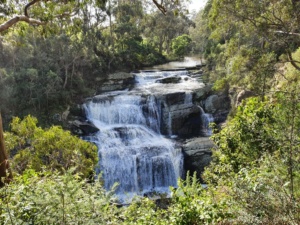
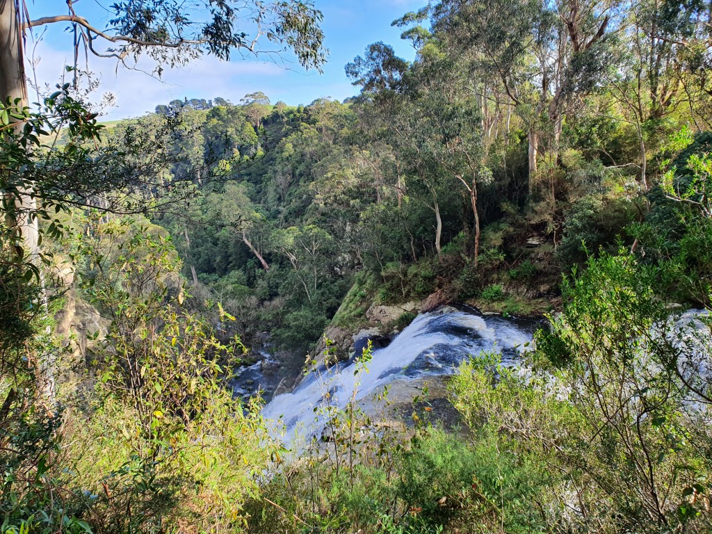
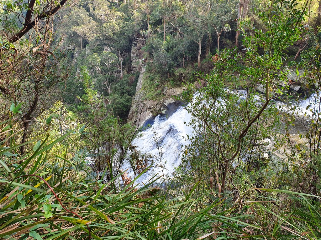
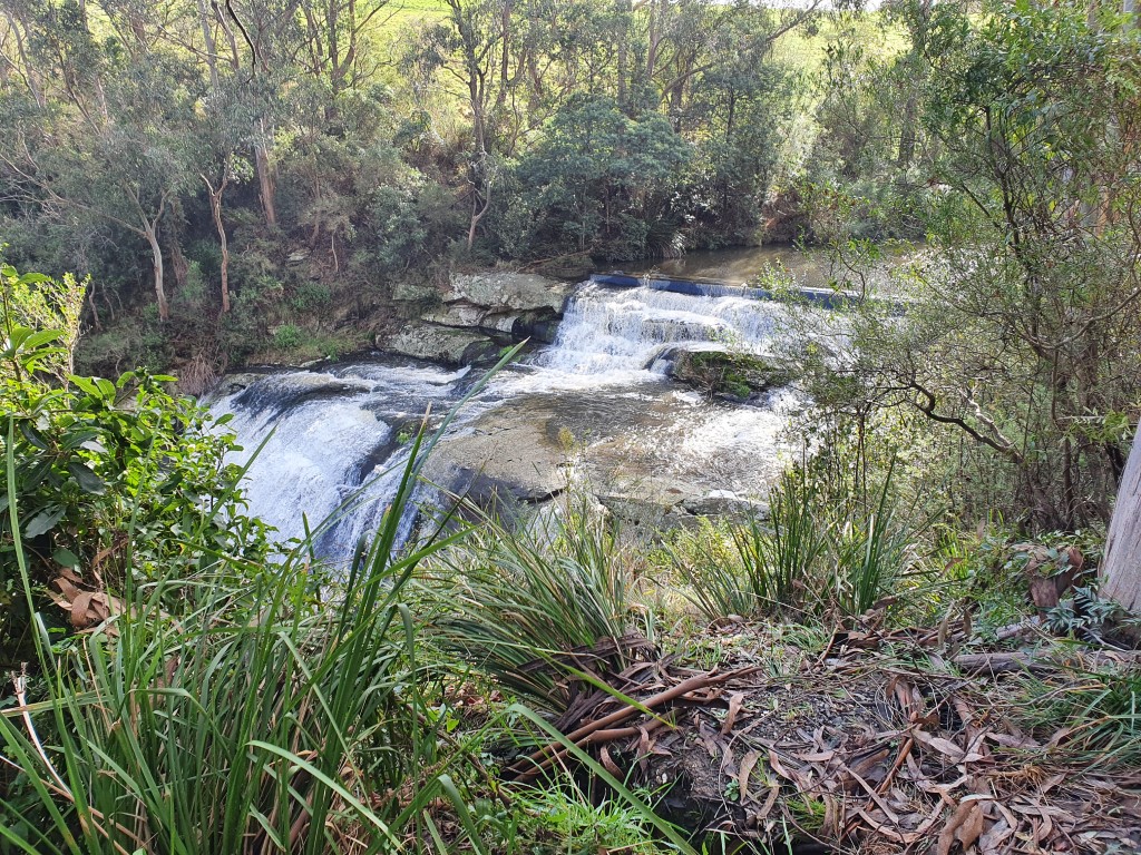
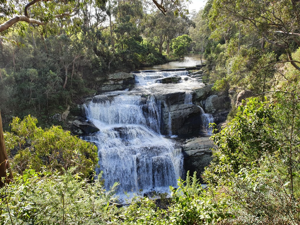
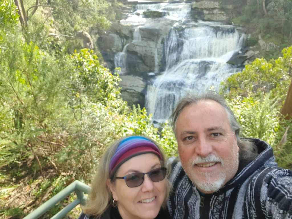
Our last full day in The Prom’ region was centered around the Foster area. Foster is one of the larger towns near The Prom’ but not our destination for the day. We headed straight for Agnes Falls, the largest waterfall in Victoria at 59m. To get to the falls you drive up into the hills where you get up close an personal with a series of wind turbines that tower above the road spinning lazily in the wind.
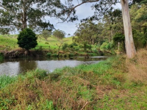
The falls are set in a well maintained park area and fed by the Agnes River that winds its way through some lush green dairy land. It is a very tranquil and serene setting and would make a perfect picnic setting on summer’s day. As it was, we were there on a cool, overcast day with the whole place to ourselves so that was also a little pleasure that we could enjoy.
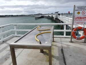
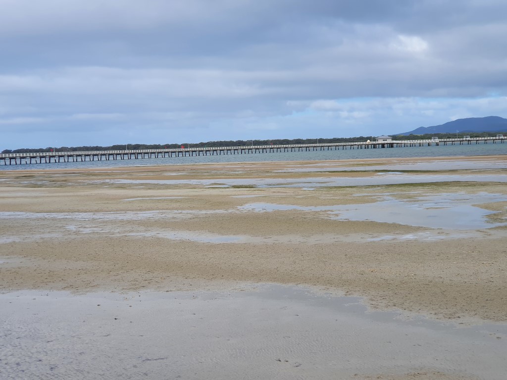
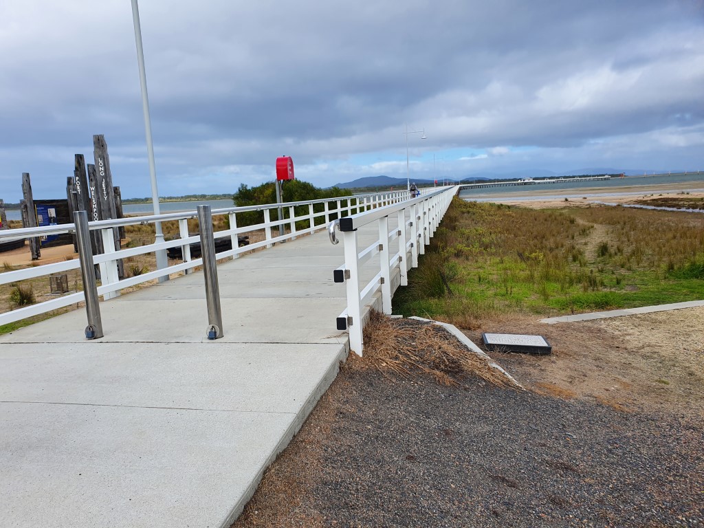
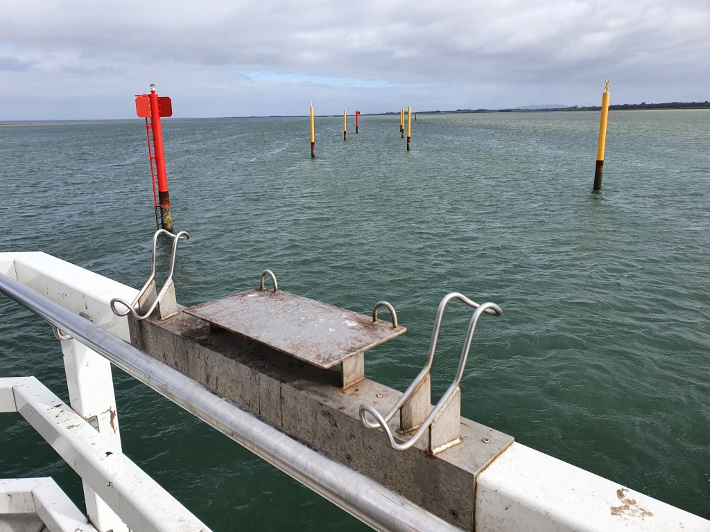
From Agnes Falls we drove back via Port Welshpool. This was primarily to take a look at the Port Welshpool Jetty, which is the third longest wooden jetty still standing in Australia. It curves out into the water for nearly 800m and was shortened after refurbishment in the early 2000’s.
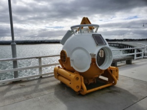
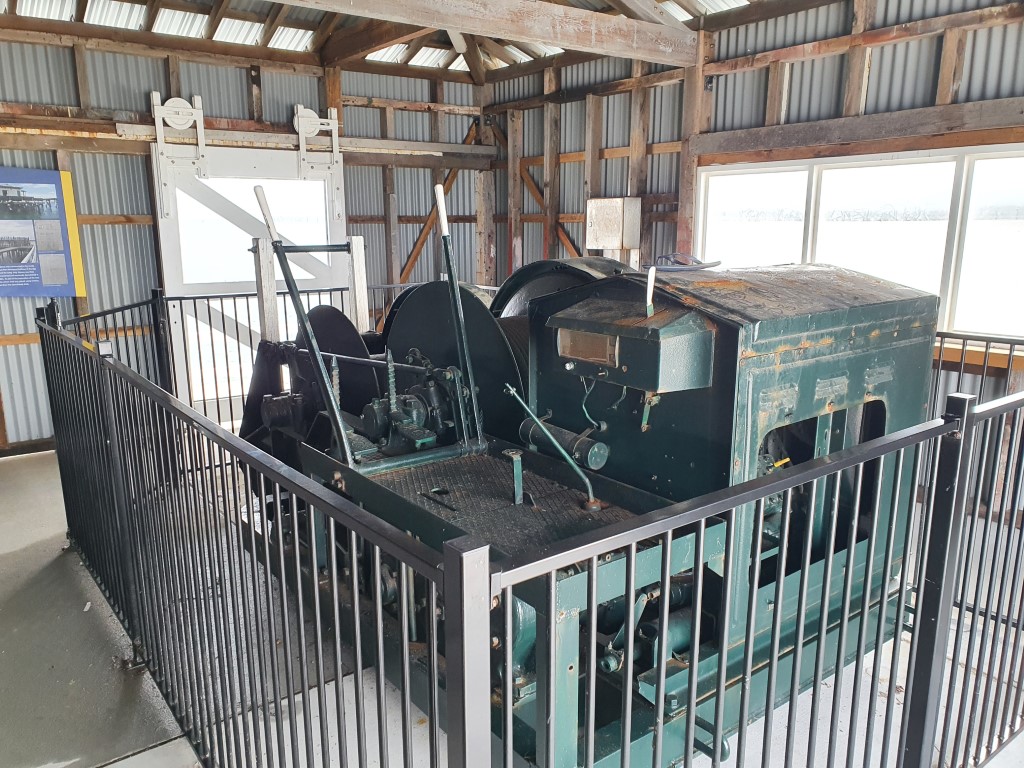
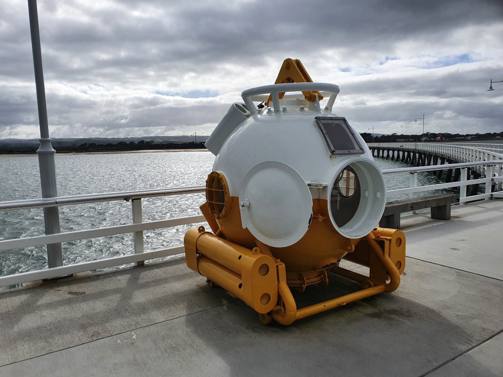
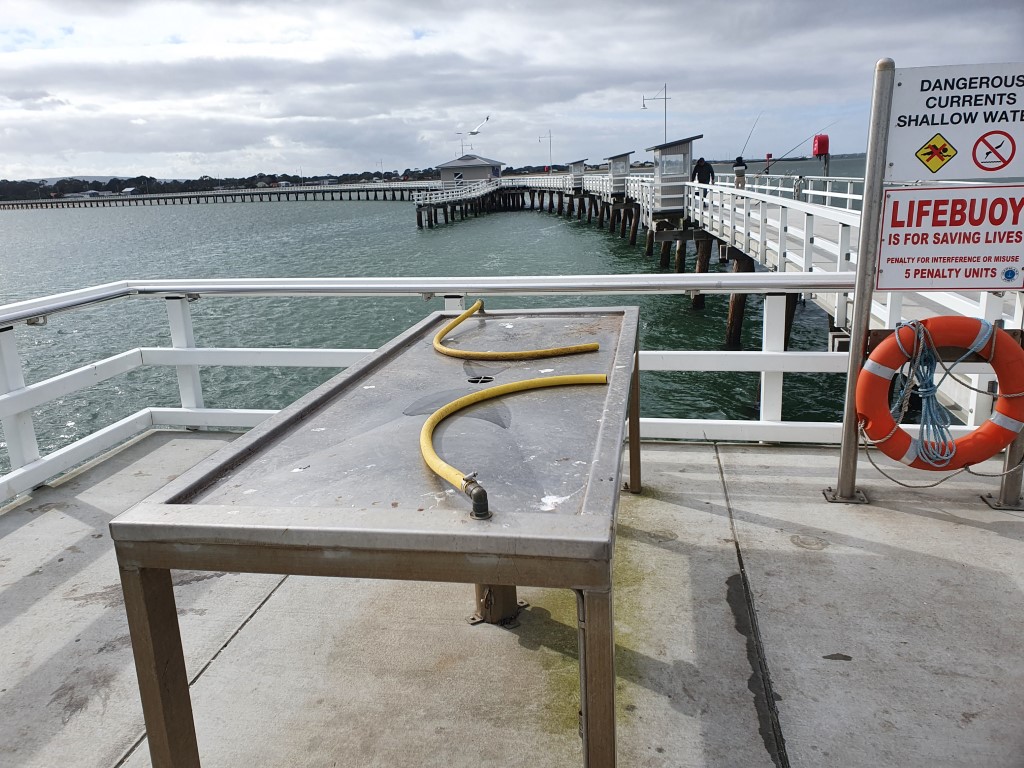
The jetty has a number of purpose built fishing shelters at the end that provide welcome relief from the biting wind. There is also a shed that houses a historic winch with a diving bell on display outside it. It was a pleasant walk out to the end of the jetty and back despite the cold wind blowing directly off the water. A number of hardy fishers were holed up at the end of the jetty and you can imagine that it would be quite pleasant dropping in a line (and catching nothing) on a warm summer’s evening.
That pretty much marked the end of our time on The Prom’. It’s worth noting though that we were expecting prices to be somewhat inflated down this way given that it’s a little bit out of the way… We were pleasantly surprised to see that fuel and groceries at the Yanakie store weren’t really any different to anywhere else we had been since leaving home. It’s nice to be surprised like that.
Anyway… it’s off to the Mornington Peninsula…

